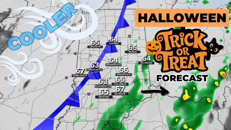
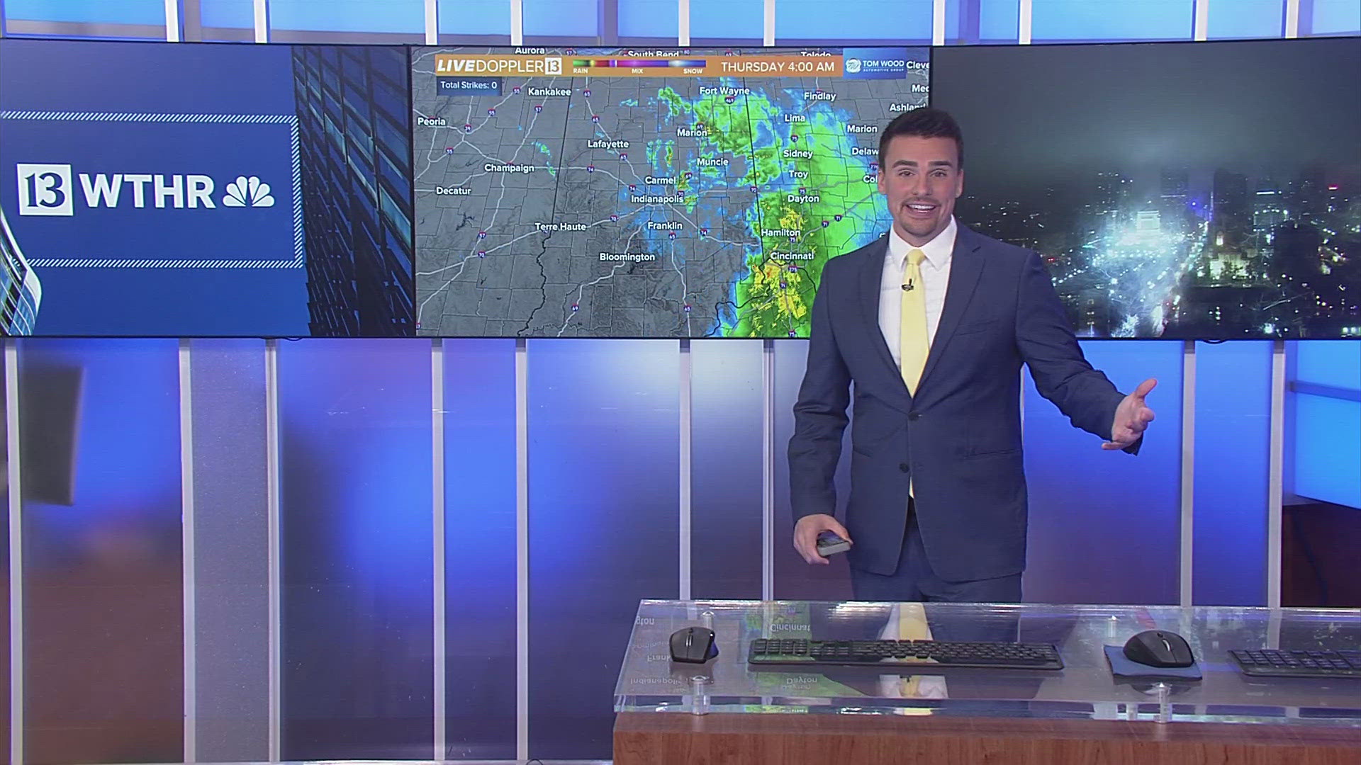
INDIANA, USA — We are tracking showers and storms across Indiana for much of Halloween Thursday as a strong cold front sweeps across the Midwest. Expect some heavier rain at times until 1 p.m. Afterwards, you may still get some light spotty rain showers at times through 5-6 p.m. We may stay partly to mostly cloudy the rest of the evening.
Tap HERE to track the rain and the front with our interactive radar.
Northwest wind will pick up after sunset, quickly dropping us to the 50s from 8-9 p.m. It may feel like the 40s in some spots.
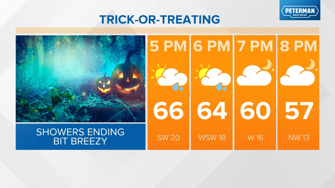
Evening Forecast
- 4 p.m.: 60s, isolated showers
- 5 p.m.: 60s, stray showers
- 6 p.m.: 60s, stray showers (especially east of Indianapolis)
- 7 p.m.: 60s, stray showers (especially east of Indianapolis)
- 8 p.m.: 50s, partly to mostly cloudy
- 9 p.m.: 50s, partly to mostly cloudy
- 10 p.m.: 50s, partly to mostly cloudy
RELATED: Tracking and timing Halloween rain and storms across Indiana | Live Doppler 13 Weather Blog

Rain zones for Thursday evening 4-8 p.m.
Highest rain chances will be in eastern and southern Indiana this evening. The rain included in these zones will be light showers.

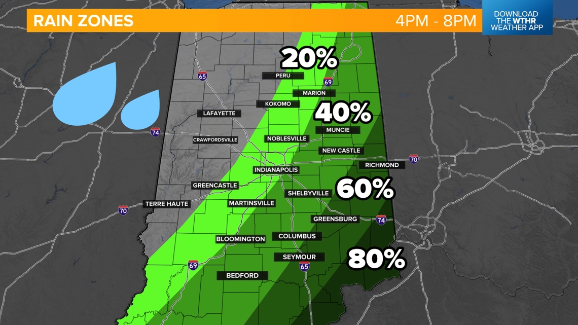
Western and northern Indiana will be drying out. In fact, areas north and west of Indianapolis may be dry by 2-4 p.m.
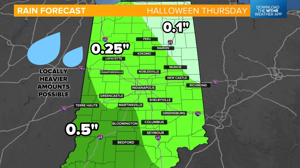
Rainfall forecast
Rainfall totals will range depending on where the heaviest downpours track, but much of central Indiana will be aiming toward 0.25 inches. Some places will get a little more, while others get a little less. The highest rainfall totals are likely to be south and west of Indianapolis.

Sunny skies will be back by Friday. It will be chilly with highs capped in the 50s.


