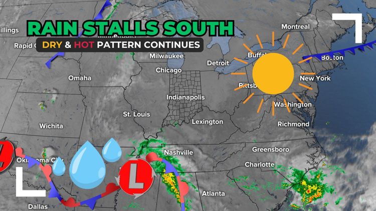
INDIANAPOLIS — Our dry September pattern continues as the remnants of Francine stall over the Mid-South, preventing rain from moving in.


This weekend
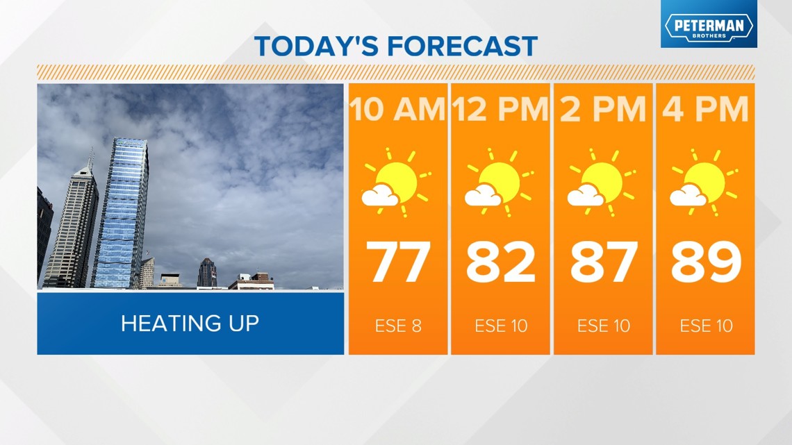
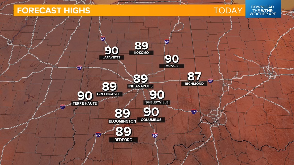
- Sunny afternoon with unseasonably warm temperatures topping out in the upper 80s, near 90
- Clear and mild tonight with lows in the mid-60s
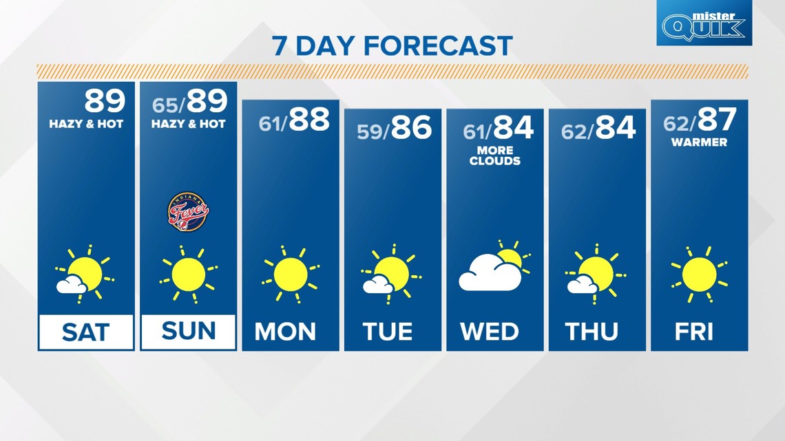
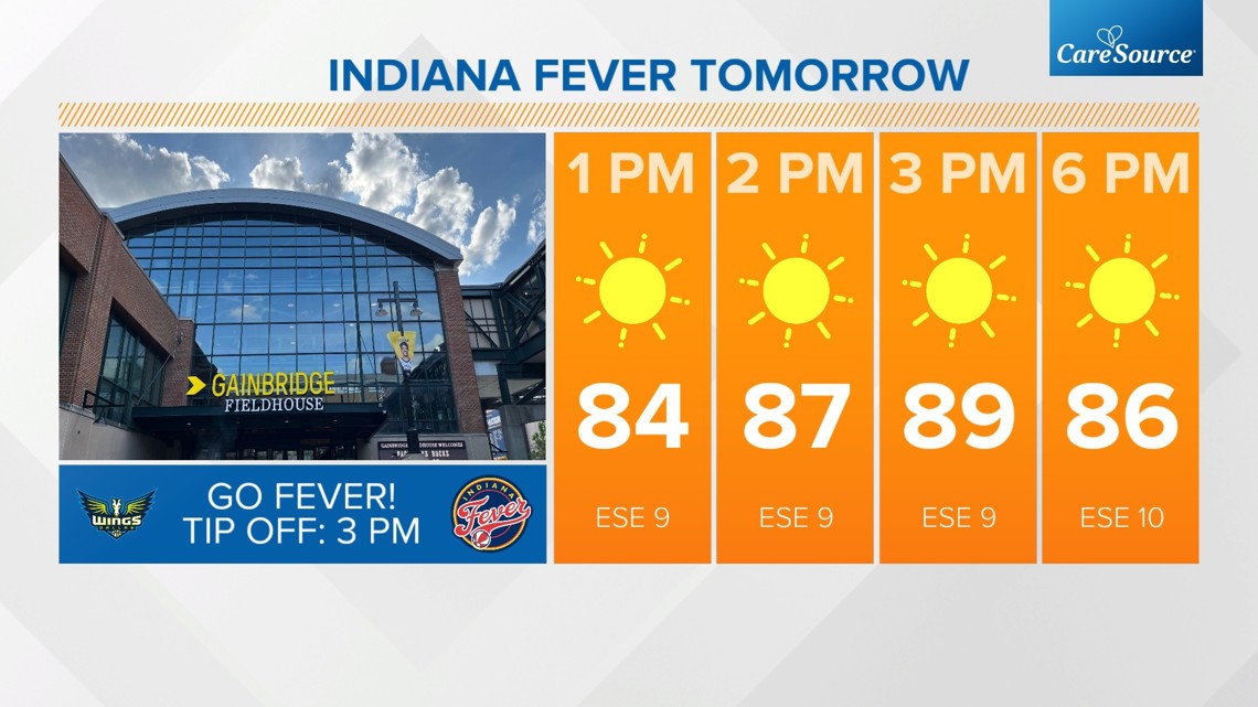
- Sunday will be nearly a copy and paste of today with sunny skies, a light southeast breeze and highs in the upper 80s
- Burn bans in place, especially for eastern and southern Indiana where drought conditions are more prevalent



How long are we looking at this dry, hot stretch continuing?
The pattern remains unchanged for Monday. A dry ground and sunny sky will combine to aid in above normal temperatures with highs again in the upper 80s. It'll be mostly sunny in mid to upper 80s on Tuesday.

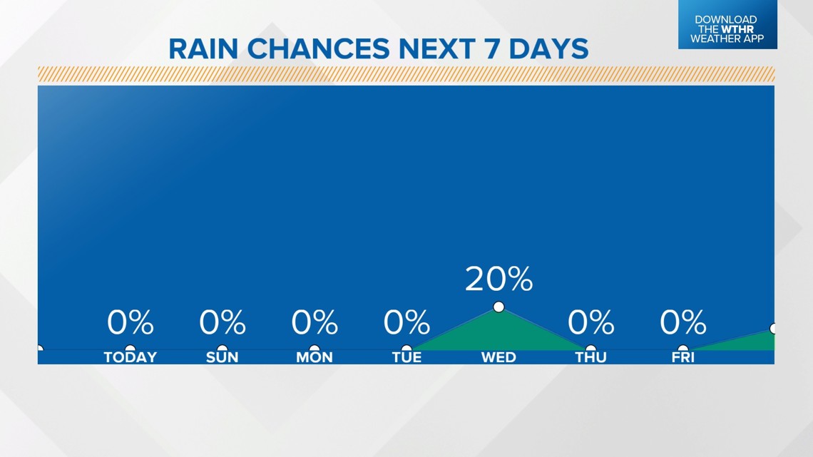
The only slight chance that parts of central Indiana see a rain opportunity will be on Wednesday as the remnants of a decaying tropical system move across the Appalachians. If moisture holds together, there may be a few showers in east and southeastern Indiana, but this will be a tough battle against a very dry air mass that remains in place.

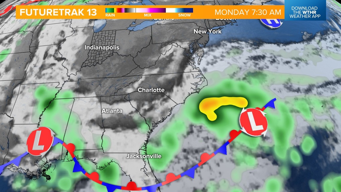

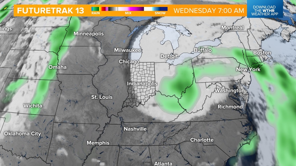
Temperatures will trend downward into the mid-80s with that system for Wednesday and Thursday but warm back into the upper 80s by Friday into next weekend, with dry air and sunshine returning.

