INDIANAPOLIS — It's another unseasonably warm day in central Indiana with temperatures well in the 80s again.
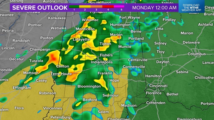
Right now, storms are focused in western Indiana, where a Severe Thunderstorm Watch is in effect until 9 p.m.
These are mainly pulse storms that pulse up, rain themselves out, and create new storms from their rain-cooled outflow.
Downpours, large hail and frequent lightning will be the main threats with these storms between now and sunset.
The storms are relatively slow-moving, at 10-15 mph, which will keep them far removed from the Indy metro area for a bit longer.
However, all bets are off for dry weather around Indy by 7 p.m., and rain/thunderstorms will be widespread by 10-11 p.m.
That's terribly timed for those wanting to see the total lunar eclipse (Blood Moon) tonight as clouds, rain and thunderstorms play the role of spoiler.
At this time, we expect the severity of storms to diminish after sunset and rain to be out of the state by sunrise Monday.


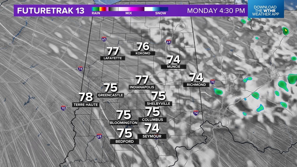
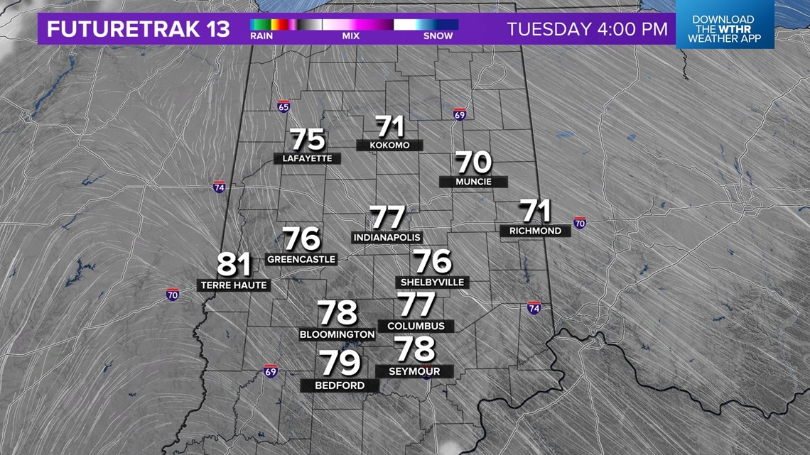
This opens the gates to less humid air as the Muggy Meter goes comfortable for Monday and Tuesday.
A brightening sky Monday with temperatures in the mid/upper 70s will make for a pleasant day.
Weather Tuesday for Indy 500 practice at Indianapolis Motor Speedway will be very nice as well, before the next round of rain/storms arrives Wednesday into Thursday.


