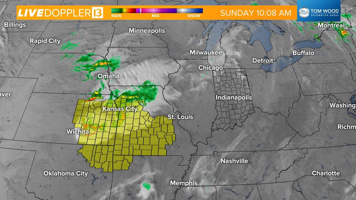
INDIANAPOLIS — A strengthening storm system is brewing to our west and is already prompting severe thunderstorm warnings and watches across Kansas, Oklahoma, and Missouri.

Temperatures are on their way to the mid-to-upper 80s this afternoon with increasing clouds. Widespread storms will develop along a frontal boundary, mainly after 5 p.m., but a few spotty storms could pop up ahead of the front in the late afternoon.

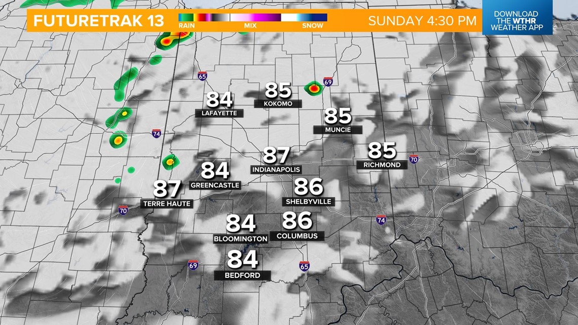

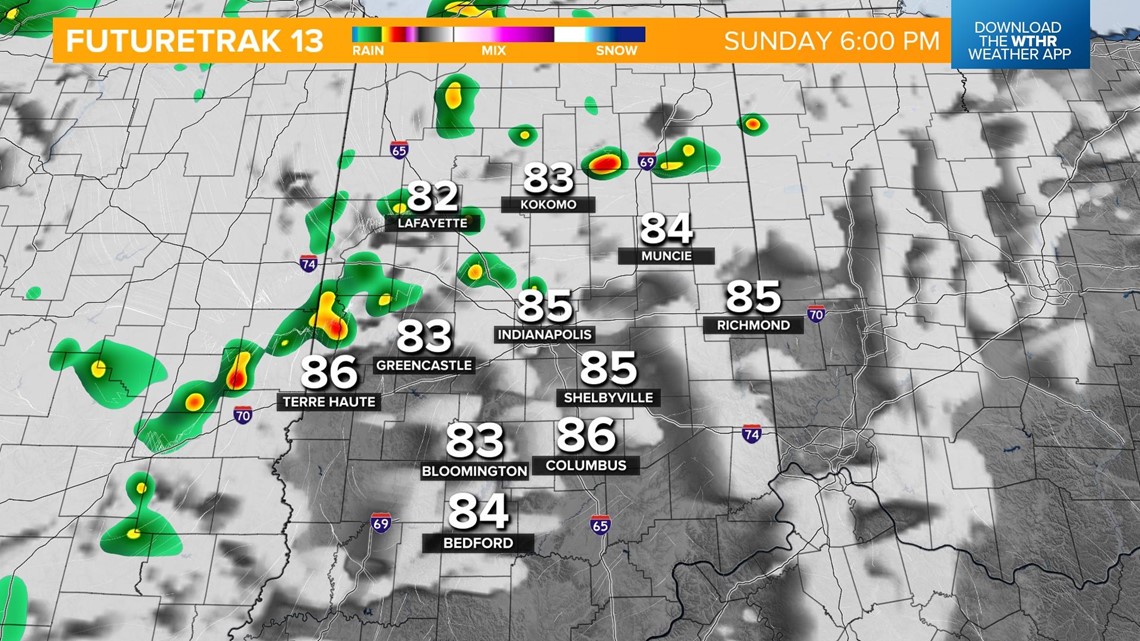
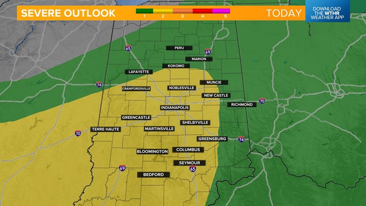
The Storm Prediction Center has placed most of central Indiana under a level 2 of 5 for the potential of scattered severe storms. Damaging wind gusts and hail are the primary threats through the evening. This could lead to isolated power outages and downed trees/branches.


Storms will continue to impact the area through midnight. Keep this in mind as you head to bed this evening as you'll want to plan ahead to have a way to receive warnings. The risk of strong storms continues through the overnight hours, but will clear out by 3 a.m. early Monday.

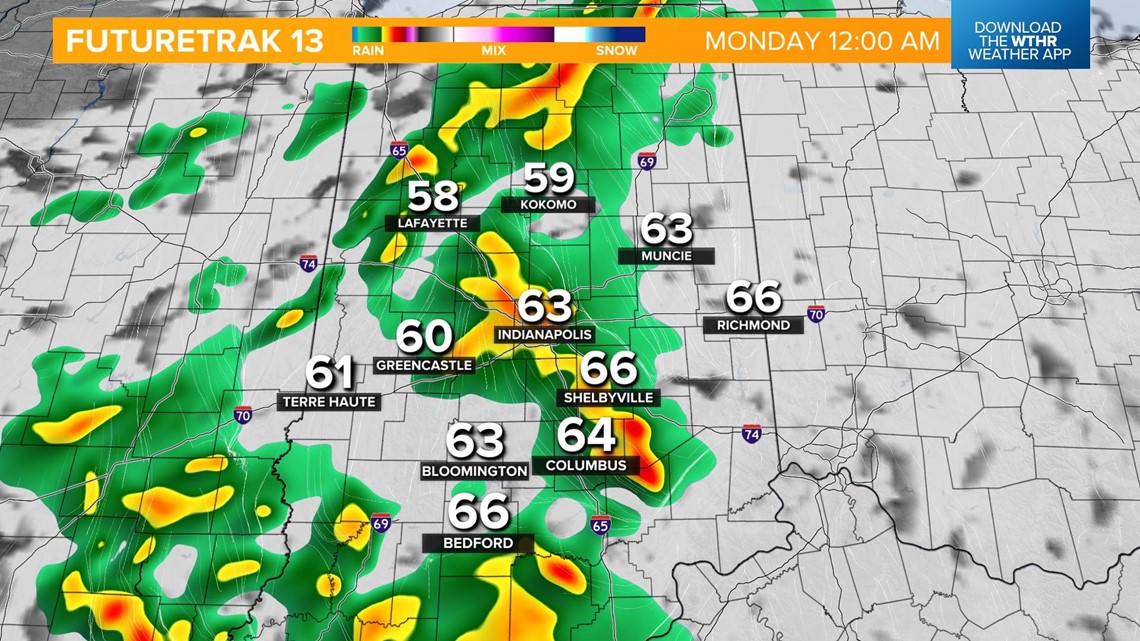

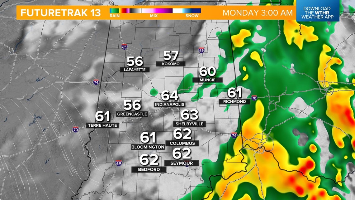
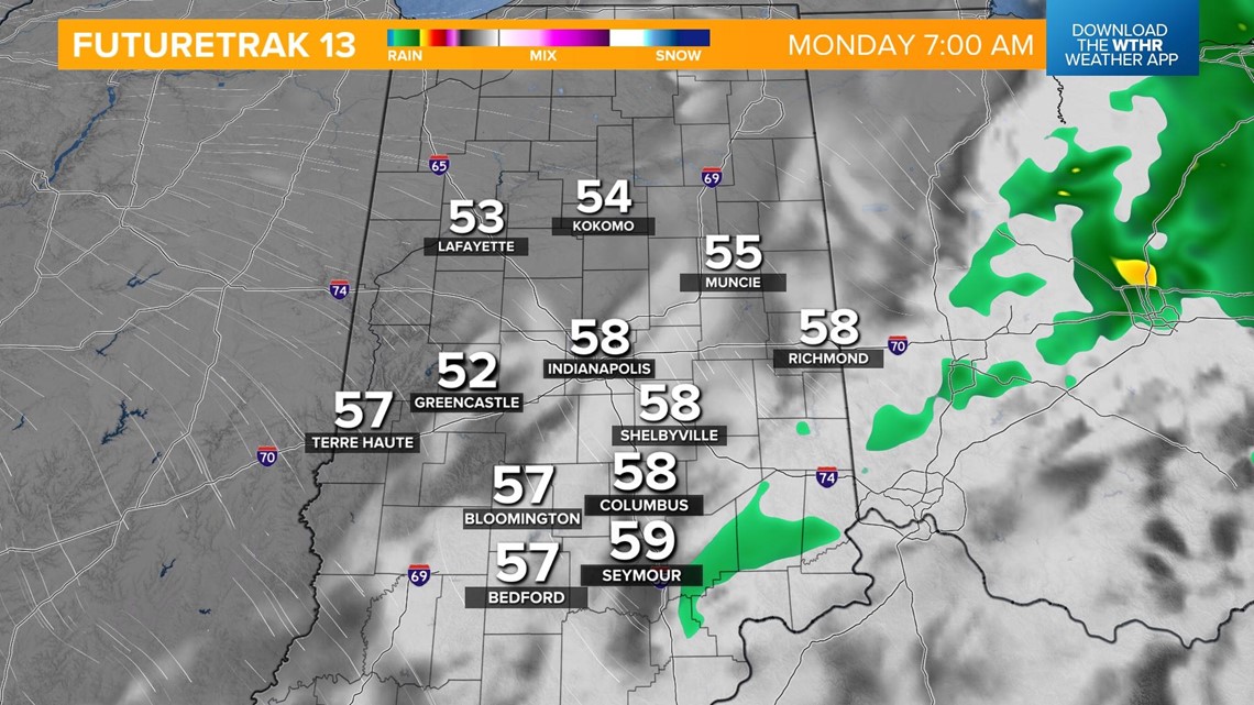
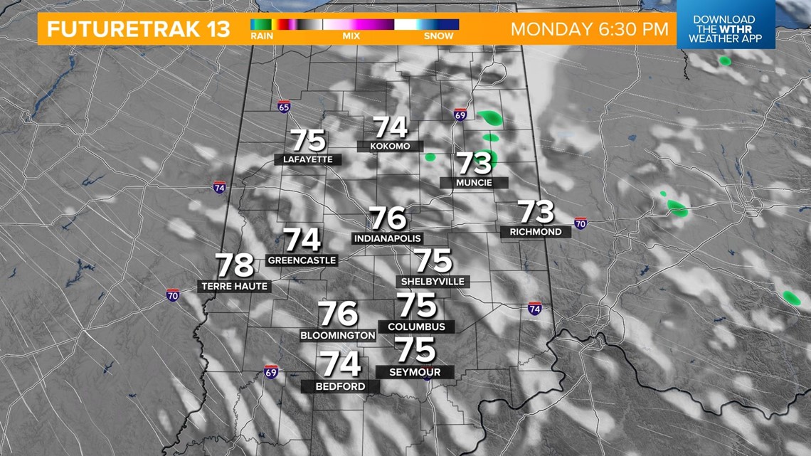
The sky will clear by the Monday morning rush as temperatures drop back into the mid 50s. It'll be a sunny and seasonal afternoon with highs in the mid 70s.

