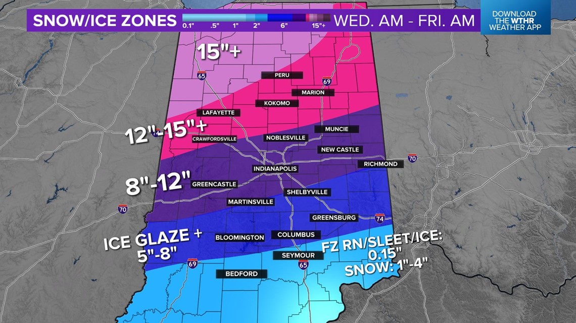
INDIANAPOLIS — Indianapolis agencies are preparing for the winter storm expected to move into central Indiana on Wednesday and create significant impact with rain, ice and snow on Thursday.
Following the storm, there will be a dramatic drop in temperatures making conditions even more dangerous.
Weather forecasted
A Winter Storm Warning will be in effect from 7 a.m. on Wednesday through 1 a.m. on Friday for Marion County.
The Wednesday morning rush hour through the Indy metro shouldn't see much of an impact other than wet roads.
Colder air will progressively push south through Wednesday afternoon with a wintry mix becoming likely just north of the I-70 corridor.
Through the afternoon, the metro will start to see a wintry mix with icy road conditions developing. This will be a tough time to travel since crews won't have much time to pretreat the roads with this preceding morning rainfall.
Wednesday evening into Thursday morning will be the timeframe that conditions really begin deteriorating through the metro as the wintry mix transitions into snow. A light ice glaze will potentially be covered by the fresh snowfall during the Thursday morning commute.
Snow rates begin to intensify Thursday through the morning and afternoon with the heaviest snowfall accumulation likely at this point, making roads very difficult and nearly impassable across northern Indiana.
The snowfall potential for the metro area is 8-12 inches.
The system is still on track to exit the state between 5 p.m. and 7 p.m. Thursday.


Roadways
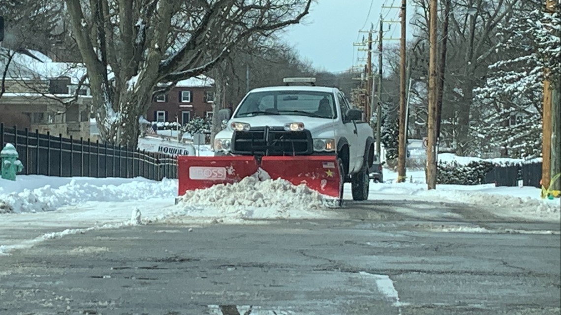
The Indianapolis Department of Public Works will have 200 workers prepared to help with clearing city streets. Outside contractors will be on standby to clear secondary streets, but will likely not be called in until the snow and drifting has stopped, which will likely be Friday. Keep in mind: wind will begin gusting to 30-40 mph Thursday evening, creating blowing and drifting, even after the snow ends.


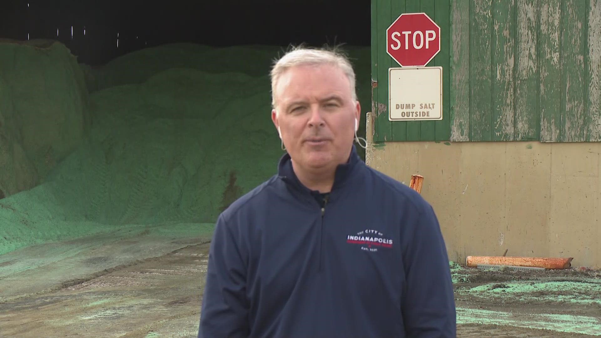
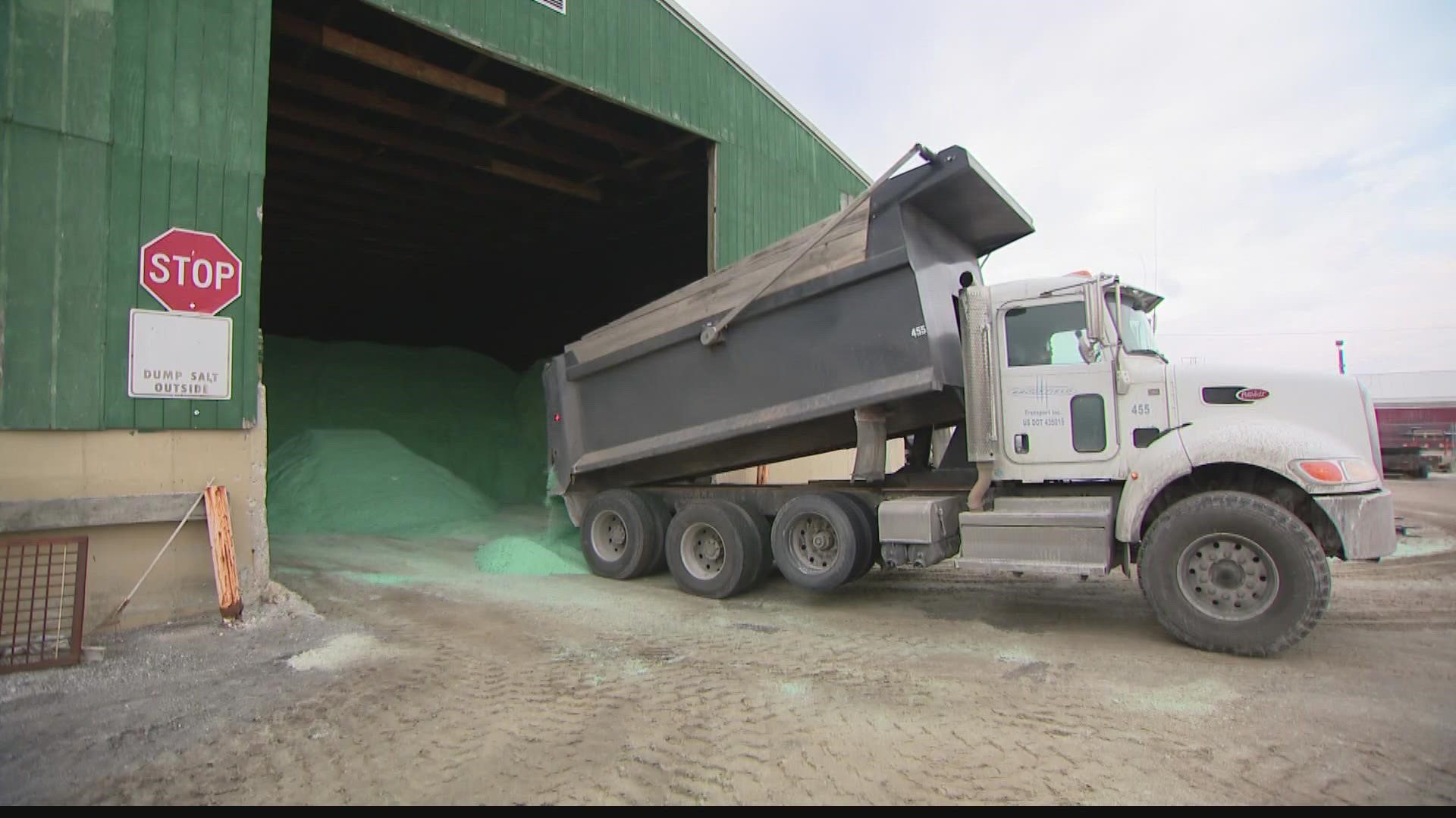
The city estimates it has 11,000 tons of salt on hand and that nearly all salt barns are at capacity.
DPW asks drivers to not cut off snowplows, and to slow down and give them room to work.
"It is a 12- to 15-ton vehicle that can cut a car in half. Do not play chicken with a snow truck driver," said Department of Public Works Director Dan Parker.
Salt trucks will not be able to treat the roads until the rain has stopped, meaning the roads will be more slippery and drivers are asked to stay at home if possible.
If someone does need to go out on the roads, DPW recommends leaving with plenty of time and taking it slow.
"Even with a little layer of ice, you can lose control. Given the fact the roads won't be pretreated, be cognizant to take it slow. Come Thursday morning, leave early if you have to go out," said Parker.
The agency also suggested people have water and food in the car in case they get stuck. If someone does get stuck or gets into an accident, they should be prepared to wait a while for emergency workers to arrive.
Assisting those experiencing homelessness
The city's 2022 Winter Contingency Plan includes city-funded shelters operated by Wheeler Mission to aid with overflow of Wheeler Mission's traditional shelters. That includes 105 rooms at a local hotel, IPS School 68, and placing people in a local church.
Indy Parks and Indianapolis Public Library locations can be used during business hours as warming centers.
Food assistance, crisis hotlines, disability- or health-related concerns, and more can be accessed by calling 211 or going online.
Power outages
AES Indiana will have crews ready in the event of power outages. Conditions can affect response and service times.
If a fallen tree limb or downed tree is responsible for an outage, do not go near it. Call or notify AES Indiana and it will coordinate with DPW on getting the tree removed and power restored.
For the AES Indiana outage map or to report an outage, click here.
Duke Energy has already called in an additional 300 workers to be ready to hit the road to work on power lines weighed down by ice or snow.
If your home loses power, don't forget to close off rooms. That will help you avoid wasting heat. Closing your blinds and curtains will also help keep in some heat.
The Indiana Department of Homeland Security recommends gathering in a well-insulated interior room, while unplugging most electronic devices to avoid damage from a power surge when service is restored. Keeping a single lamp plugged in and turned on will let you know when the electricity is back up and running.
Another way to keep the cold air out and the warm air in is to stuff towels or rugs in the gaps under doorways.
Also, wear layers of loose-fitting, lightweight warm clothing and don't forget to eat and drink so you have some energy to stay warm. But as much as you may want it, avoid caffeine and alcohol.
Duke Energy customers can find the latest power outage information here.
Frigid temperatures
Following the winter storm, temperatures will fall into the single digits and near zero at times.
Here are some warning signs of cold exposure:
Frostbite:
- Numbness
- Skin that feels unusually firm or waxy
- A white or grayish-yellow skin area
Hypothermia:
- Shivering
- Exhaustion
- Confusion, fumbling hands
- Memory loss or slurred speech
- Drowsiness
In Indianapolis, a city ordinance says pet owners are required to provide a few basic necessities to our four-legged companions in severe cold.
Dogs, specifically, have to be brought inside when it's colder than 40 degrees outside. They also need to be provided with bedding.
Dogs should also not be tied up or chained outside between 11 p.m. and 6 a.m. Fines run up to $200 for offenders.
If you're concerned about the safety of an animal in Indianapolis call the Mayor’s Action Center at 317-327-4622. For after-hour emergencies, you can call 317-327-3811.


