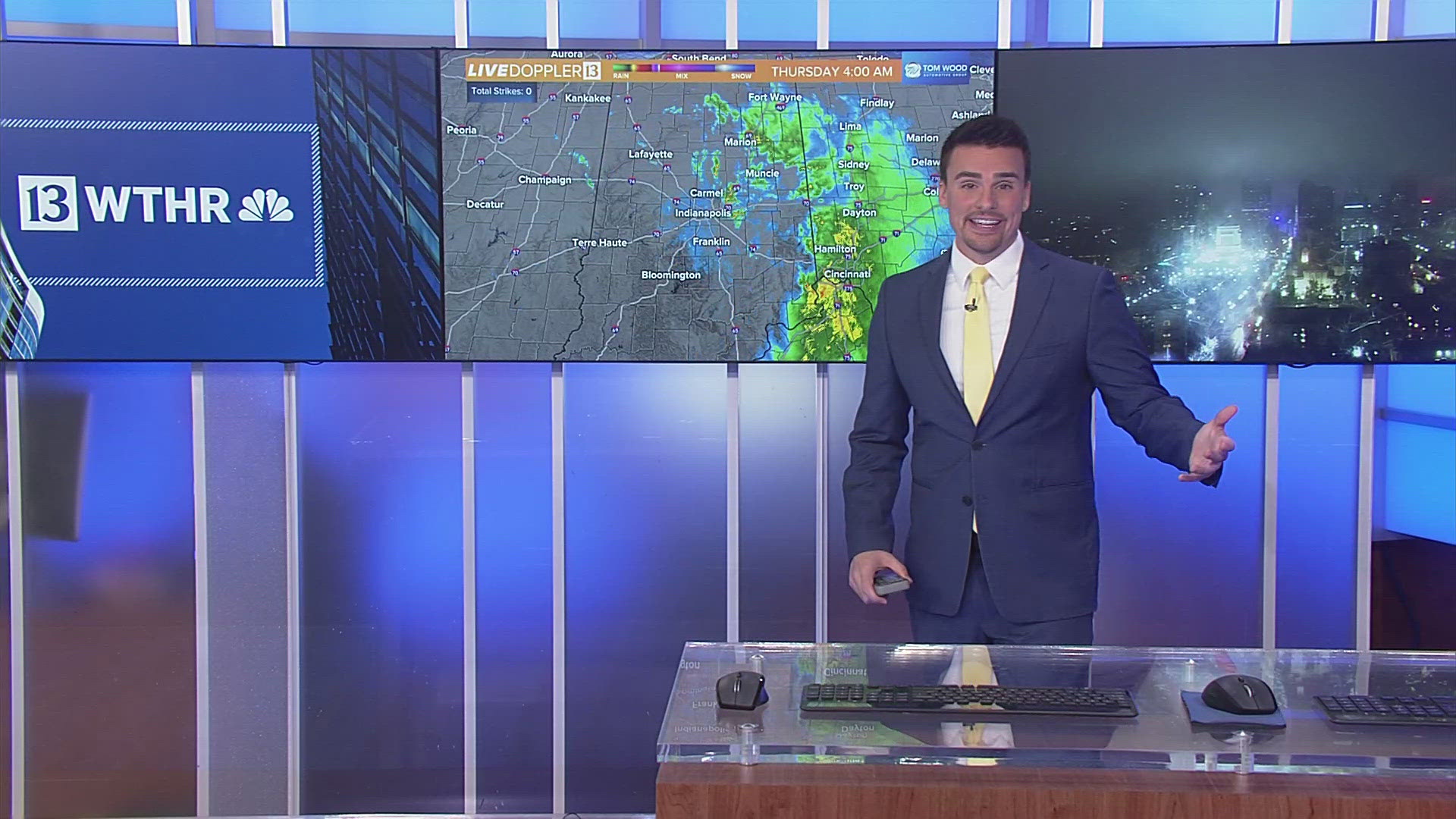
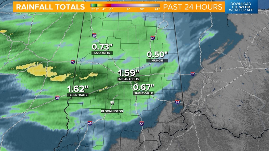
INDIANAPOLIS — A complex of showers and storms that pushed through this morning brought a significant amount of rain throughout central Indiana. With many spots picking up over 1" of rainfall, be on the lookout for areas of standing water and localized flooding.

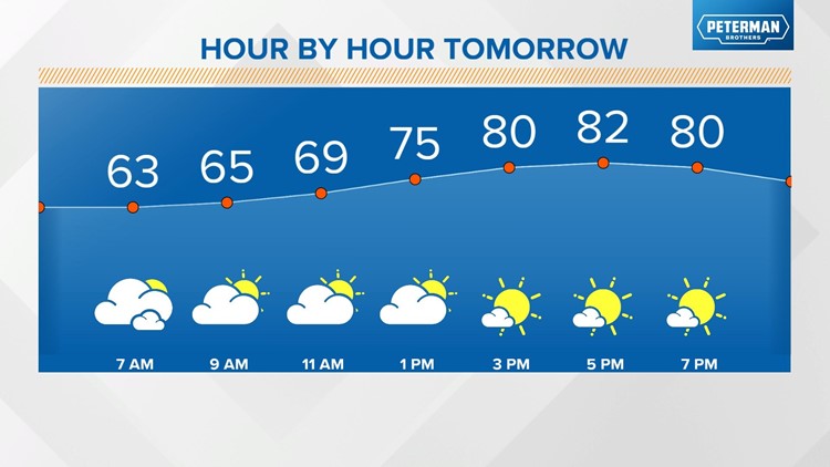
We'll see plenty of dry hours this afternoon, allowing temperatures to recover to near 80. As a cold front approaches later this afternoon, another round of storms will fire up, especially along and south of I-70. Northern parts of the state will likely miss out on this second round of storms.

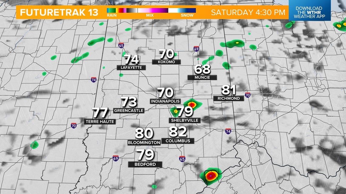

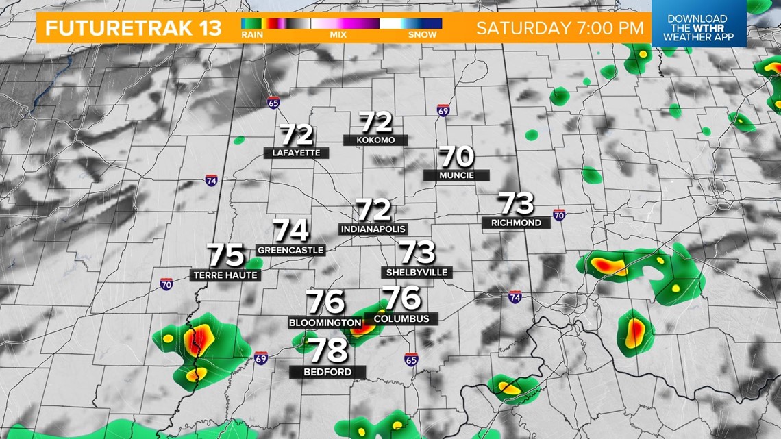

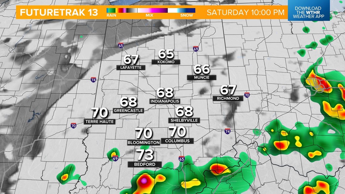
Where we do see these storms pop, there is a chance they could be strong to severe, with damaging wind gusts as the primary threat.

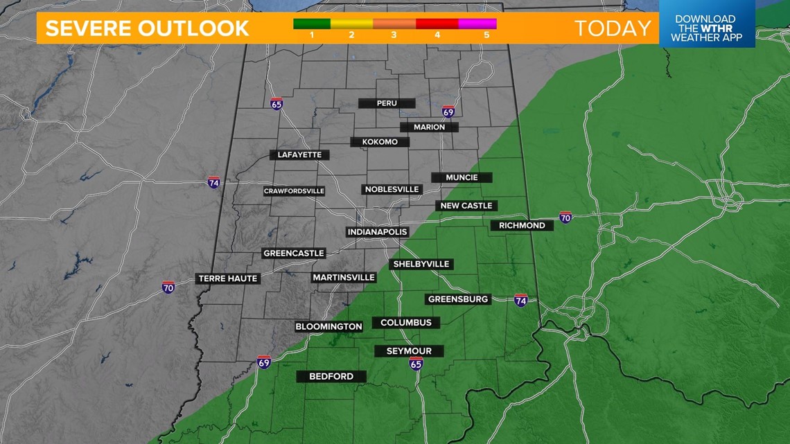
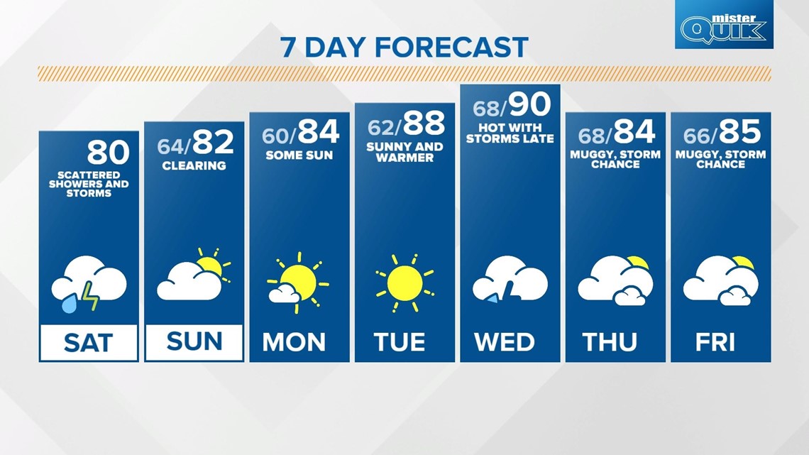
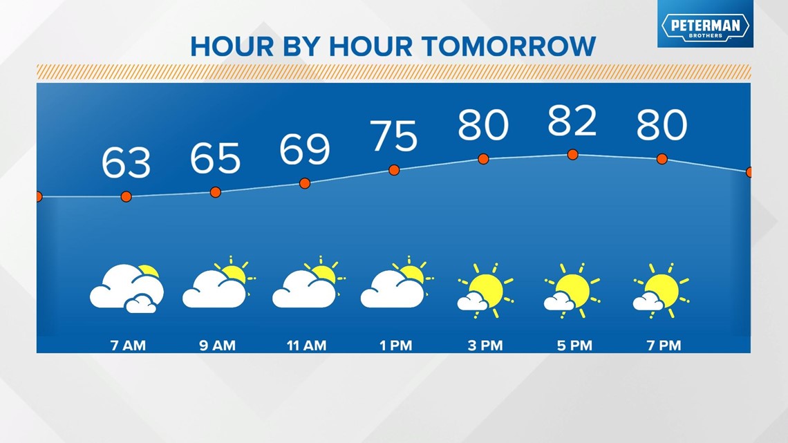
This system will push southeast after sunset with the severe risk coming to an end and skies gradually clearing overnight. Temperatures will drop into the low 60s. Skies will continue to clear during the day Sunday with highs in the low 80s.

Temperatures will trend upward through early next week with sunshine and highs in the mid-80s Monday, upper 80s Tuesday, and pushing 90 on Wednesday. Our next weather system arrives late Wednesday, bringing storm chances as well as a slight cooling trend by late next week.

