
INDIANAPOLIS —
Rain timeline and coverage
- This afternoon: Widespread and locally heavy
- Tonight: Cloudy with scattered showers
- Wednesday morning: Showers and clouds likely
- Wednesday afternoon: Isolated rain chance with some sun as clouds break
Forecast details
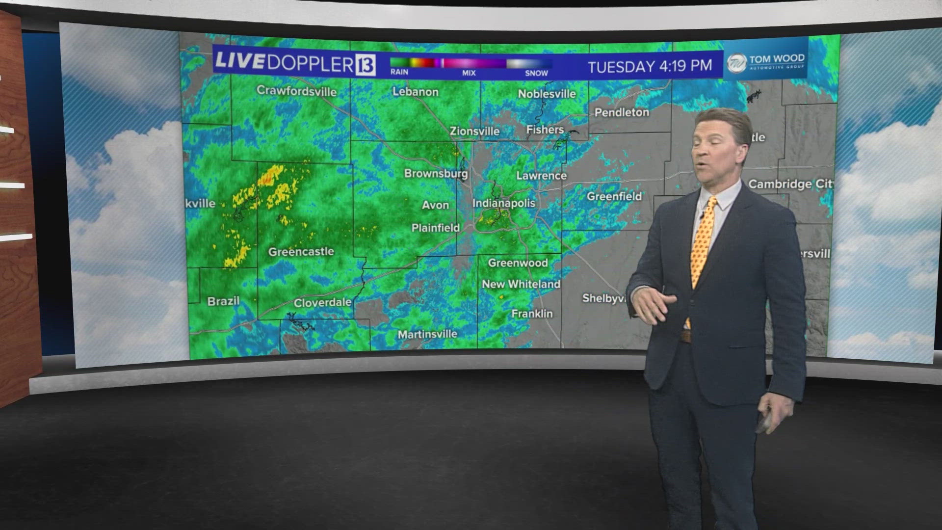
Our wet Tuesday is in progress, and we'll continue to see varying intensity of rain for the remainder of the day. Rain rates vary from light to locally heavy with plenty of atmospheric moisture for a slow-moving upper level low to squeeze-out.
No severe weather is expected, but rumbles of thunder and ominous low-level clouds likely as the low spins through the viewing area. This feature keeps showers lingering around overnight and into at least Wednesday morning as it turtles to the southeast.

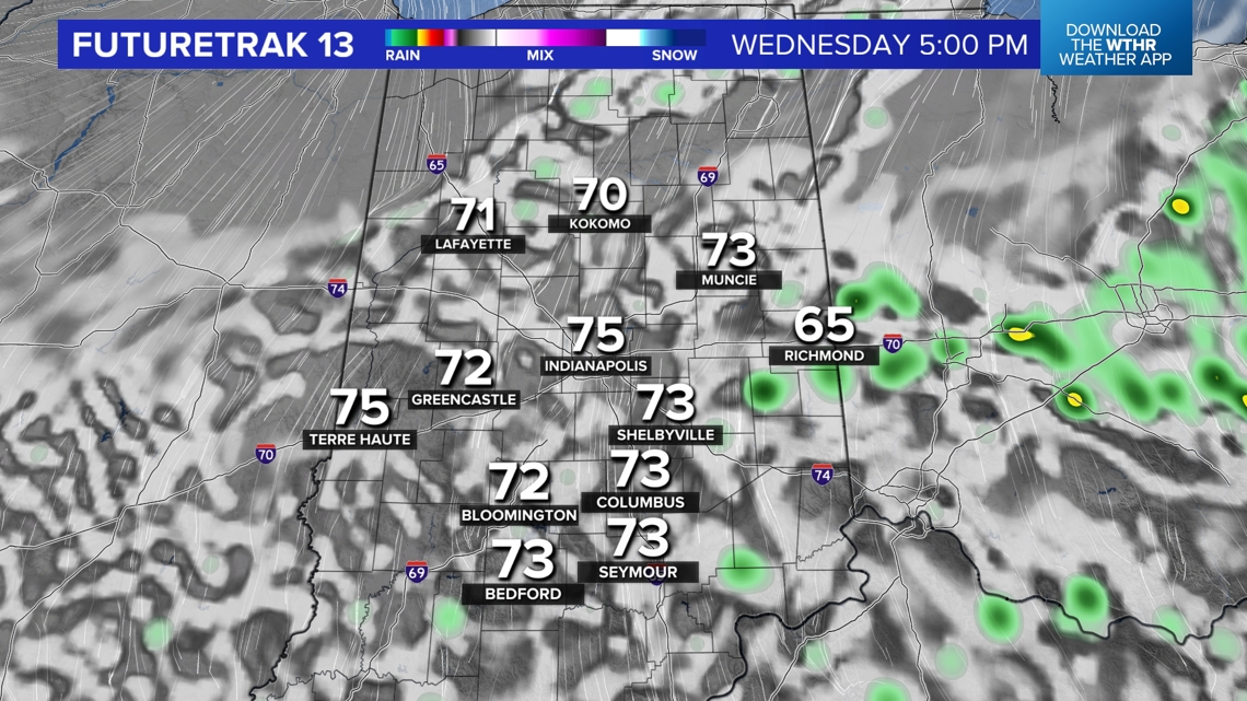
In its wake tomorrow will be a developing northeasterly wind that will drop the Muggy Meter later in the day – and a lot Wednesday night– to possibly allow for some late-day sunshine Wednesday. The unanswered question will be if it will be enough to dry out the track to allow for some laps. Stay tuned.
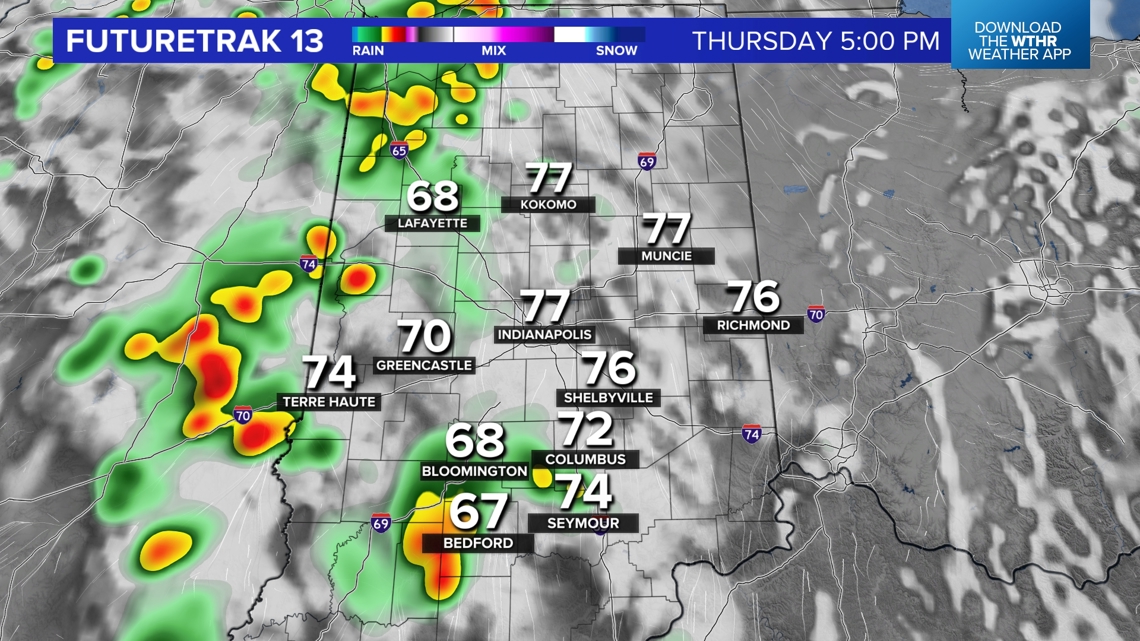
If not later Wednesday, we expect decent lappage at IMS on Thursday with a dry start and likely rain-free radar until later in the day. A scattering of showers and storms develop Thursday afternoon and becomes widespread heading into Friday.


There remains quite a divergence in modeling solutions for the beginning of qualifying weekend. We're currently putting more stock into a quicker departure of the upper low that brings to us Friday and for sinking, warming air to develop. If that solution verifies, only pop-ups would be possible with daytime heating both Saturday and Sunday. Stay tuned for updates.