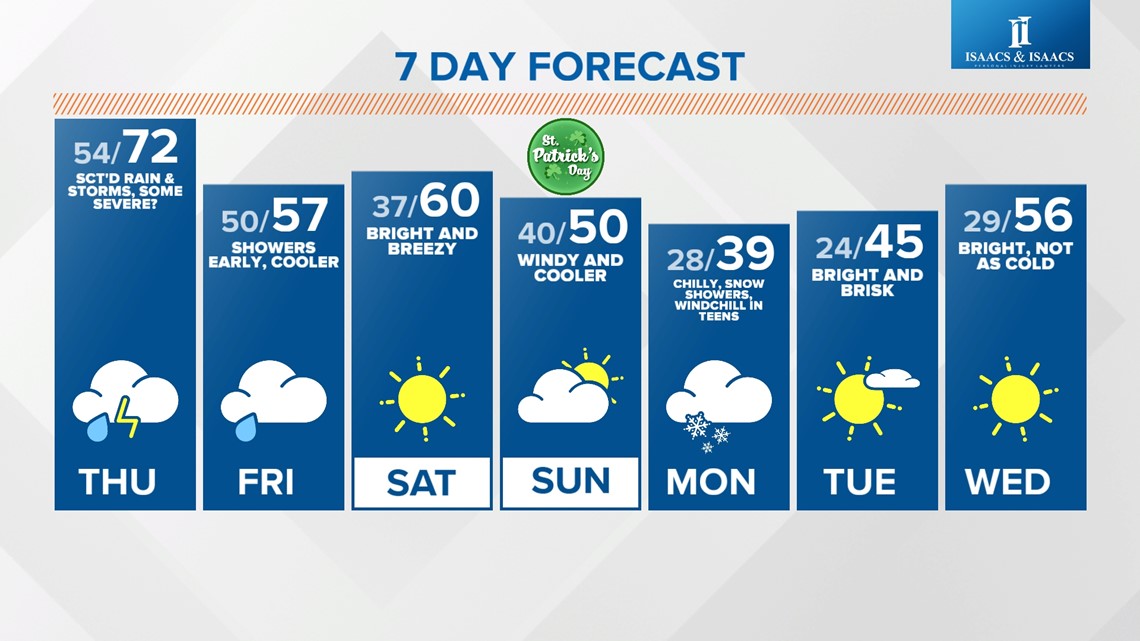
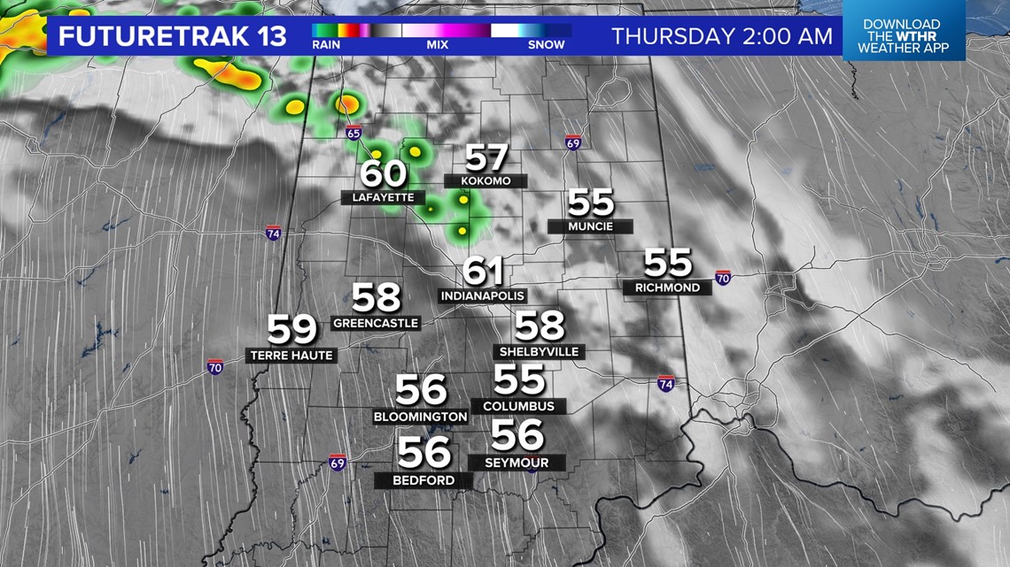
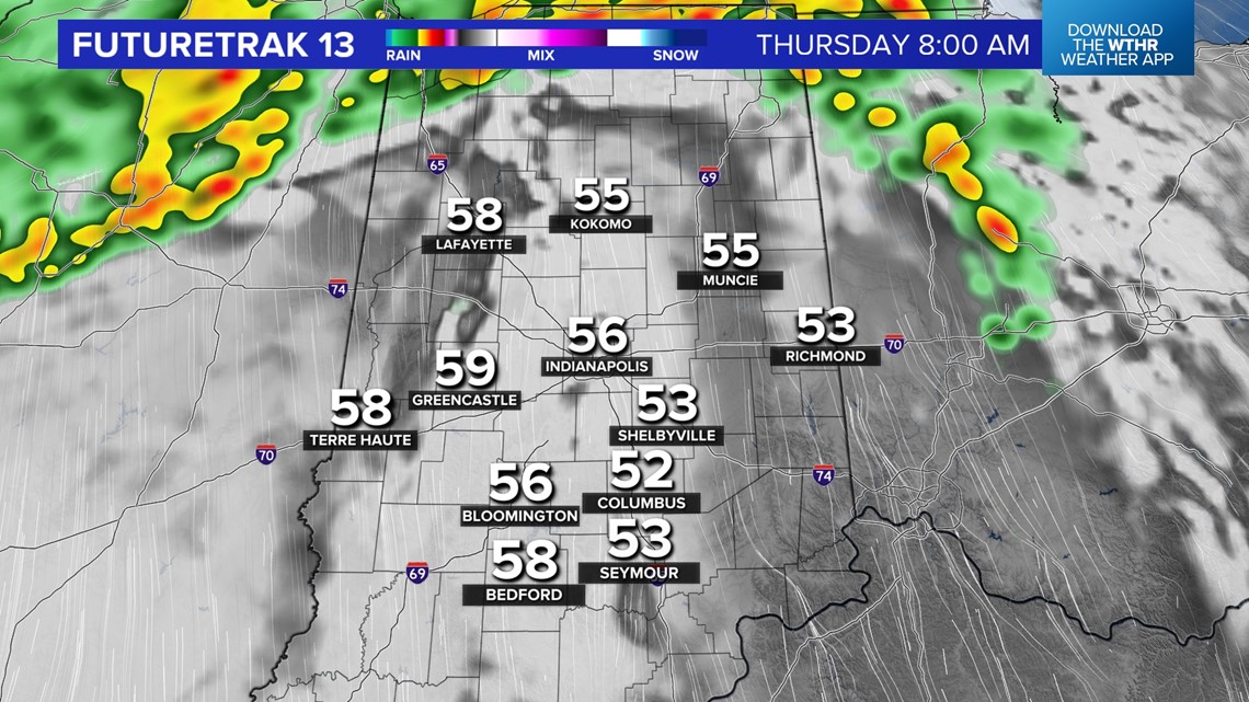
INDIANAPOLIS — It's another May-like day in central Indiana with hazy sunshine and highs in the 70s — a good 20° above average for mid-March. We have plenty of sunshine today, and based on the latest analysis, we should remain rain-free during daylight hours, with the potential of scattered showers and thunderstorms along an advancing warm front overnight into Thursday morning.
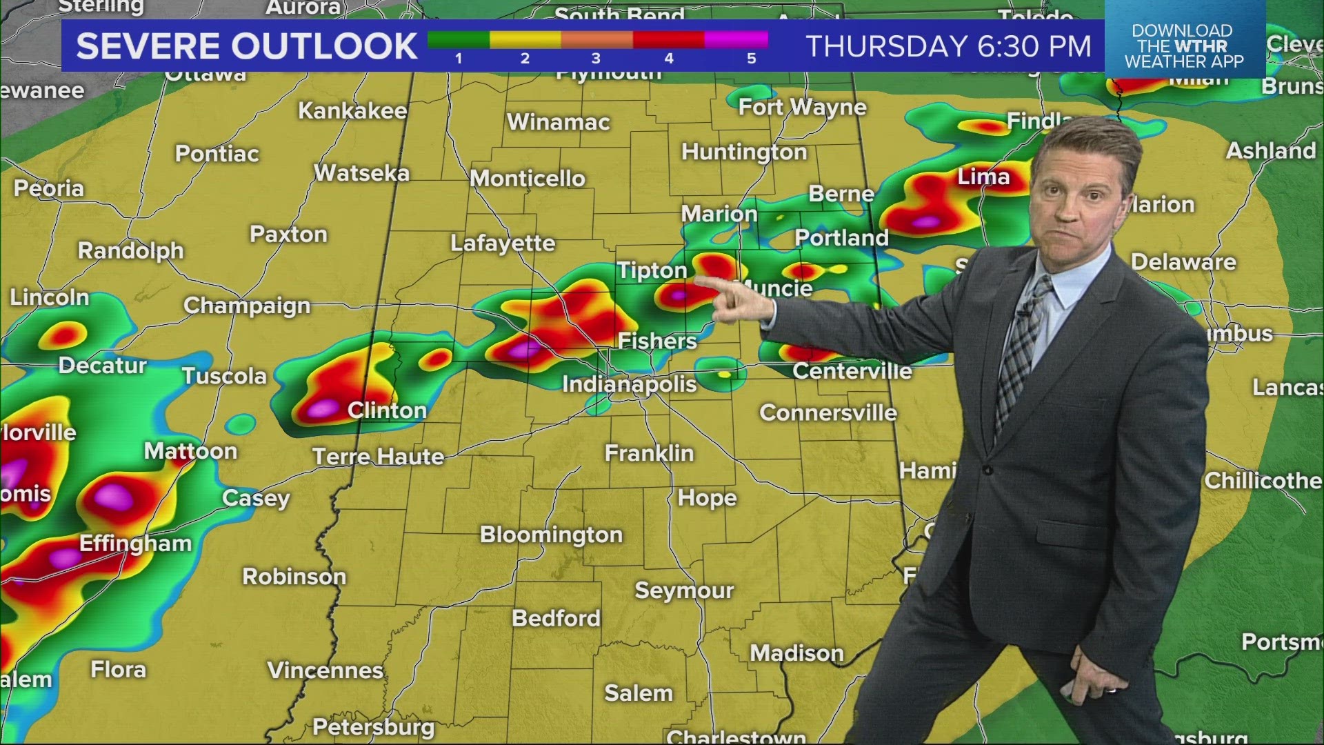
The stronger cells during that time may contain some hail, but the greater chance of storms and/or severe weather would occur much later Thursday into Thursday night. There's a good deal of uncertainty on how much cloud cover will be around tomorrow and its impact on severe potential.


We'll have to see how the atmosphere recovers after morning rain/storms and be on radar watch later in the day, most likely looking into Illinois for storm initiation and watch those storms build eastward into predawn Friday.
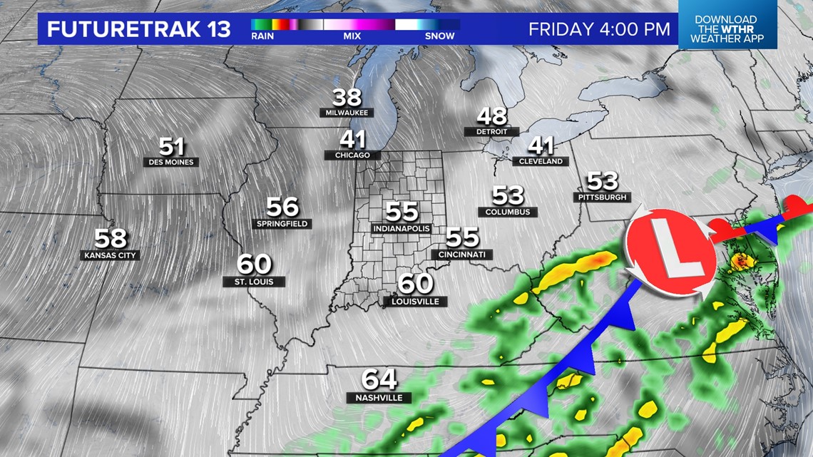
All severe hazards would be possible with any storms Thursday night. Bottom line: it would be a good idea to be Weather Aware Thursday and Thursday night until the cooler air arrives Friday and pushes the storms southward.

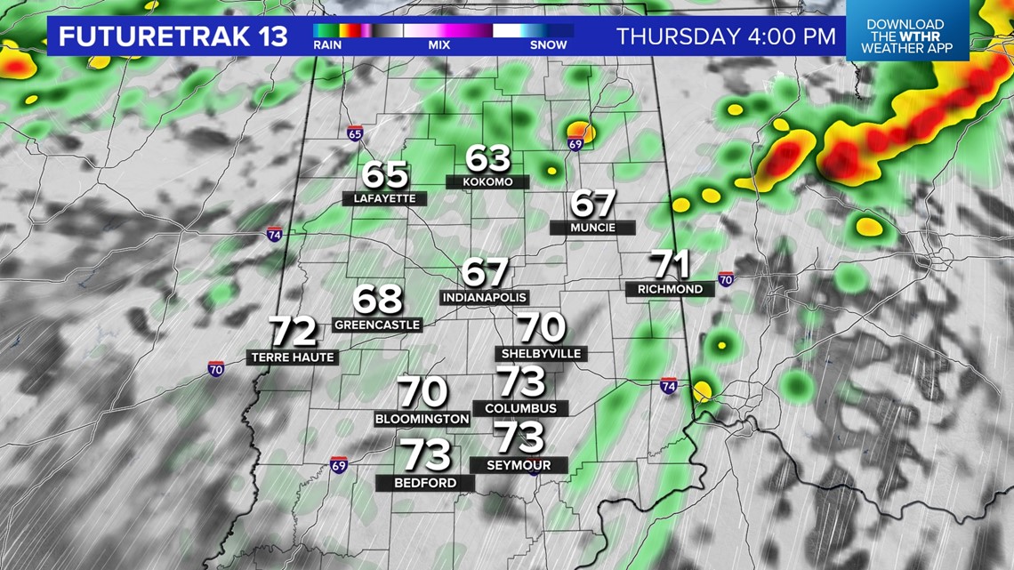

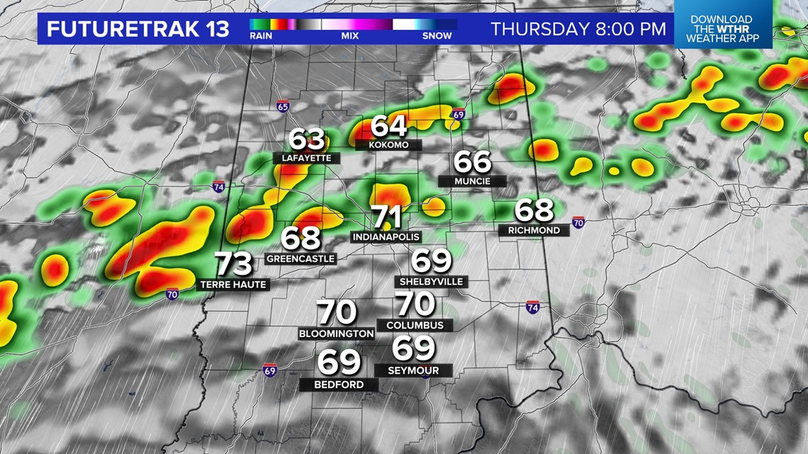

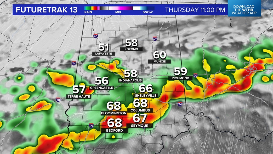
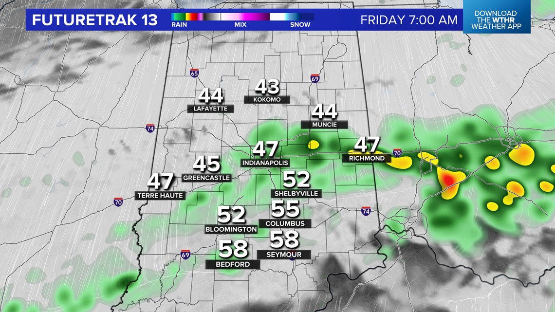
Showers linger around Friday morning before eventually departing before noon Friday. This means those setting up for the St. Patrick's Day parade and/or attending could have some raindrops early before being just cloudy and cool.
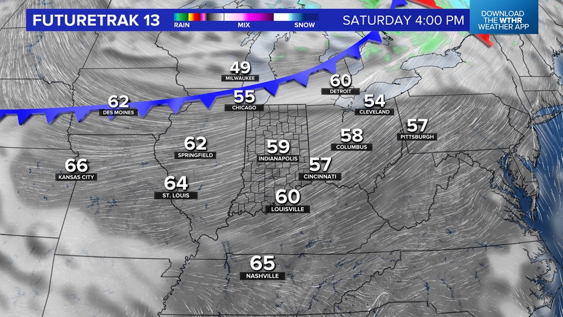
Prepare for a breezy weekend in central Indiana with abundant sunshine Saturday and early Sunday. A much stronger cold front crosses through the state Sunday evening to deliver a rude awakening of winter cold early next week.
We're forecasting wind chills in the teens Monday, highs mainly in the 30s, and wind-whipped flurries/snow showers at times.

