
INDIANA, USA — It keeps getting hotter and more humid day-by-day across Indiana, which may help attract some storms on Sunday. The jet stream is active over the western Great Lakes (northern Illinois, Minnesota, and Wisconsin). This is where we will see more storms fire up through the weekend. Some of the storm clusters will likely push south into the heat of Indiana, bringing Hoosiers some storm chances Sunday.
Tap HERE to track the storms in the north that may hit Indiana later on Sunday.
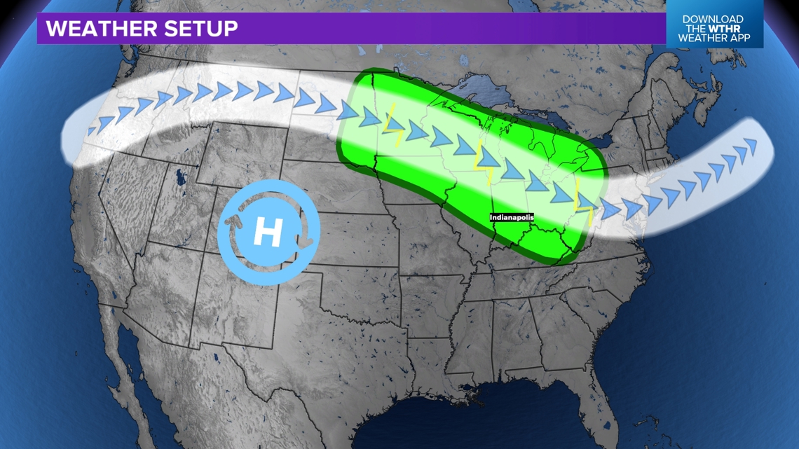
Weather setup
As high pressure builds out to the west, we are watching the stream get closer to Indiana. The green zone highlights the section of the jet stream that flows from the northwest. This area is mostly likely to see scattered showers and storms to develop. Most of them will start next to the jet stream and then push south into areas of heat and humid (including Indiana).
However, as they leave the jet stream the storms eventually will die out thanks to higher pressure. That's where the forecast for Indiana gets trickly. Northern Indiana has the highest chance for storms on Sunday, and parts of next week. The question becomes how far south into central and southern Indiana can the storms go.

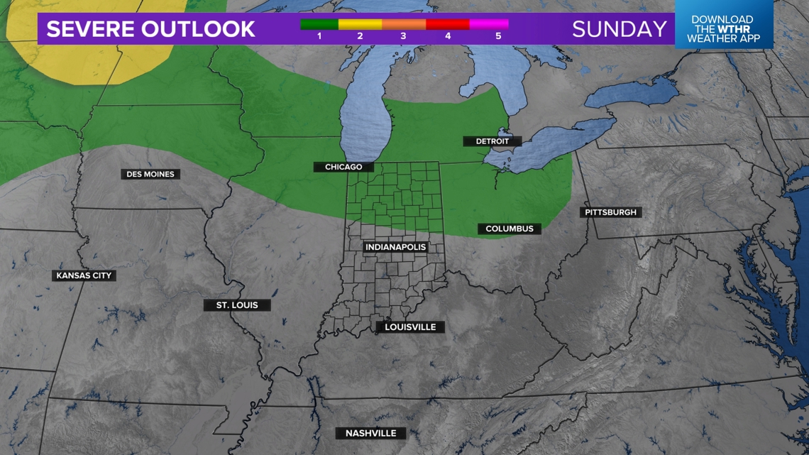
Severe threat Sunday
While more storm chances lie ahead similarly for Tuesday and Wednesday, let's just focus on Sunday's storm chances or Indiana.
The stronger storms are going to be in the northern Plains (yellow). However the green zone highlights the level 1 severe threat. Some storms will push south and east into Indiana Sunday afternoon and evening. They may have some gusty winds and lightning in the strongest cells.

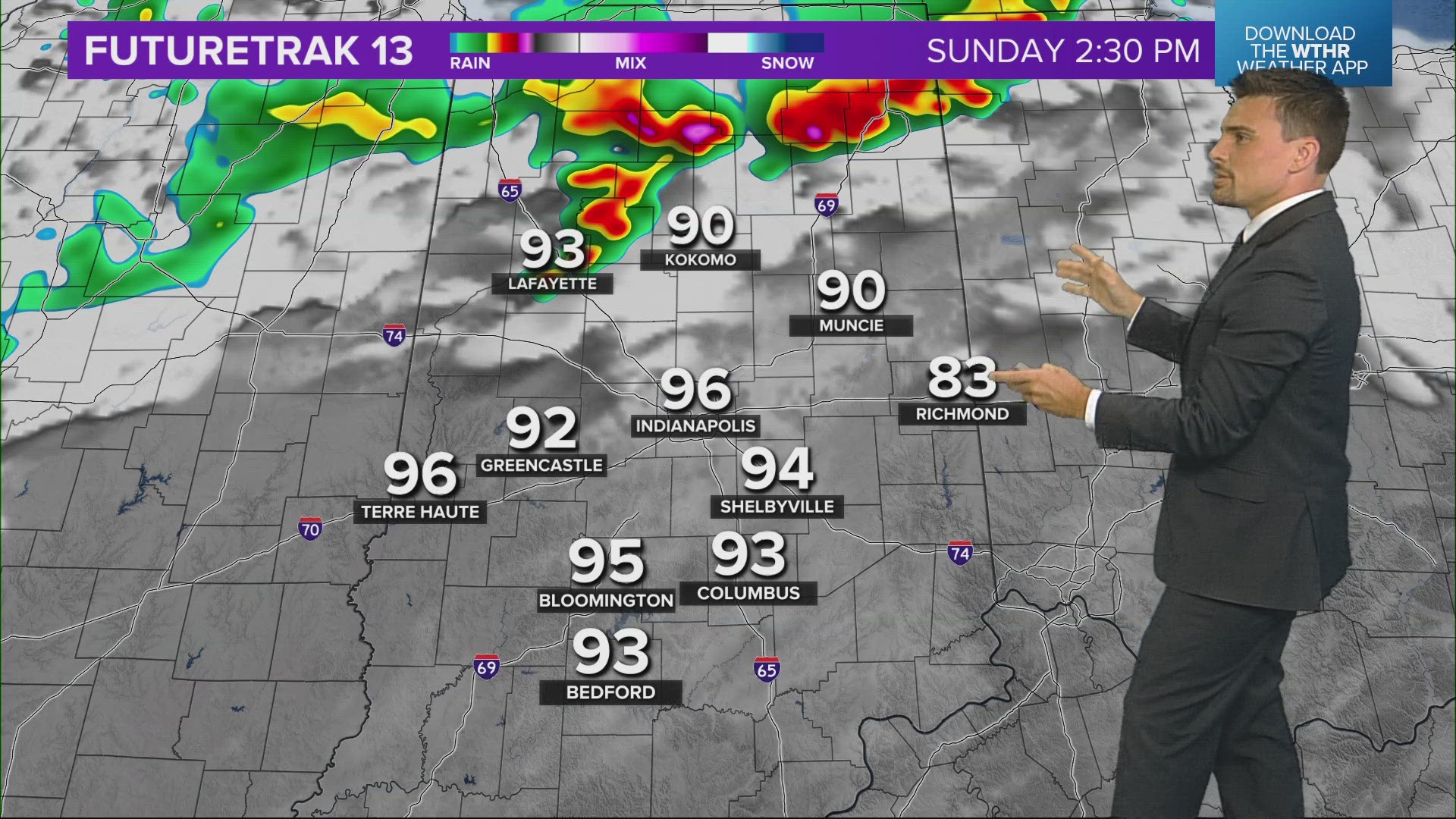
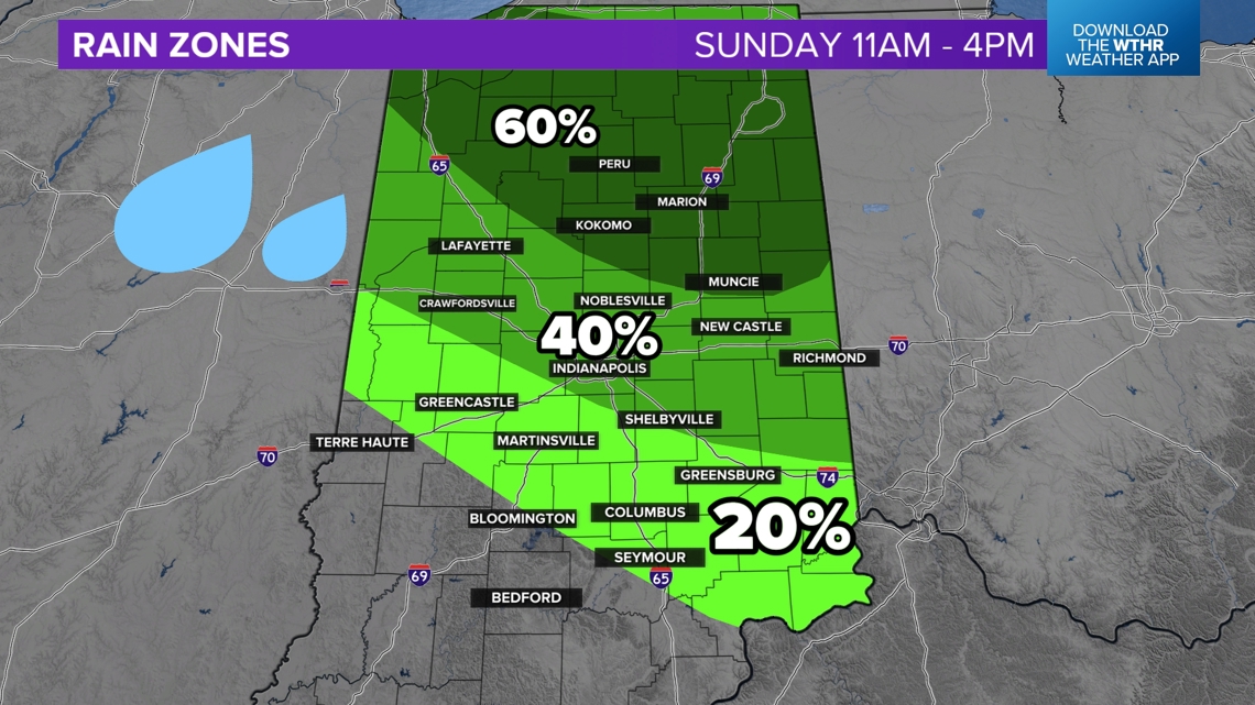
Timing out the rain chances through Sunday
The first potential round of storms will be in the early afternoon. The best chance will be northern and eastern Indiana. There will be higher pressure in southwestern Indiana so the storms will likely try to stay away from going down too far south.

Midday rain chances
The highest rain chances will be north of Indianapolis.

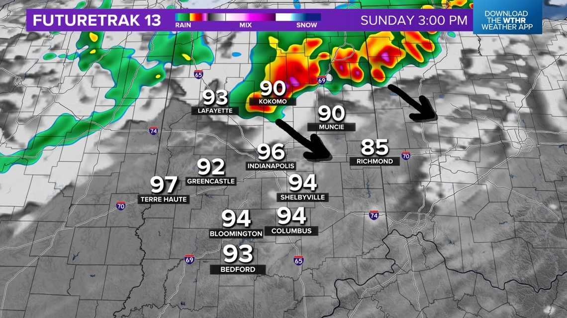
Afternoon/evening rain chances
As the day goes on, more scattered storms are possible with less confidence on positions of storms. However there should still be a higher chance for more storms in northern Indiana. Plus after some storms earlier in the day, leftover boundaries may pop more storms in eastern Indiana.

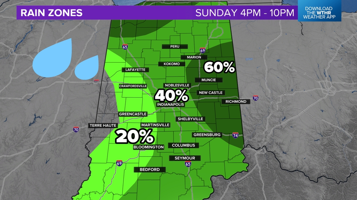
After sunset, a few more scattered showers and storms are possible into the night. These will be isolated. Stay with the 13News weather team as we track storm chances on-and-off Sunday.
— 13News Meteorologist Matt Standridge