INDIANA, USA — Expect big weather swings every few days or so. June has started very humid thanks to a strong warm front hitting Indiana. The muggy weather should last for the first half of this week. Highs will be in the 80s with sunshine and a few pop-up showers and storms. A cold front with rain should arrive Wednesday into Thursday, wiping out the humidity again.
Tap HERE to track the incoming cooler air from Canada with our interactive weather maps.
After the first weekend of June brought muggy, cloudy skies, expect a big warm-up the next few days. Southerly winds and sunshine should help us climb into the 80s.
Weather setup
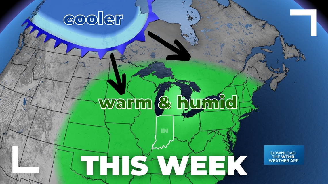
Higher pressure moving in from the south will sit over Indiana and the Great Lakes for the next few days (Monday, Tuesday, and Wednesday). Humidity will be high, raising our heat index temperatures a bit this week.


We are watching a decent cold front collect some cooler air in western Canada. It should start diving southeast into the U.S. by Wednesday. We will watch scattered storm chances increase ahead of the front. Once it passes through, the rest of the week will be cooler, less humid, with on-and-off clouds. Isolated shower chances may linger closer to the Great Lakes in northern Indiana.
Rain chances ahead:
- Monday: 10% rain chance
- Tuesday: 30-40% rain chance
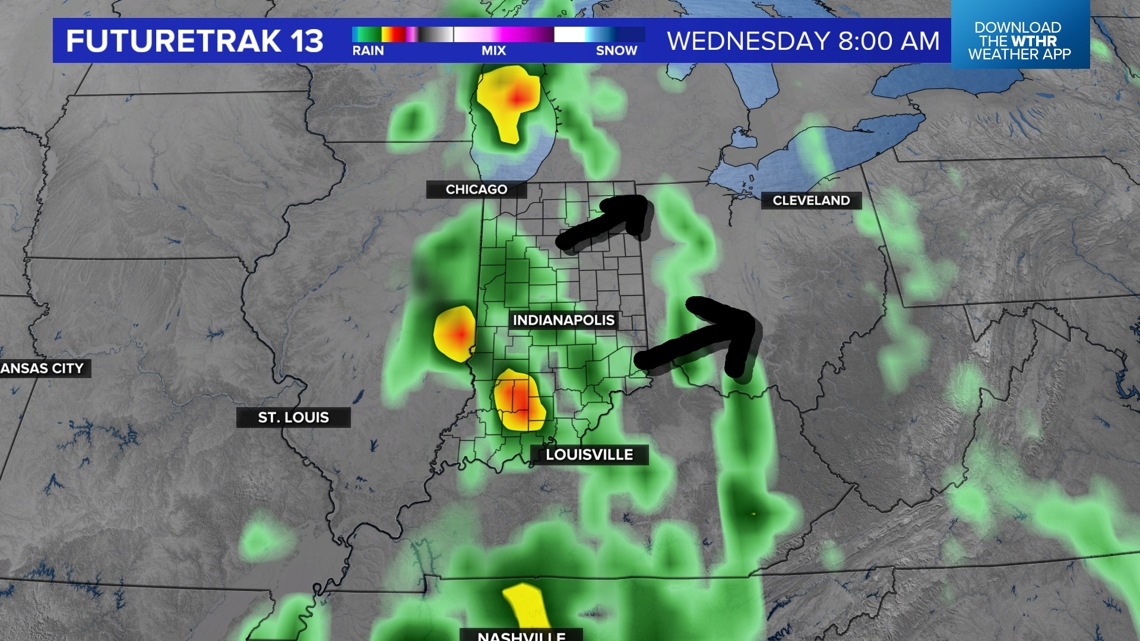
- Wednesday: 90% rain chance (some storms too)


We're still working on the timing of rain chances mid-week. Wednesday will be the primary day for rain and storms. For the latest on the upcoming rain, tap HERE for an updated forecast.
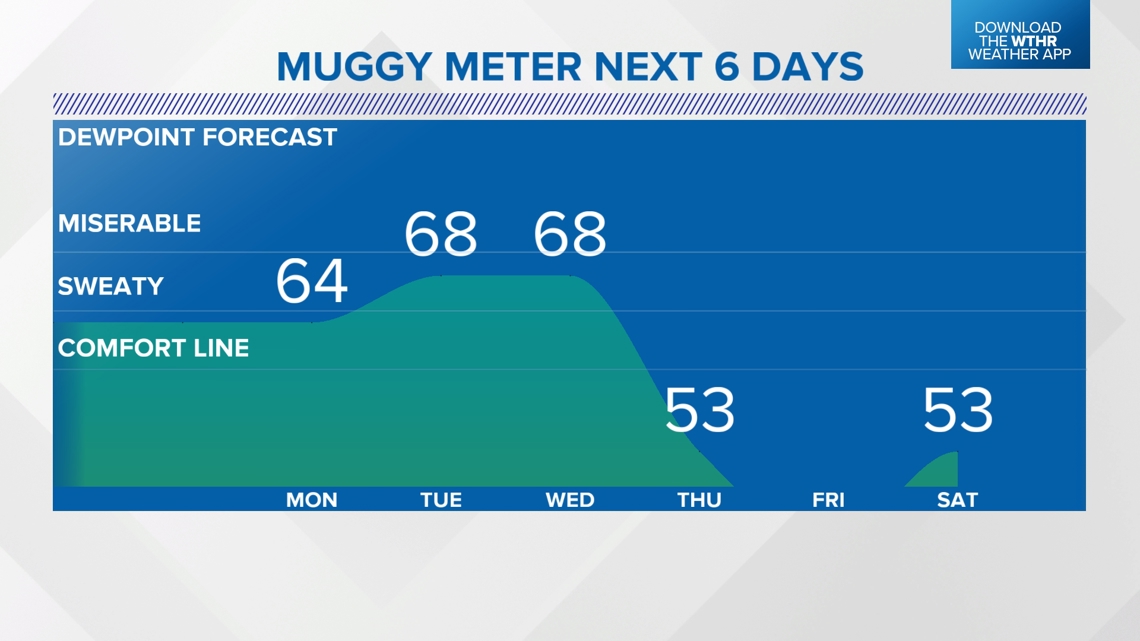
Tracking the higher humidity, and then lack of it...
South winds should keep muggy air over Indiana for the first half of the week. Then a big drop is likely once the cold front fully pushes through the Hoosier state.


— 13News Meteorologist Matt Standridge

