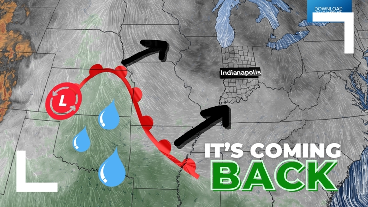
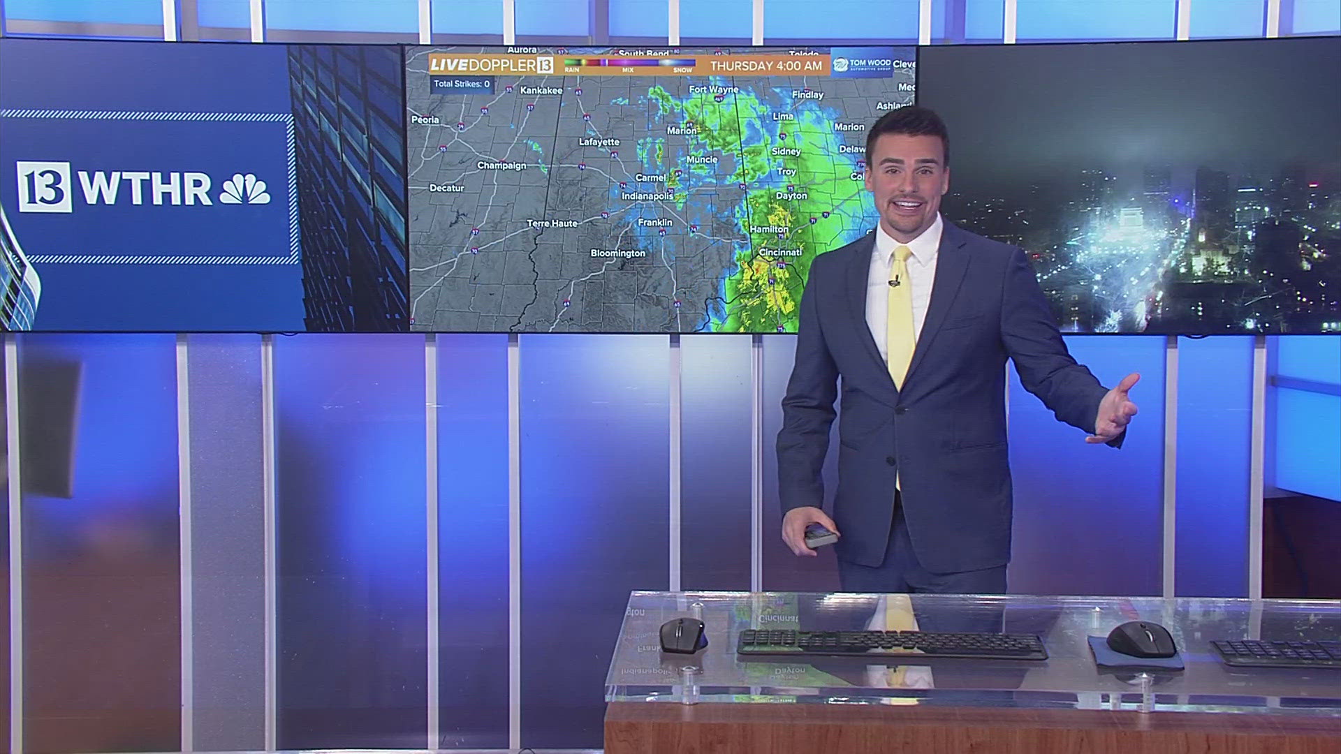
INDIANA, USA — Well, it was nice while it lasted, but humidity is coming back bigtime this weekend and next week to Indiana.
The humidity was zapped away for the last week of May with some light north winds, but those will not last much longer. South winds will bring more mugginess northward this weekend and next week, plus some rain chances.
Tap HERE to track the higher temperatures and humidity with our interactive weather maps.
Cooler air out...
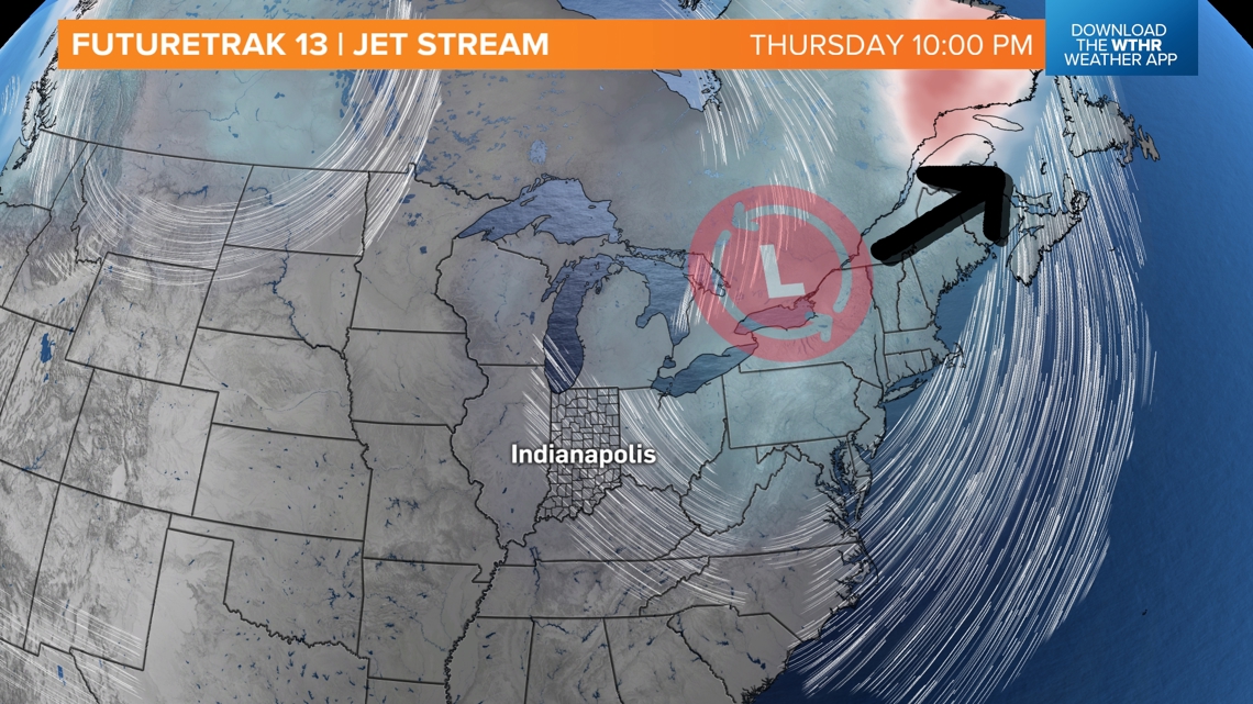
An area of cooler, low pressure has been sitting over the Great Lakes the past few days. Upper-level lows like these help to keep lower temperatures and lower humidity in place this time of year. We are expecting it to hit Indiana Thursday night into Friday morning.
That will allow southerly winds to return and the humidity to spike this weekend.

Humidity back in...
A warm front with muggy air is sitting over the central Plains. It is also sparking scattered rain and storms. This front will arrive in Indiana by Saturday, bringing us rain chances.

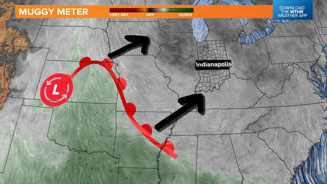
As it comes in, rain chances will increase Saturday. Severe weather is not expected because the jet stream will not be very supportive, but light rain mixed with a few downpours and rumbles of thunder will be possible.

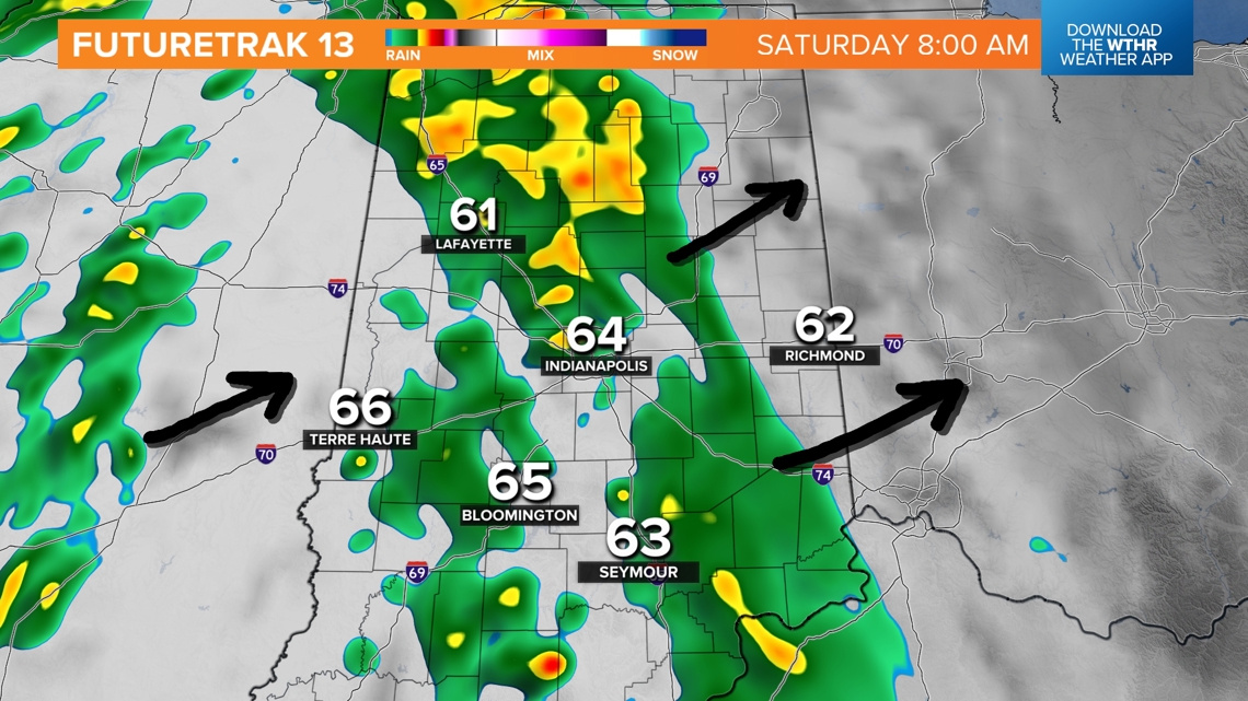
The rain shouldn't amount to a lot of water for Indiana on Saturday. It won't rain the whole time, and many times, the rain will be light. Right now, we are expecting 0.1-0.3" of rainfall — just enough to get everything wet.
Tracking the humidity day-by-day
The first hit of humidity will be Saturday. Another push of higher dew points will arrive next week. This round will be more impressive and will also bring scattered thunderstorms and rain for much of the week.

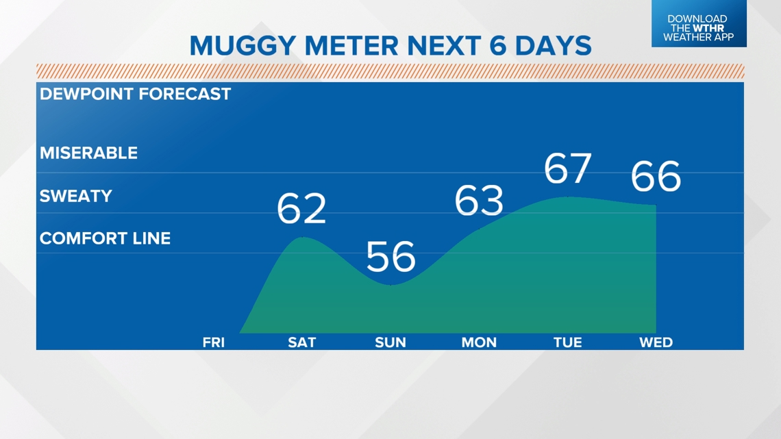
The highest chances for rain and storms next week looks to be Monday and Wednesday; however, raindrops are possible almost every day.
Check back for updates on the timing of the rain and possible severe weather.


