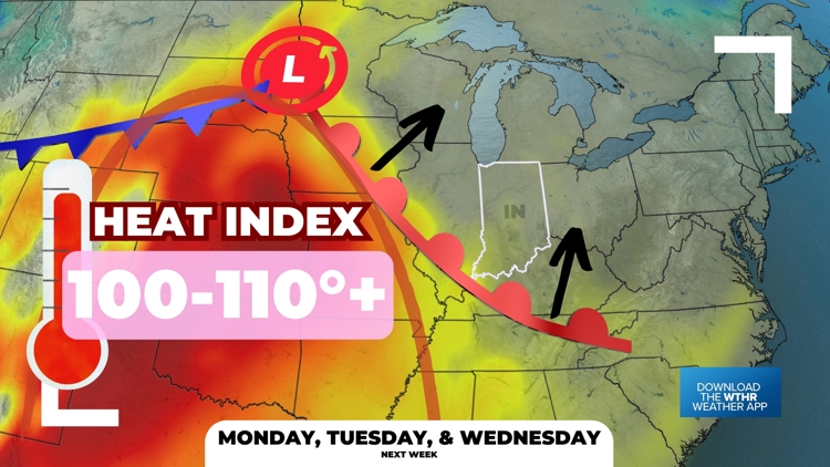
INDIANA, USA — Get ready for some heat. August hasn't been so bad overall across Indiana. We've had some cooler weather and rain chances at times. However, a heat dome is moving in for the final week of the month. Temperatures will spike into the 90s, and heat index values are likely to top 100 degrees starting next week.
Tap HERE to track the temperatures and heat moving in with our interactive weather maps.
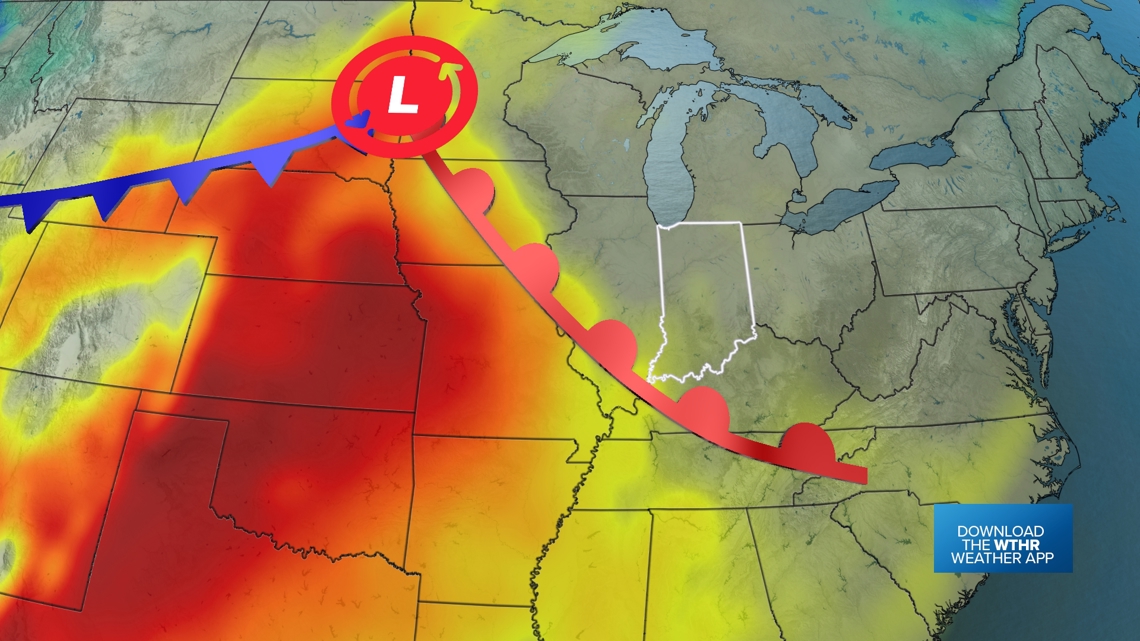
A powerful warm front is pushing north with hot temperatures and high humidity. Some of the hottest weather of the week is coming for Monday, Tuesday and Wednesday (Aug. 26-28). We should get a cool front later in the week to help knock out some of the heat. We are not sure when it exactly arrives.
Plus with the high heat, there may be a stray pop-up downpour with gusty winds this weekend and next weekend. Even though we should have higher pressure, the heat may still be able to pop-up a cell or two. Something to watch...
Tracking a warm front
We've had fall weather for a few days, but summer heat comes with this next warm front.

Afternoon highs are going to creep up day-by-day:
- Saturday: upper 80s / low 90s
- Sunday: low 90s
- Monday: mid-90s
- Tuesday: mid-90s
- Wednesday: low 90s
But as the old dad saying goes, "It's not the heat that gets you — it's the humidity."

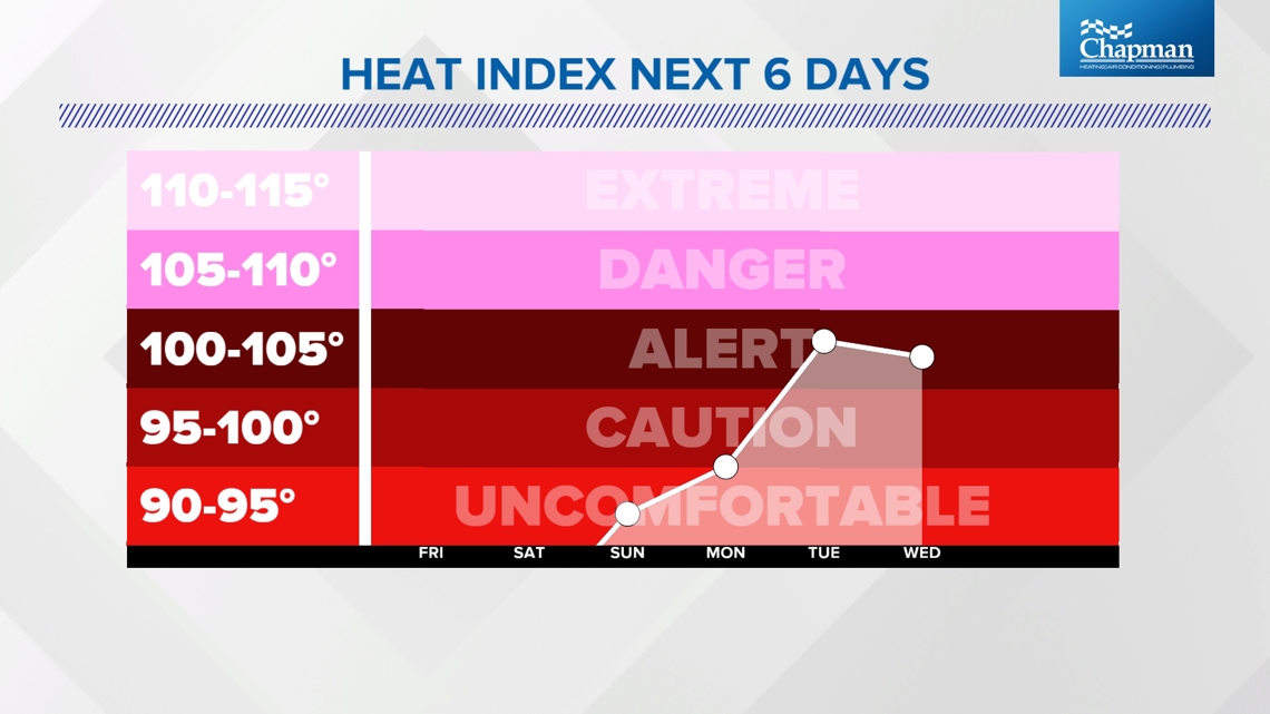
The hottest "feels like" temperatures will likely be Tuesday and Wednesday.
Big pattern switch
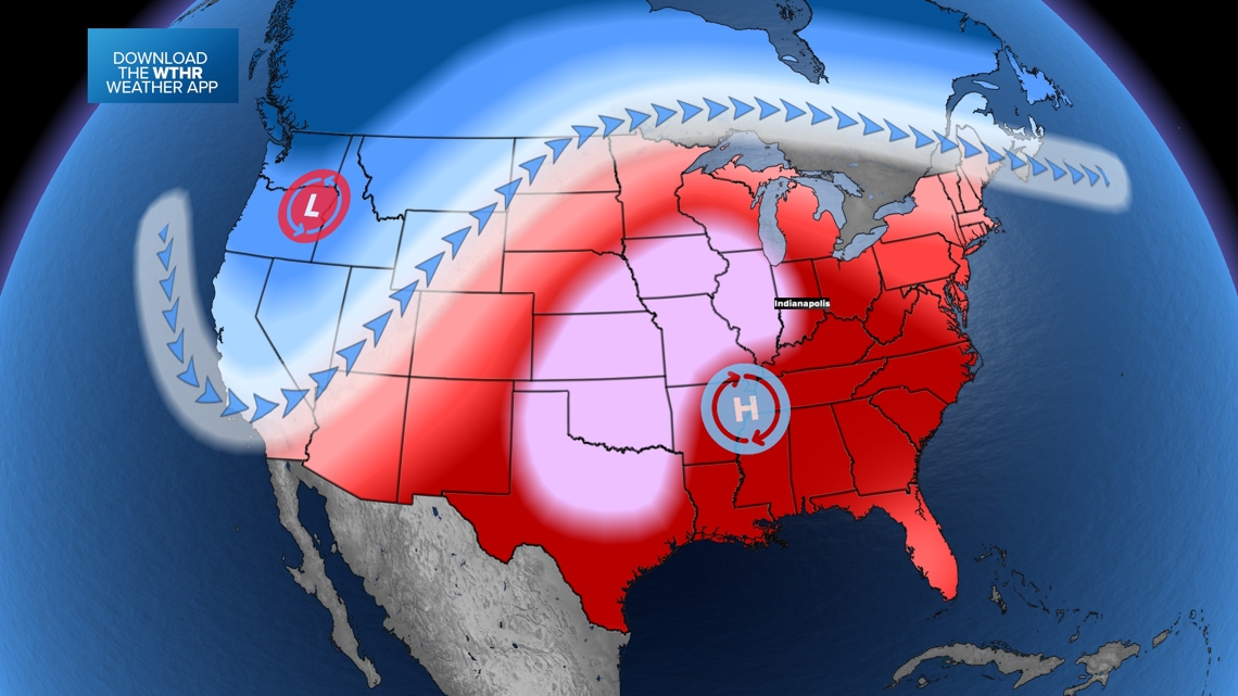
After the West was baking, the East stayed cooler, the pattern is flipping. The West is about to cool down, while the East and central U.S. gets a burst of heat. The heat dome will be back in a big way.

