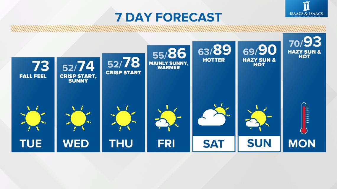
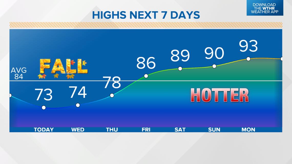
INDIANAPOLIS — The potential of a 40-degree temperature swing is in the forecast from lows in the 50s over the next few days to highs in the 90s this weekend.


Aug'tober in Indiana for the next few days
A cool, Canadian air mass will continue to influence our weather for the next few days, keeping skies clear and temperatures below average.
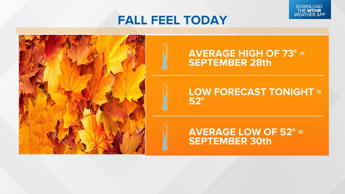
- Today's high, in the low 70s, is the average high for Sept. 28.
- The forecast low tomorrow morning of 52 degrees is the average low for Sept. 30.
- That will be the coolest morning since June 11.

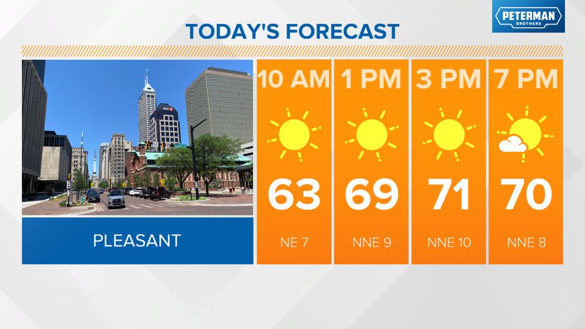

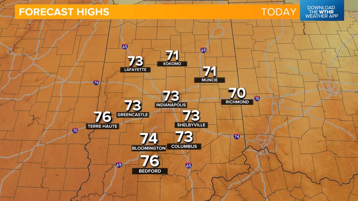


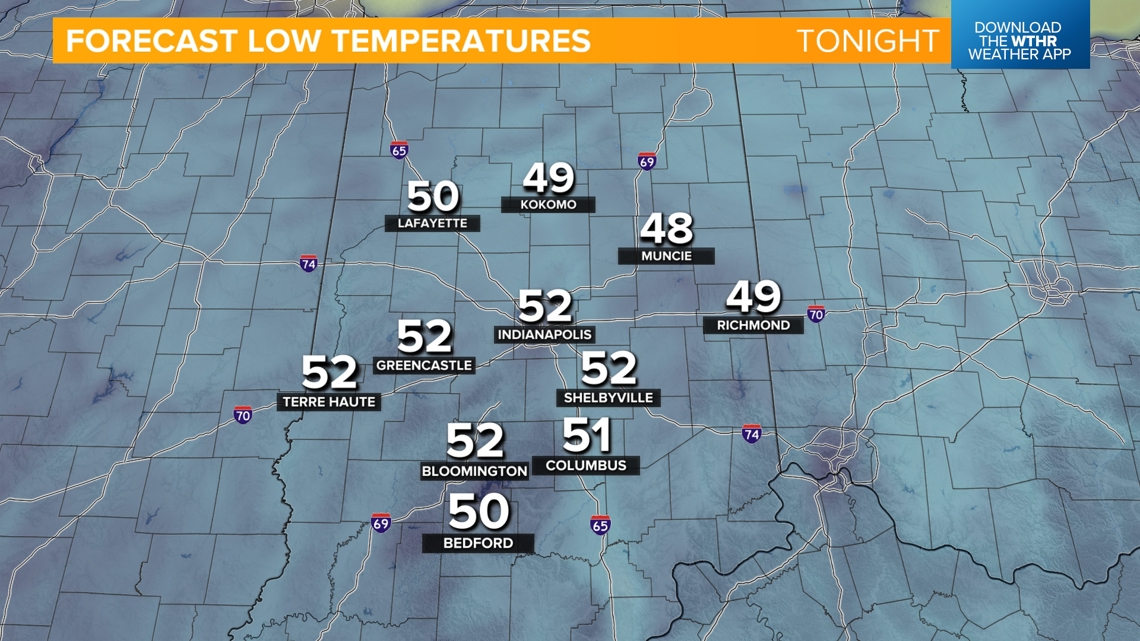
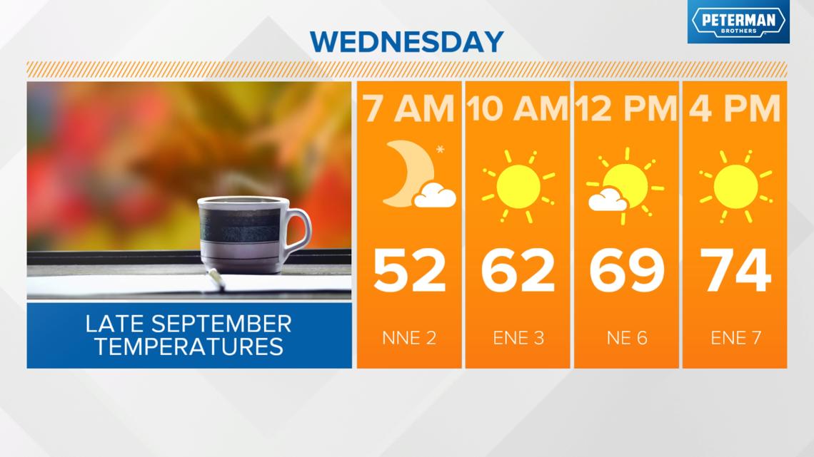
Tomorrow will be a nearly copy-and-paste forecast of today with highs in the low to mid-70s with lows again in the low 50s Wednesday night into Thursday morning.

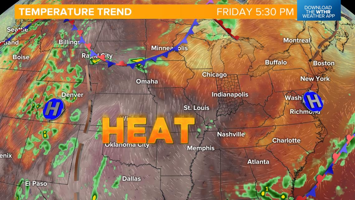
What is responsible for flipping the heat switch back on?
This pattern will begin to break down to our west on Thursday as heat builds and begins to push east. We'll still be unseasonably cool with highs in the upper 70s Thursday afternoon, then back into the mid-80s by Friday.


More summer-like weather this weekend and beyond
- Temperatures jump from near-average Friday to unseasonably warm this weekend and into early next week
- A few 90+ degree days are possible in the extended forecast
- Little to no rain chances

