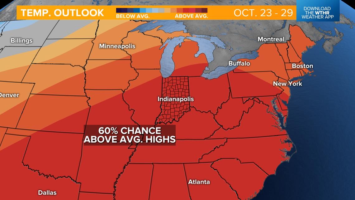
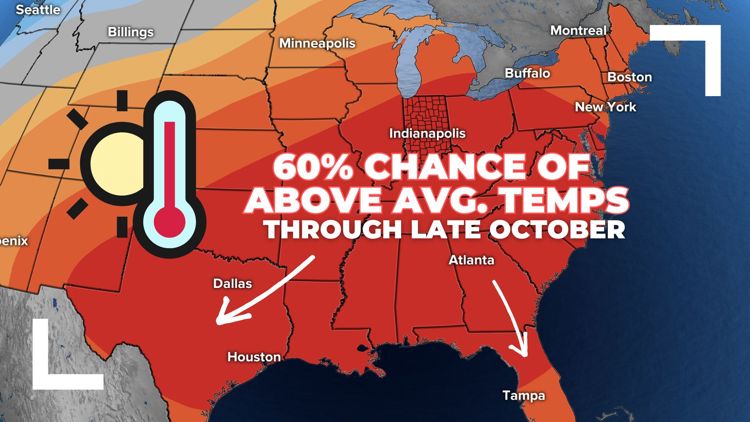
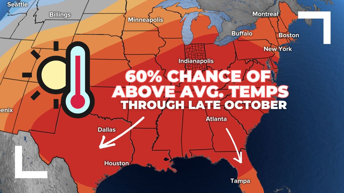
INDIANAPOLIS — Highs in the mid-50s today will be the coolest in the extended forecast by far. Starting this weekend, above-average temperatures are likely through late October.

TODAY'S FORECAST:
- Mix of sun and clouds as lake-enhanced cloud cover drifts across the state
- Temperatures remain well below average with highs only in the mid-50s

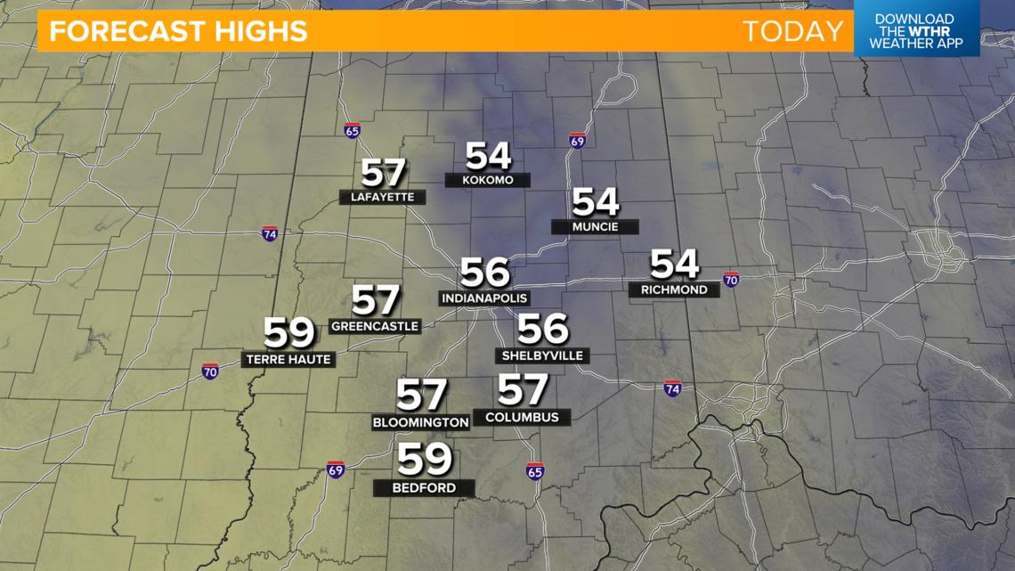
Another risk of frost overnight into Thursday morning
The coldest morning this week will likely be tomorrow, with lows falling to the freezing mark across central Indiana and widespread frost/freeze possible. Skies clear out tomorrow, bringing back plenty of sunshine. This, mixed with a wind that will shift out of the south, will kick off a slight warming trend with highs back into the low 60s in the afternoon.

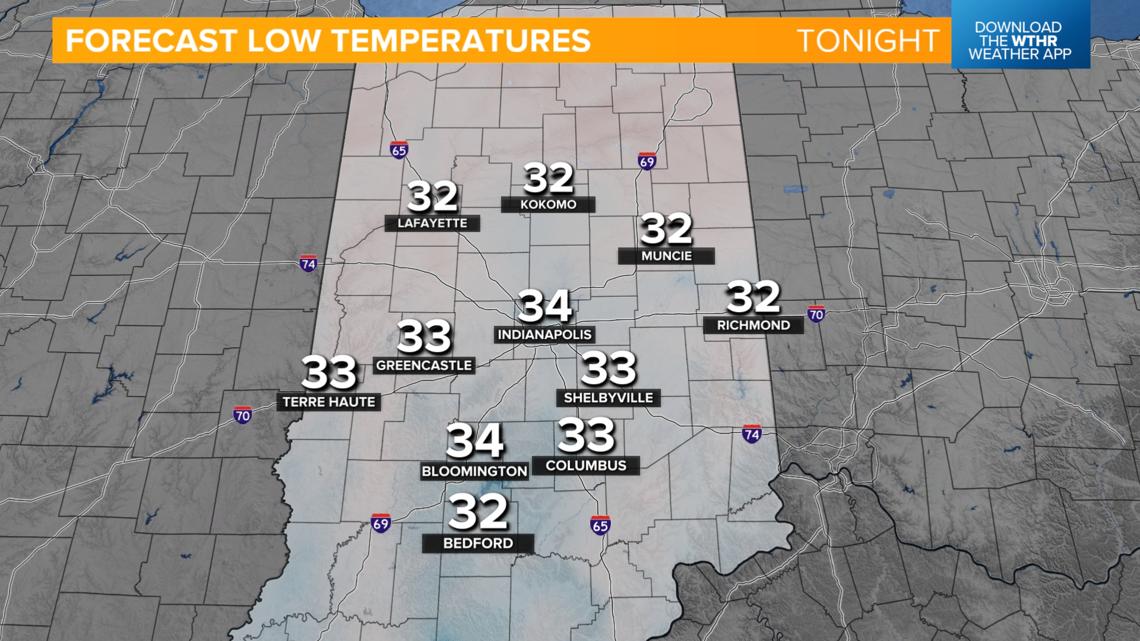
After one more potentially frosty morning, with lows in the mid to upper 30s, temperatures will be more seasonal starting Friday with highs in the upper 60s.

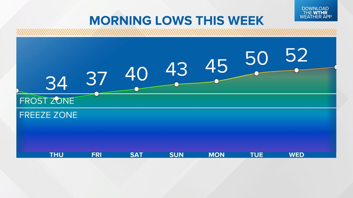
When will temperatures climb back above average?
The warming trend continues into the weekend with highs back in the low 70s. Above-average temperatures look to stick around into next week as well, with highs in the low to mid-70s.

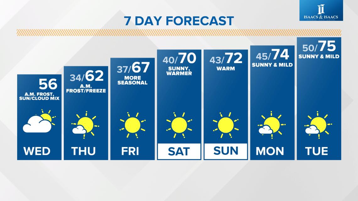
Keeping in mind that the average for this time of year is in the mid-60s (and will fall into the low 60s next week), the long-range forecast is calling for a 60% chance of above-average temperatures through Oct. 29.

