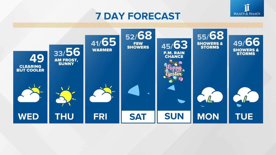
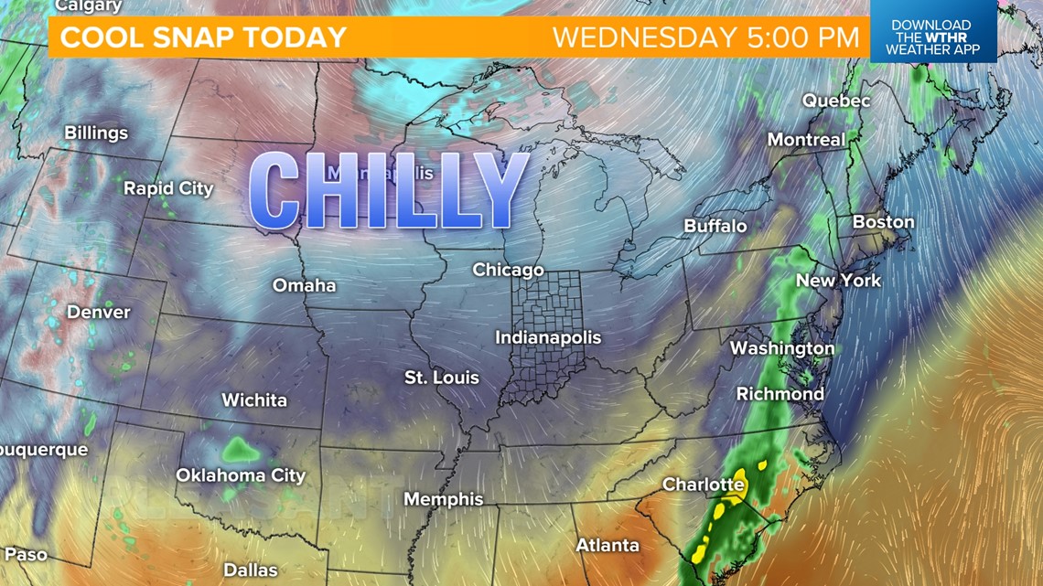
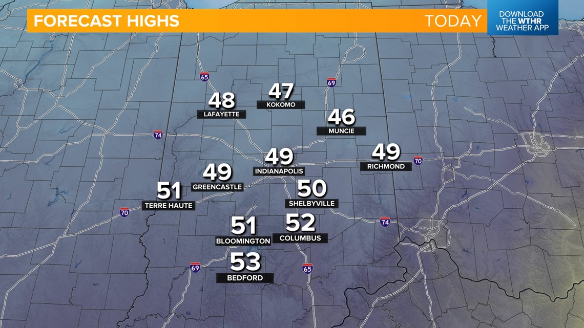
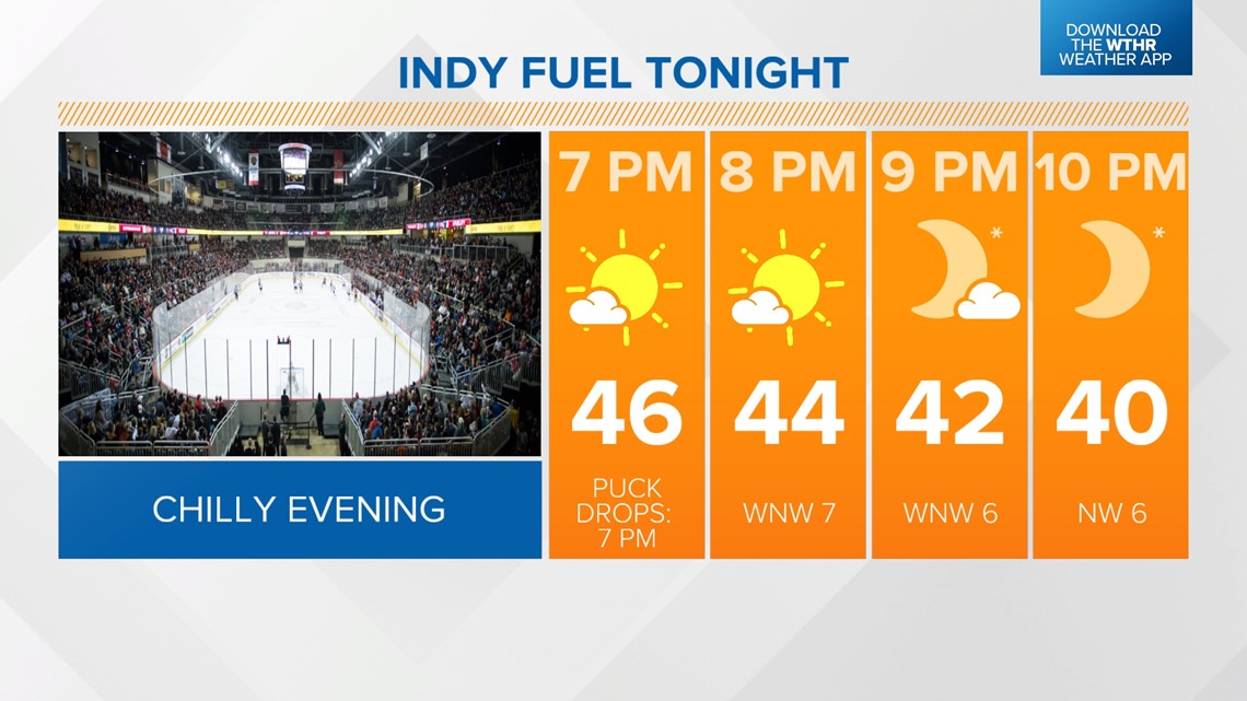
INDIANAPOLIS — Today will be the coolest day in the extended forecast as central Indiana sits on the back side of a cold front. Winds will ease today as skies gradually clear, but it'll stay below average with highs only in the upper 40s. We'll cool through the 40s this evening, so bring a jacket if your plans take you to the Indy Fuel game.



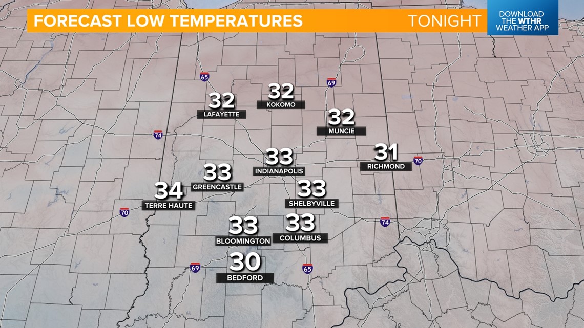
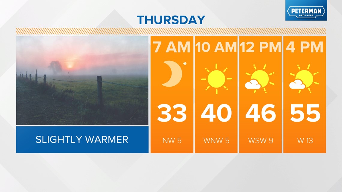
Temperatures start to trend upward starting tomorrow after one more cool morning. Areas of frost will be possible in outlying areas with lows near freezing. Winds will shift back out of the south by tomorrow afternoon helping temperatures climb into the mid-50s.


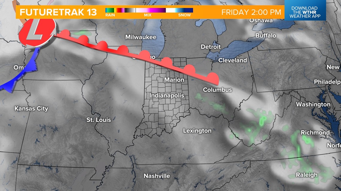
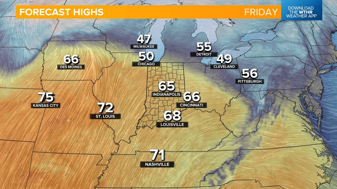
A warm front will then move through on Friday, pushing high temperatures into the mid-60s. Temperatures will then hold steady slightly above average with highs in the 60s through early next week.


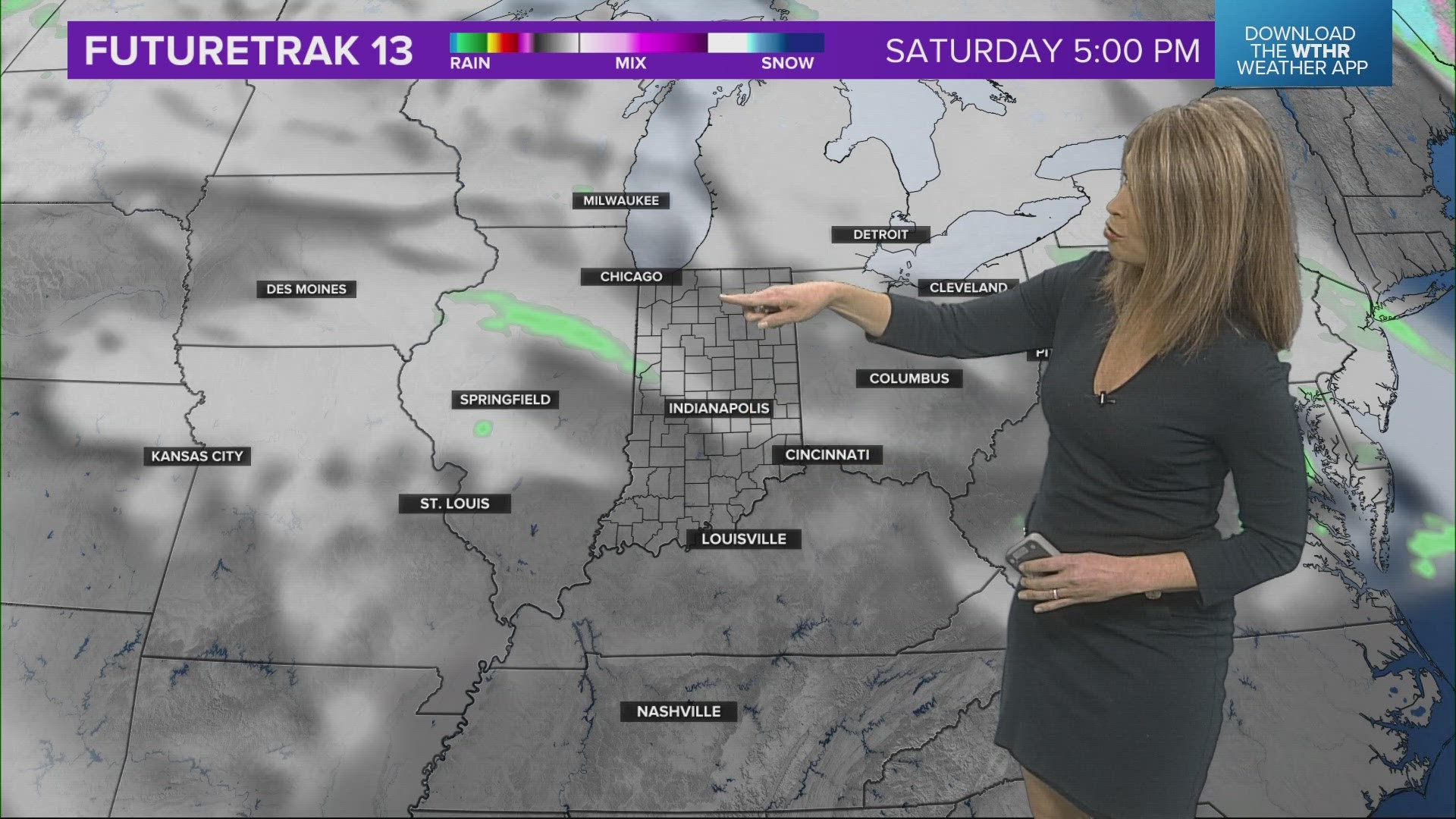
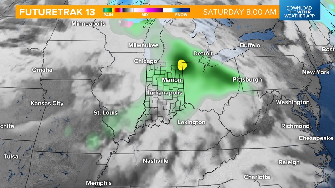
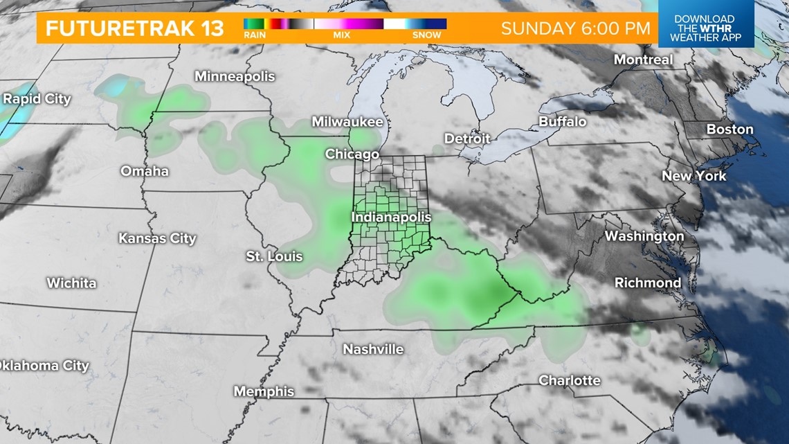
We're watching a few storm systems that will bring a chance of scattered rain, especially during the first part of the day, on Saturday. Easter Sunday looks mainly dry to start the day with another round of rain possible in the late afternoon and evening.


The active pattern continues through the first part of next week with rain and storm chances for Monday and Tuesday.

