INDIANAPOLIS — As anticipated, it was another foggy and/or cloudy morning for most. That fog layer and stratocumulus cloud deck continues to dissipate from southwest-to-northeast this afternoon for a much brighter finish to the day.
Please note: It will take longer for this clearing to occur northeast of Indianapolis, and that means places like Muncie, Marion, Peru will be more gray for a bit.
But current thinking is that most areas will be mainly clear for kickoff of Operation Football games this evening. First quarter temperatures will be in the 70s and cool into the 60s by the fourth quarter.
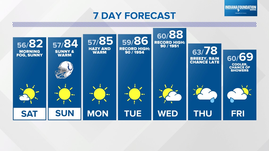
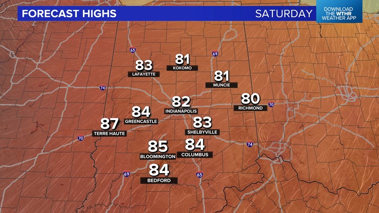
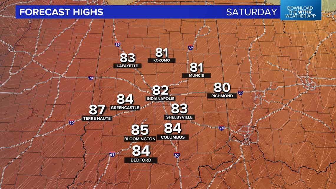
We don't expect the fog/stratus cloud layer to be as widespread tonight, but there will be patchy dense fog early Saturday morning. Otherwise, no big changes to our weekend forecast, which still calls for sunshine, east-southeast wind and unseasonably warm highs in the 80s.


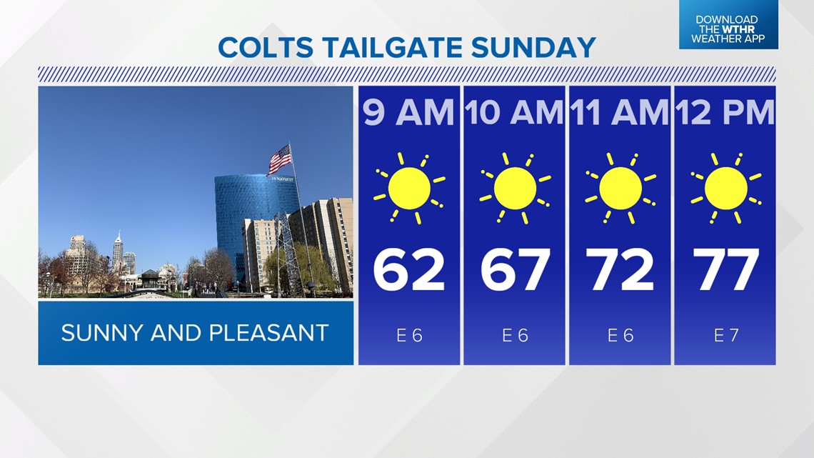

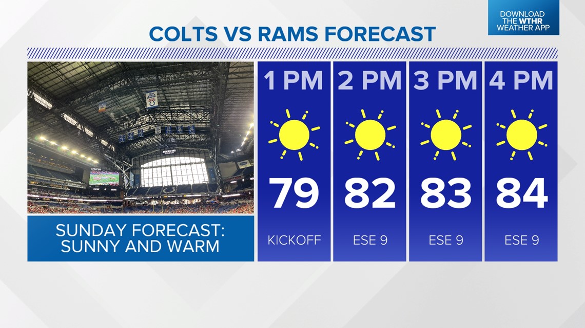
It should be ideal conditions for Colts tailgating Sunday morning into midday, with temperatures in the lower 60s at 9 a.m. to mid-70s by midday. The roof will likely be closed, based on historical closures for sun and 80s, with warm afternoon temperatures in the mid-80s.

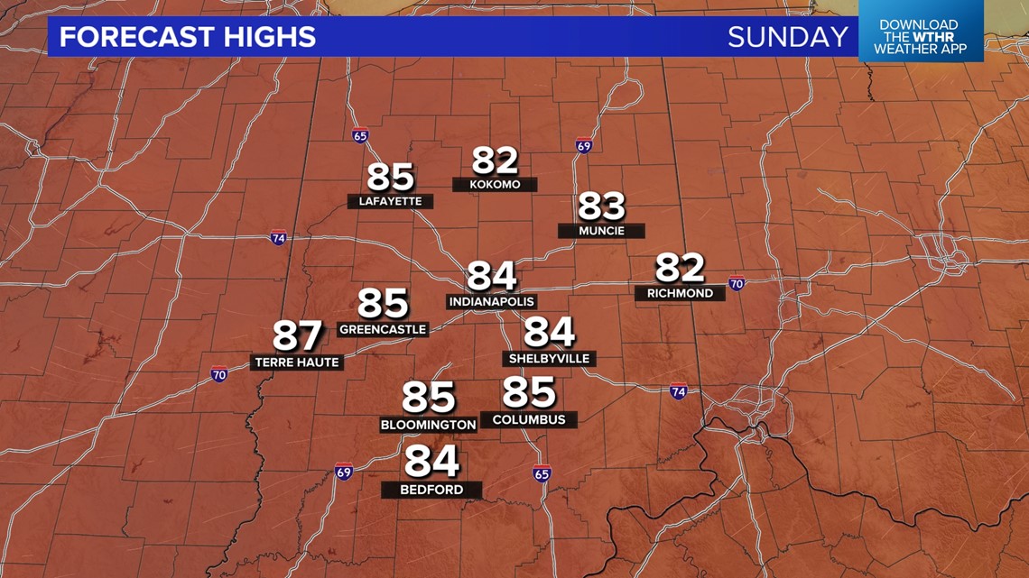
The sunny streak and warm start for October continues into the middle of next week and appears to peak Tuesday/Wednesday, possibly in the upper 80s.

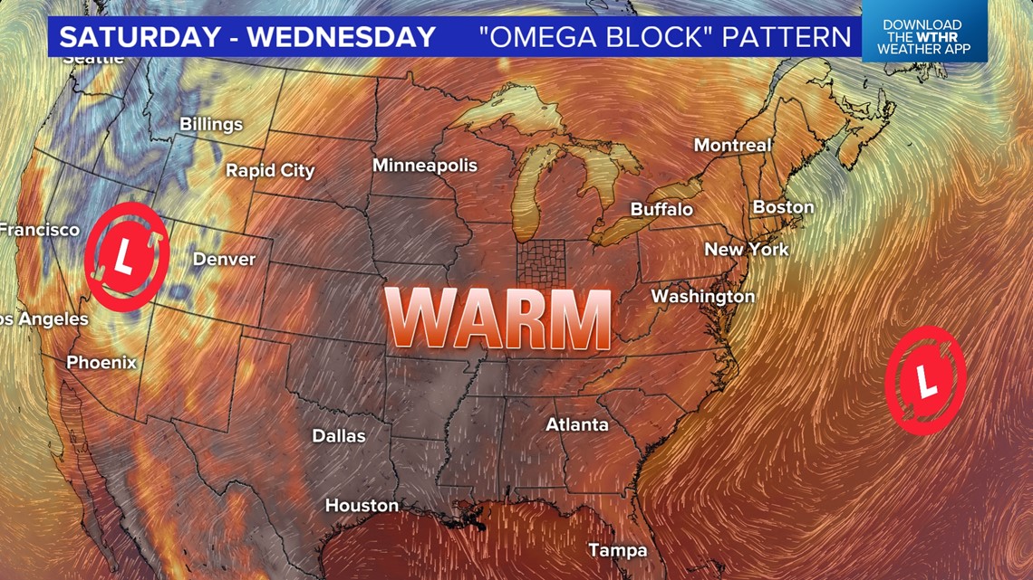

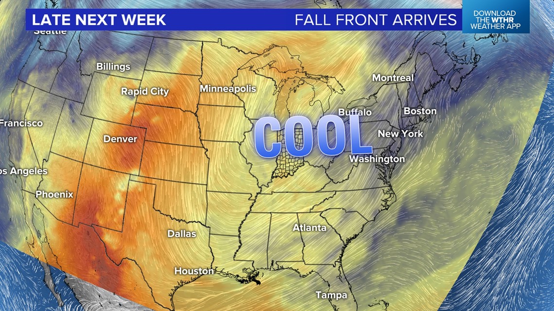
Most model guidance continues to show a pattern shift late next week, with what could be our first autumn cold front arriving around Thursday into Friday. If this verifies, it would bring an abrupt end to the summer warmth and lead to much cooler air next weekend. Stay tuned.

