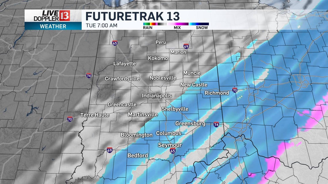
Round 1 has produced a large area of 2 to nearly 4 inches of snow. This first round will diminish around 2am. There is concern with round 2 that is forecast to arrive Monday afternoon and evening and last through early Tuesday. The latest analysis has a stronger wave and higher snowfall potential. So if we get another 2-4 from the second round of snow, this will bring totals to 4-8 inches for a large part of central Indiana. We will continue to track this closely so stay tuned for updates.


Here is the timeline for round 2. Watch for the snow to impact the Monday afternoon and evening drive. The snow will be ending but the Tuesday morning drive will be slow too. It will be another day with school delays and cancellations too.


