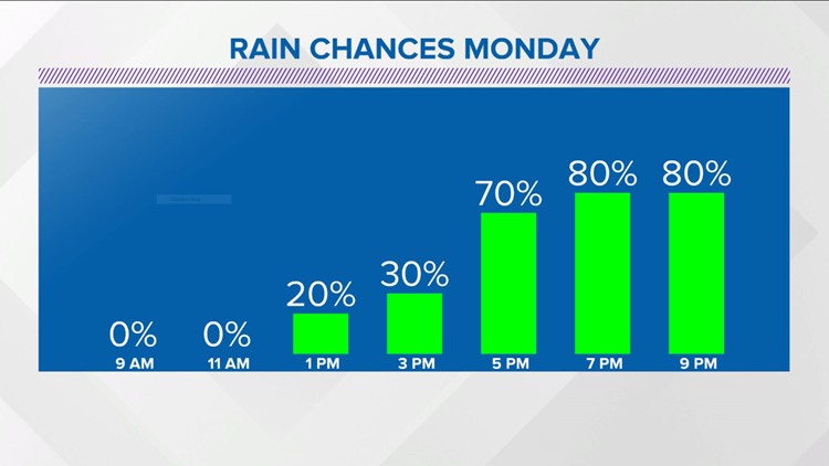
INDIANAPOLIS — Monday morning clouds will have more bark than bite, with the exception of areas of drizzle but we will definitely be on radar watch, with rain expected to expand over central Indiana during the afternoon for a soggy finish to the day.

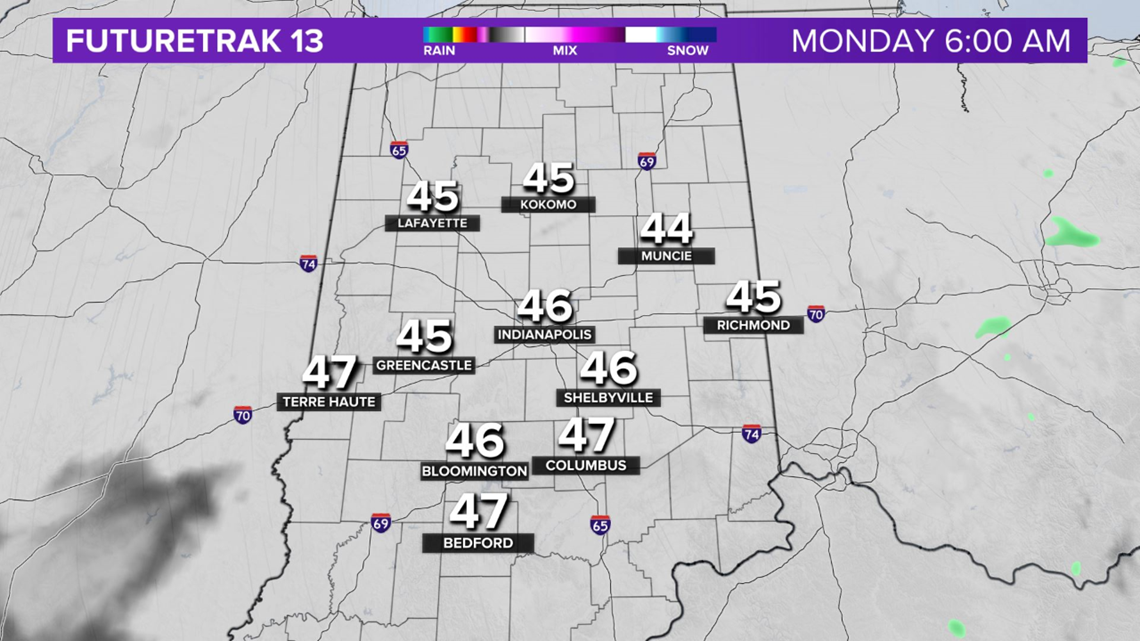

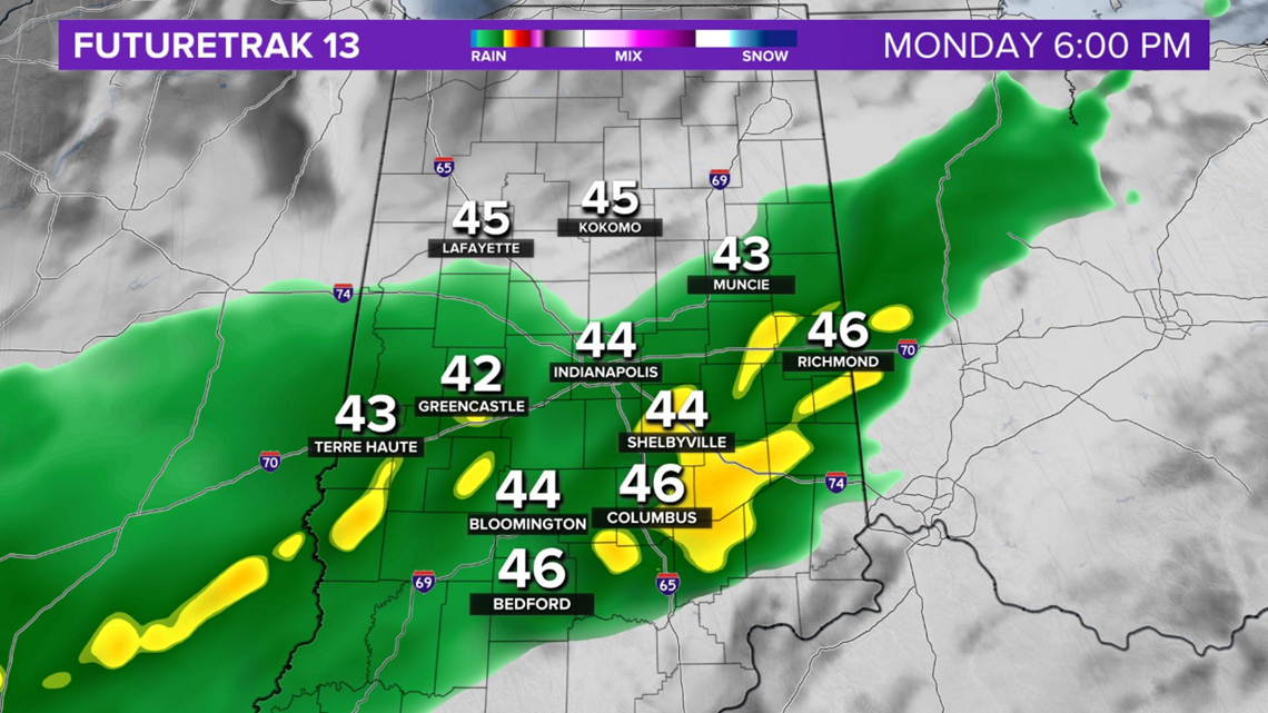
A combination of clouds, a northeasterly wind and the rain keep temperatures seasonably chilly, in the upper 40s to near 50.
Rain lingers Monday night with possibly some leftovers Tuesday morning.

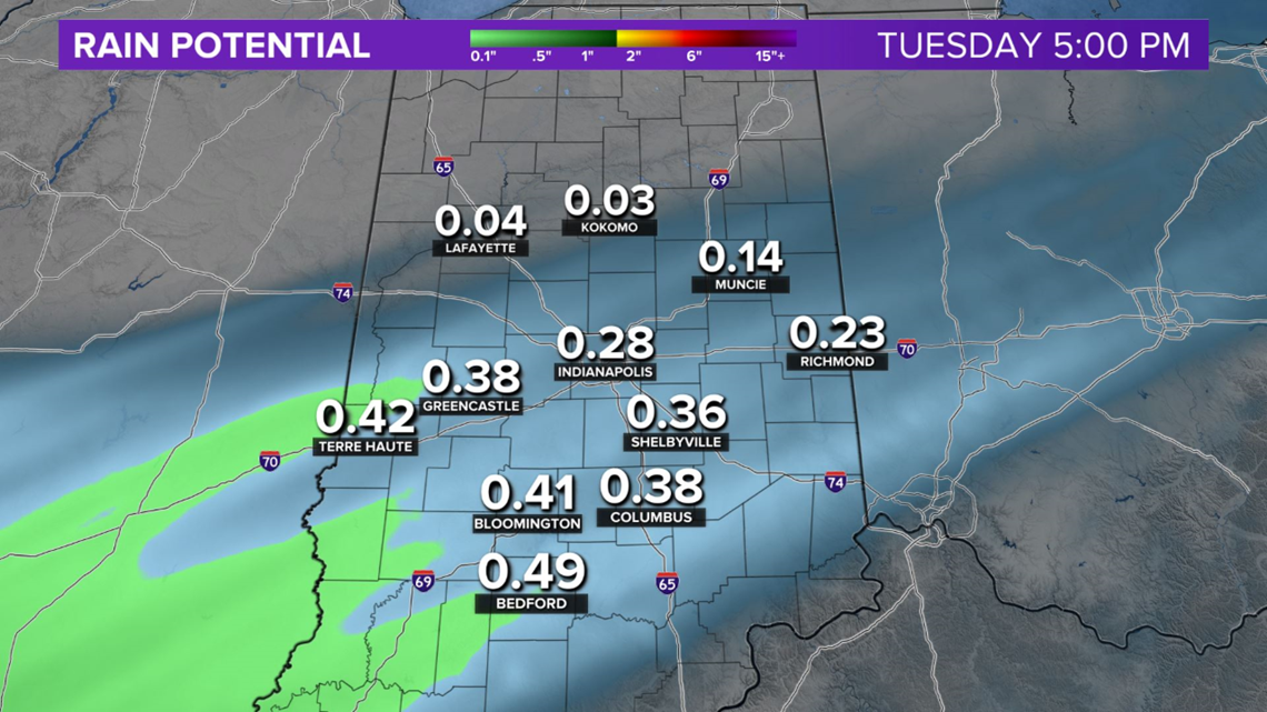
Rain amounts vary from a trace to locally a quarter-inch in what will be the first of two systems to bring rainfall to the region.
The second is in the western Caribbean, Tropical Storm Zeta. Yes, Zeta. Which serves to notice how active the 2020 tropical season has been.
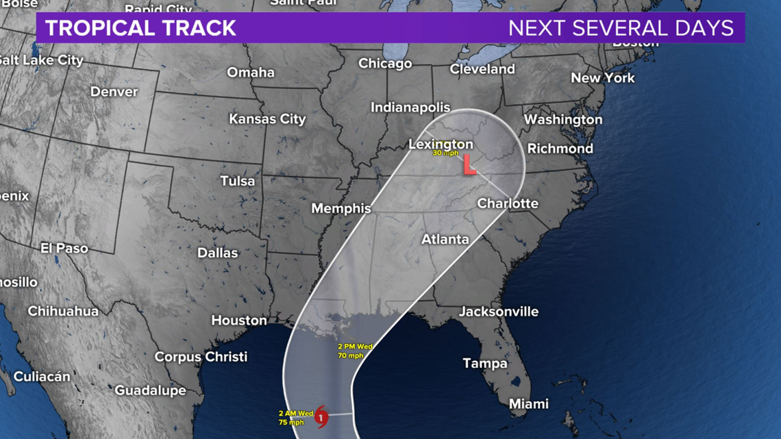
Zeta may actually strengthen into a hurricane before making landfall along the central Gulf Coast mid-week.
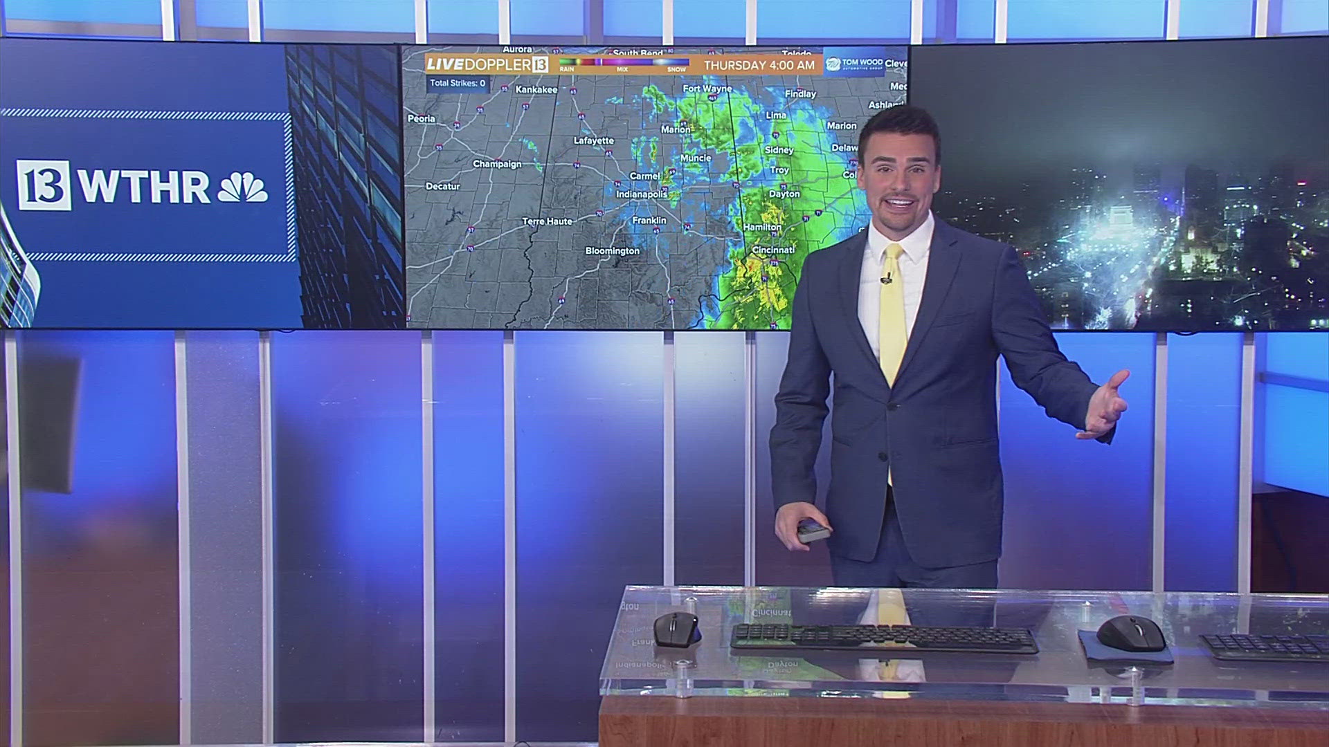
The remnants arrive in the Ohio Valley Wednesday night into Thursday and this would bring more beneficial rainfall to a region remaining in moderate drought conditions.


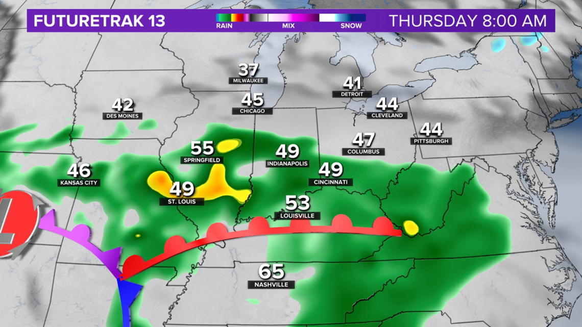
Thankfully, it's modeled to depart prior to next weekend and we're currently forecasting sunshine for Halloween next Saturday.
Check back for updates and don't forget that we "fall back" to standard time at 2 a.m. next Sunday and the clock goes back one hour.


