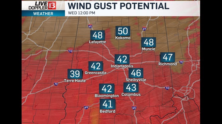
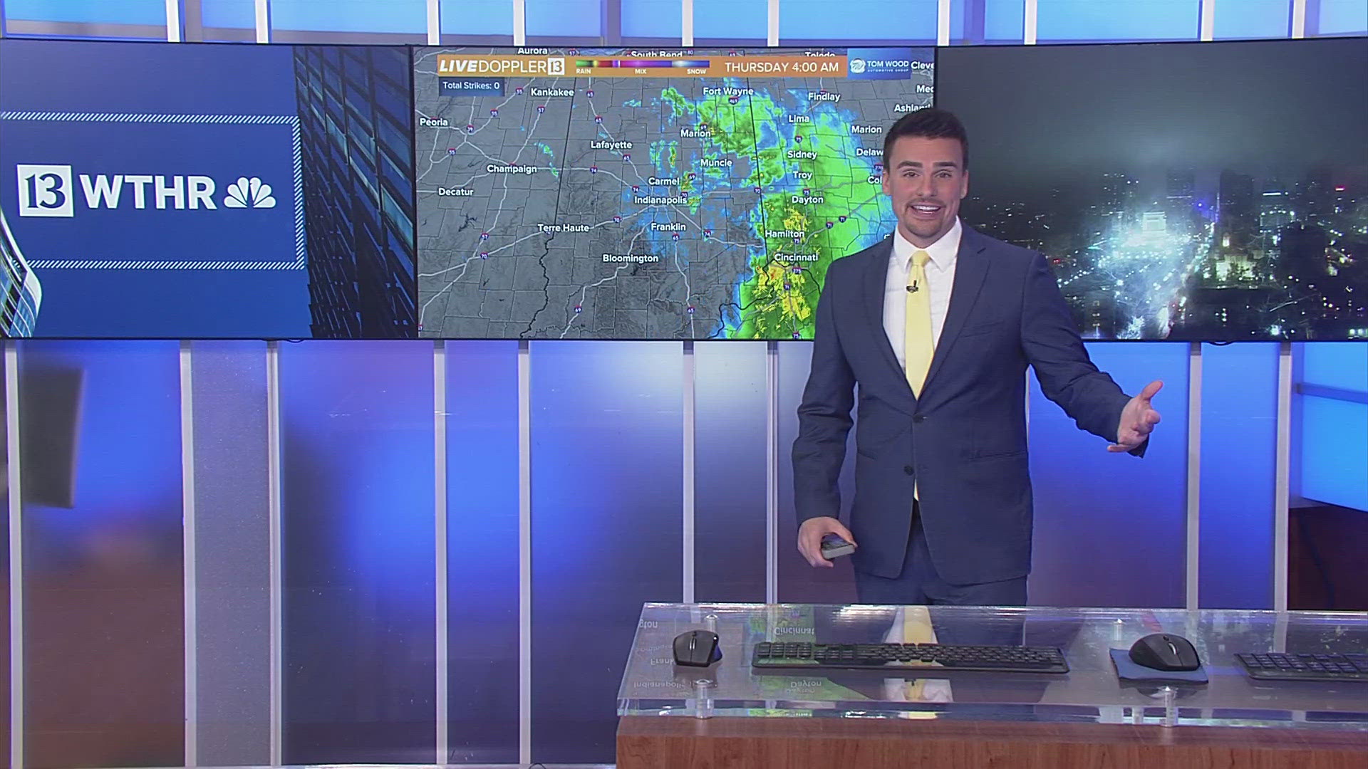
Unfortunately the forecast and High Wind Warning are already verifying this morning. At 8:30 AM there are already 2,700 IPL and 7,400 Duke customers without power.

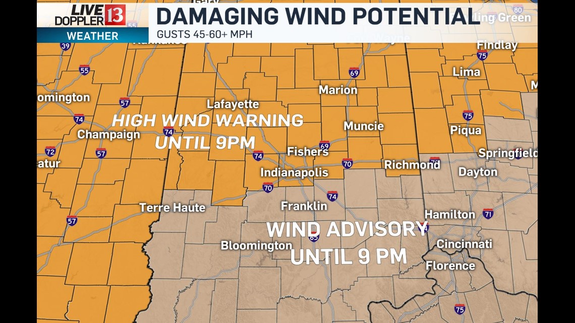


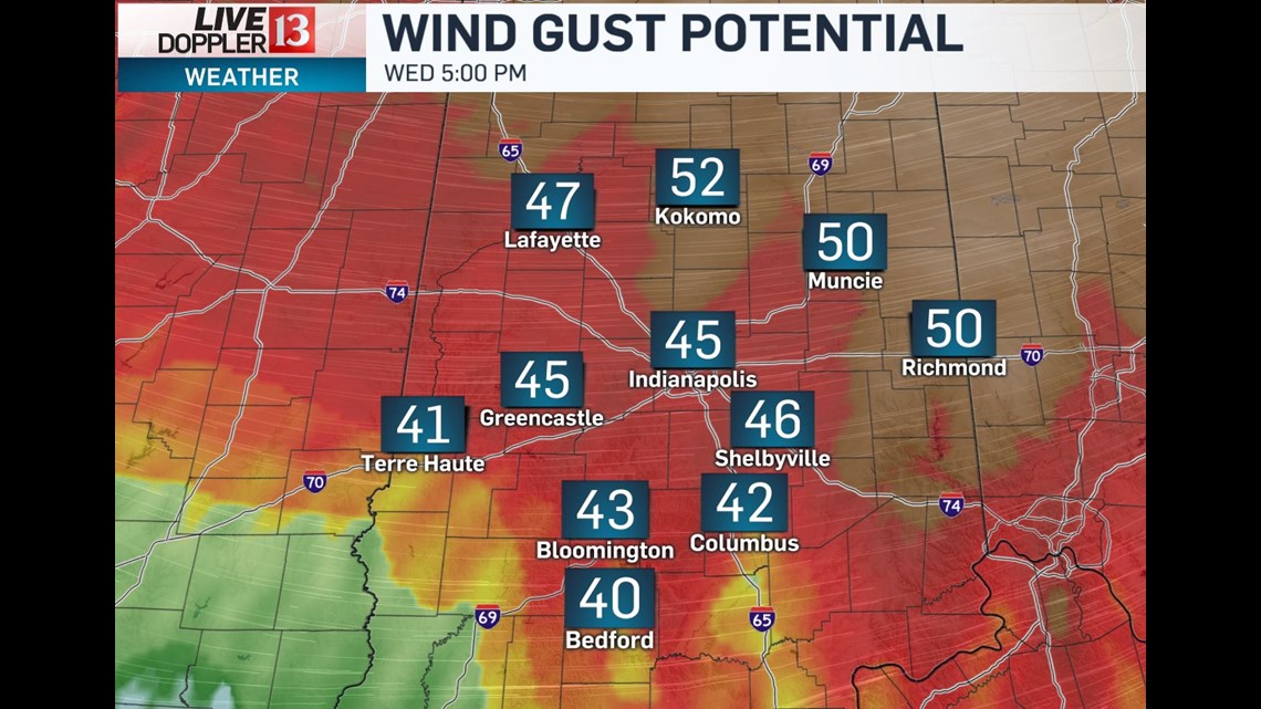
This doesn't bode well with a prolonged period of 45-60+ mph gusts into this evening. Please be cautious downed power lines and trees... as well as driving near semi-trucks which could be blown over by the strong wind.


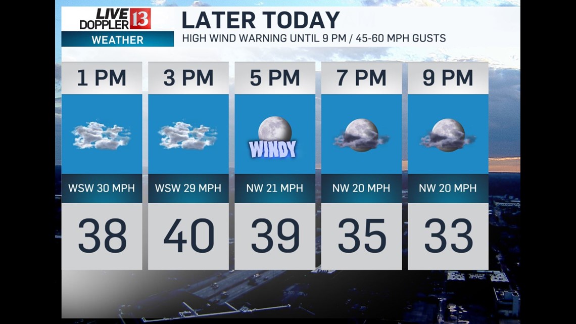
The official high for the day occurred before 6 AM at 57° and temperatures are dropping steadily in the wake of the cold front. Much of the day will be spent in the upper 30s to near 40° with wind chills dipping into the 20s later today... making it feel 30° colder than earlier today.

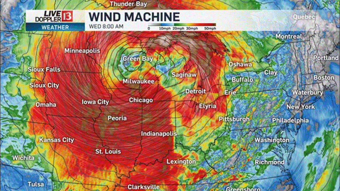
Wind eases overnight as the center of a strong storm system and it's broad, high wind field begins moving east of Central Indiana.


We're still on target for quiet, cold, cloudy Thanksgiving with morning temperatures in the upper 20s and afternoon highs struggling into the upper 30s.


All eyes will be on radar come Friday evening with an approaching shield of rain nearing Indianapolis by 8 PM. It's possible we may "thread the needle" and get most of Circle of Light festivities in dry... but rain is possible as early as 5 PM and becomes likely by 10 PM.

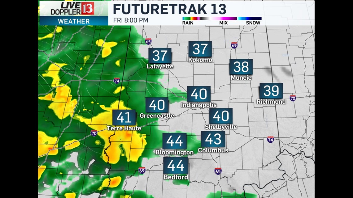
This is part of the next system that brings widespread rain into the state to start the weekend. Saturday is a washout and Sunday becomes colder with scattered mixed showers in the afternoon and evening.


