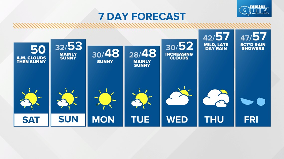
INDIANAPOLIS — While skies have cleared out for most of central Indiana, a few clouds linger across the northern tier of the state. While these clouds will clear in the early afternoon, high temperatures will be a few degrees cooler in the mid to upper 40s.

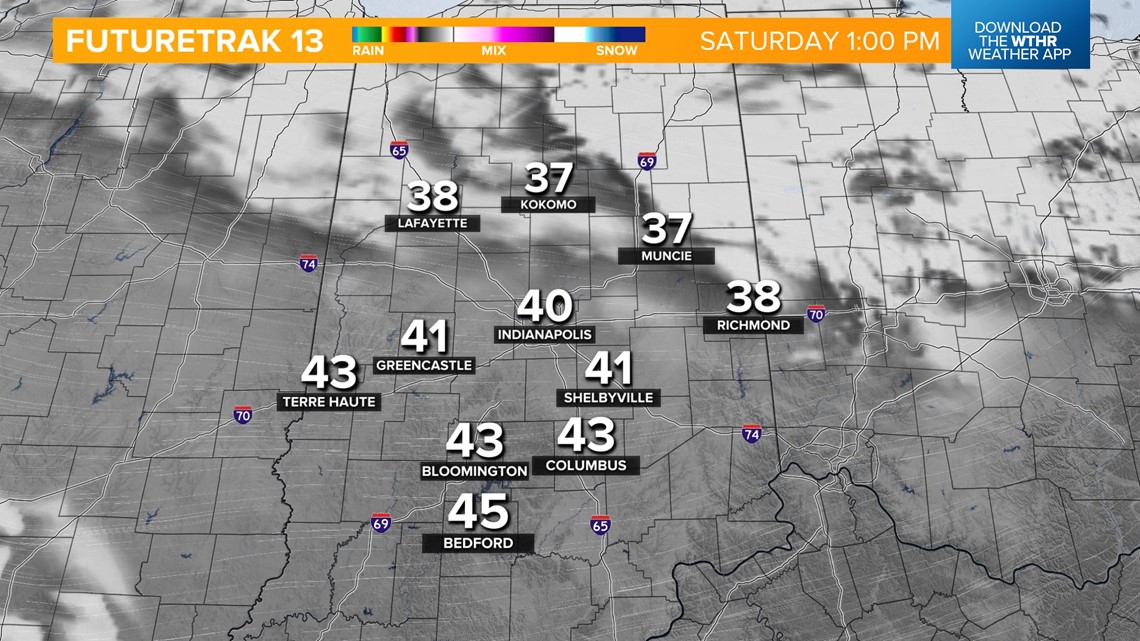

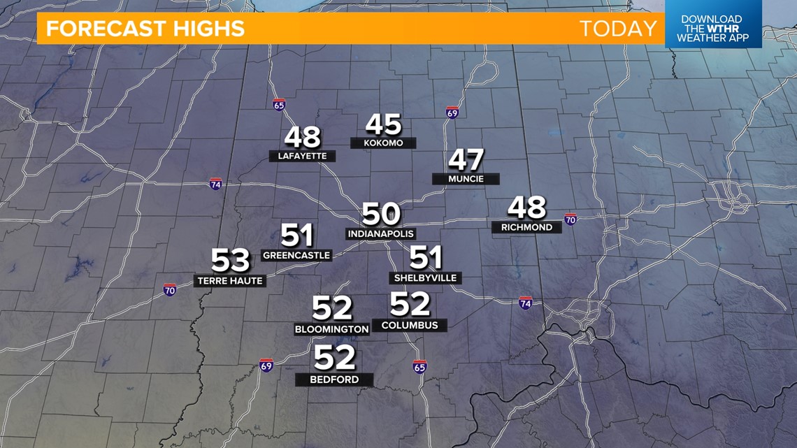
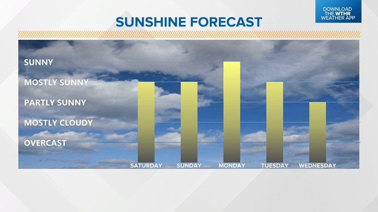
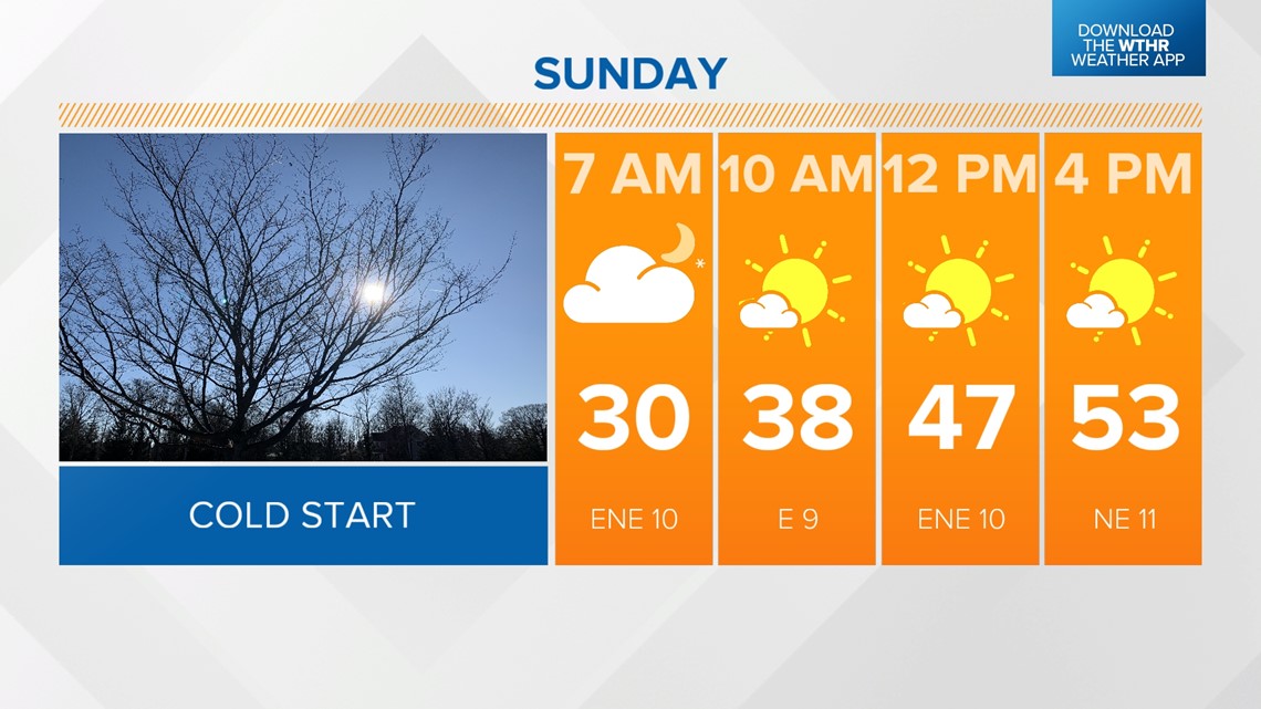
We will stay mostly clear overnight with lows near the freezing mark. A dome of high pressure to our east will keep skies clear again on Sunday (and ultimately through the first part of next week) allowing for plenty of sunshine. Highs will be a touch warmer for the second half of the weekend in the low 50s.

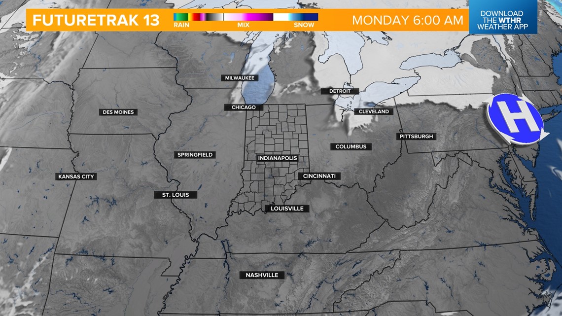

Unseasonably mild temperatures as well as the sunny pattern continue through next week with highs in the upper 40s Monday and Tuesday. A few more clouds will be possible by Wednesday with highs in the low 50s.


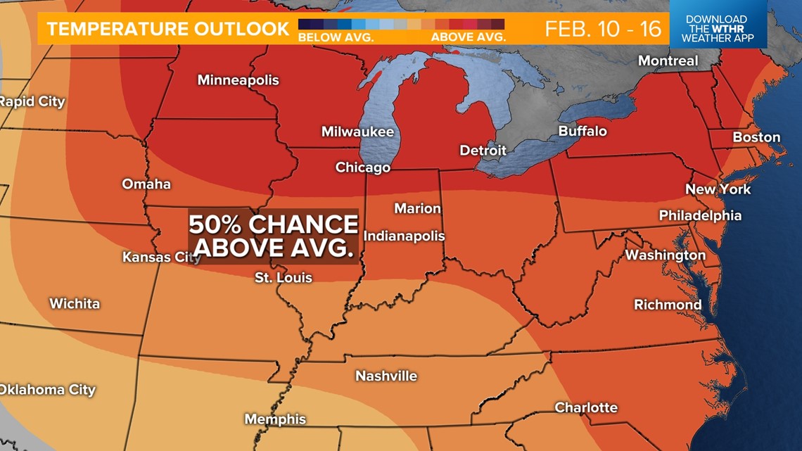
Clouds will continue to increase ahead of our next rain chance moving in late Thursday with scattered rain showers possible through the day on Friday. A surge of warmer air will accompany this weather system with highs in the upper 50s. The warmer-than-average pattern sticks around for the long-range forecast with at least a 50% chance of temperatures remaining above average through mid-February.

