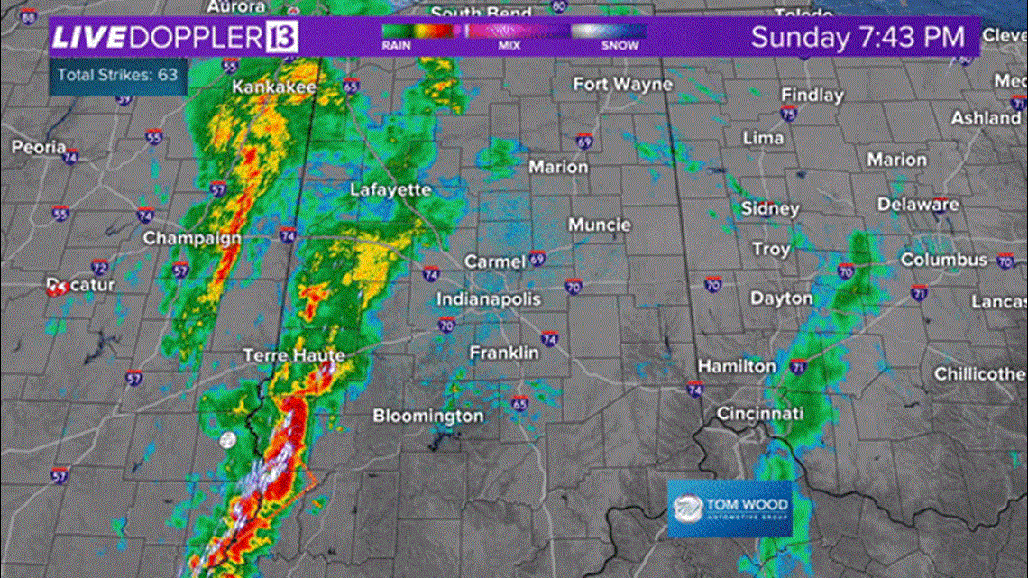
A line of heavy storms continues to creep toward the Indy metro area at this hour.
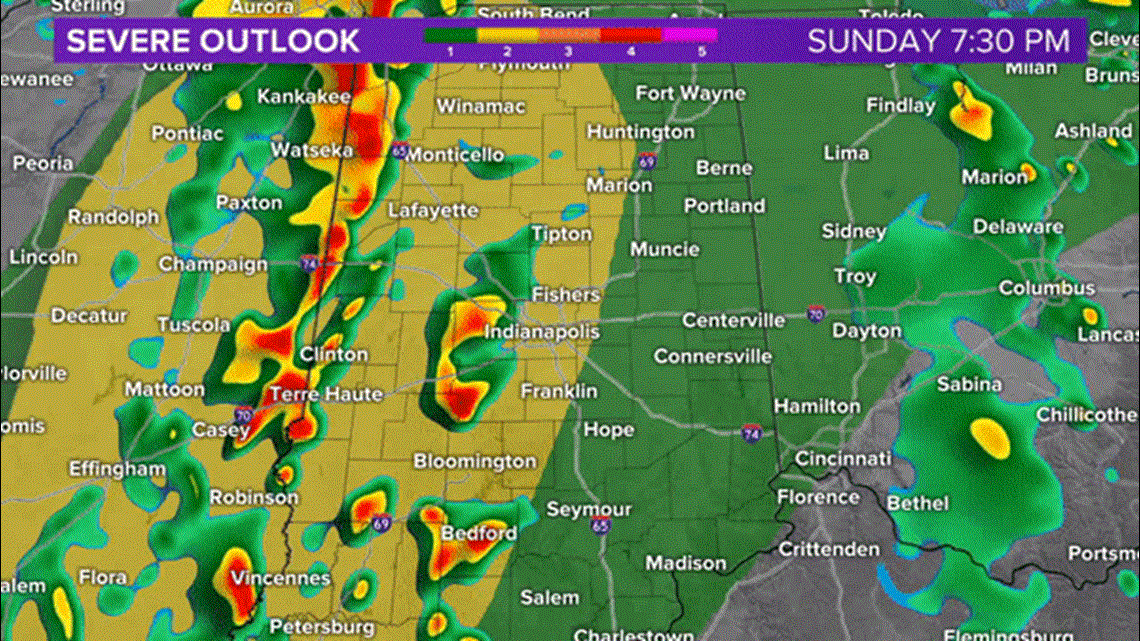
The roughest part of the line is over southwestern Indiana where's just a bit better instability to work with in the atmosphere.


The overall threat of damaging wind/tornadoes for the WTHR viewing area remains low... but we can't rule-out a brief tornado or severe gust embedded within this line.... especially south of I-70.
Though we expect some weakening of the line after sunset and when it encounters lessening instability around the metro area... we don't expect anything but heavy rain rates overnight into early Monday morning.


Rates of 1"-2" will impact many more yards than severe weather and areas of flooding are expected to emerge due to a slow progression of this line from now until Monday morning.
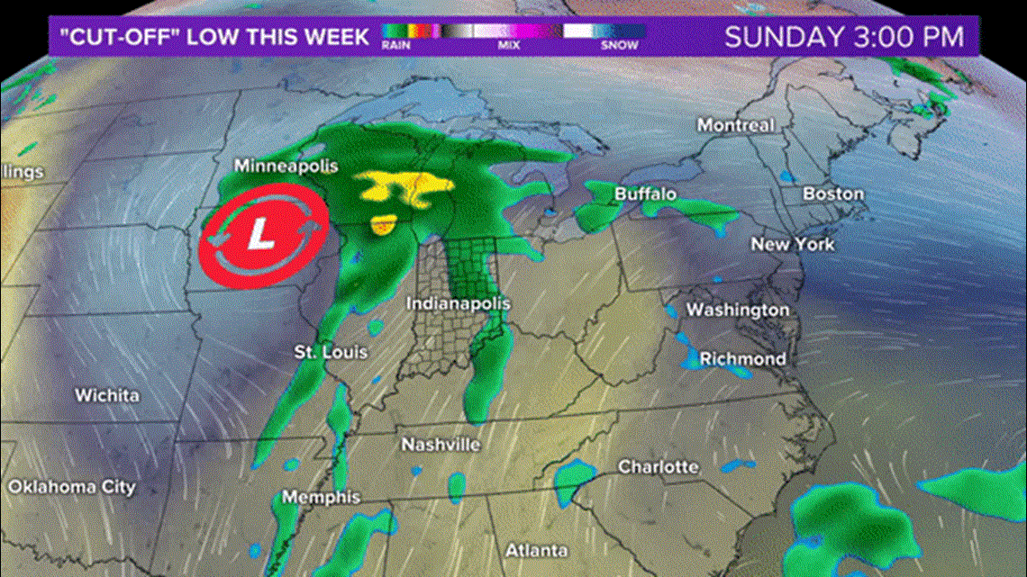
Heavy rain continues in eastern Indiana on Monday before the "banding" of high rain rates return Central Indiana Monday night into Tuesday as it wraps around low pressure to our south.


