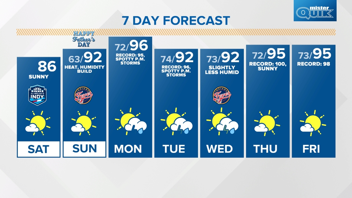
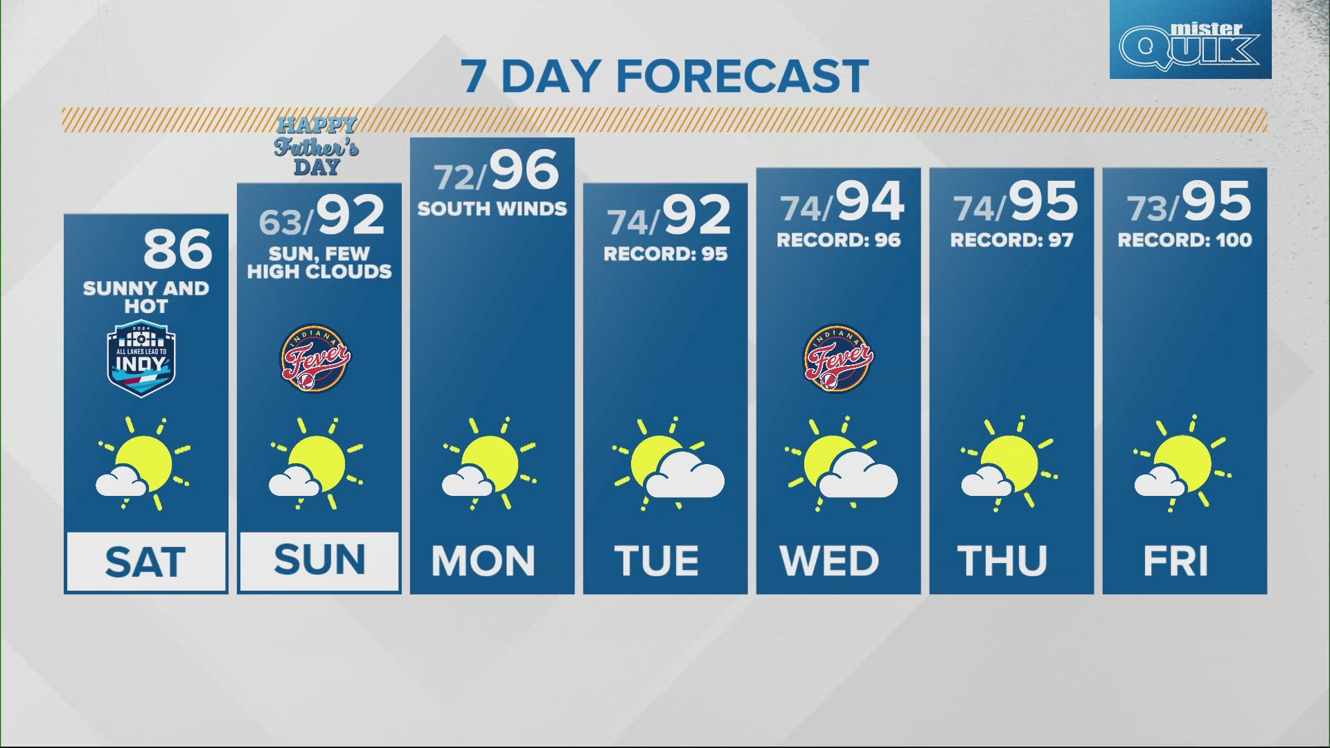
INDIANAPOLIS — Today will be the "most pleasant" day in the extended forecast as tomorrow kicks off a stretch of summertime heat and humidity.
TODAY:
A dome of high pressure will dominate the area today keeping skies mainly clear and humidity at a comfortable level. Highs in the mid 80s and lows in the low 60s tonight.



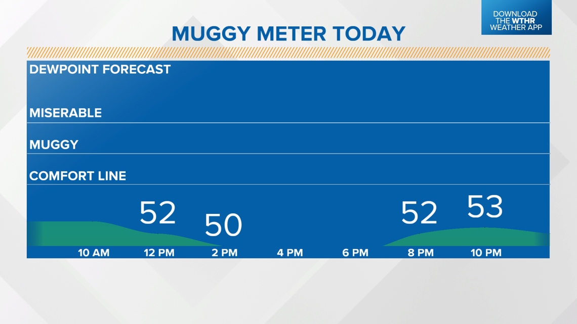
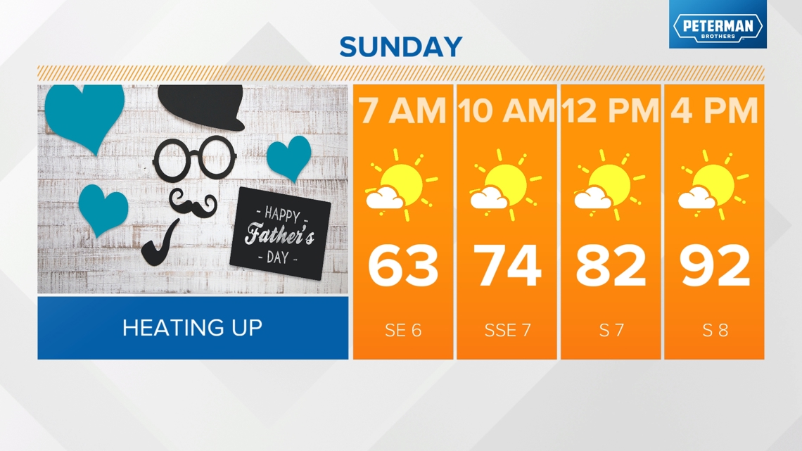
The main weather story for the extended forecast will be the heat and humidity and that begins tomorrow. The high pressure core will shift east on Sunday changing up our wind direction from the east to the south pumping in Gulf moisture and southern heat.
So heat and humidity both increase by tomorrow?
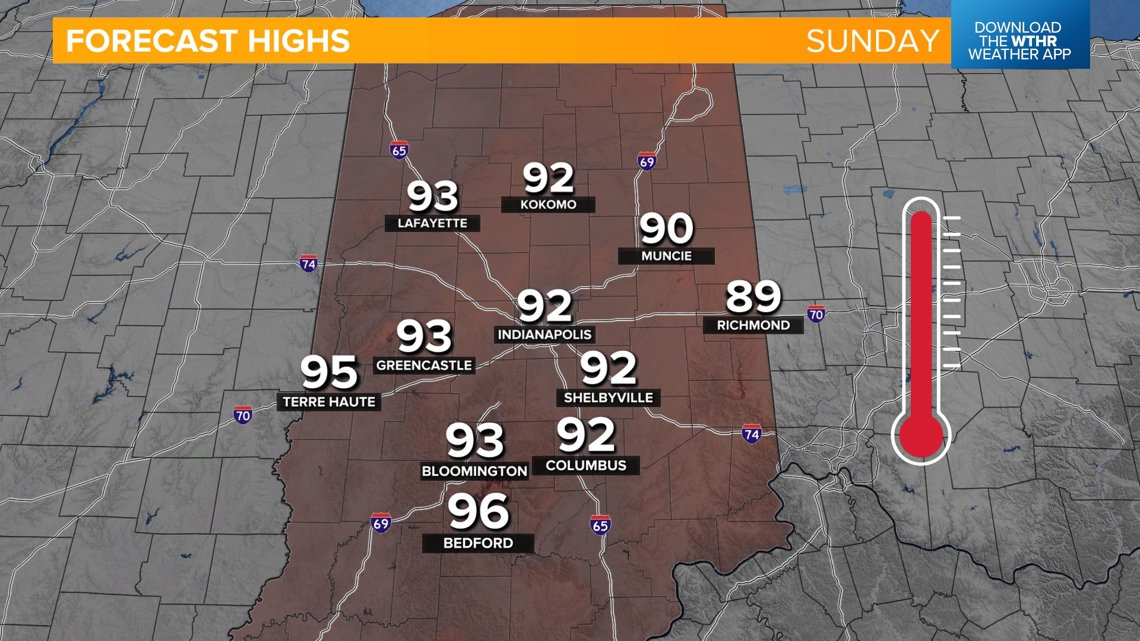
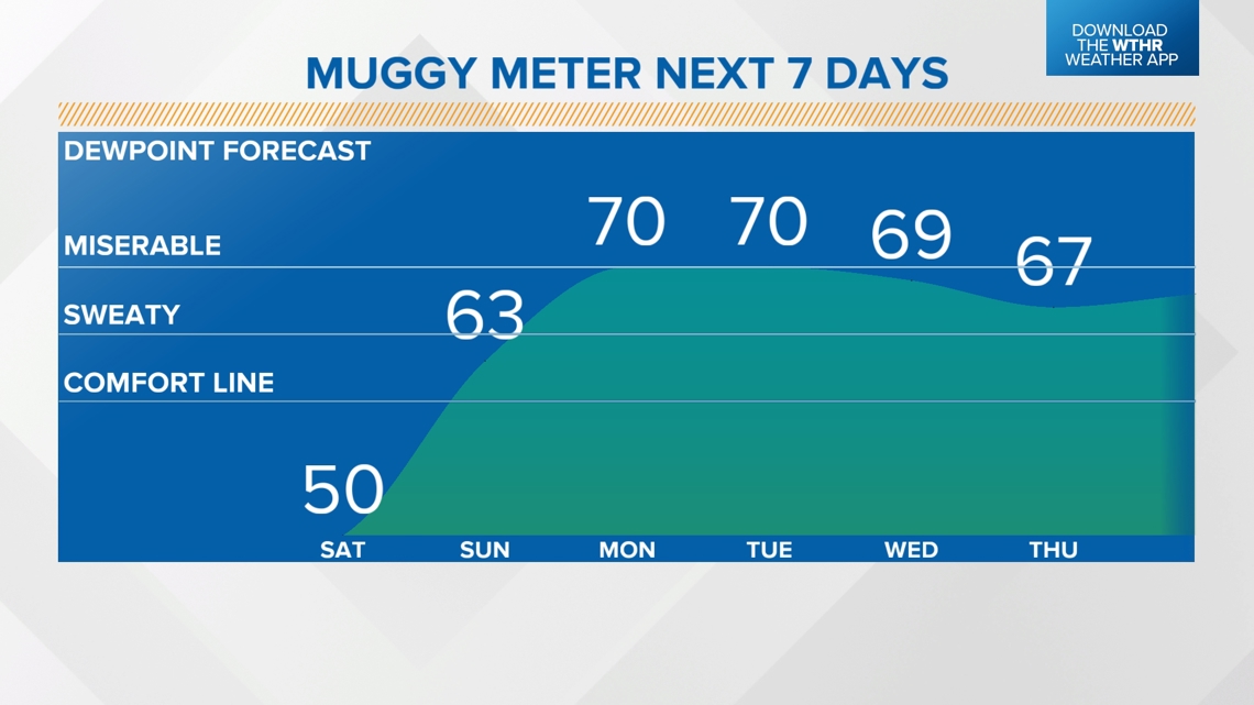
Since tomorrow will be the transitional day, dew point temperatures increase into the mid 60s which is more humid than today but manageable. High temperatures will be in the low 90s under a mainly sunny sky. This could be our first 90-degree day since September 5, 2023.


HEAT NEXT WEEK:
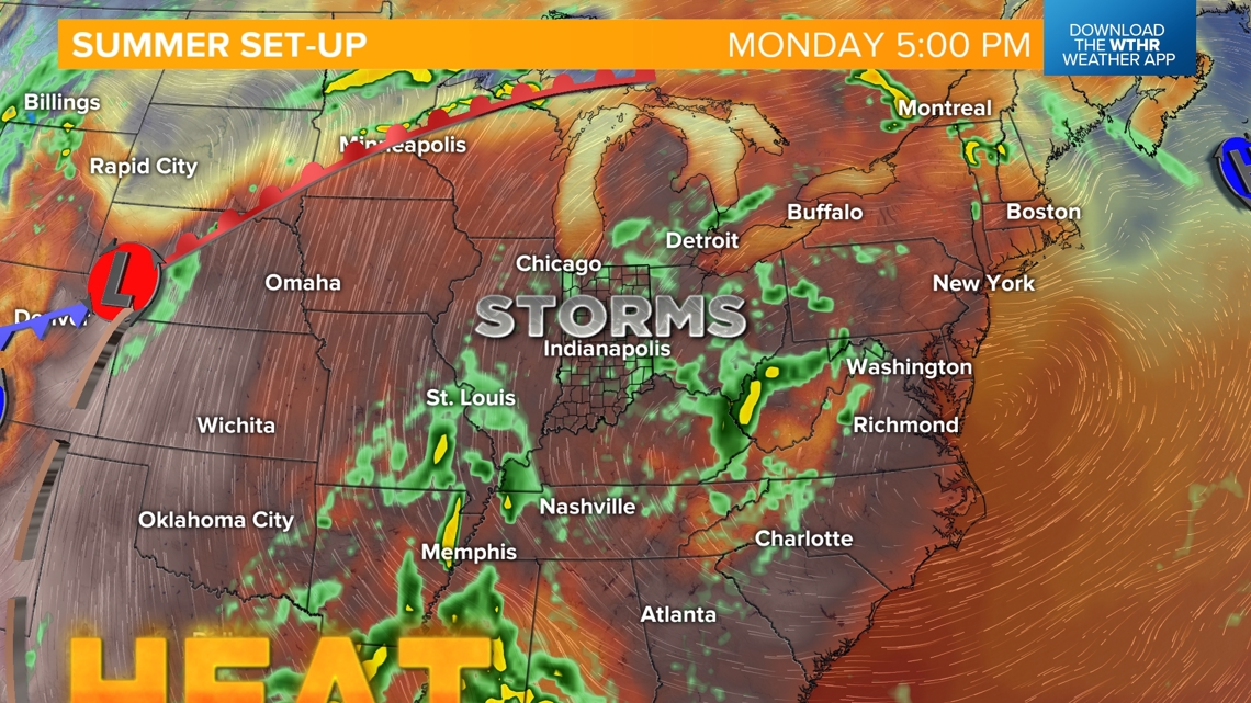
Dew points climb to the miserable zone for Monday and Tuesday (peak dew points above 70 degrees) and with that increased moisture in the atmosphere, will prompt the potential of those afternoon pop-up thunderstorms during the heat of the day. Any rainfall is welcomed though as a stretch heat we're anticipating could lead to the "flash drought" if the ground dries out too quickly.


Look for highs in the mid 90s on Monday which could break or tie the standing record of 95 from 1913. Highs remain in the low to mid 90s through next weekend.

