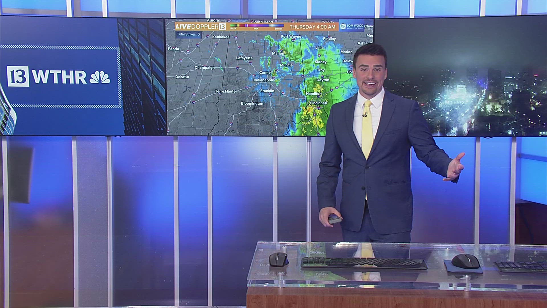
INDIANAPOLIS — At 9 p.m. Tuesday, there was a broken line of rain and storms moving into western Indiana. Here is what radar looked like:

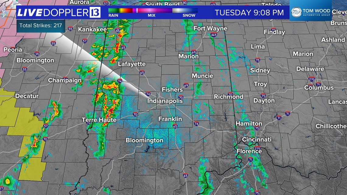
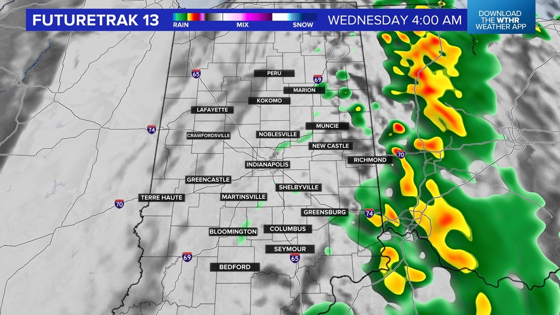
This will move across the state tonight with heavy rain, lightning and the potential for severe wind gusts and hail. This will exit the state by 4 a.m. and the Wednesday morning drive will be dry.

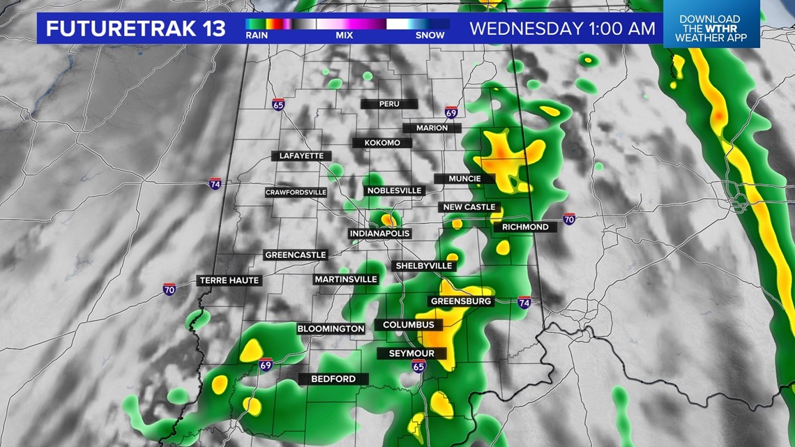

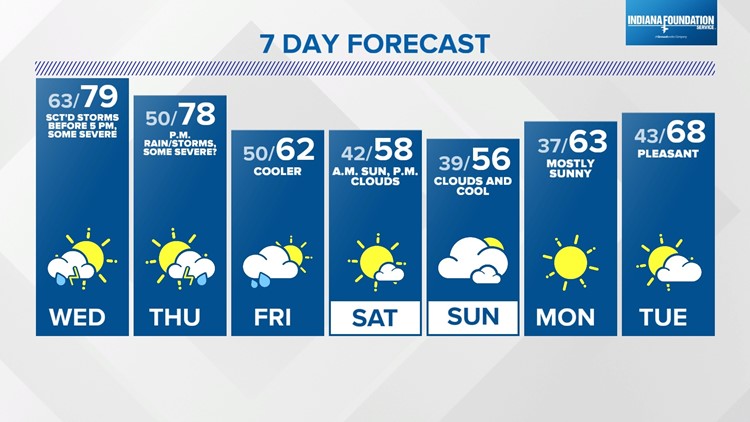
Expect another warm day on Wednesday with highs near 80. Thursday will be warm, too, and in the upper 70s. The threat of severe weather continues both days.
Our thinking for Wednesday is the best threat will be northeast of Indianapolis between noon and 5 p.m. The rest of the day will be dry.
We are still analyzing the data for Thursday, so stay tuned for updates.
Cooler air arrives on Friday as skies start to clear. Forecast highs fall into the 60s on Friday and into the 50s this weekend.


