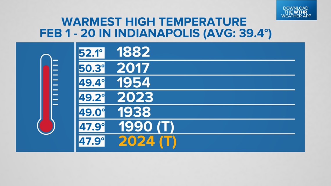
INDIANAPOLIS — High temperatures have been above average for all but three days so far this February. That helps rank this year as the sixth-warmest start (tied with 1990) to February with an average high temperature so far of 47.9 degrees.

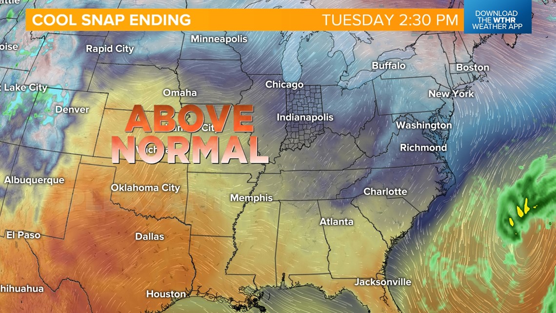
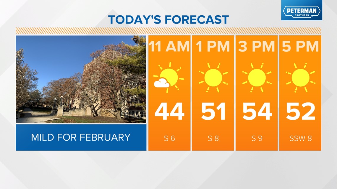
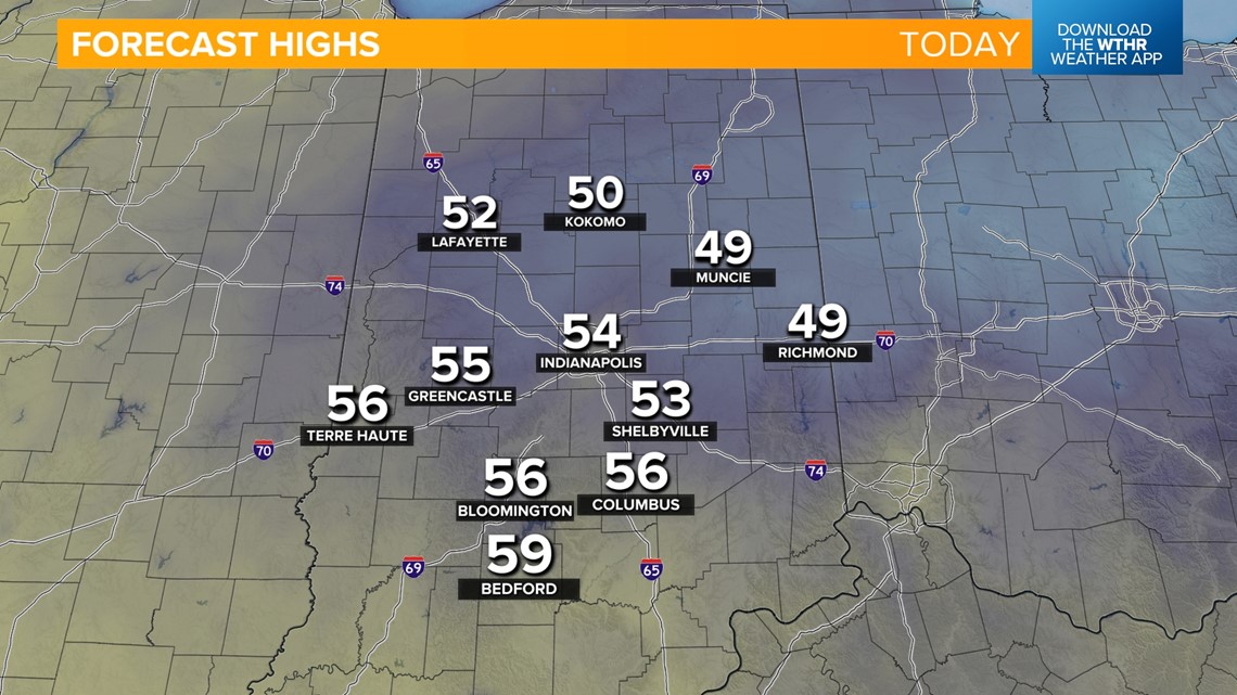
Surface high pressure is still in place, keeping our sky clear again for today. Temperatures will continue to warm back above average today in the mid-50s with southerly winds.



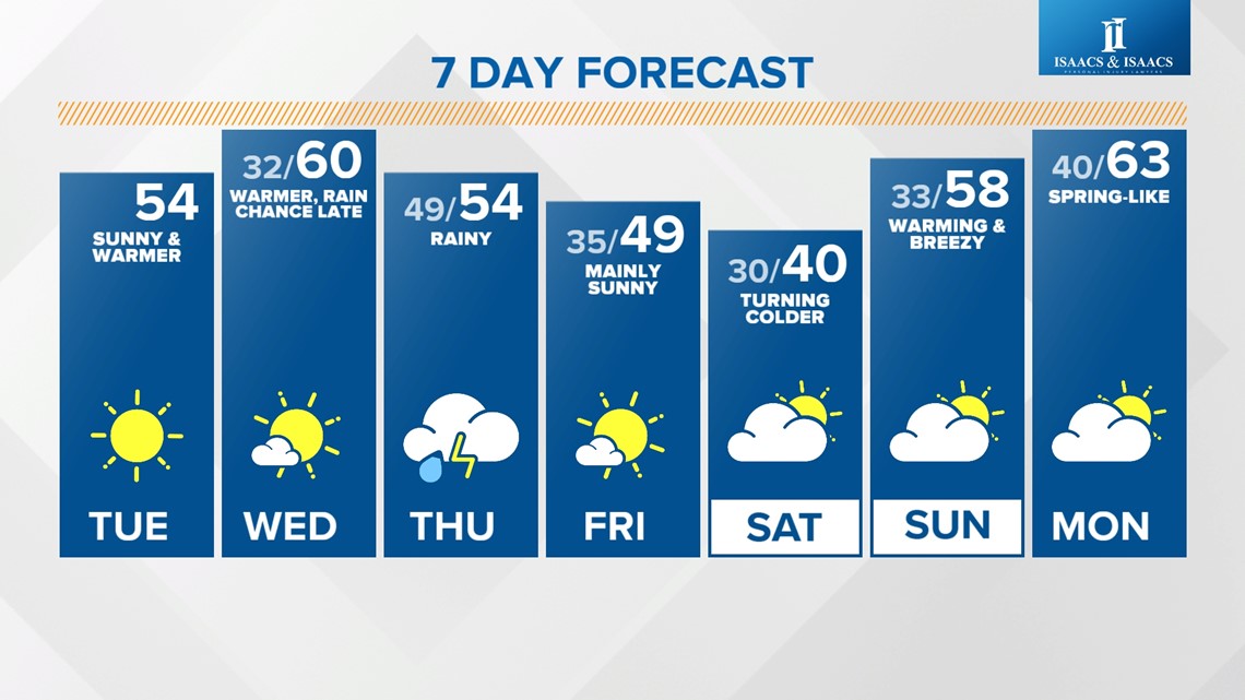
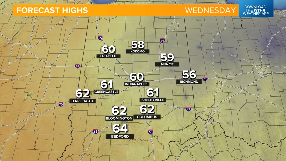
Wednesday will be the pick of the week because it will be the warmest of the week, with highs making a run at the 60-degree mark around the Indy metro and even into the mid-60s across the southern tier of central Indiana. These are more seasonal temperatures for early April. Skies will start clear and sunny before clouds increase Wednesday afternoon and evening as our next weather system brings rain in late in the day.

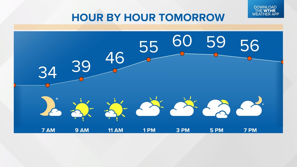


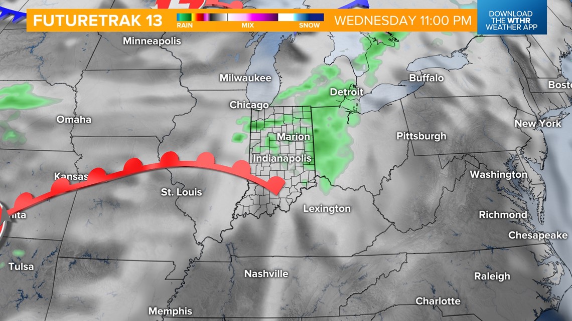
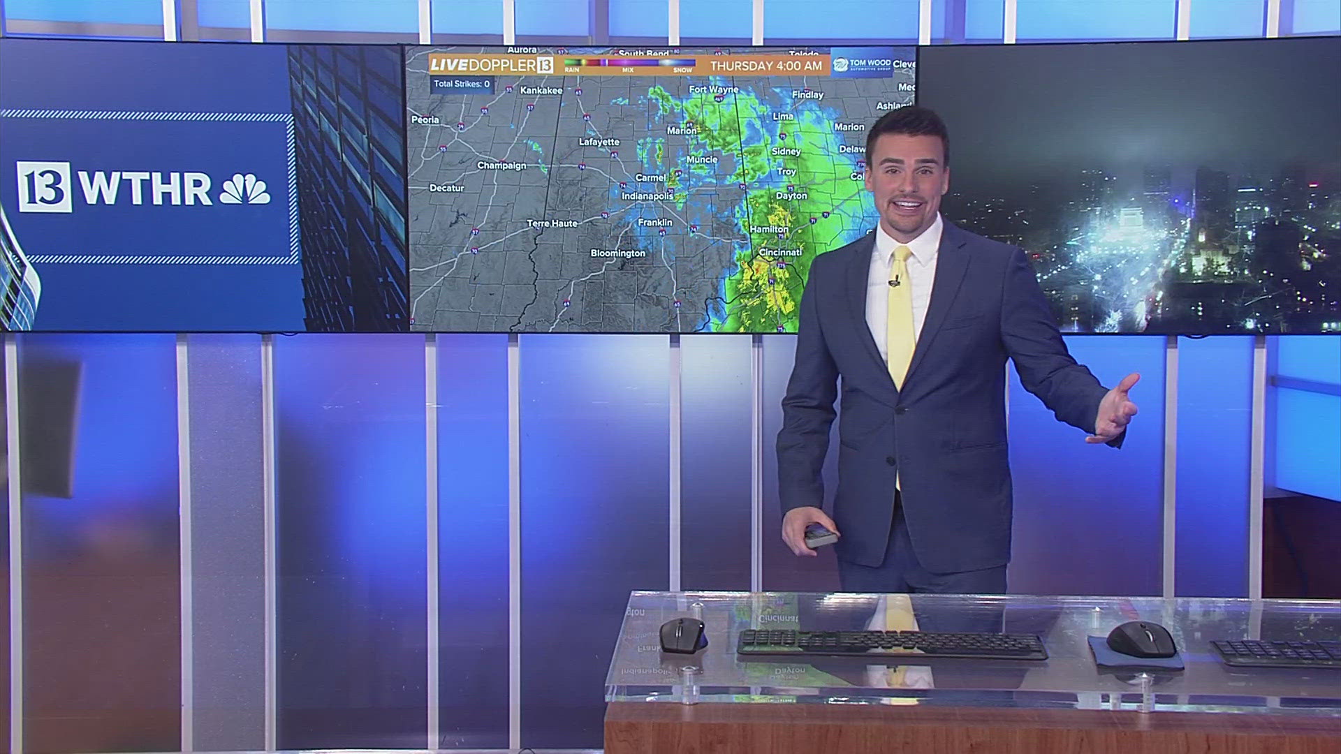
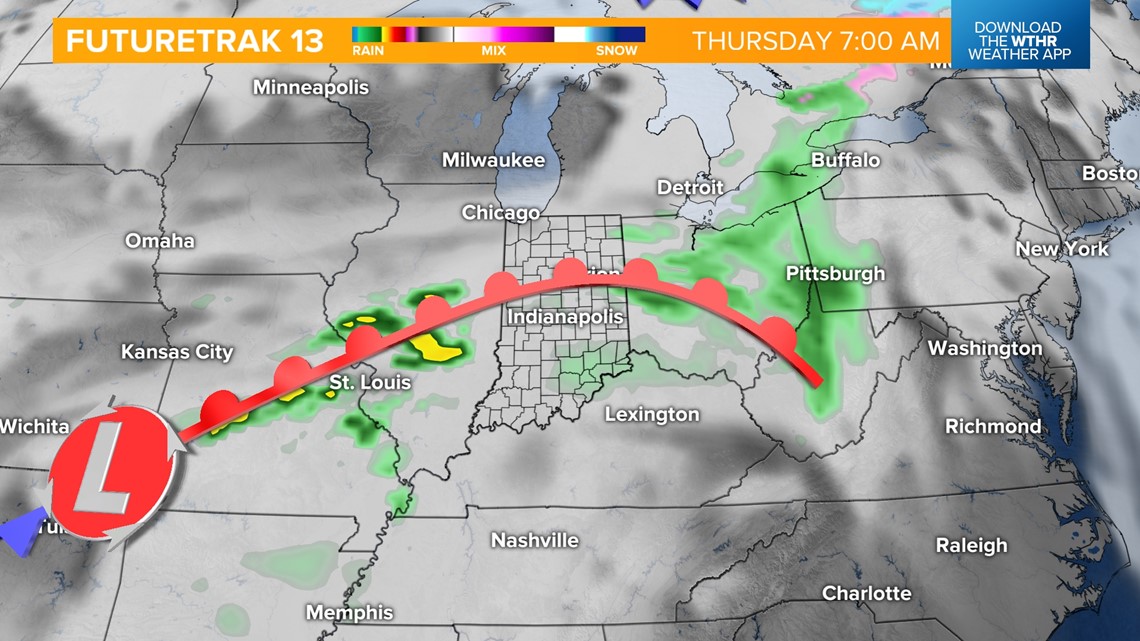
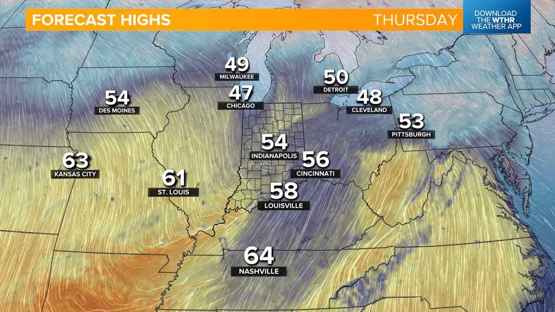
Scattered rain showers will then be likely Thursday morning and into the late afternoon as a low pressure system tracks through the state. Temperatures will be hindered a bit with the rain and clouds Thursday, but it'll still be well above average with highs in the mid-50s.



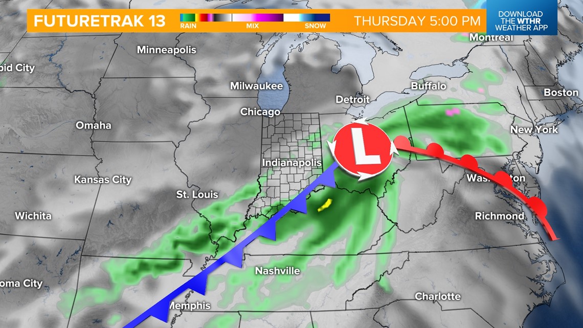
As this system pushes out late Thursday, we'll see some sunshine returning Friday afternoon with temperatures still in the upper 40s. A secondary cold front will then move through Friday evening and will serve as a reinforcing shot of colder air setting us up for a chilly start to the weekend.

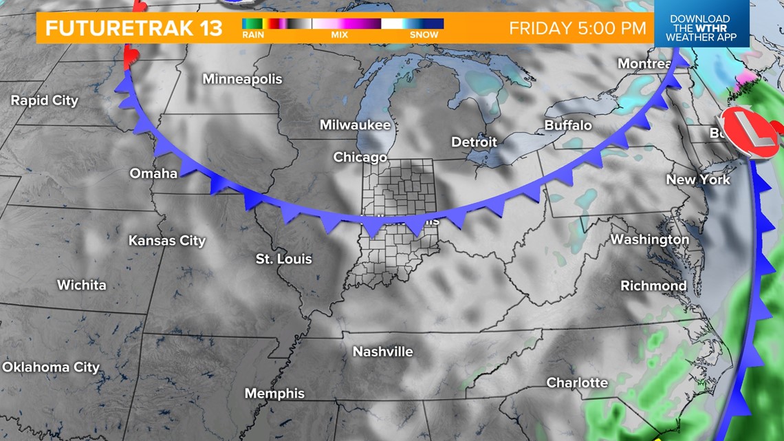
The coldest temperatures in the extended forecast will be on Saturday, with morning lows near 30 and afternoon highs near 40. This will be brief though as a shift in winds by Sunday will again serve as a conveyor belt of warmer, moist air from the Gulf. While rain chances look limited at this point, temperatures will recover in a big way with highs back in the upper 50s and low 60s for Sunday into Monday.

