INDIANAPOLIS — Buckle up as an active weather pattern continues to target the Ohio Valley and central Indiana this week.
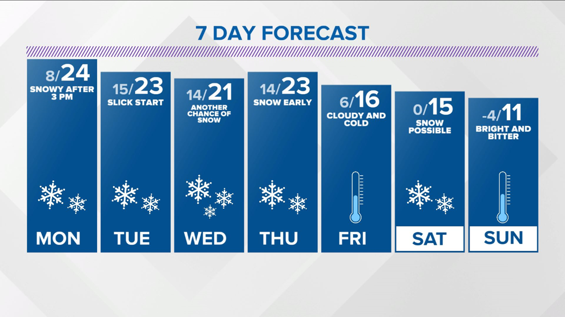
There will be multiple chances of snow the next seven days with potential of light to possibly heavy snow.
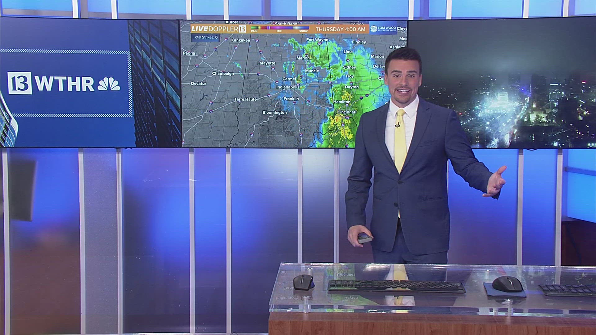
In fact, there will be three systems alone over the next 96 hours, and the first is showing up on Live Doppler 13 Radar at this hour.
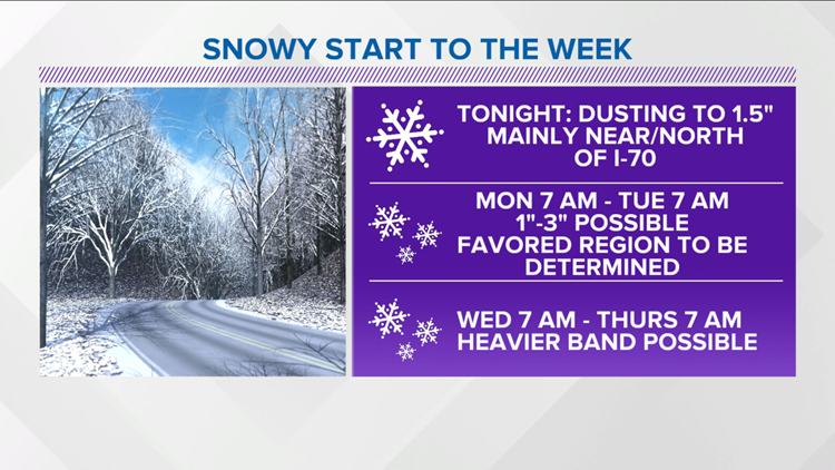
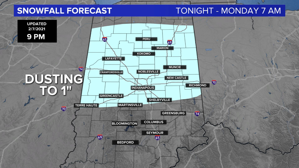
Though snowfall tonight into early Monday morning will be light (dusting to locally 1.5") and only impact a narrow zone near/north of I-70, it will be impactful where it falls due to temperatures in the single digits.
Use caution if traveling, and know that there could be some school delays/virtual school delays as a result.

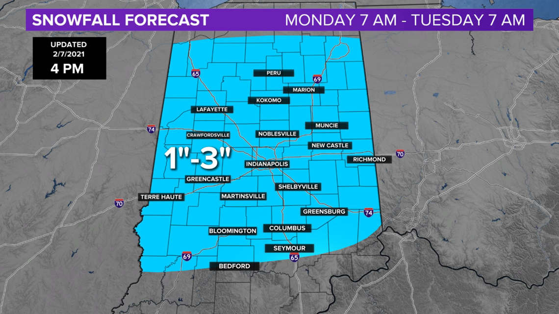
Another shot of snow, likely more widespread than Sunday night, arrives Monday afternoon and overspreads much of the viewing area into predawn Tuesday.
Snowfall ranges from near 1" to locally 3" but at this time, it's uncertain where the heaviest banding sets up. However, this will have impacts on Monday evening commuting and possibly leading to more school delays/virtual days Tuesday.

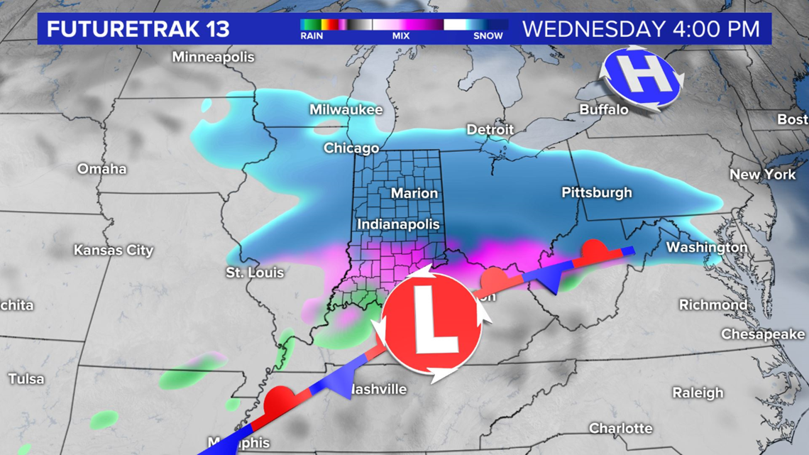
The strongest system of three may ultimately be Wednesday into Thursday morning with some modeling suggesting potential of heavy snow banding and/or icing in southern Indiana.
There isn't complete agreement on model data so of the three, it has the lowest forecast confidence at this time, but definitely follow the forecast closely all week with changes likely, and some of those could be significant.

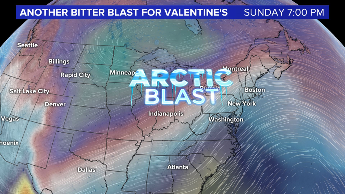
Depending on how much snowpack is created this week, there's potential of another bitter shot of air Valentine's weekend.

