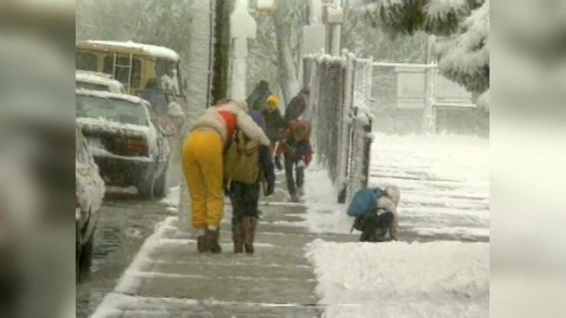
It's definitely looking and feeling like winter in central Indiana as a narrow band of light snow moves across the viewing area between now and 7 p.m. A dusting in some places is possible, but this mainly compounds the fact that temperatures (in the 30s today) are over 10° the daily average for mid-November.
This area of snow is developing on the nose of much warmer weather to the southwest of Indy, where St. Louis is in the 60s! That air mass is lifting northeast and we're expecting temperatures Tuesday afternoon to be 20°+ warmer than today. As the warm front lifts this way it will shove the light snow out of the state quickly this evening.
Other than patchy fog, we're expecting a much brighter day overall on Tuesday with highs ranging from the mid-50s (east) to mid/upper 60s (west), with Indy flirting with 60°.


Temperatures remain elevated Tuesday evening/night as southwest wind ramps up and becomes rather gusty. Winds of 20-40 mph from the southwest keep temperatures well in the 50s heading into Wednesday morning.


The balmy start leads to our warmest readings of the week with highs ranging 60-65°+ even with an increase in clouds and some rain. While areas of drizzle are possible Wednesday, the main rain axis doesn't impact central Indiana until closer to sunset and lingers into early Thursday morning.
A cold front passing the state Wednesday night may cause the rain to mix with snow at times Thursday morning before the precipitation axis exits the state by midday Thursday.


