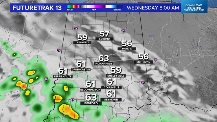
INDIANAPOLIS — After another day of very hazy conditions and poor air quality, the scattered showers Tuesday were a welcomed sight.
Additional showers are inbound overnight, but it looks like the axis of greatest coverage may set up just west of I-65. Any rain is great, not only because of the dry spell we're in but to aid in mixing up the atmosphere to improve air quality.
At the time of this positing, Indianapolis' air quality index was 102, which remains unhealthy for sensitive respiratory groups and you should limit outdoor time if that includes you.

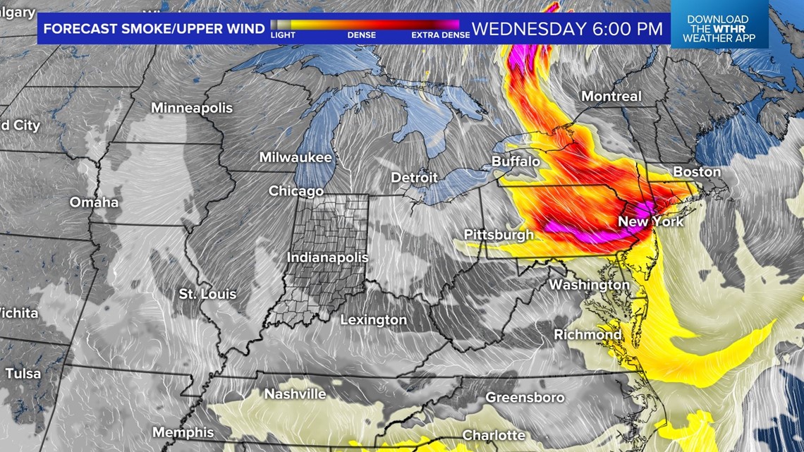

However, this grossly pales in comparison to the whopping - and worst in the world - 300 AQI in New York City!
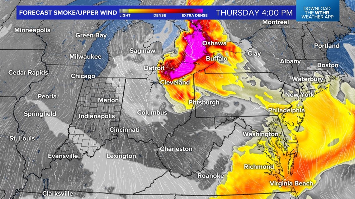
That's dangerously high smoke pollutant levels and it appears many large northeastern U.S. cities will get another round Wednesday as heavy smoke from fires over Quebec drift south-southeast around a stationary upper low.
Locally, we probably are not going to have a true blue sky, but it won't be nearly as dense as what occurs to our east. Sunshine will be filtered through haze but we expect air quality improvements as the more dense layer gets dispersed to our south.

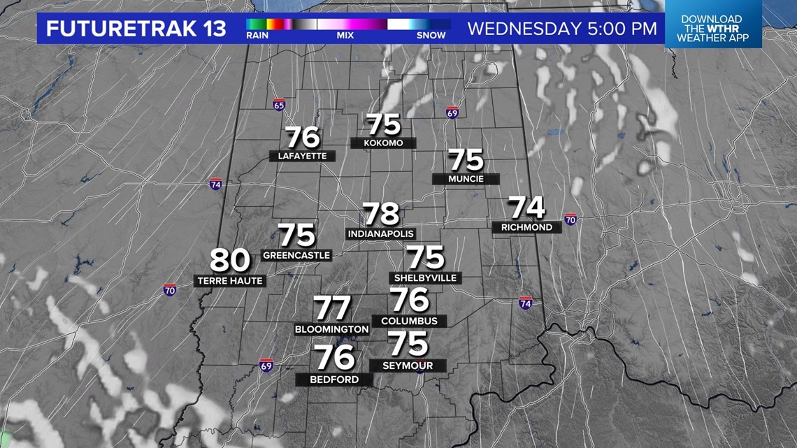
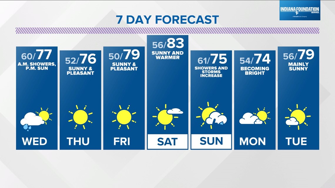
Showers linger into the Wednesday morning commute, especially south-southwest of Indianapolis. Expect a decrease in cloudiness from north to south Wednesday afternoon with a refreshing northeasterly wind not only keeping temperatures in the 70s, but with a pleasant Muggy Meter.
Thursday should be another pleasant day with some haze. We'll need to monitor wildfire smoke trends going into Friday, with modeling suggesting another layer possibly spreading this direction again from southwestern Quebec.
Another big weather story is the potential of widespread rain, possibly heavy, Sunday into early Monday. Let's hope that verifies.

