INDIANAPOLIS — Just before 8 p.m. Monday, the National Weather Service updated the tornado count from the severe weather on Sunday.
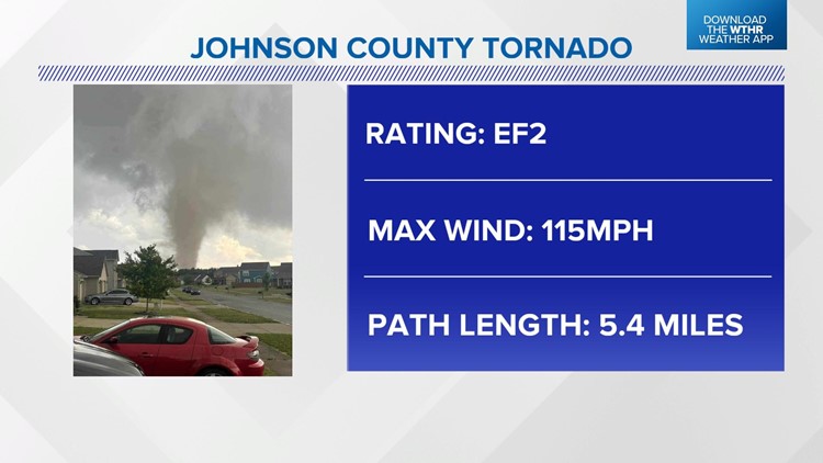
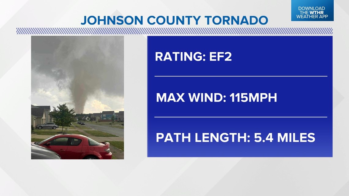
After hours of surveying the damage, they have found damage from four tornadoes. They also increased the rating to an EF2 for the tornado that hit Johnson County. Maximum winds were 115 mph and the tornado was on the ground for 5.4 miles.

There was another EF2 rated tornado across southern Dubois and Northern Martin counties. Unfortunately, there was one fatality.
There was a tornado in Monroe County that did EF1 damage and another EF1-rated tornado that hit Daviess and northern Martin counties.
Storm chances return later this week.
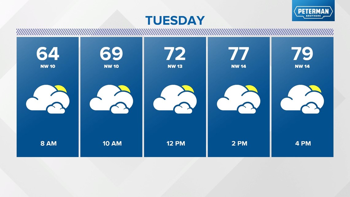
Tuesday will be another mainly cloudy day with afternoon temperatures 75 to 80 degrees. A stray shower is possible, but most of the area will be dry and just cloudy.

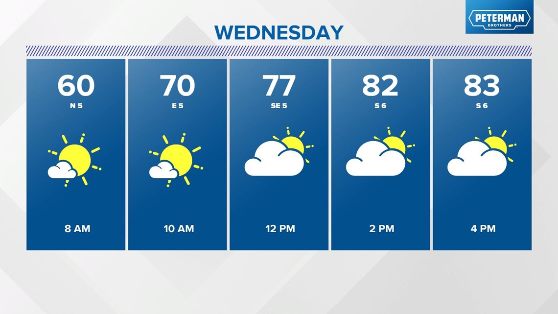
There is some sunshine on the way for Wednesday. Expect highs in the middle 80s.

High heat and heavy storm chances are the weather concerns Thursday through Saturday. Forecast highs are in the upper 80s and lower 90s with a daily storm chance. Right now we are not forecasting any washouts, but there will be storms around that will interrupt outdoor activities.
Stay tuned for updates on the timing.


