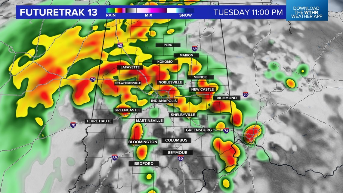
INDIANAPOLIS — The remnants of Hurricane Beryl continue to impact our local weather pattern. There were several rotating storms across southern Indiana on Tuesday evening. At least one tornado was reported across southwestern Indiana.
The large scale severe threat is diminishing late Tuesday evening. A rotating storm can't be completely ruled out, but the threat is much lower than earlier in the day.
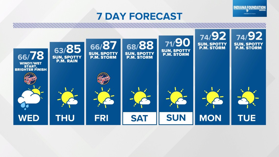
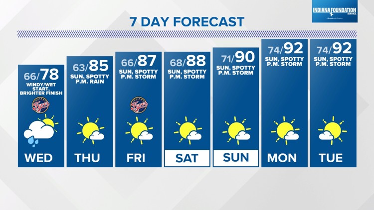
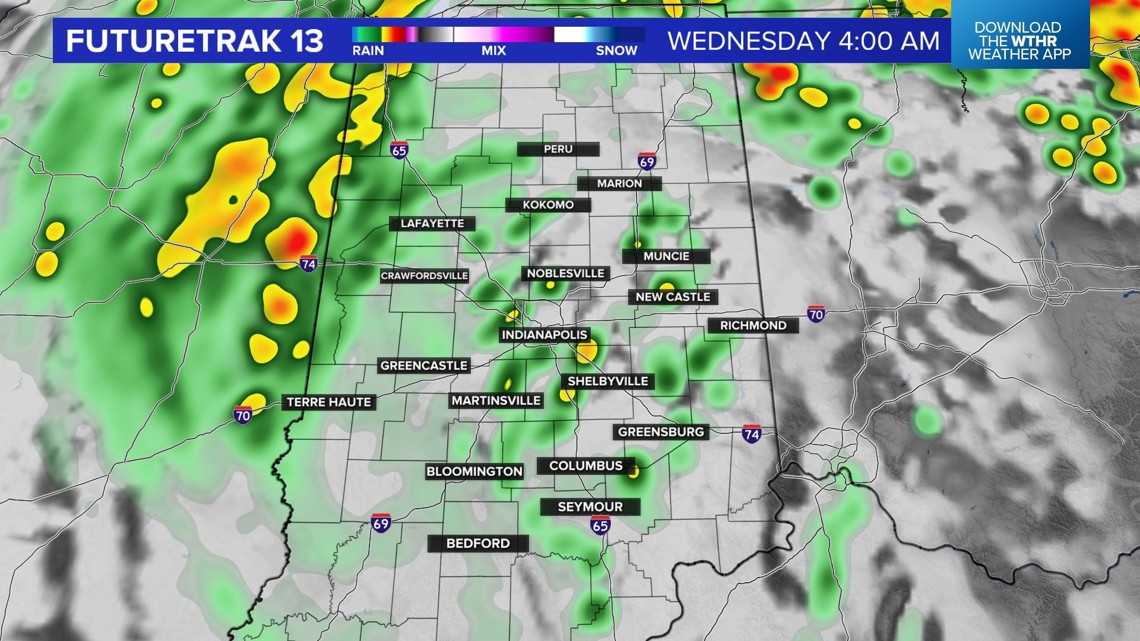
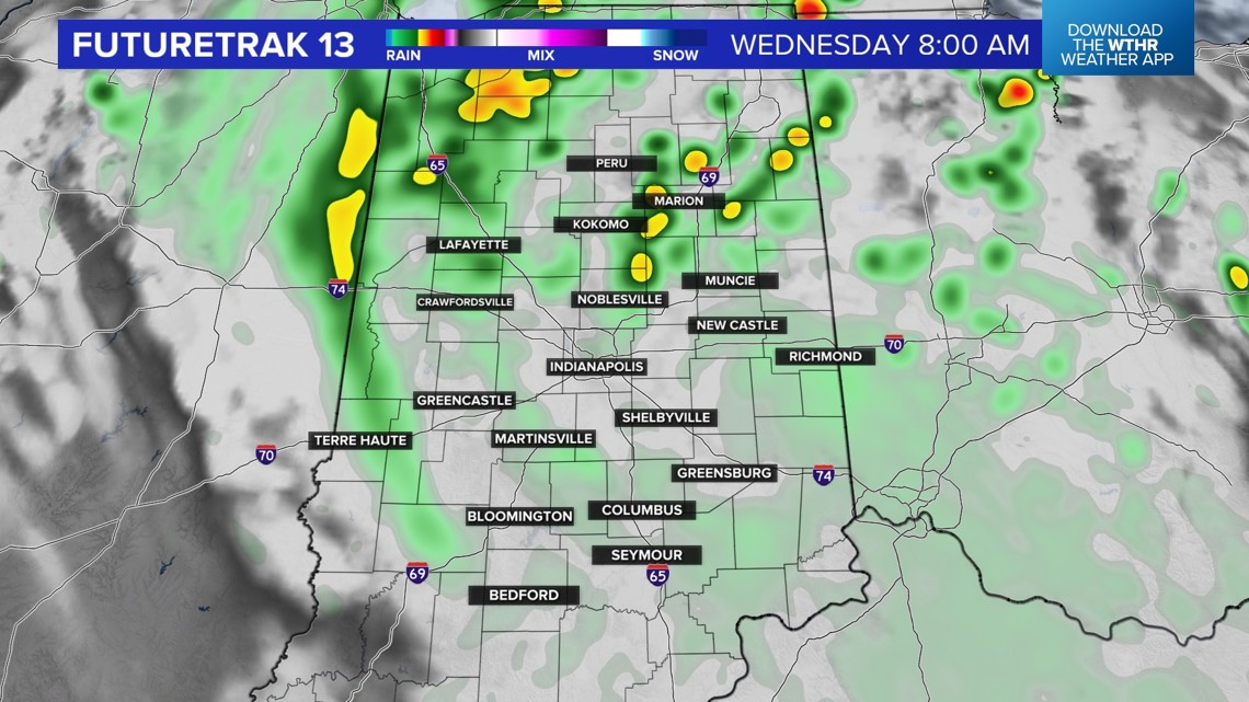
The threat of heavy rain will continue through about 2 a.m. Wednesday. Areas of flash flooding are possible and now that it is dark, that high water is difficult to see. Travel with caution overnight and early Wednesday. There will still be some showers for the Wednesday morning drive, so you might need some extra time.


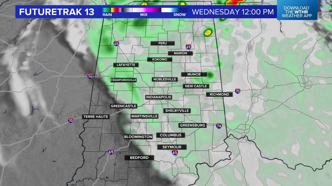
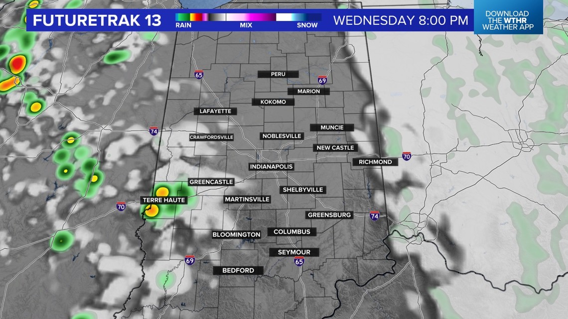
The rain will end by early afternoon and we will end Wednesday with some sun. We will still be close to this tropical system as it departs and we are expecting some strong winds. With winds gusting near 40 mph and a saturated ground, power outages are possible on Wednesday.


The weather pattern will be mainly dry and start to heat up starting Thursday. Forecast highs are in the upper 80s and lower 90s Thursday through early next week. With the higher heat and humidity, a stray afternoon storm will be possible each day, too.