INDIANAPOLIS — With the threat of severe weather on Wednesday, we thought it was a good time to remind you of some changes the National Weather Service made to severe thunderstorm warnings last summer.


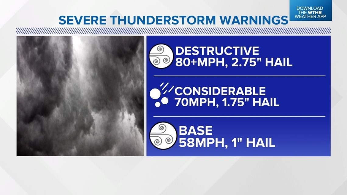
A destructive severe thunderstorm warning is issued for winds 80-plus mph and hail 2.75" in diameter, which is the size of softballs.
A considerable severe thunderstorm warning is issued with a storm with winds of 70 mph and hail 1.75" in diameter, or the size of golf balls.
A base severe thunderstorm warning is issued for winds of 58 mph and 1" hail, which is the size of a quarter.
You may also notice some different tornado warnings.
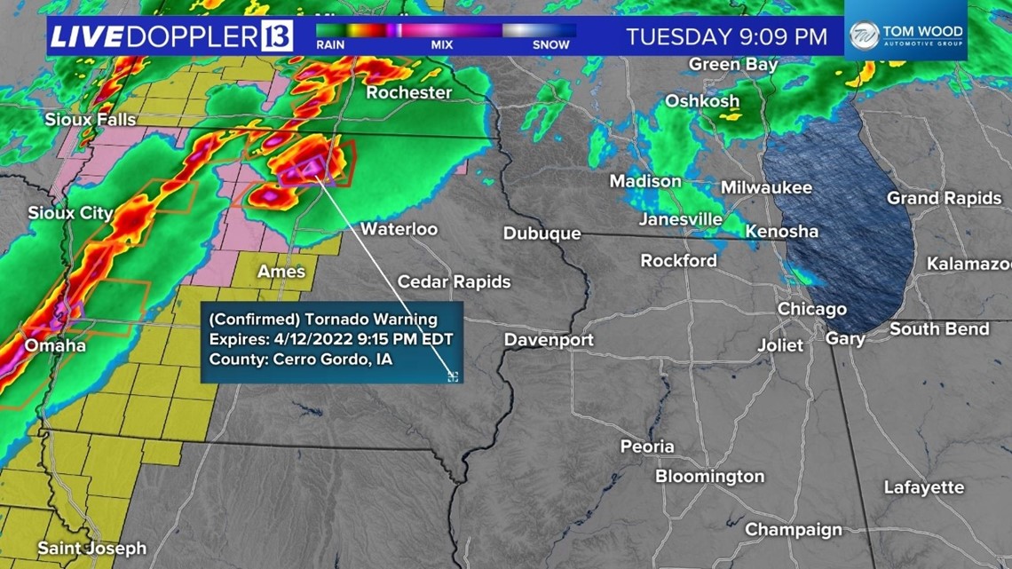
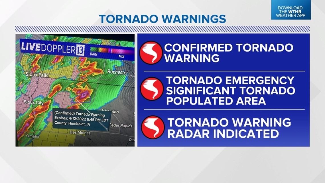
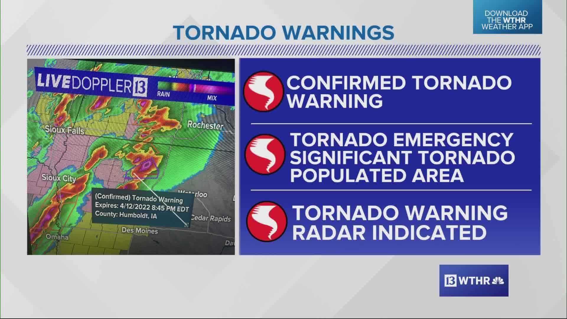
A confirmed tornado warning is issued when the National Weather Service has confirmation of a tornado. This is different from the tornado warning you might remember. That warning can be issued if a tornado is suspected or radar-indicated. The confirmed tornado warning is highlighted purple on the radar map.
There were a couple confirmed tornado warnings issued in Iowa on Tuesday night.


A tornado emergency is issued for a significant tornado moving into a populated area.


