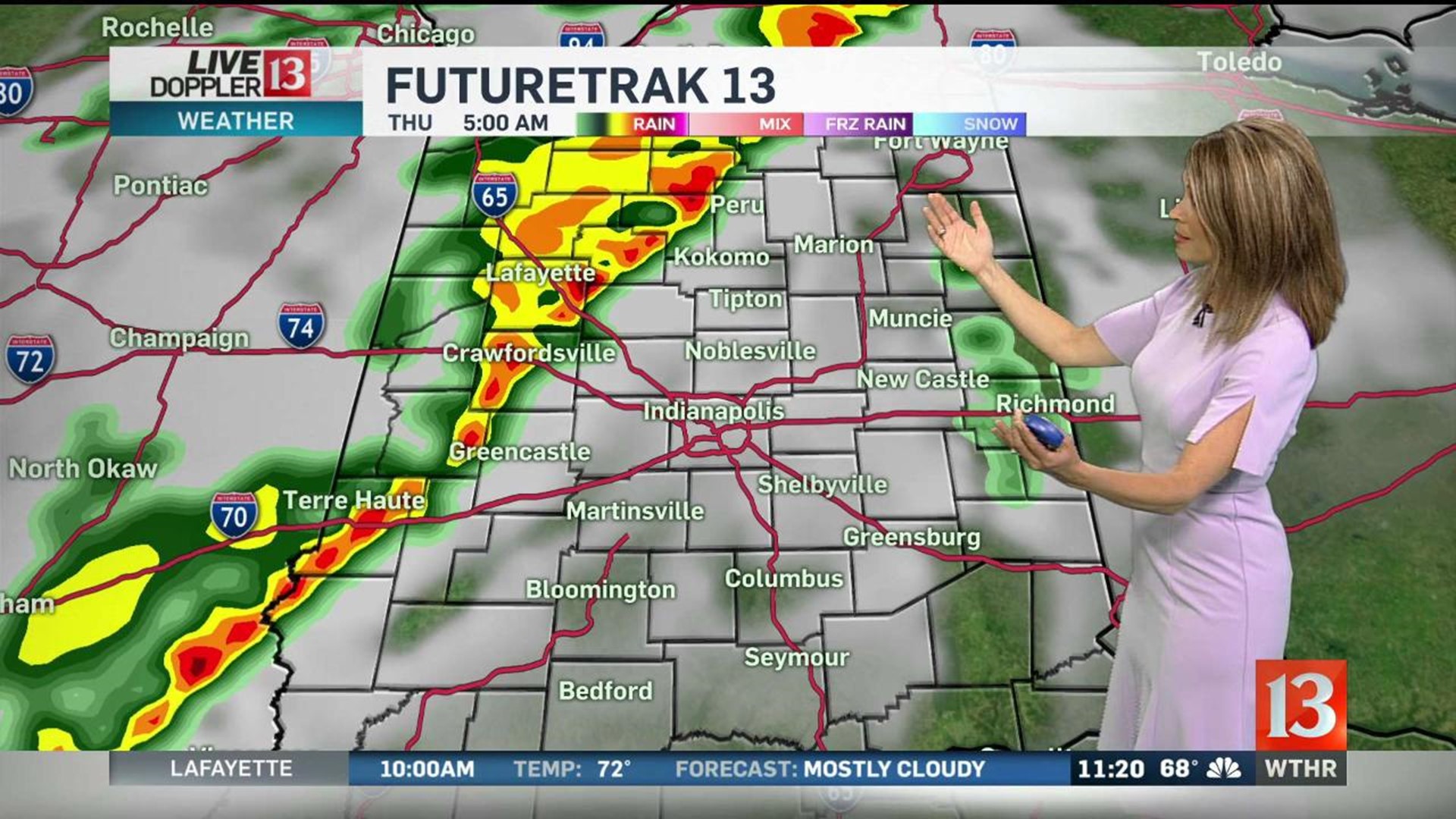
Severe weather including tornadoes is occurring across Oklahoma, Missouri and Illinois. The threat will continue through late Wednesday night and early Thursday morning. Central Indiana is now under a risk for severe storms early Thursday. Damaging winds and isolated tornadoes are possible.

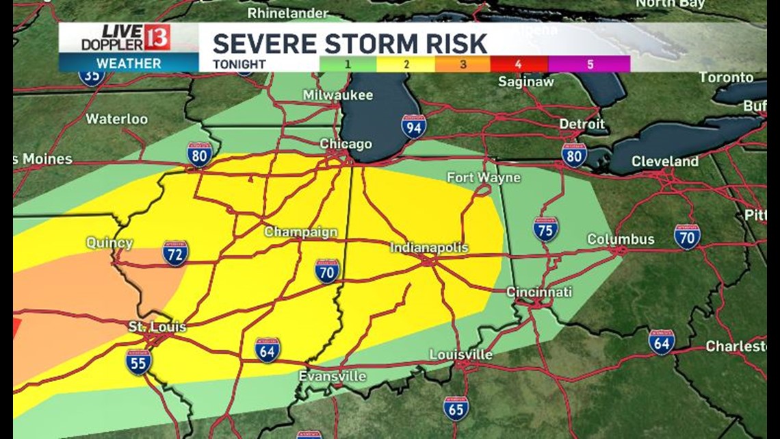
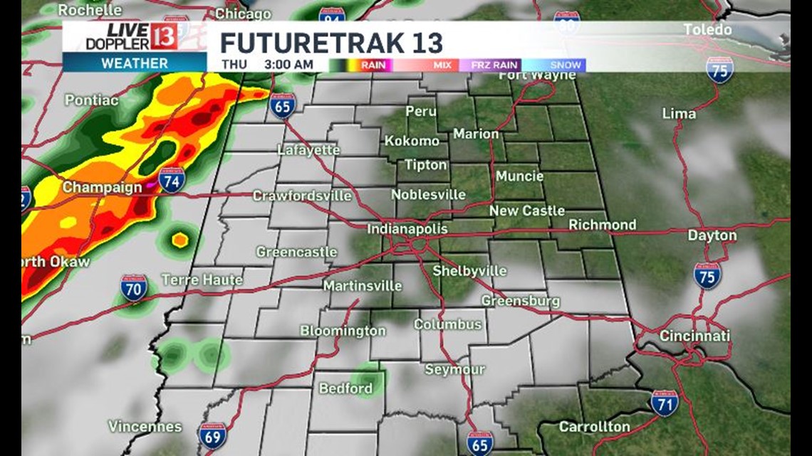
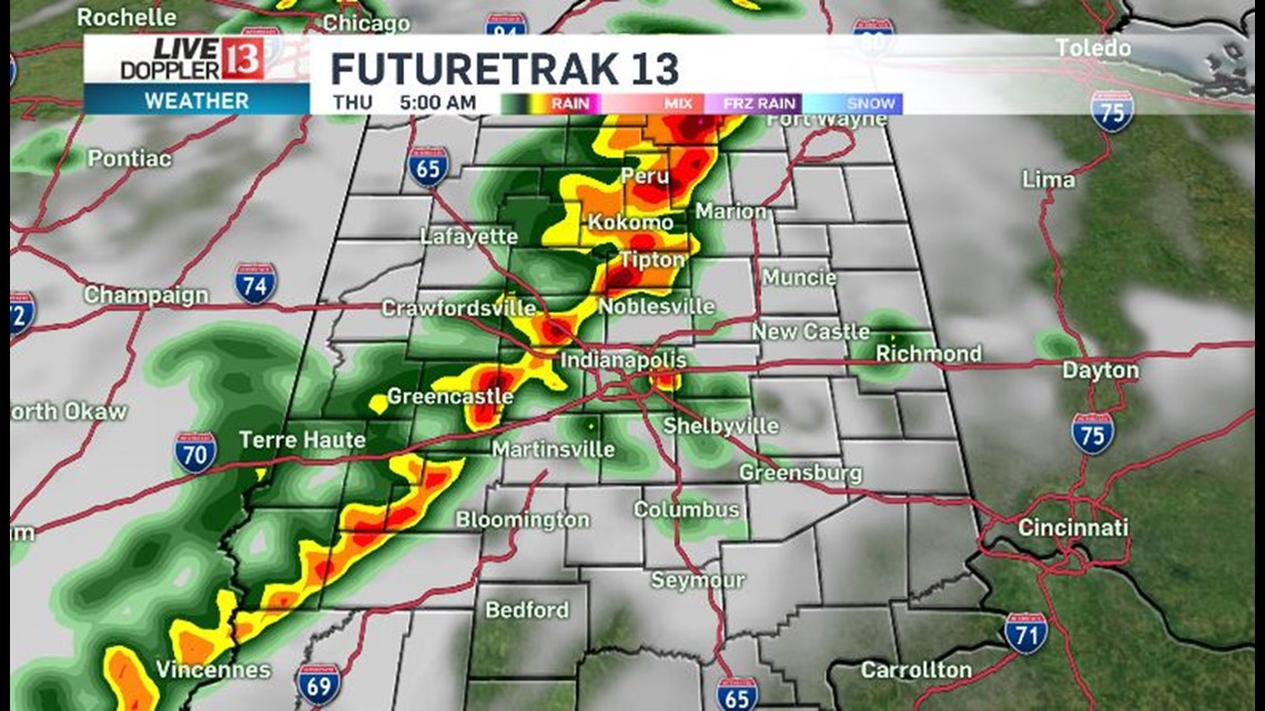
That threat moves into central Indiana around 5am Thursday. Here is the timeline.



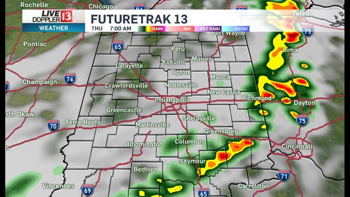
Thursday afternoon will be mainly dry, warm and muggy. There is a slight chance for an isolated storm developing with the heat of the day across the southern half of the state. Any storm that does develop may reach strong/severe limits. Afternoon temperatures will be in the lower 80s on Thursday.
Another chance for rain and storms is in the forecast for early Friday. Friday is Carb Day at IMS. After that early rain chance, Friday will be warm and muggy. Highs on Friday will reach the middle 80s.
The overall weather pattern will be warm, muggy and stormy at times through the long holiday weekend. Right now we are forecasting a dry parade on Saturday, with the chance for a few storms returning later in the afternoon on Saturday. Sunday is race day and Monday is Memorial Day. Scattered storms are in the forecast for both days. We will keep you updated on timing so you can make your weekend plans.

