INDIANAPOLIS — The morning wave of storms will continue to dwindle as it tracks from west to east.

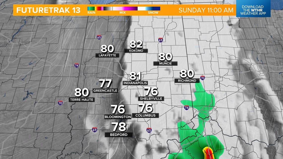
We'll see lots of dry time in the late morning and early afternoon as temperatures recover to the low 90s and heat indices reach 95-100. This daytime heating will also prime the atmosphere to support strong to severe storms as the cold front approaches in the afternoon.
The Storm Prediction Center has placed most of central and all of eastern Indiana under a level 3 of 5 for the risk of scattered severe storms. All modes of severe weather are possible including large hail (2"+), damaging wind gusts (70+ mph), and tornadoes.

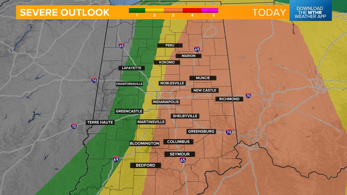

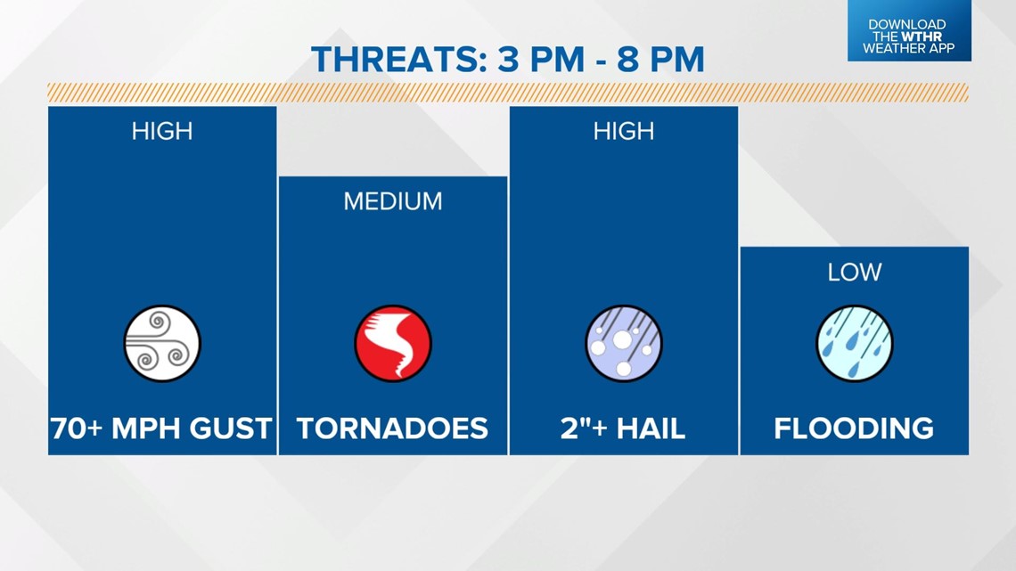
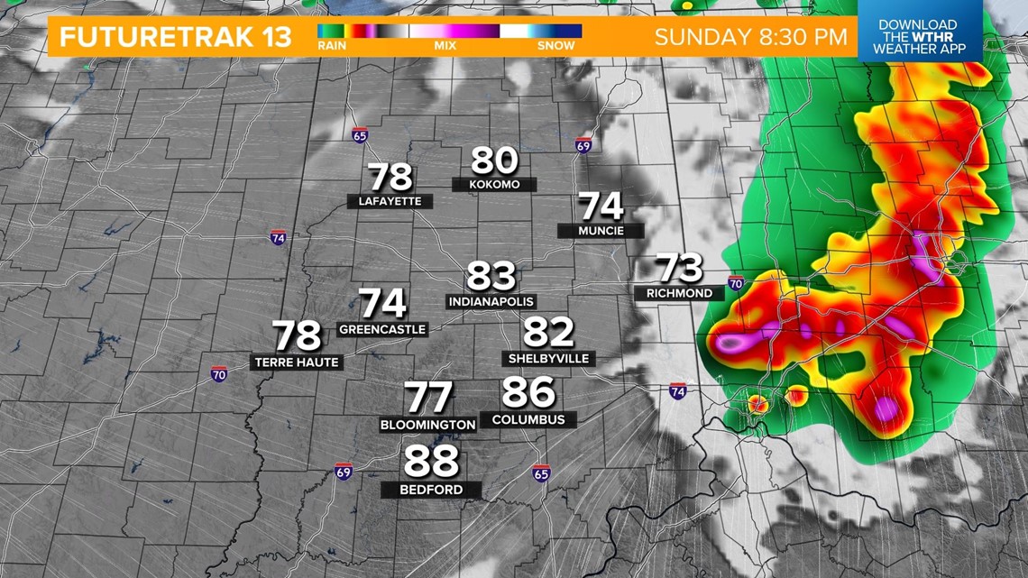
The storm threat will be highest between 3 p.m. and 8 p.m. With a very unstable atmospheric set-up, once storms begin to fire up, they will rapidly intensify. Have multiple ways to receive watch and warning information during this time frame.

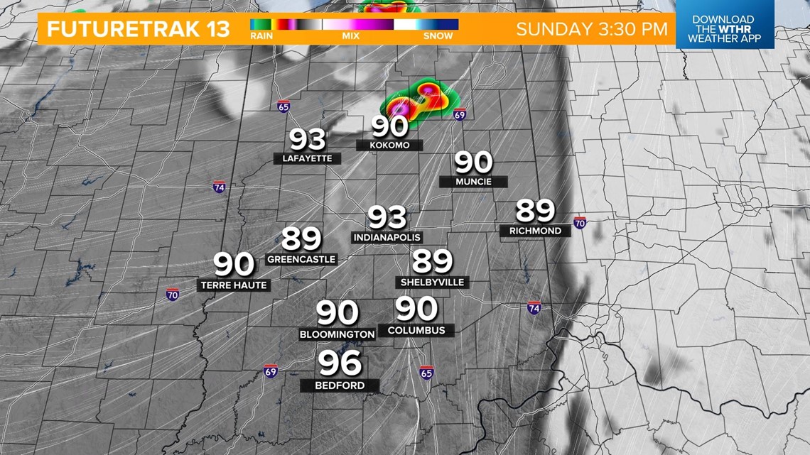

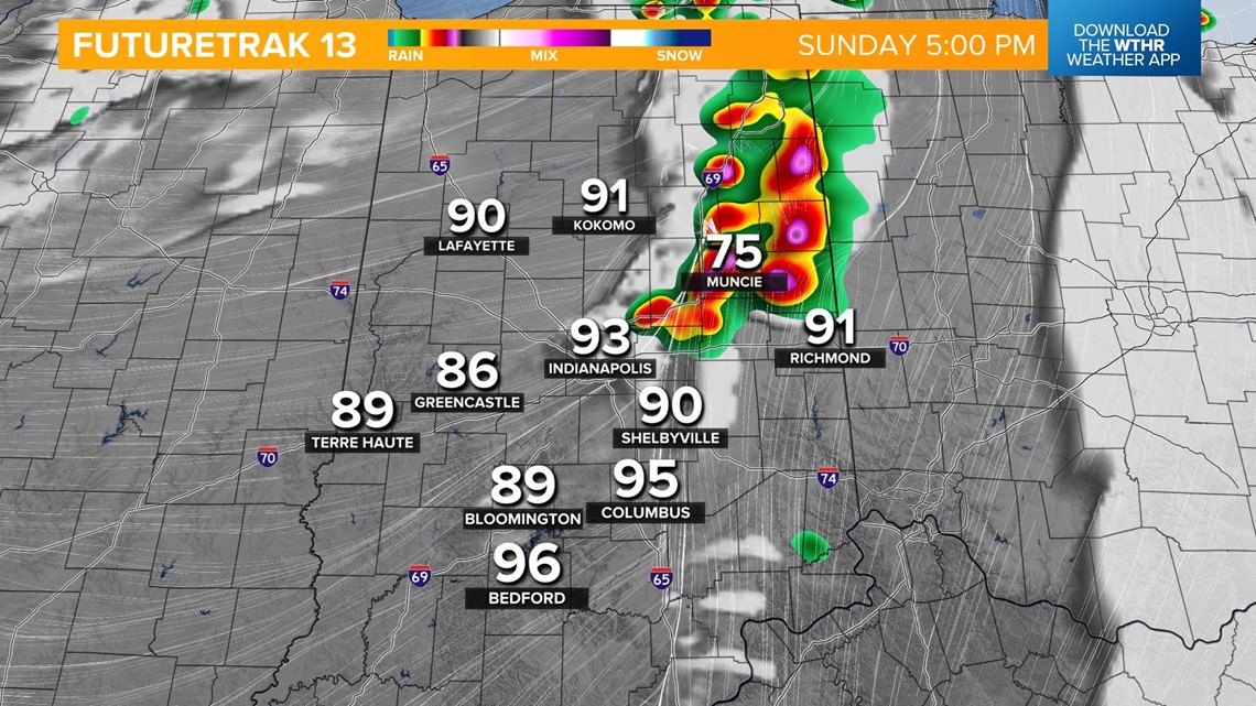

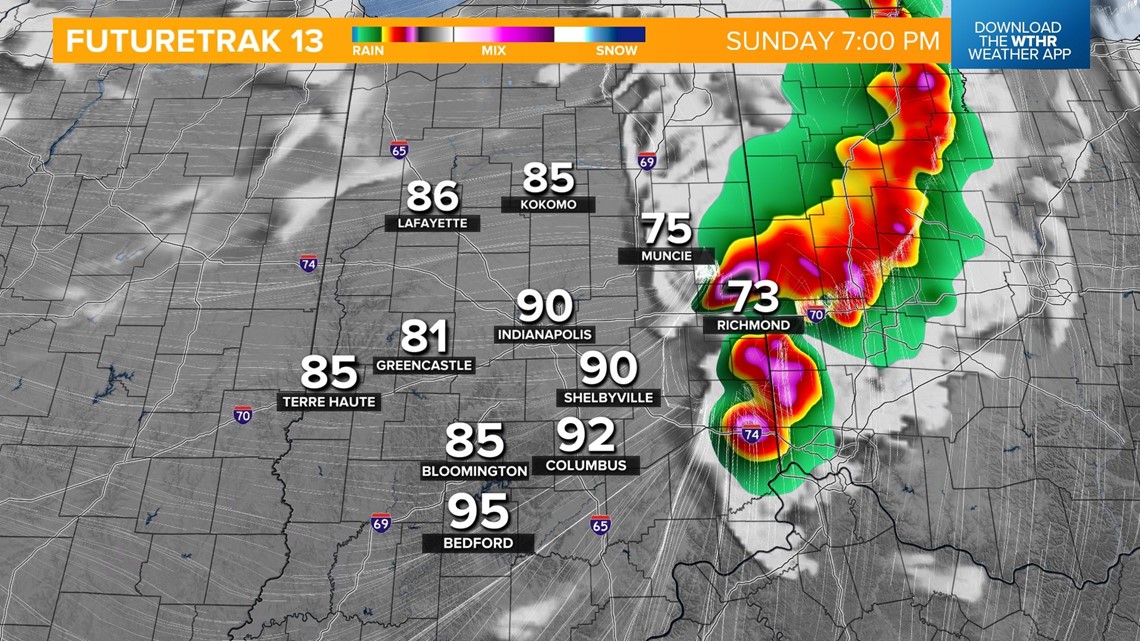
The severe threat will come to an end after 8 p.m. once this line exits the state to the east.

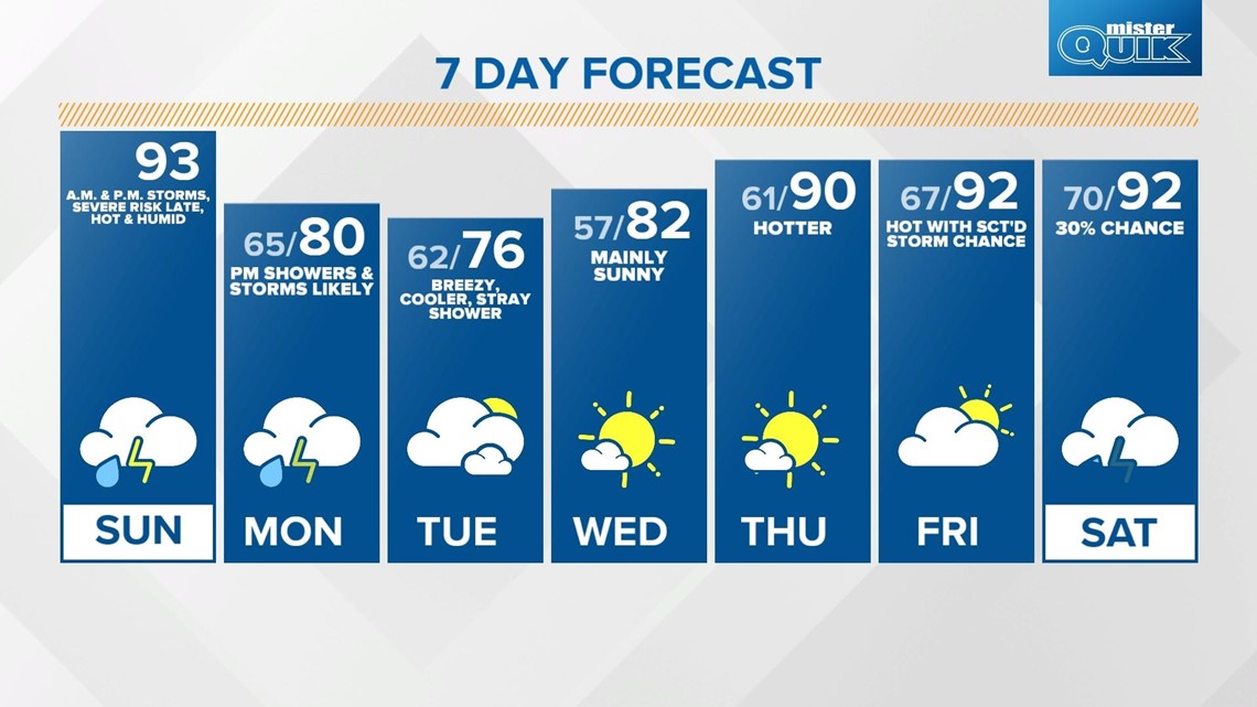
We'll see skies becoming partly cloudy overnight with lows in the mid 60s. We'll keep clouds around through Monday with wrap-around moisture from this system bringing a chance of scattered showers and isolated storms back in for Monday afternoon. Highs near 80.
Temperatures will be a bit cooler behind this system with highs in the mid 70s Tuesday. We'll see high temperatures gradually increasing back to near 90 by the end of the work week.

