INDIANA, USA — After two weeks of dry weather, we picked up a nice sip of water across central Indiana. About 98% of the state got at least a little liquid gold. We'll pick up any water we can get during the month of August. So much much did we get? We compiled a list of over 100 towns across Indiana and how much rain they picked up.
Tap HERE to see when the next rain chance will be across central Indiana.
(Note: How much you got at your house can differ from the official amount received by the National Weather Service. Sometimes, we can see an inch difference from one side of town to the other.)


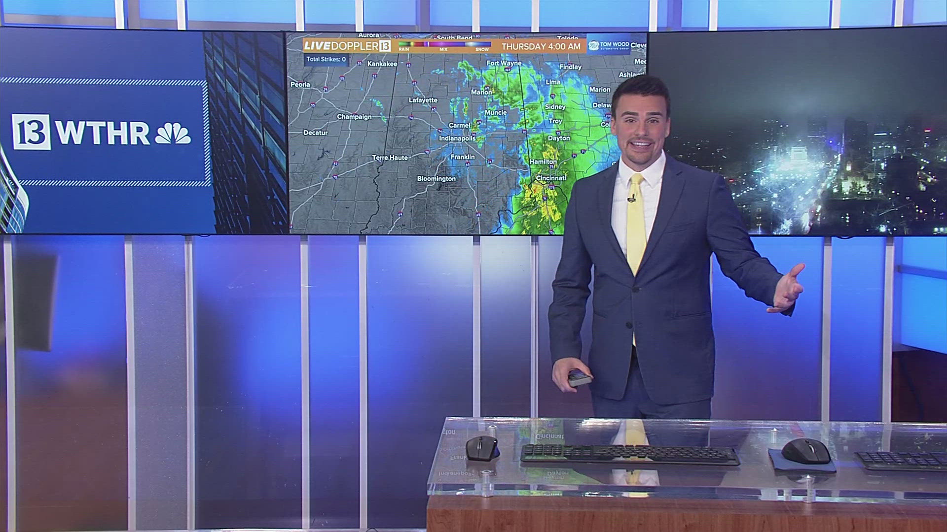
This map shows the radar estimations across Indiana. There were some particularly heavy bands of rain around Indianapolis and some even bigger downpours to the south (Bloomington-Columbus-Bedford-Seymour) and to the northwest (Lafayette-Attica). Scroll down for zoomed in maps across parts of Indiana.
The rain list
Here we go. We have them ranked from the highest totals to the lowest totals:
- Butlerville (just east of North Vernon) -- 3.24"
- Kokomo -- 3.09"
- Freetown -- 3.05"
- Greensburg --3.00"
- Butlerville -- 2.80"
- North Vernon -- 2.80"
- Burlington -- 2.79"
- Attica -- 2.75"
- Mitchell -- 2.47"
- Columbus -- 1.99"
- Seymour -- 1.97"
- Speedway -- 1.92"
- Indianapolis (downtown) -- 1.85"
- Whitestown -- 1.70"
- Bedford -- 1.66"
- Bloomington -- 1.66"
- Avon -- 1..55"
- Spencer -- 1.53"
- Patoka Lake -- 1.46"
- New Palestine -- 1.42"
- Lafayette -- 1.40"
- Broad Ripple -- 1.32"
- Bowling Green -- 1.30"
- Delphi -- 1.30"
- Lake Monroe -- 1.27"
- Rushville -- 1.27"
- Zionsville -- 1.27"
- Edinburgh -- 1.20"
- Scottsburg -- 1.20"
- Millhousen -- 1.19"
- Greenwood -- 1.10"
- Brownsburg -- 0.99"
- Lebanon -- 0.98"
- Noblesville -- 0.96"
- Cumberland -- 0.95"
- Danville -- 0.95"
- Greendale -- 0.93"
- Carmel -- 0.92"
- Ellettsville -- 0.92"
- Brookville -- 0.91"
- Fishers -- 0.85"
- Indianapolis (airport) -- 0.82"
- Oldenburg -- 0.82"
- Plainfield -- 0.82"
- Marion -- 0.81"
- Fortville -- 0.80"
- McCordsville -- 0.79"
- Monticello -- 0.79"
- Bluffton -- 0.77"
- Greenfield -- 0.72"
- New Albany -- 0.71"
- Pendleton -- 0.71"
- Shelbyville -- 0.70"
- Angola -- 0.68"
- Cicero -- 0.68"
- Westfield -- 0.68"
- Crawfordsville -- 0.66"
- Batesville -- 0.63"
- Jasper -- 0.61"
- Tipton -- 0.59"
- Muncie -- 0.56"
- Greencastle -- 0.55"
- Jamestown 0.53"
- Frankfort -- 0.52"
- Bargersville -- 0.51"
- Plymouth -- 0.50"
- Chesterton -- 0.45"
- Valparaiso -- 0.45"
- Cambridge City -- 0.44"
- Versailles -- 0.44"
- Anderson -- 0.43"
- Connersville -- 0.43"
- Huntington -- 0.43"
- Rensselaer -- 0.43"
- Warsaw -- 0.42"
- Clarksville -- 0.41"
- Jeffersonville -- 0.41"
- Centerville / Economy -- 0.39"
- Sellersburg -- 0.37"
- Fort Wayne -- 0.34"
- Terre Haute -- 0.34"
- Goshen -- 0.32"
- Glenwood -- 0.30"
- Dale -- 0.29"
- Portland -- 0.28"
- Franklin -- 0.25"
- Springport -- 0.25"
- Madison -- 0.24"
- Richmond -- 0.24"
- Granger -- 0.21"
- Merrillville -- 0.21"
- New Castle -- 0.21"
- Hagerstown -- 0.20"
- Loogootee -- 0.17"
- Gary -- 0.15"
- Corydon -- 0.14"
- Mishawaka -- 0.14"
- Mount Vernon -- 0.13"
- South Bend -- 0.13"
- Elkhart -- 0.12"
- Winchester -- 0.08"
- Evansville (west side of town) -- 0.04"
- Newburg -- 0.01"
Northern Indiana
Most of the rainfall was lighter for the northern half of the state. There was a heavy pocket of rain just south of "the region" near Lafayette and Attica (1-4").


Central Indiana
The rain across central Indiana, especially north of Highway 40, fell in two waves. The first hit Thursday evening. The second one hit in the early morning hours with some rumbles of thunder.


Southern Indiana
It was more feast or famine in southern Indiana. Areas within 30-40 miles of Lake Monroe picked up some good rainfall. One to 4 inches of rain fell around the Bloomington-Columbus-Bedford-Seymour area.
Farther south and west, the rain was lighter. Barely a trace was reported around parts of Evansville. Other areas, just east of Evansville along the Ohio River, stayed dry.


How are we doing?
For the month of August, as of Aug. 16, we should have about an inch and a half on average. With this additional rainfall, Indianapolis now sits at 1.49". We are good. This rain was needed, and it caught us right up.
There are a few places in southern Indiana that could use a bit more, but there are no drought conditions across the state as of now.
Looking ahead
We have more scattered showers possible in the afternoons on Friday, Saturday and Sunday. These will be very hit-or-miss. These will be daytime heat-driven. We have colder air above us, helping to produce spotty rain chances, mixed with sunshine, the next few days.


