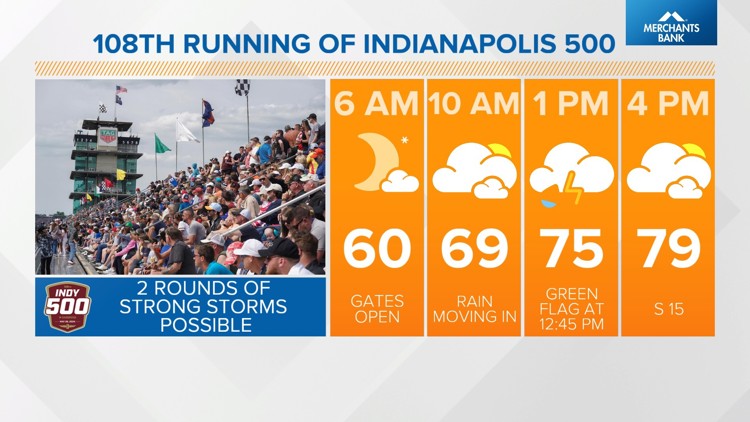
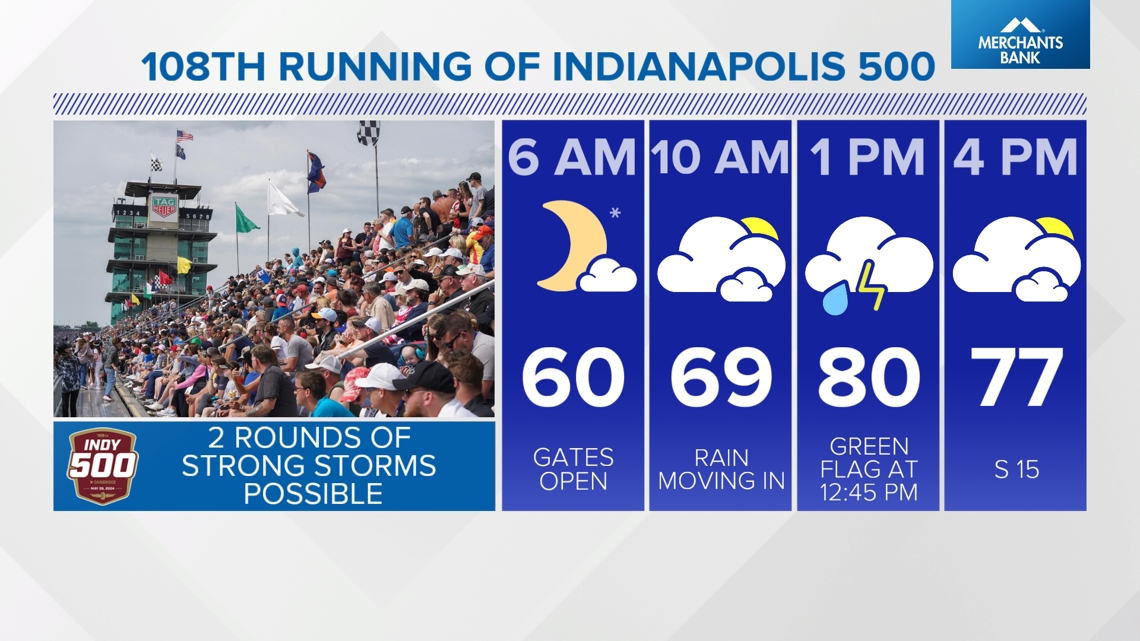
INDIANA, USA — The 108th Running of the Indianapolis 500 presented by Gainbridge is Sunday, May 26, and there are two rounds of storms in the forecast for Race Day.
Key takeaways
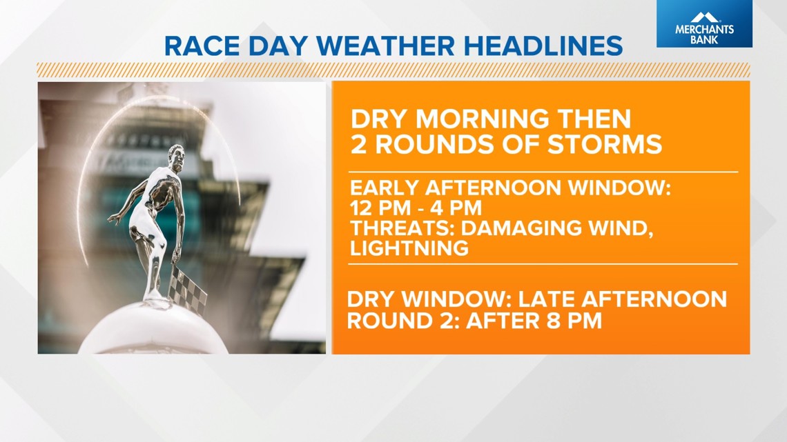
- Two rounds of rain/thunderstorms are looking likely on Race Day
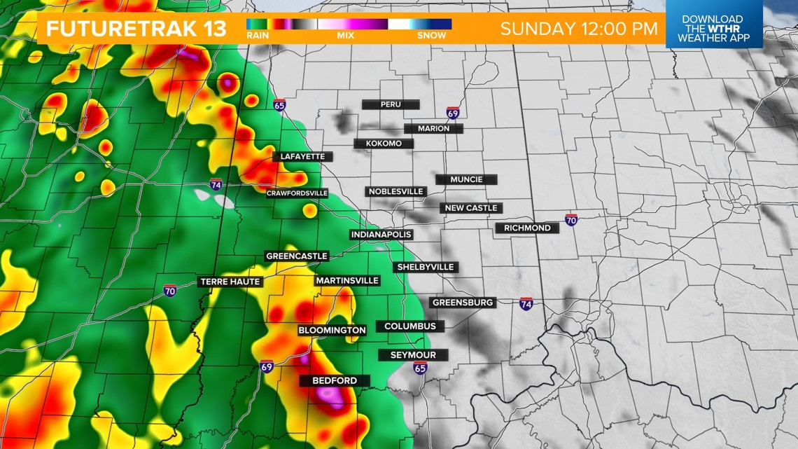
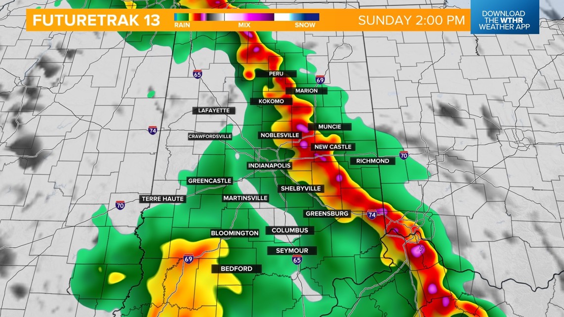
- Round one expected in the early afternoon could impact the beginning of the race and could bring severe threats
- An extended break in the rain is possible on Race Day, perhaps long enough for an "official" (101 laps) race, but there's still uncertainty on exact timing of rain/storms
- Round two will be closer to sunset and bring another threat of severe weather with damaging wind gusts as the primary threat
For the most updated Indianapolis 500 forecast, tap HERE.
Sunday - Indianapolis 500 Race Day
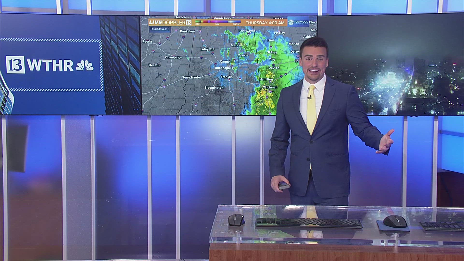
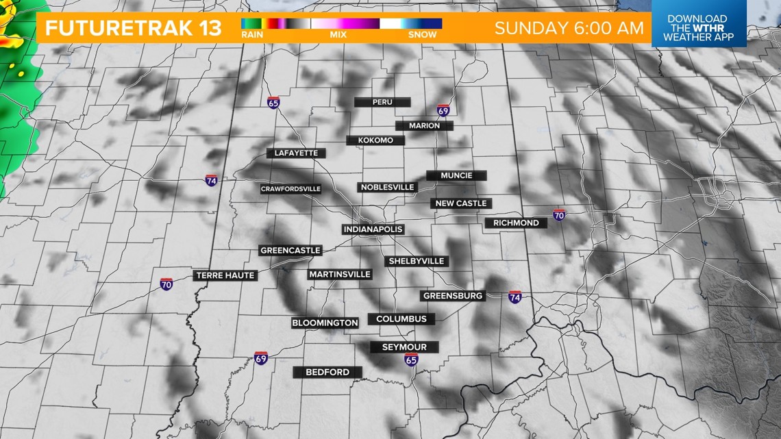
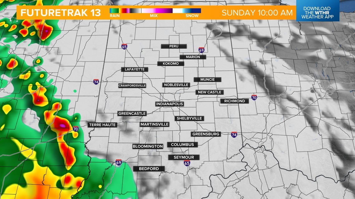
- A line of storms in western Illinois early this morning will move into western Indiana by 10 a.m.
- We expect that line of rain and storms into the central part of the state before noon. This line may contain heavy rain, lightning and strong winds.
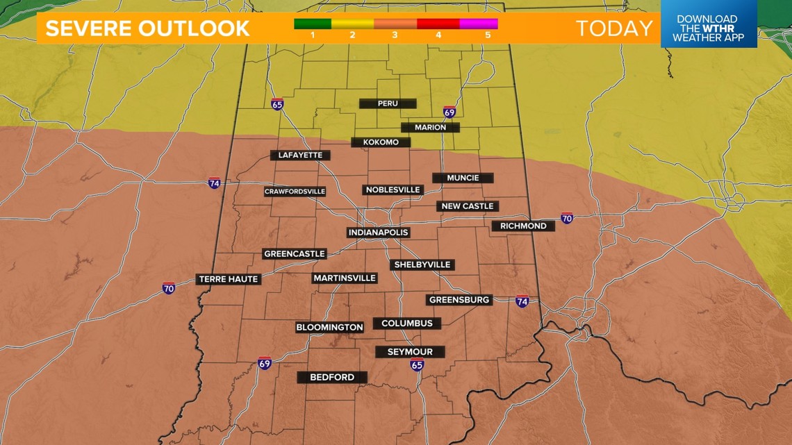
- Remember, we are under a threat of severe weather.
- Humid highs in the low 80s.
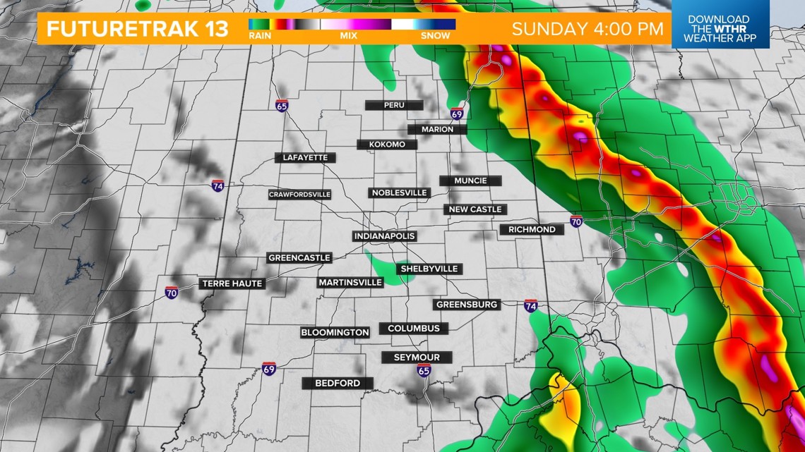
- We do expect some dry time from about 3 p.m. to 7 p.m. Stay tuned for updates.
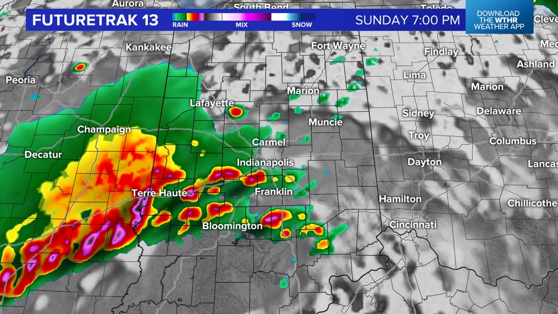
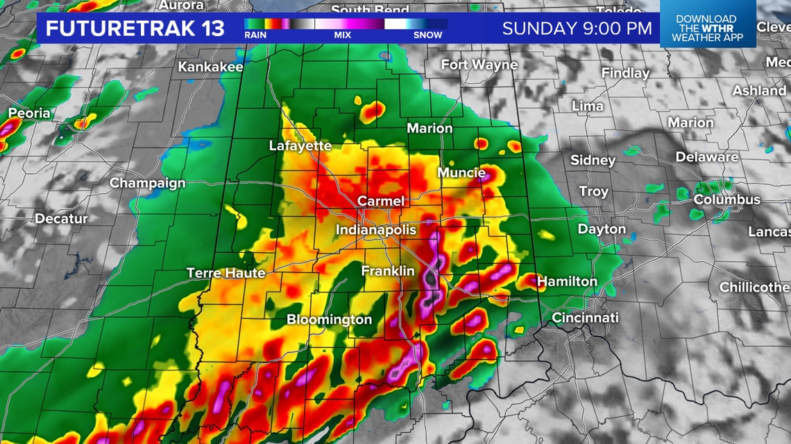
- We also expect a second wave of storms that could be severe later this evening.


Round one:





Round two:
- Most likely after 8 p.m.-2 a.m. Monday
- Damaging wind gusts and heavy rainfall over an already-saturated ground, leading to localized flooding



Looking ahead:
- A stray storm is possible for Memorial Day, but there will also be some sun with highs in the 70s.
- Most of next week will be mild with highs in the 70s.


