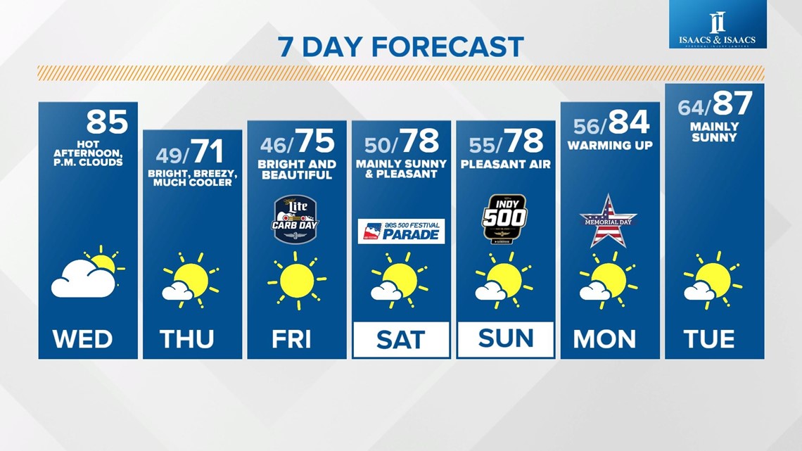
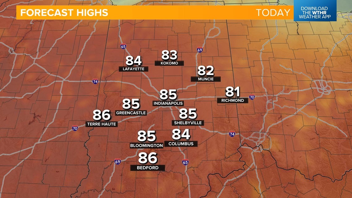
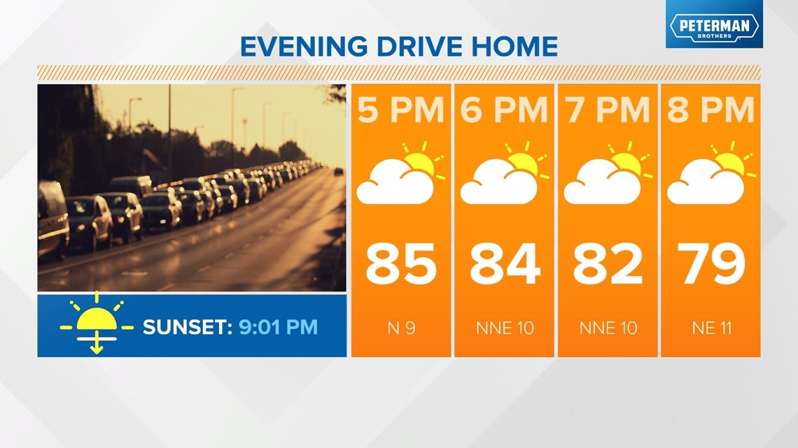
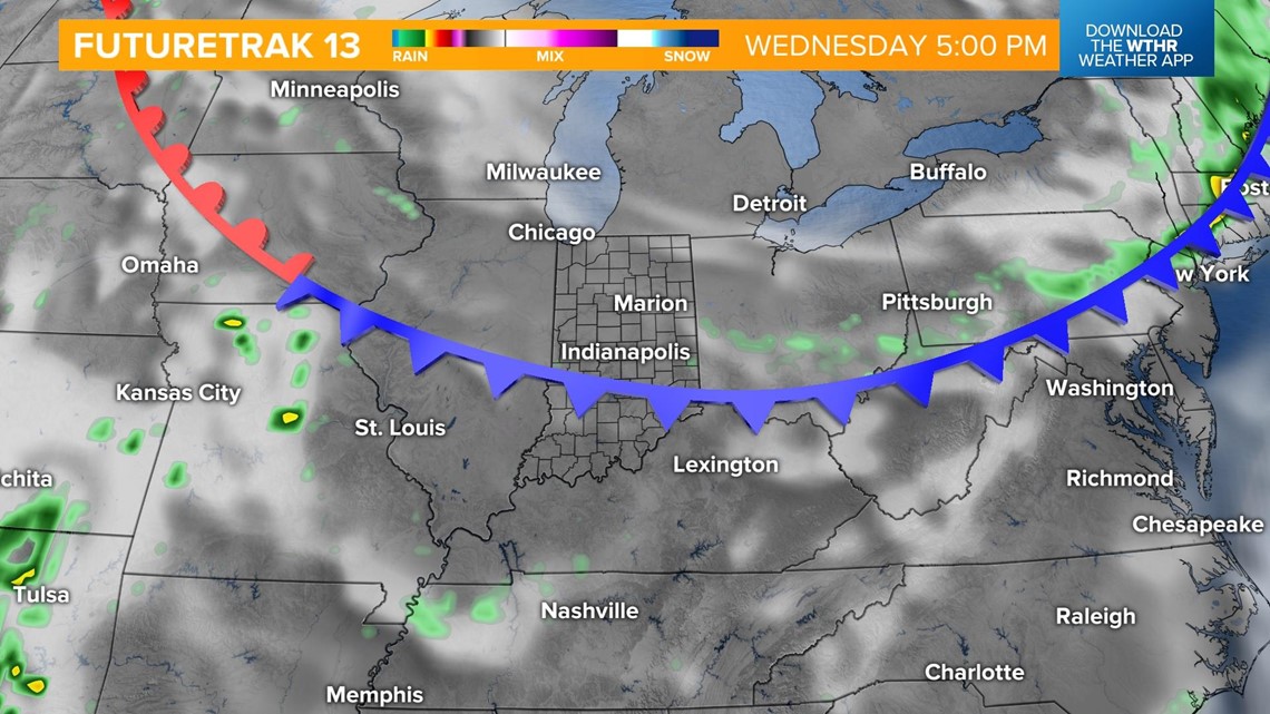
INDIANAPOLIS — We'll see a quick warming trend today, with high temperatures in the mid-80s ahead of a cold front that is set to pass through this evening.

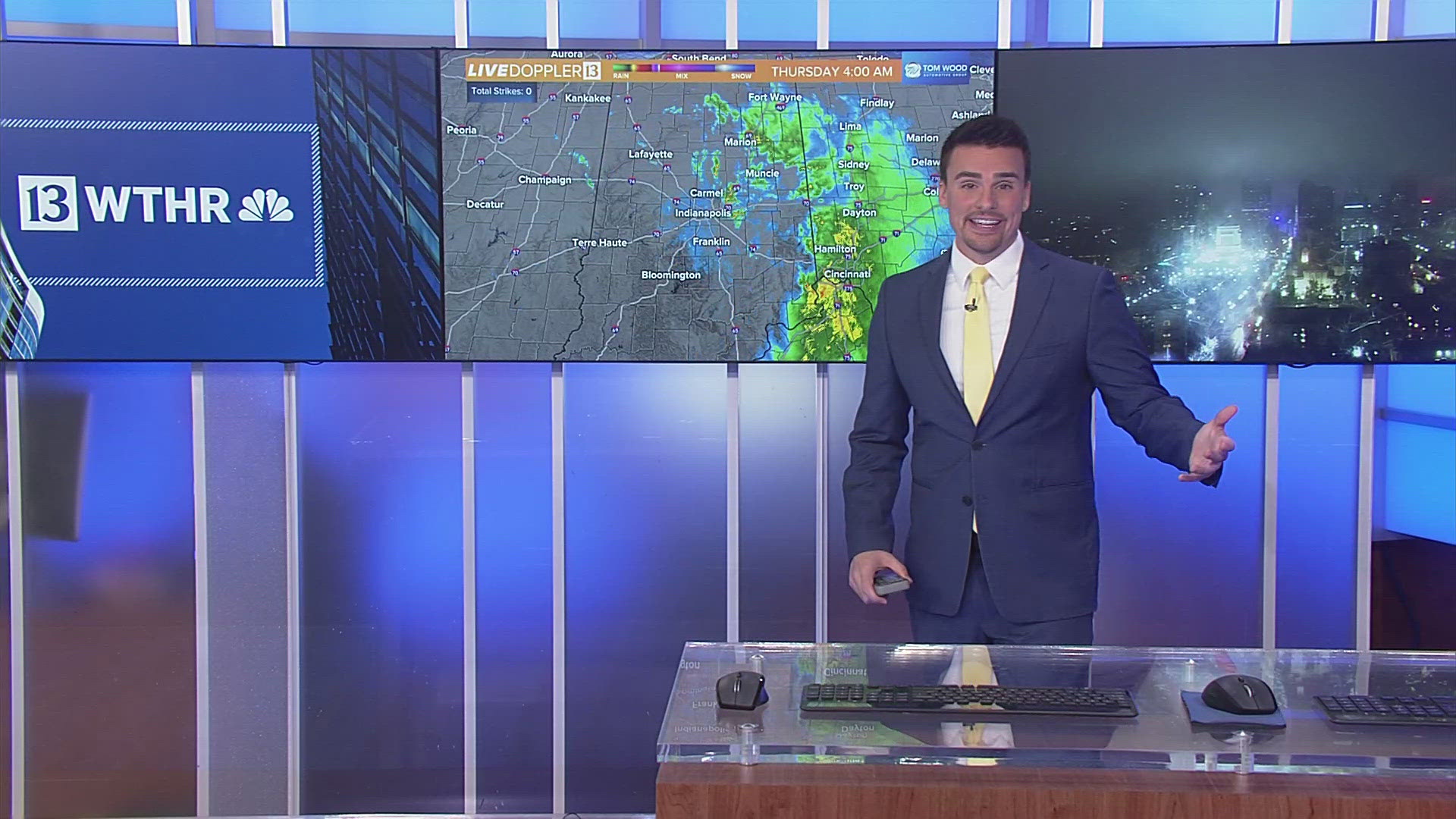
We'll see a few clouds develop along this boundary, but limited moisture with this system will keep dry conditions around. Skies will clear in the evening as winds shift from the northeast ushering in a cooler, drier air mass.


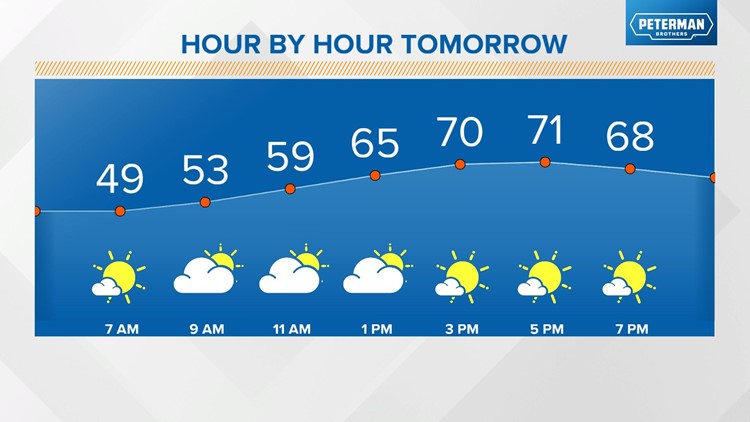
This cooler air mass settles in tomorrow, with morning lows in the upper 40s and highs in the low 70s.

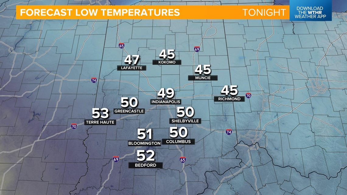


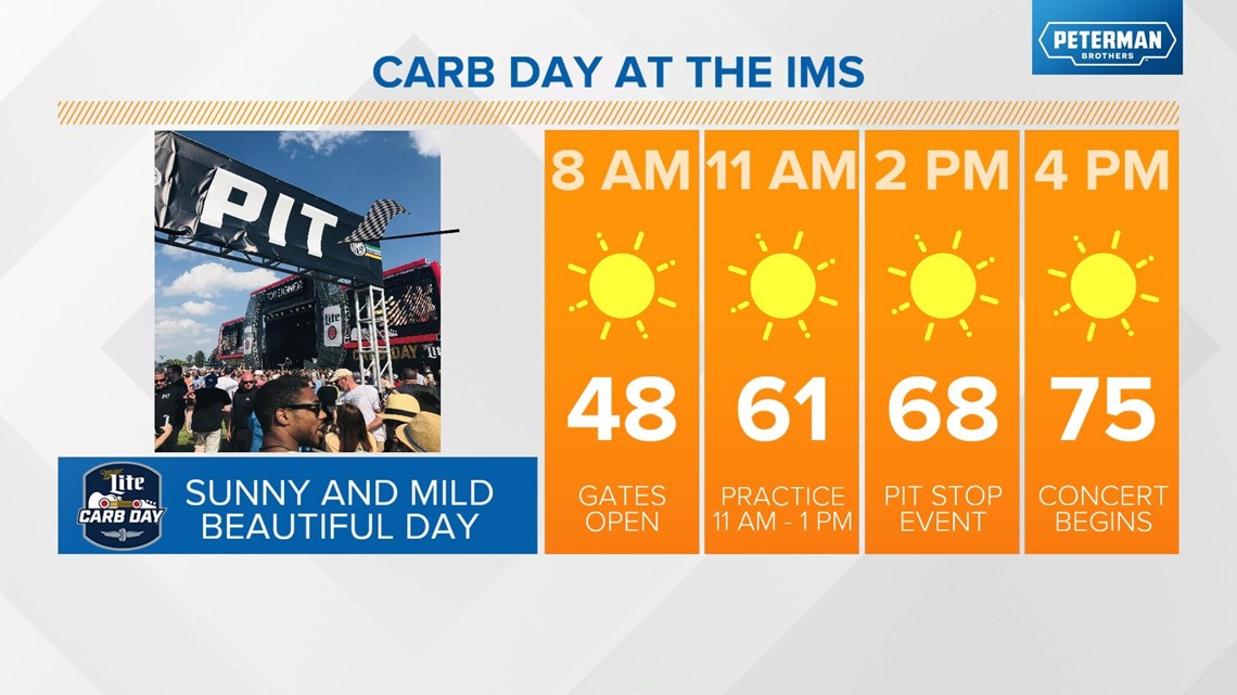
It'll be a cool start to Carb Day, with morning lows Friday in the mid-40s. Pleasant conditions continue throughout the day, with seasonal highs in the mid-70s with a mix of sun and clouds.

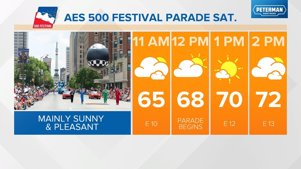
Temperatures will begin to warm back up heading into the weekend. We'll still be under a relatively dry air mass, with comfortable dew points for the AES 500 Festival Parade that will kickoff at noon Saturday. Skies remain mostly sunny. Highs Saturday eventually warm into the upper 70s, which is exactly where we should be for average high temperatures this time of year.

We're watching the outlook for race weekend closely as an upper level low pressure system will be meandering across the southeast portion of the country. Models are starting to agree more that a dome of high pressure will set up across the New England region and act as a "blocking" mechanism, keeping that low pressure and any rain associated with it to the south of central Indiana.

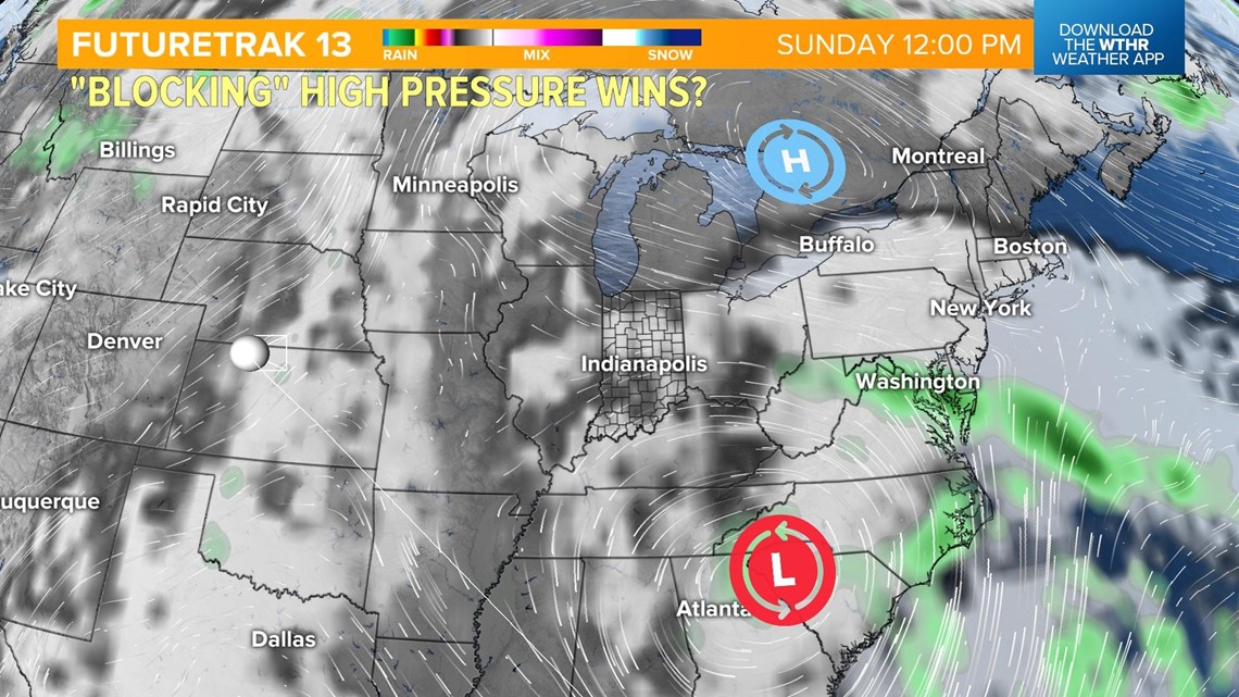
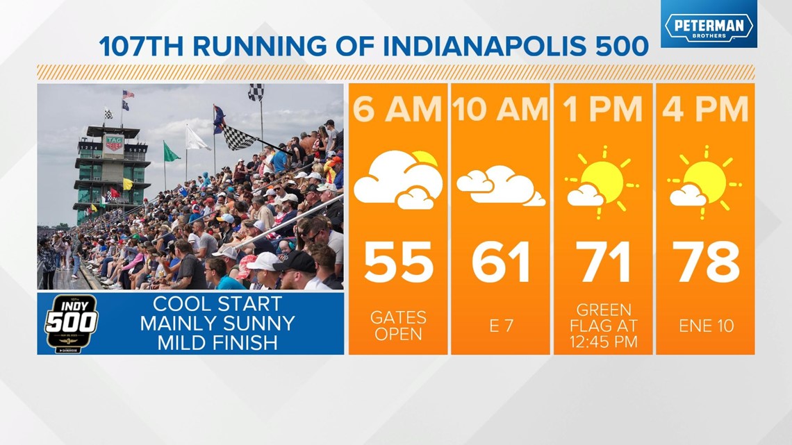
Due to this setup, race day and Memorial Day are looking dry for the state. Temperatures will likely stay in the upper 70s for race day and warm back into the 80s for the first part of next week.

