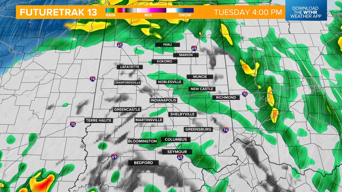
INDIANAPOLIS — Indiana is now in the "warm sector" of a strong low pressure system keeping a steady rain around through the afternoon as temperatures warm into the mid to upper 40s.

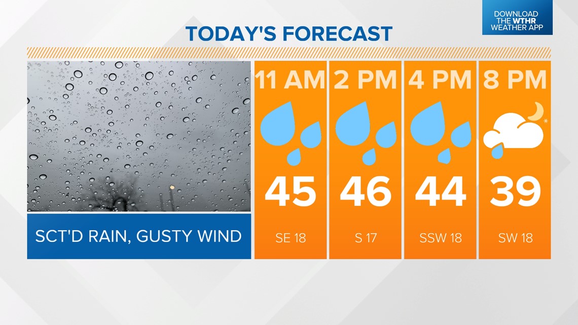
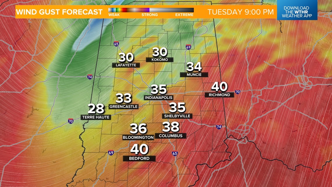
We'll see these showers dwindle a bit during the evening rush hour, but wind gusts will intensify at this time with 30-40 mph gusts possible this evening and during the overnight hours.


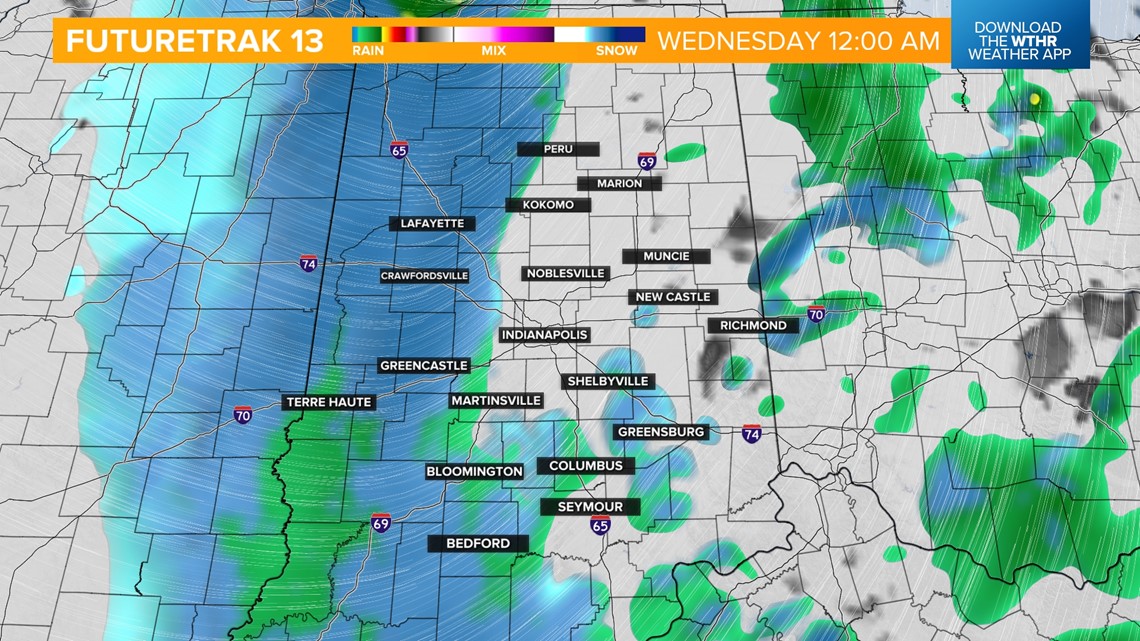
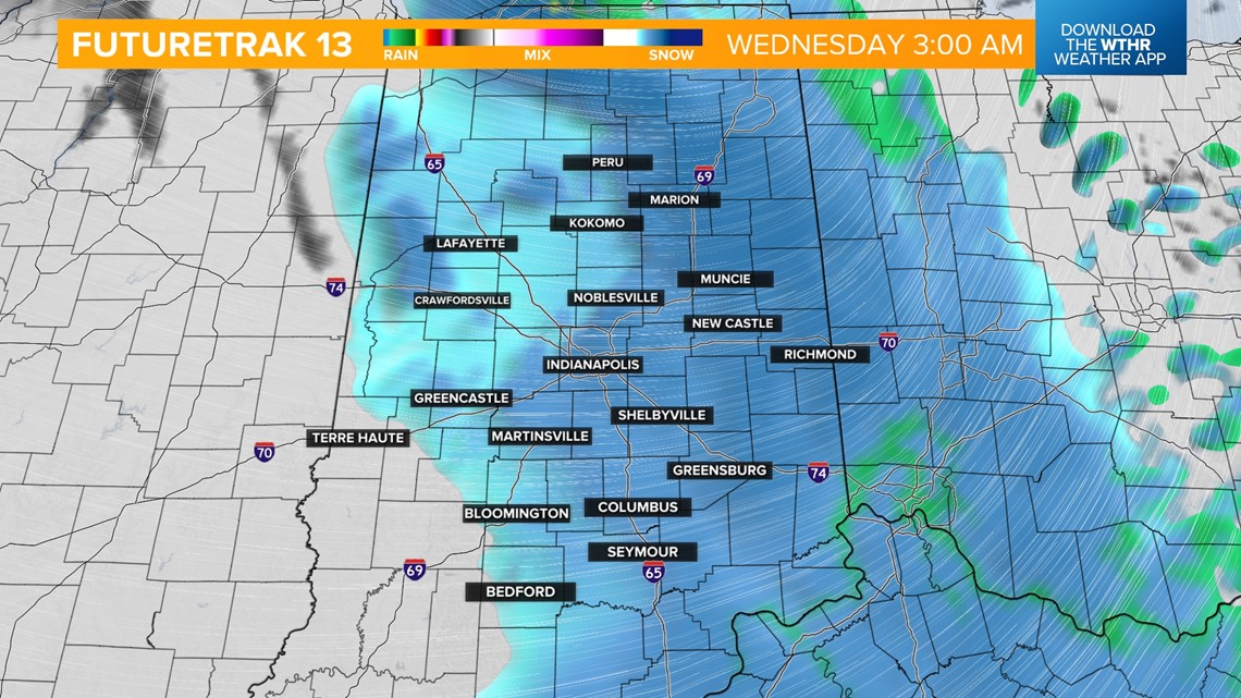
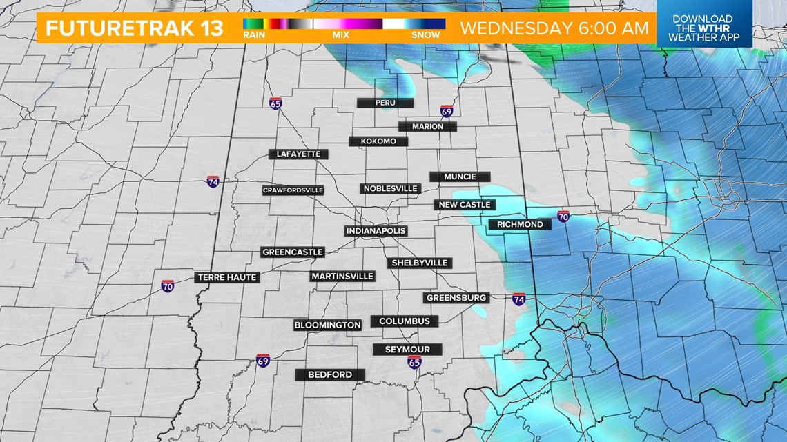
The core of the storm system will lift northeast late tonight, allowing for colder air to wrap around the backside of this system. Remnant moisture will transition into mainly snow after midnight as temperatures drop below freezing. This will also lead to refreezing on roads that were wet. Additional light snow accumulations from 0.5 inches up to 1 inch are possible before snow exits before sunrise.




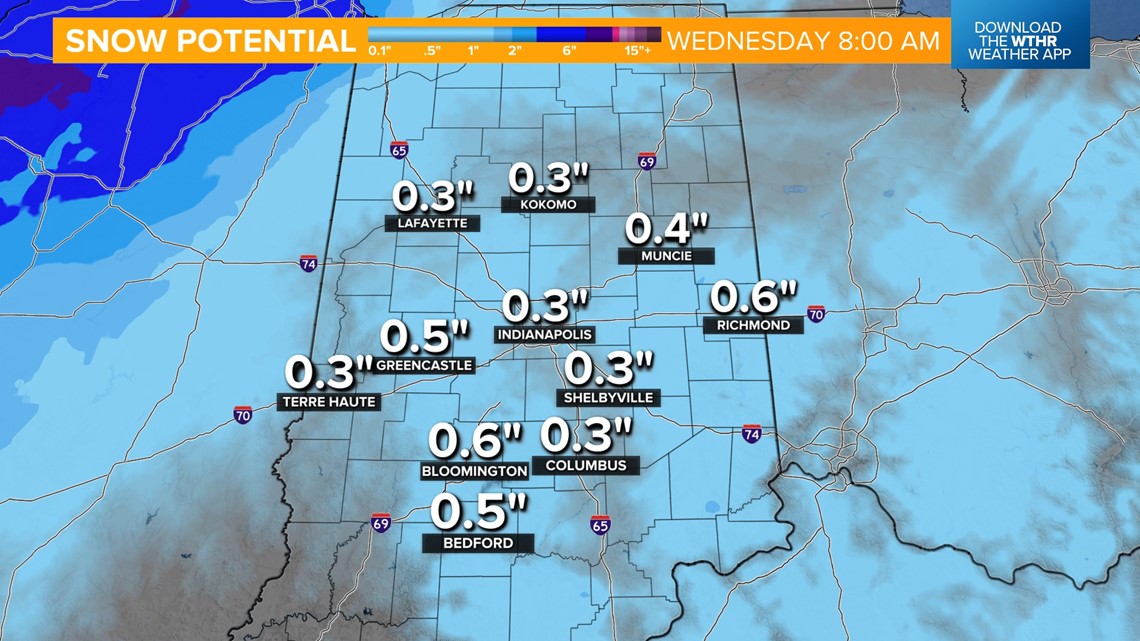
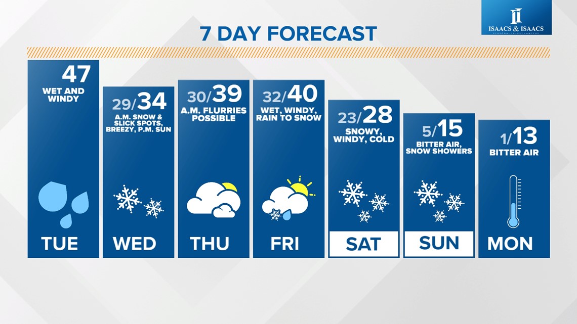
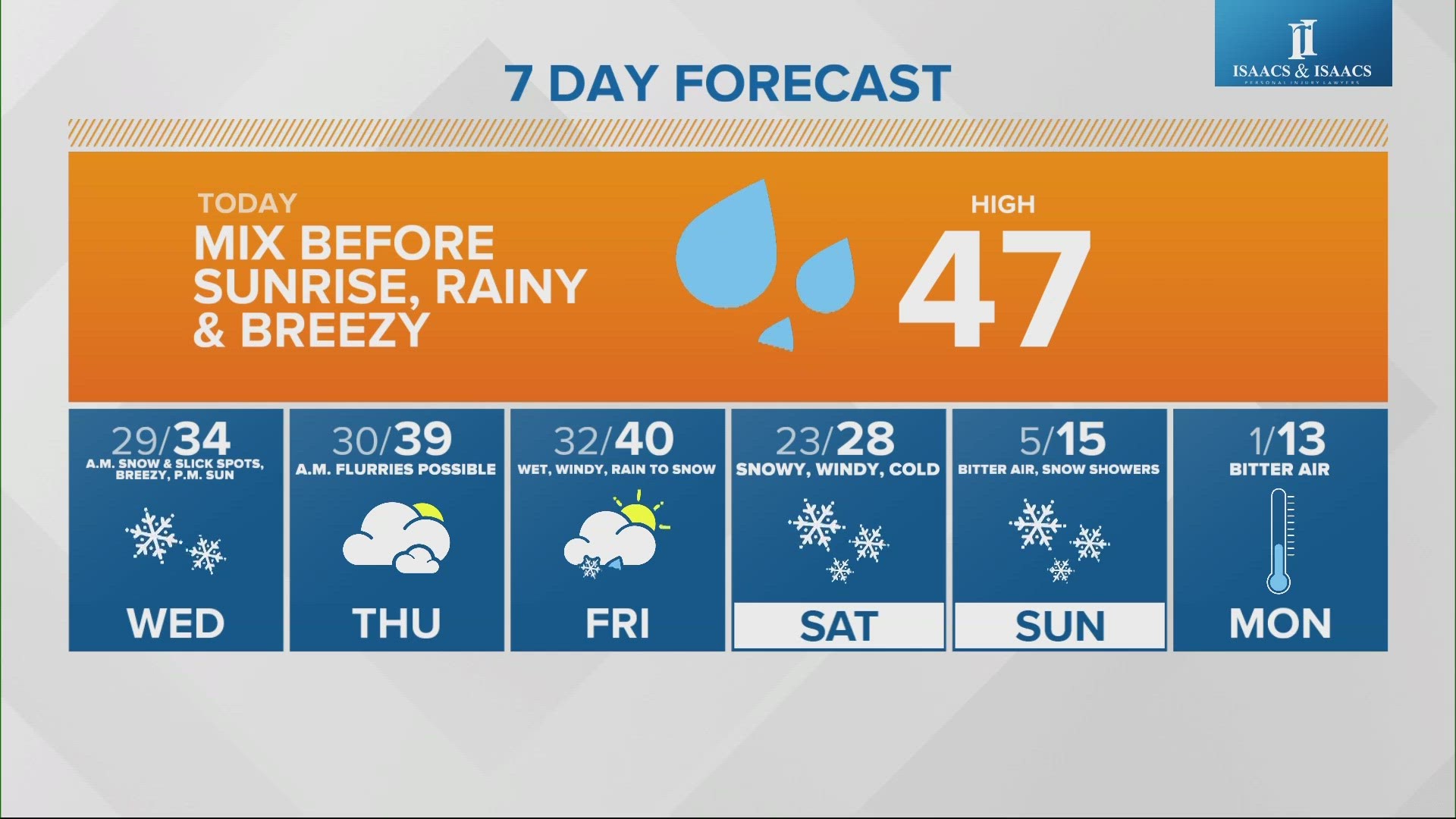
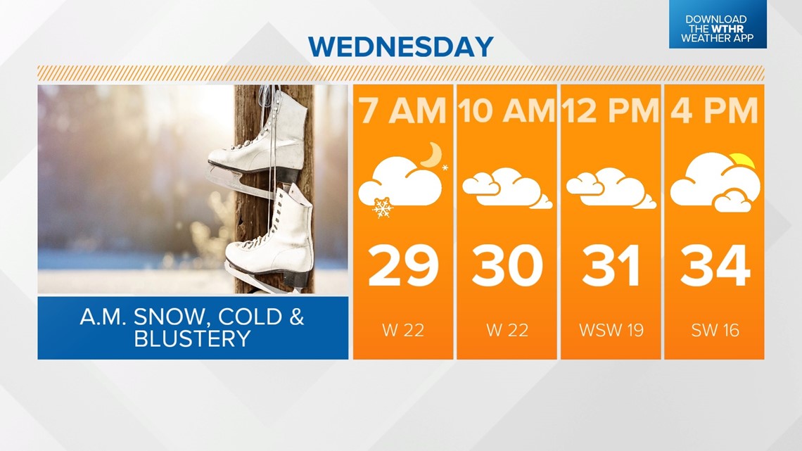
Temperatures only recover a few degrees into the mid-30s in the afternoon as skies clear a bit. We'll be mainly dry Thursday with partly cloudy skies and highs near 40.

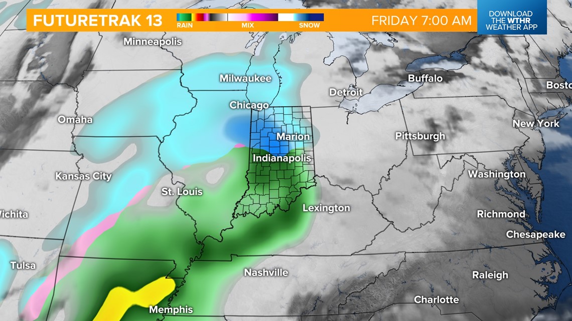
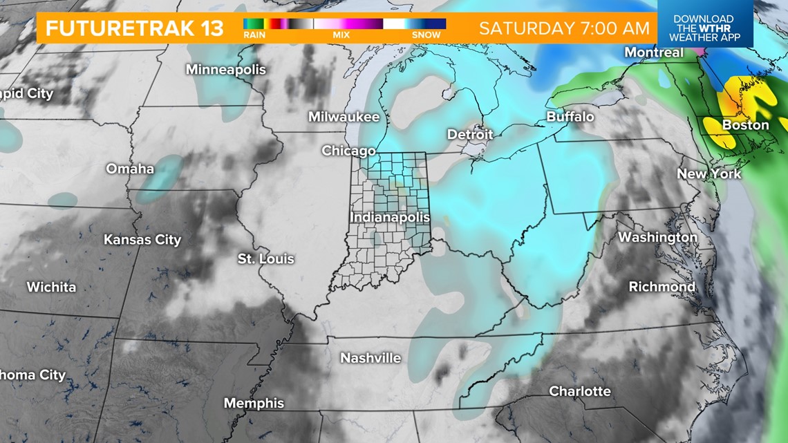
Another wintry system is set to bring a rain/snow combination Friday into Saturday. First, a wintry mix will be possible across the northern half of Indiana with mainly rain south as this system moves in Friday morning. As temperatures approach the 40-degree mark across the state, all precipitation changes to rain throughout the day.

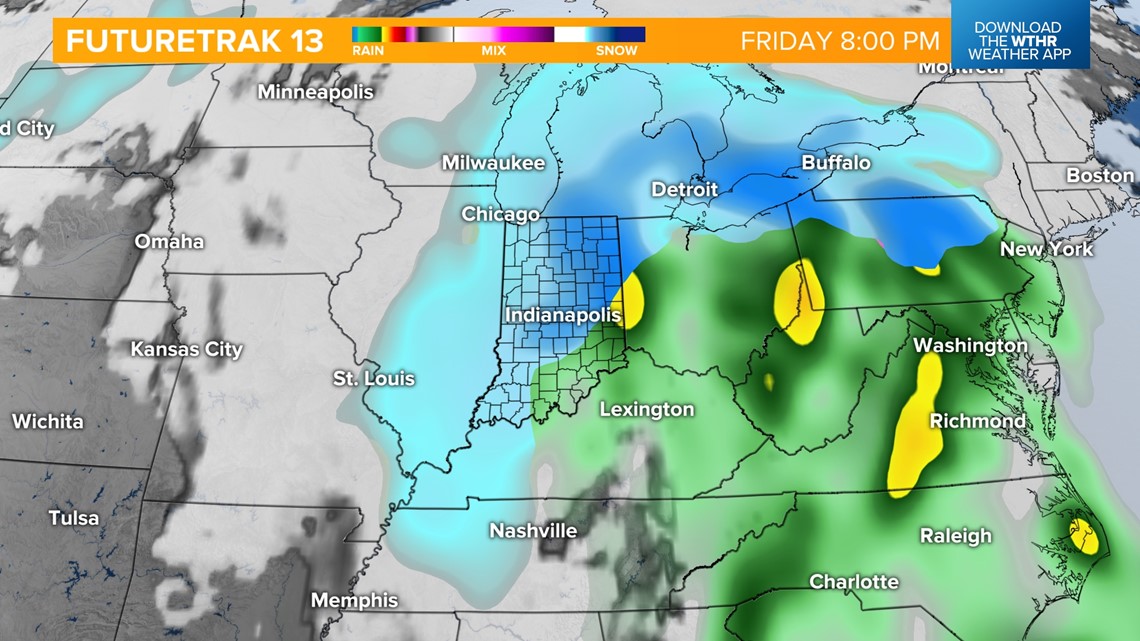
The best chance of accumulating snow with this system begins late Friday evening and during the overnight hours into Saturday morning. This will be a wind-whipped snow as well, with gusts to 40+ mph possible. Measurable snow ends by Saturday afternoon.


Behind this system, an arctic high pressure zone will bring well below average air for this time of year. By Sunday morning, temperatures will likely be in the single digits, with wind chill values as low as 10 below. Highs will only be in the teens. This cold snap looks to linger through early next week.

