INDIANAPOLIS — The holiday week will start off with unsettled weather. Clouds will increase with showers possible Monday afternoon.

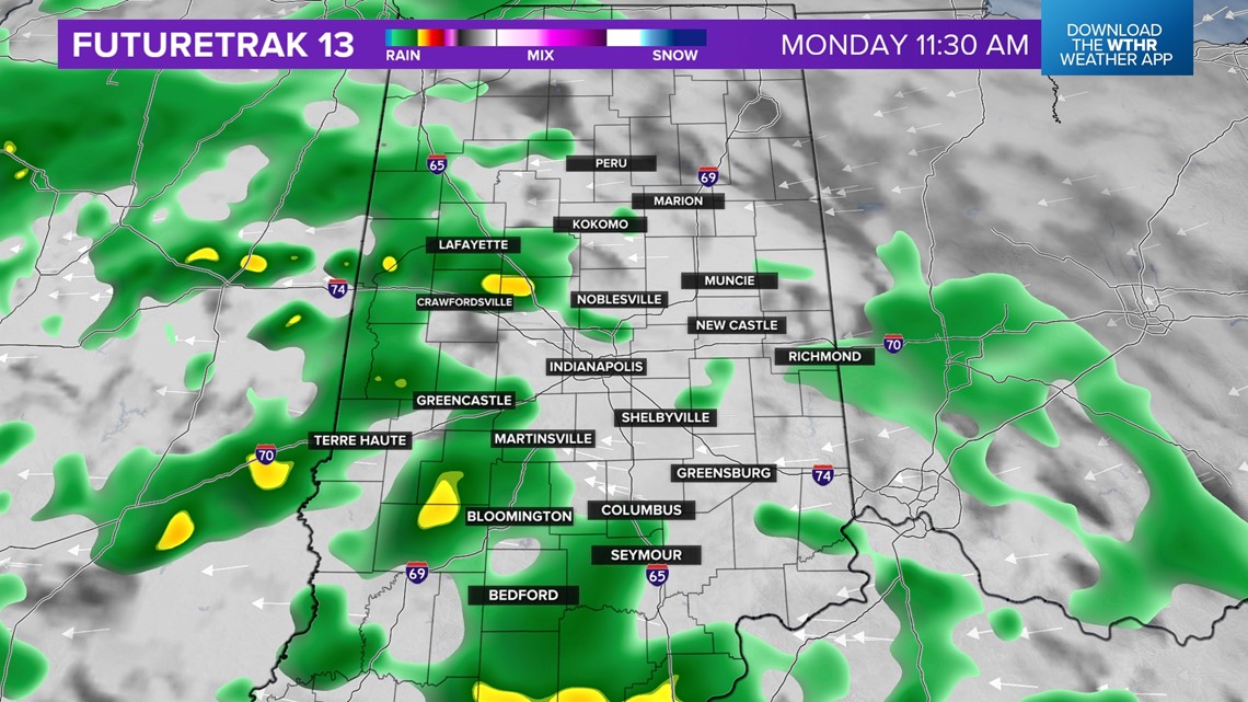
Temperatures will climb into the low-50s with breezy winds out of the east. The wind will gust out of the east around 25 mph.

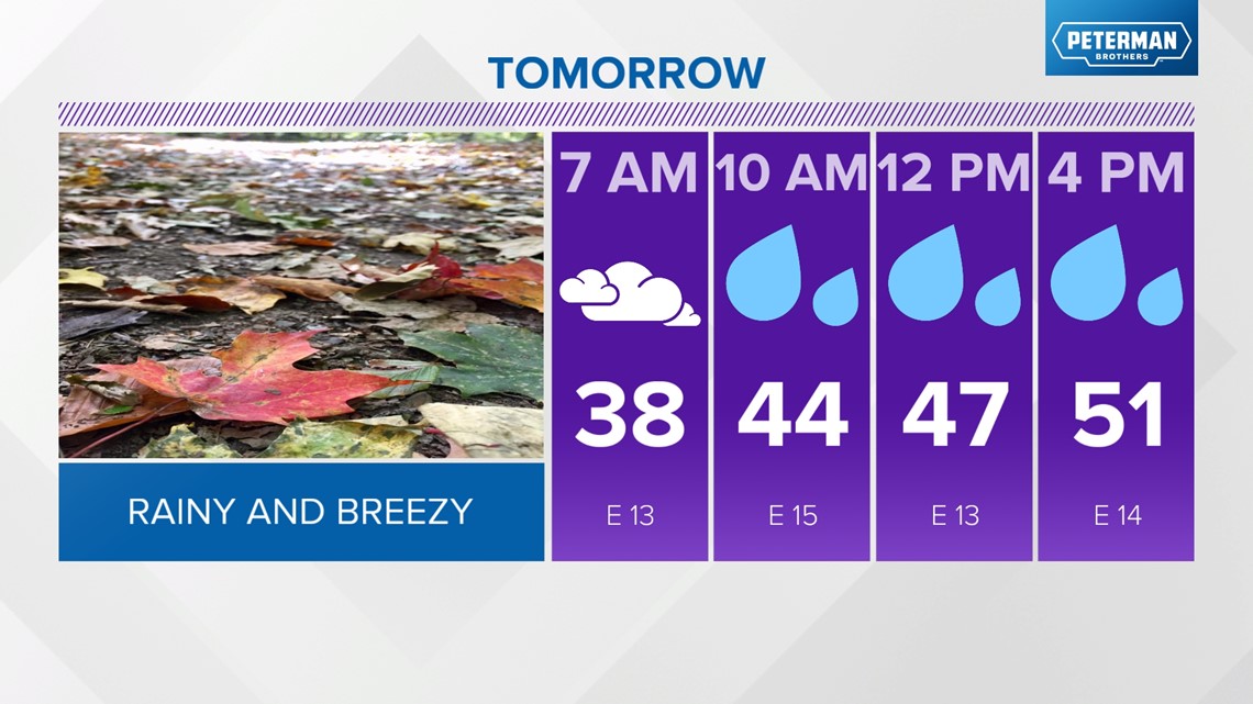
Showers will continue Monday night, with a few isolated thunderstorms south of I-70.

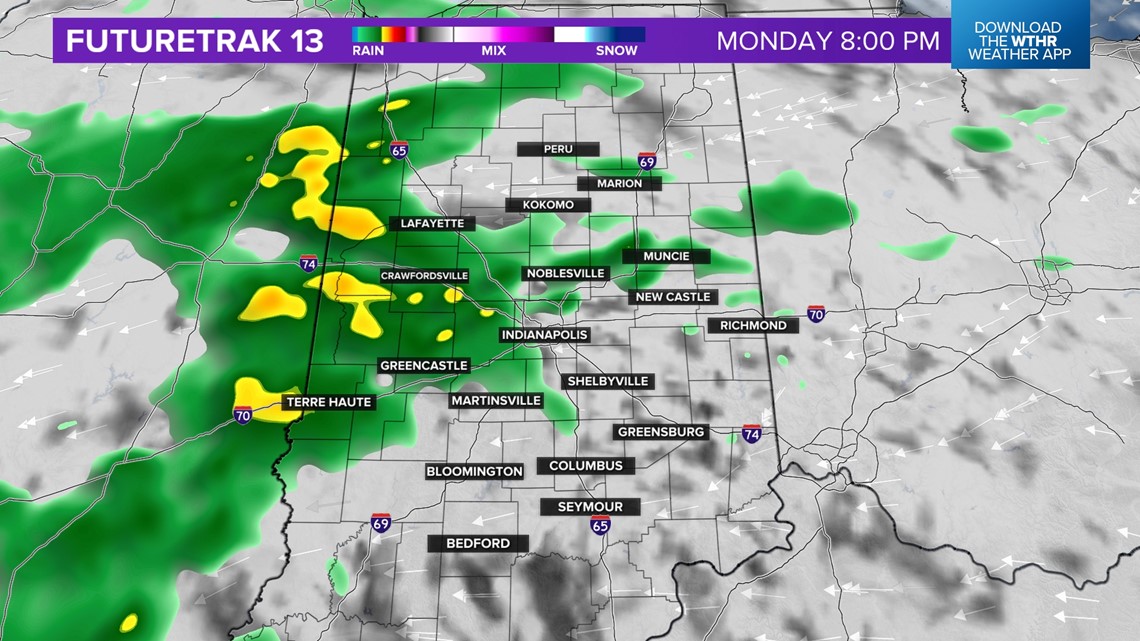
Pockets of heavy rain will be possible as well.


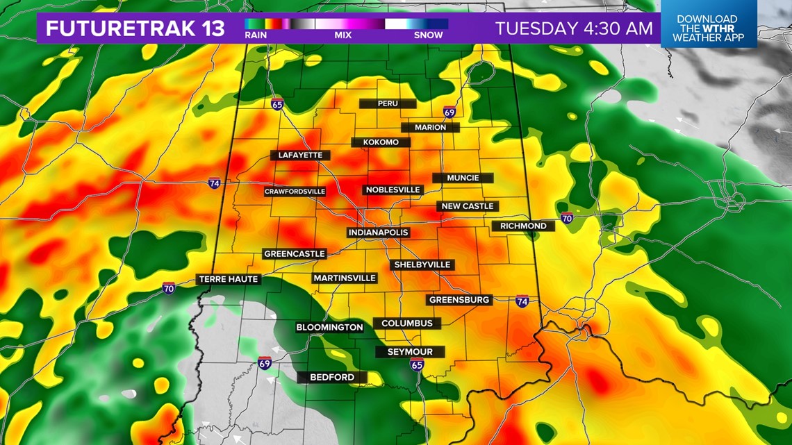
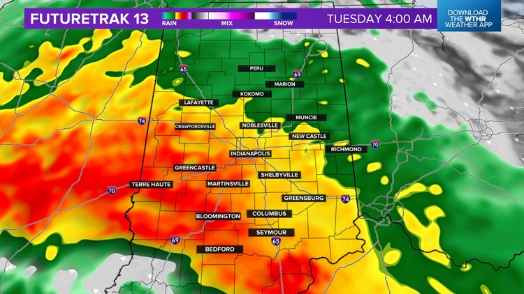
Showers will continue through Tuesday morning. Temperatures will fall into the low-40s Tuesday morning.

Rain will continue through Tuesday afternoon.

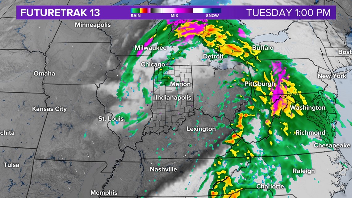
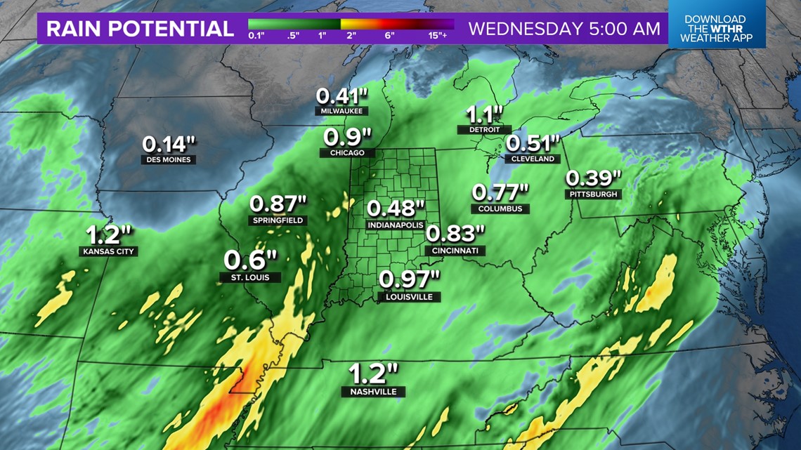
Rain potential will be from three quarters of an inch to over one inch of rain by Tuesday evening.

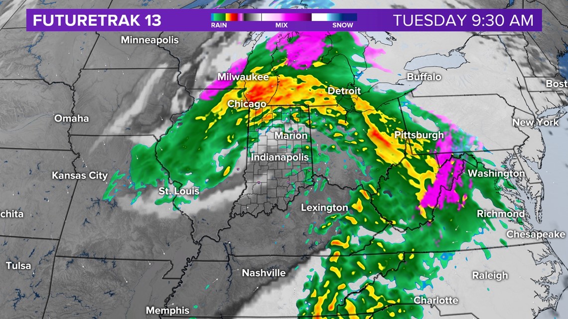
Temperatures will rise into the low-to-mid 50s. It will be breezy, eventually shifting out of the north. Rain will be out of the area by Tuesday evening with skies clearing out. Temperatures will fall into the low-30s.
Wednesday will be chilly with partly cloudy skies and highs in the mid-40s.
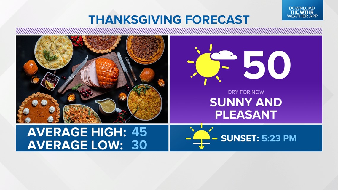
Thanksgiving Day looks sunny and dry, with highs in the upper-40s to near 50°.

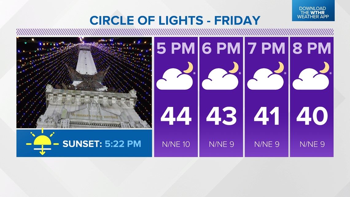
Right now, Friday looks dry and chilly, with highs in the mid-40s.

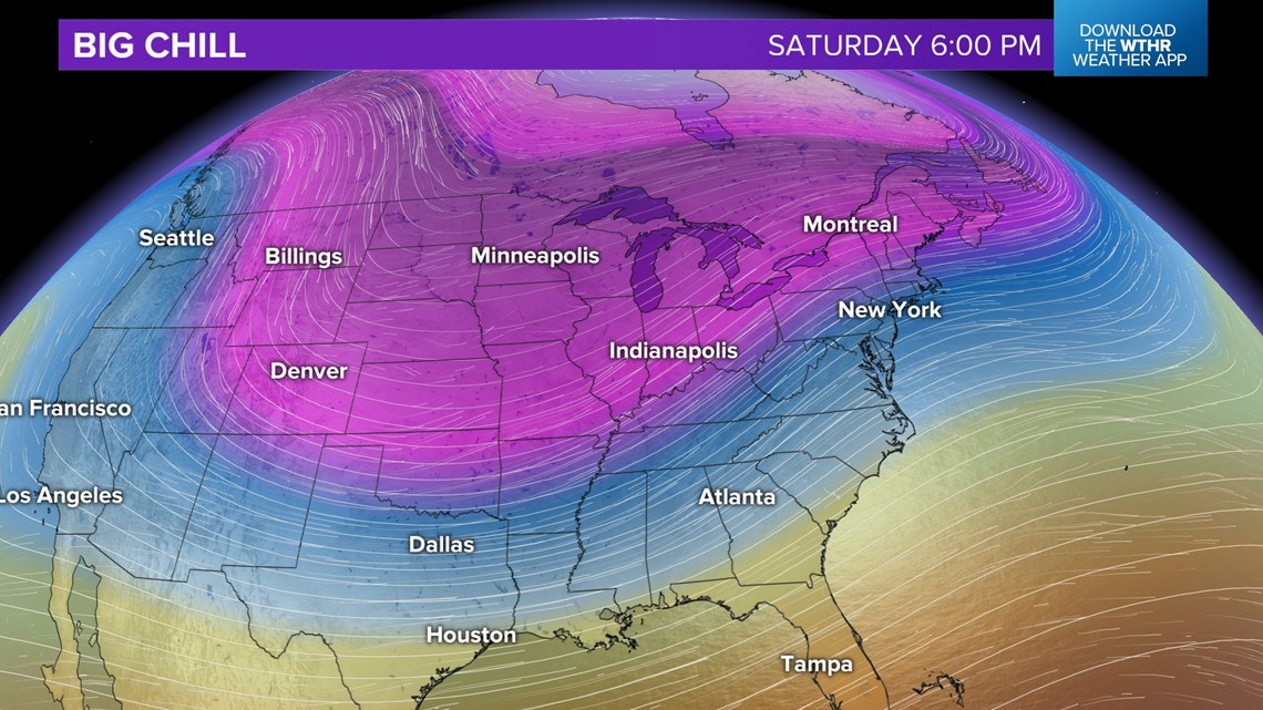
A wintry mix will be possible Saturday morning, with highs in the low-to-mid 40s over the weekend.