INDIANAPOLIS — A storm complex is tracking east through Illinois this morning toward central Indiana. This line has dropped below severe limits and is expected to continue weakening as it moves east.

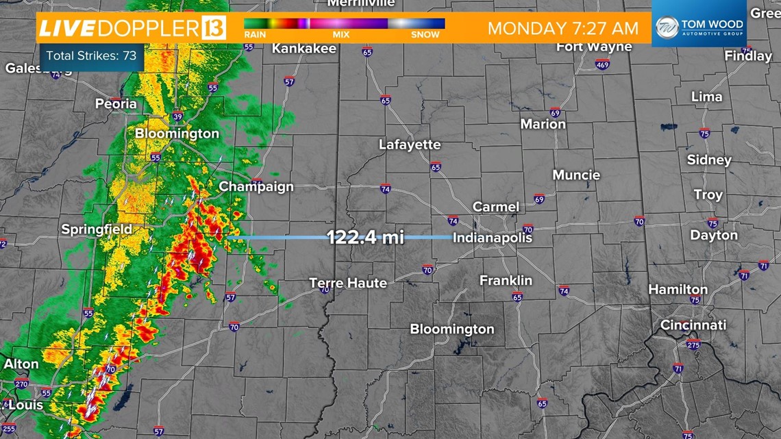
The potential is still there for the line to bring brief heavy rainfall, lightning, and sub-severe (<58 mph) wind gusts as it moves through Indianapolis from 10 a.m. to 1 p.m.

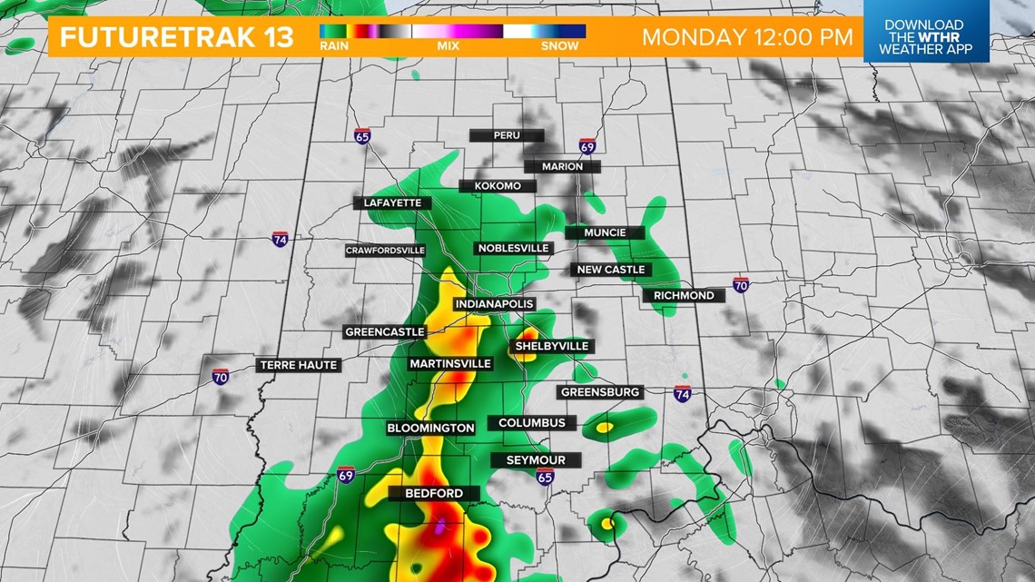
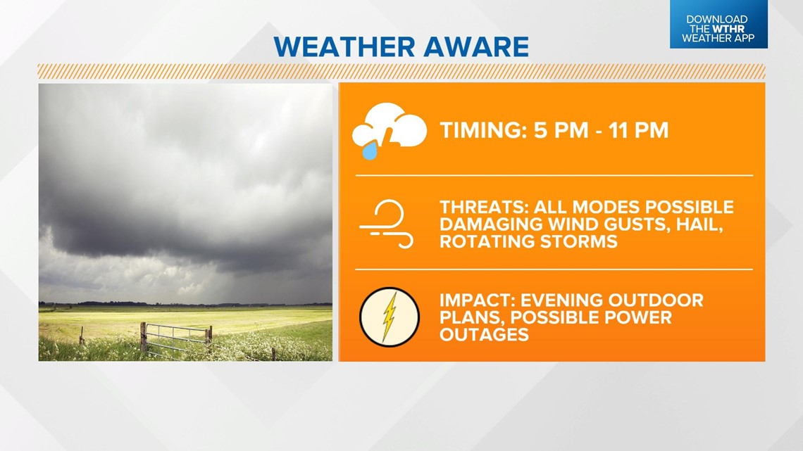
This morning's storm system will temporarily limit afternoon thunderstorm development. We're still watching for storms to develop along a cold front later this afternoon into the evening between 5 and 11 p.m.
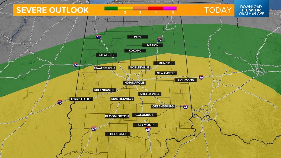
The Storm Prediction Center has placed most of central Indiana under a Level 2 of 5 for the risk of strong to severe storms. Primary threats are damaging wind gusts and large hail, with a few rotating storms possible as well.



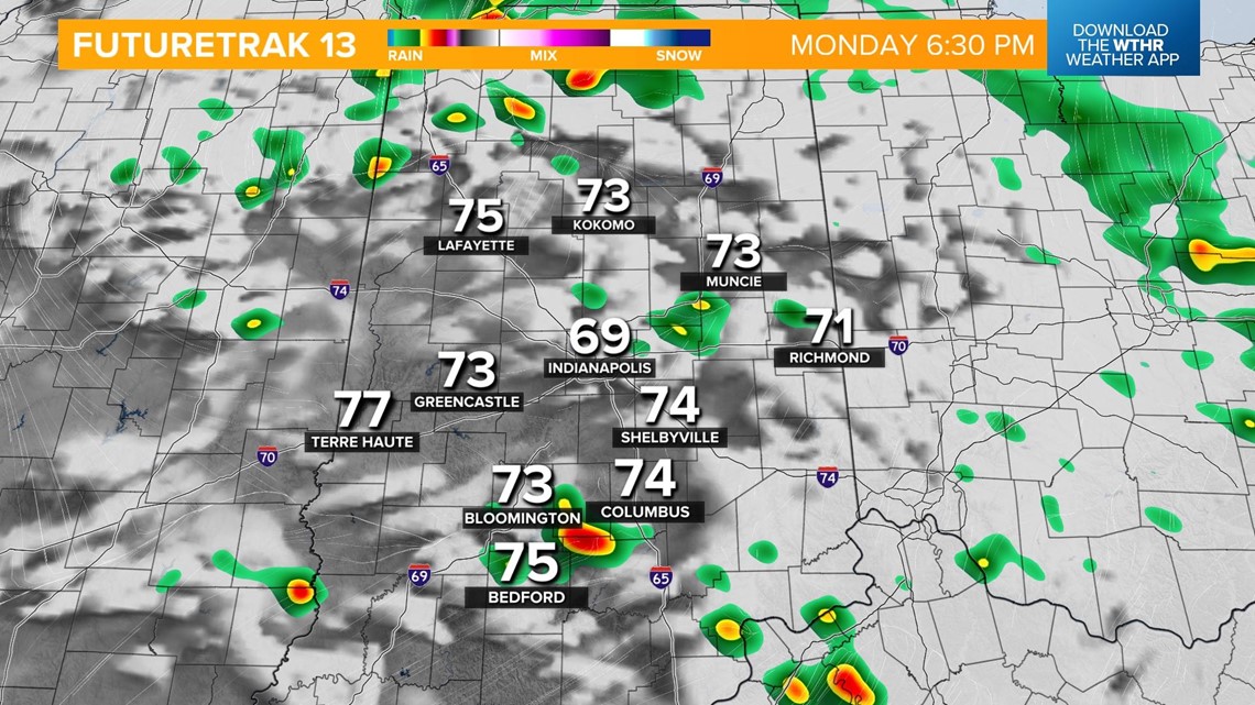

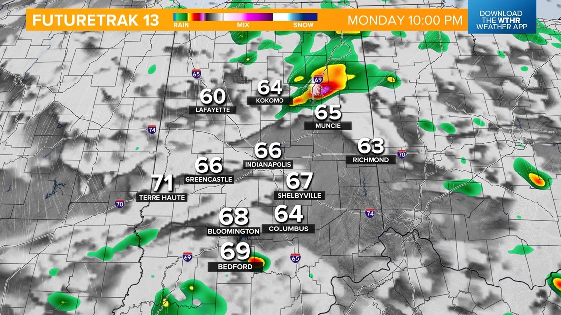
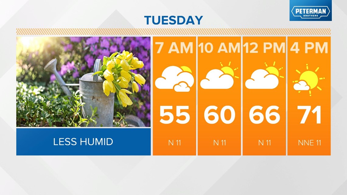
The threat of severe storms ends around 11 p.m. with cooler, drier air returning overnight. This will set us up for a much more pleasant day Tuesday with low humidity, highs in the low 70s, and a mix of sun and clouds.

Wednesday and Thursday will also be dry days, with temperatures warming back to near 80 degrees. Our next round of showers and storms returns early Friday with scattered storm chances through the weekend.


