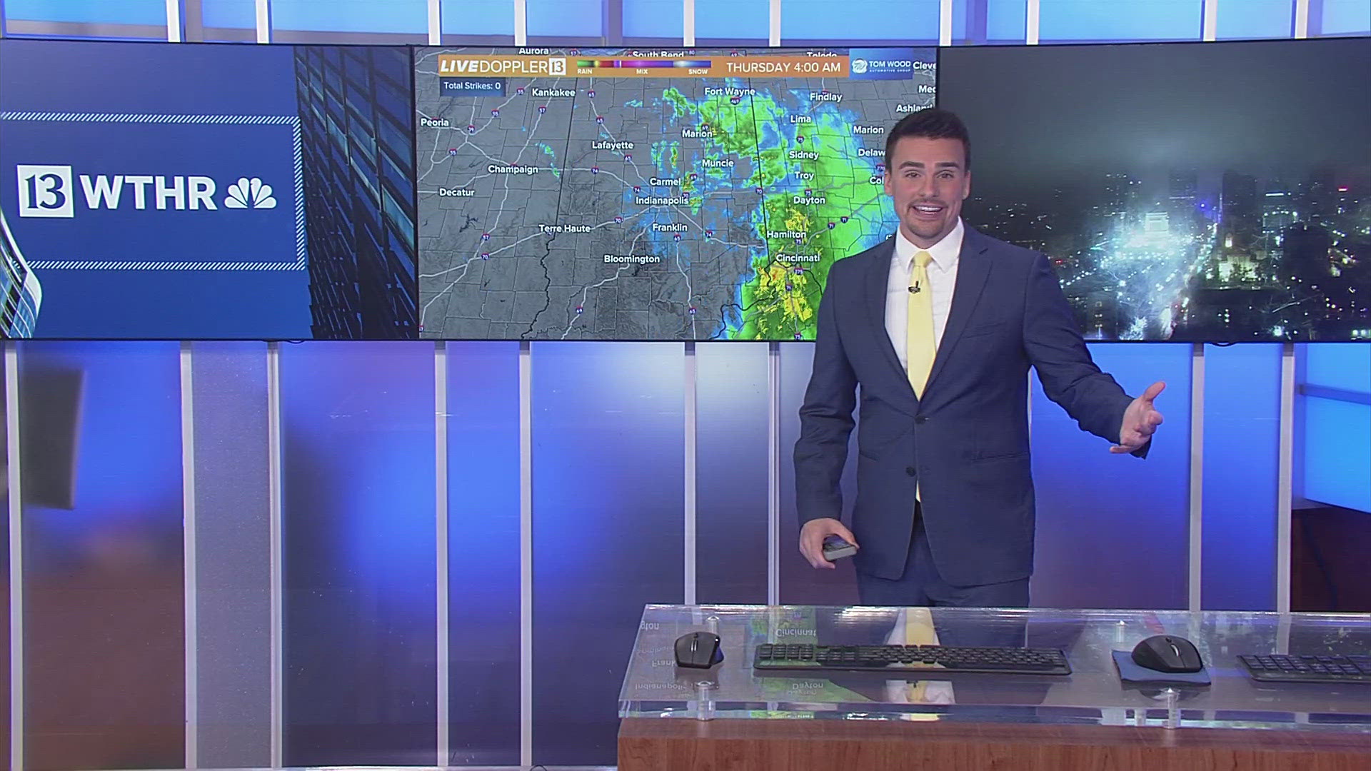
INDIANAPOLIS — Accumulating snow will continue to taper off with most spots reporting snowfall totals around 1-2". A few light snow showers will continue through the afternoon and into the evening but additional accumulation isn't expected.

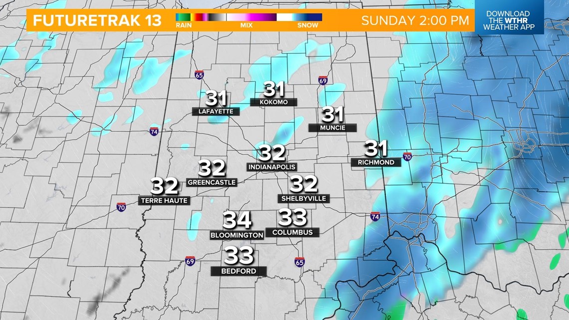
Temperatures will hold steady near the freezing mark which will keep roads slippery, especially on bridges and overpasses.

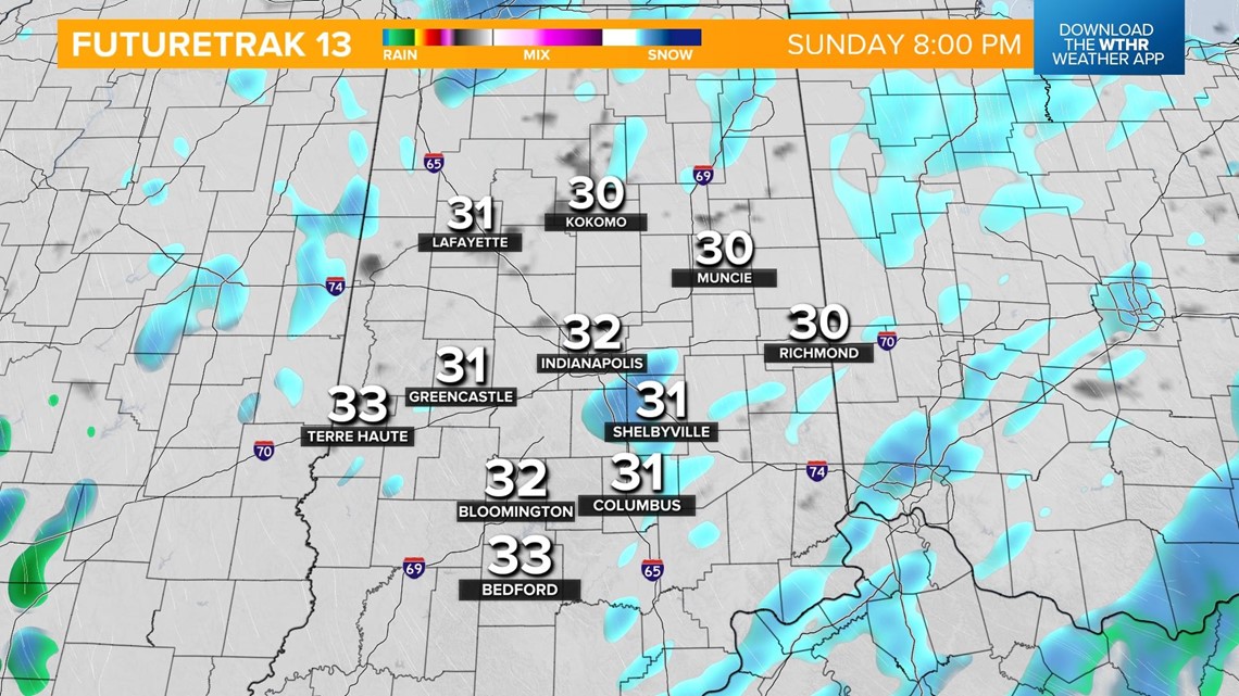
Look for mainly cloudy skies with a few flurries overnight with temperatures holding steady in the low 30s. Skies begin cloudy on Monday with a gradual clearing during the day with temperatures recovering to the upper 30s.

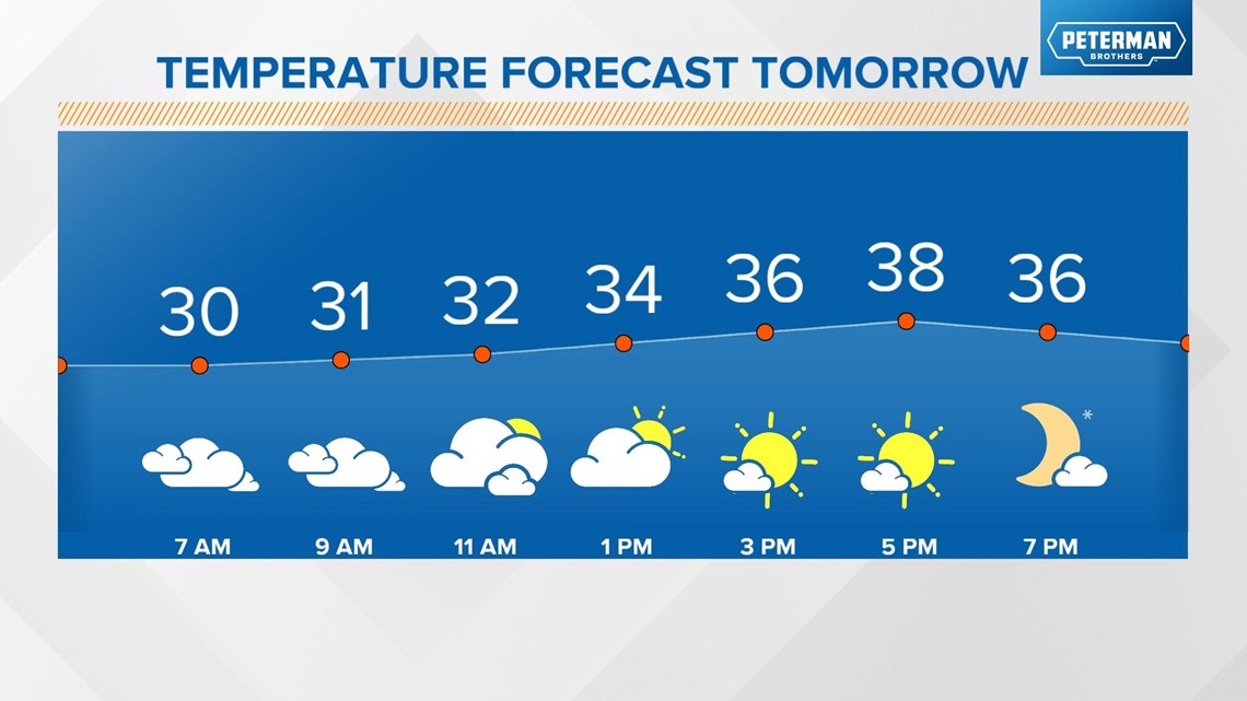
We'll have another quiet day Tuesday with partly cloudy skies and highs in the low 40s.
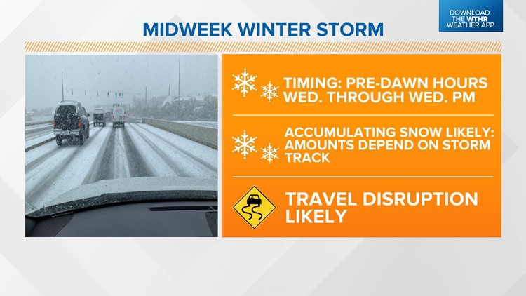
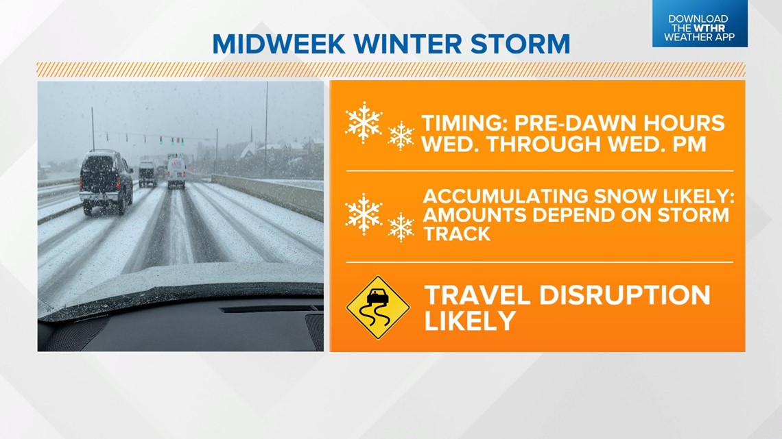
All eyes are on our next winter storm which looks to arrive in the pre-dawn hours Wednesday.

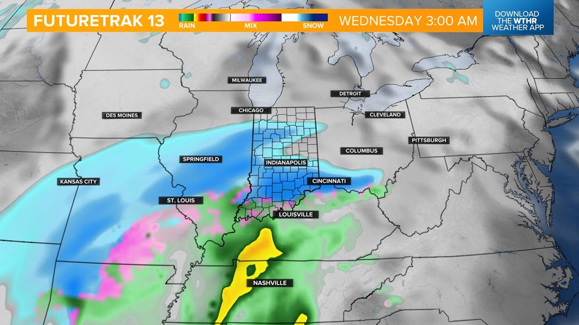
The storm track will play a major role in how much snow central Indiana sees and that is still to be determined. At this point, accumulating snow looks like it will last through the day on Wednesday, so plan ahead for travel disruptions.

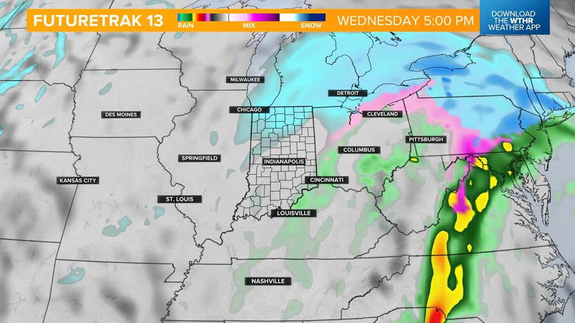

We'll be in an active weather pattern through the end of the week with scattered snow showers possible again on Thursday and a wintry mix moving in late in the day Friday. High temperatures will hold steady near the freezing mark through the end of the work week.

