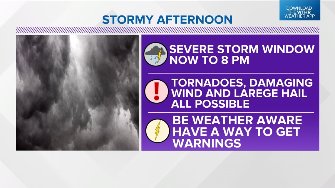
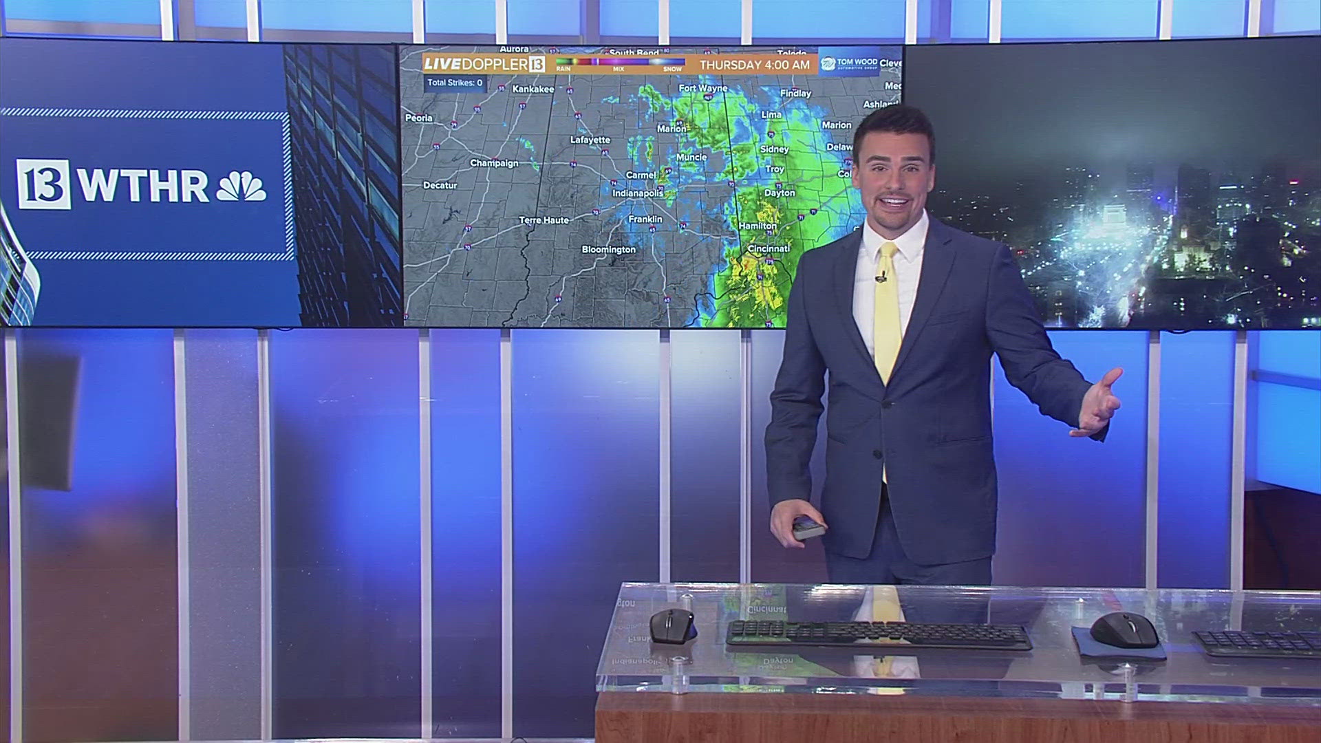
INDIANAPOLIS — Buckle up for a stormy and potentially volatile afternoon in central Indiana with the likelihood of heavy storms.
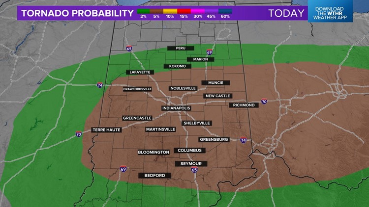
Some of these storms will be supercellular, rotate and possibly produce tornadoes. In addition, damaging wind, large hail, flash flooding rain rates and frequent lightning will disrupt outdoor plans.
We're advising everyone to be Weather Aware from now until 8 p.m., which is when the severe threat ends for central Indiana.


A Tornado Watch may be issued shortly to account for an environment that becomes favorable for storm coverage and intensity to increase and with ample instability/moisture/wind shear for rotating storms – especially along the I-70/74 corridors and toward eastern/southeast Indiana.


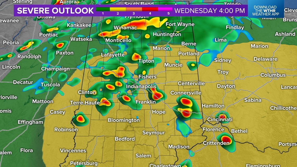
Central Indiana is in a Level 2 (out of 5) risk for severe weather with elevated probabilities of all severe storm hazards including: tornadoes, wind gusts over 60 mph, and large hail. Watches and warnings seem likely and we encourage you to have multiple ways to receive them.
Storm coverage likely maximizes between 4 p.m. and 7 p.m. with the severe weather threat over by 8-9 p.m. after the passage of a cold front. So our time in the muggy air and severe weather risk is narrow, but demands your attention.
We'll update as needed.


