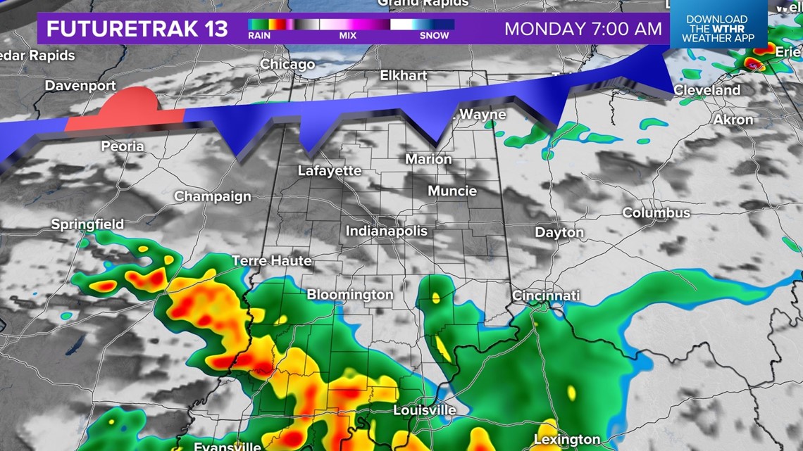
INDIANAPOLIS — A cold front will bring the chance for storms and a risk of severe weather Sunday afternoon and evening.
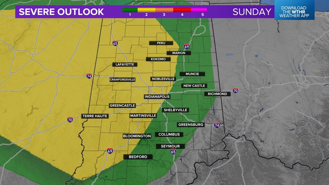
While the larger threat of severe weather will be for Illinois, the Level 2 risk extends into the western half of the state.
All threats are on the table, but damaging wind gusts and hail are the primary concerns.
Persistent downpours may lead to localized flooding.

Storms will initiate along the front in Illinois and track east.
There could be a few isolated showers in northern Indiana in the morning, but the first half of the day will be mainly dry for most.

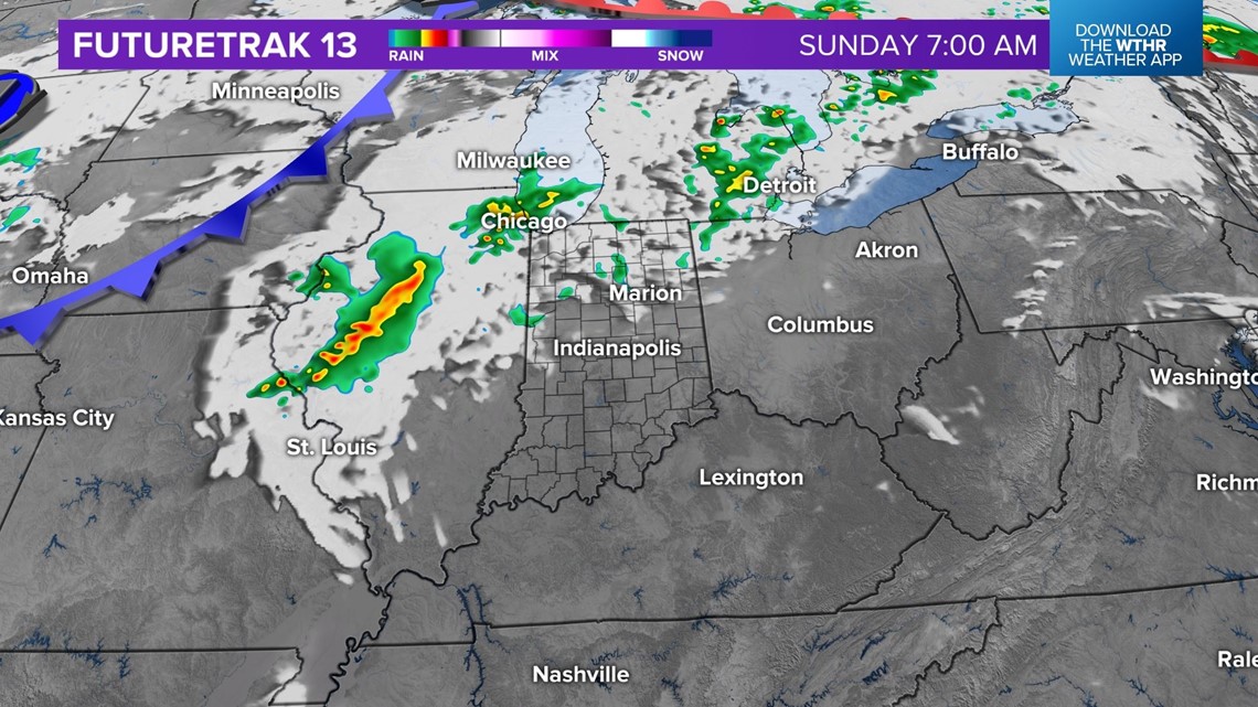
Isolated storms will be possible by the afternoon, mainly for west central Indiana.

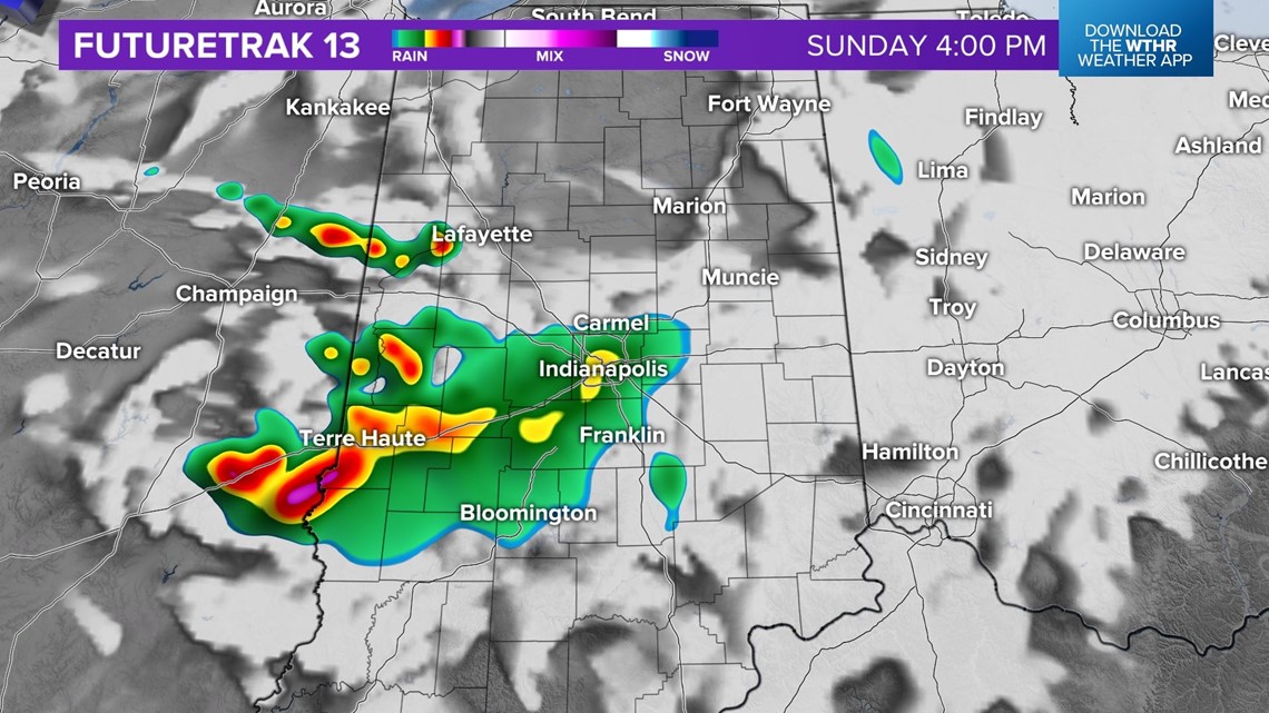
Storms will become more widespread during the late evening and overnight hours.

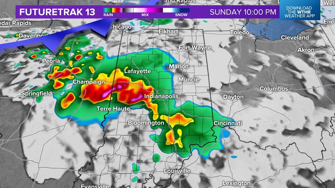
It will likely be a stormy early morning on Monday, especially for southern Indiana.
Storms will clear to the south by the afternoon.

