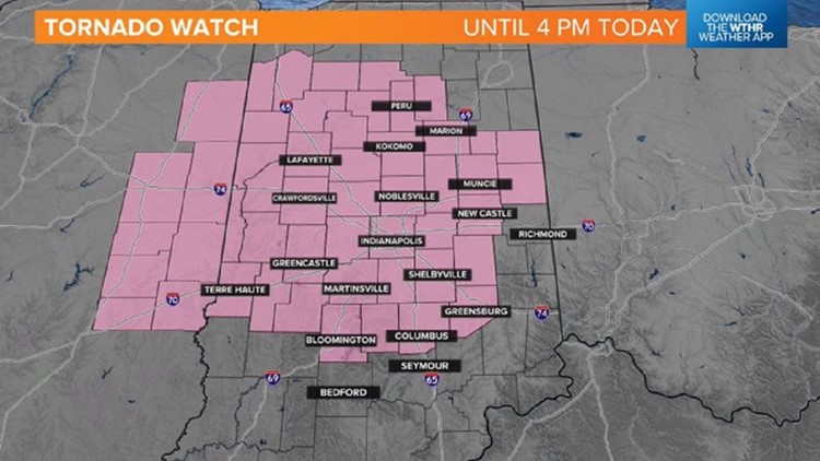
INDIANAPOLIS — The National Weather Service has issued a Tornado Watch for most the 13News viewing area until 4 p.m. ET Monday.
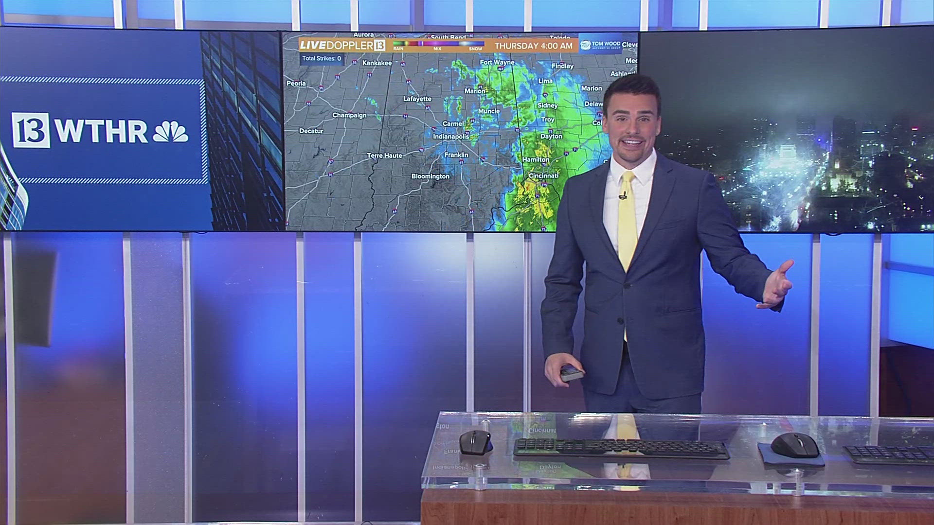
Thus far, the forecast is playing out as expected. A line of downpours and embedded thunder is racing into Ohio at the time of posting.
Between now and 4 p.m. we'll be monitoring radar closely as atmospheric conditions become favorable for any cells that develop in the wake of that line to rotate and possibly produce tornadoes.
We're already seeing that in east-central Illinois with a confirmed tornado near Champaign, Illinois.
Robust wind fields will intersect, increasing low-level instability over central Indiana in the coming hours. There's certainly enough ingredients in place to see additional Severe Thunderstorm and/or Tornado Warnings in our viewing area before the greatest instability/wind shear quickly moves into Ohio later this afternoon.
Please be Weather Aware between now and 4 p.m., and have a way to get any warnings that may be issued.
Any severe threat will be over by 5 p.m., but strong, non-thunderstorm gusts up to 50+ mph remain area-wide until around sunset.
Clouds linger Tuesday morning before a brightening sky into the afternoon and highs in the mid-50s. We're still forecasting near-record highs to open March on Wednesday.
Modeling remains bullish on another wind-machine moving through the Ohio Valley on Friday, but the exact track is uncertain, and that will make the difference from heavy rain, heavy snow and/or both. Stay tuned.


