INDIANAPOLIS — Showers and isolated storms will track through central Indiana this morning as a warm front lifts through and temperatures increase into the upper 50s. We'll see a brief "lull" in the widespread rain in the mid-morning through noon.

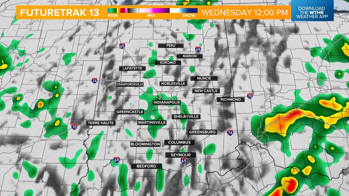
As central Indiana sits in the "warm sector" of this weather system, temperatures will warm into the 60s this afternoon, but this added energy to the atmosphere will be a trigger for thunderstorms to develop, mainly between noon and 2 p.m.

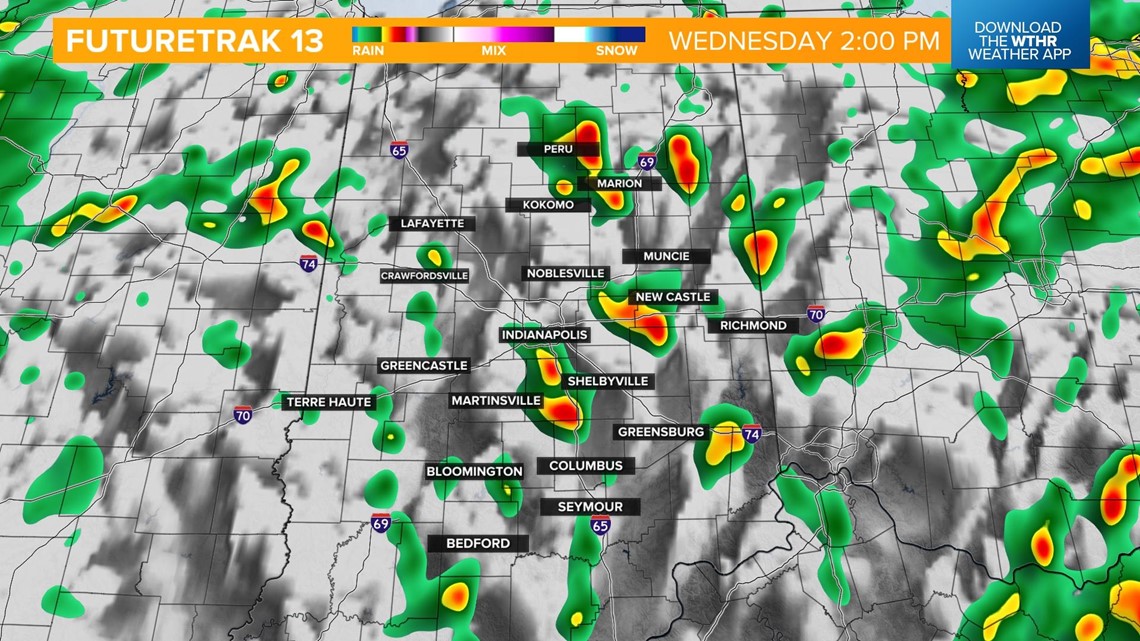
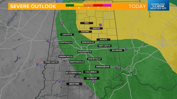
A few stronger storms will be possible with damaging wind gusts as the primary threat, and a few rotating storms can't be ruled out. The Storm Prediction Center has placed most of central Indiana under a level 1 of 5 and parts of northeast Indiana under a level 2.


The severe threat comes to an end after 6 p.m. as this area of low pressure maneuvers to the northeast.

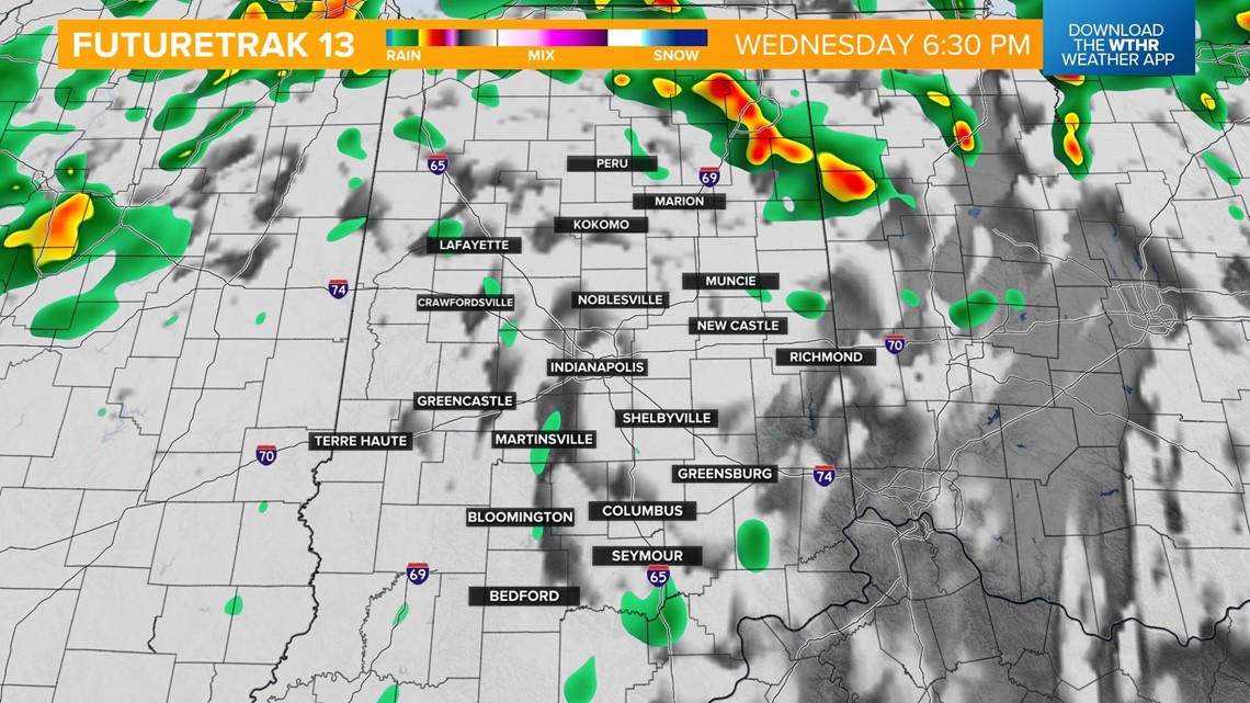
Much cooler air will begin to push into the area this evening and overnight.

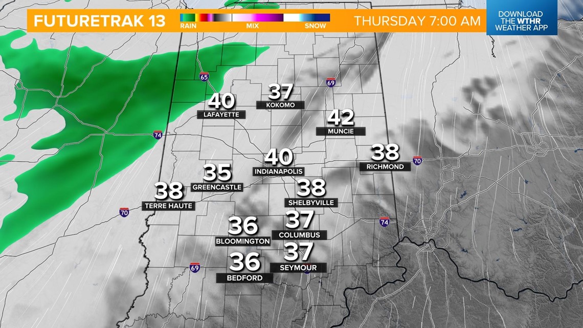
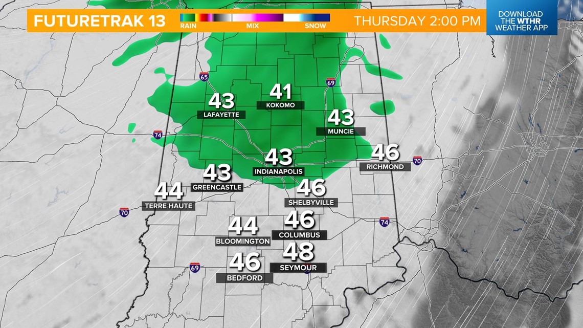
While cooler, we'll still see impacts Thursday as moisture wraps around the back side of that storm system. While heavy rain isn't expected, it's still looking rather damp and cool with steady temps in the mid to upper 40s.

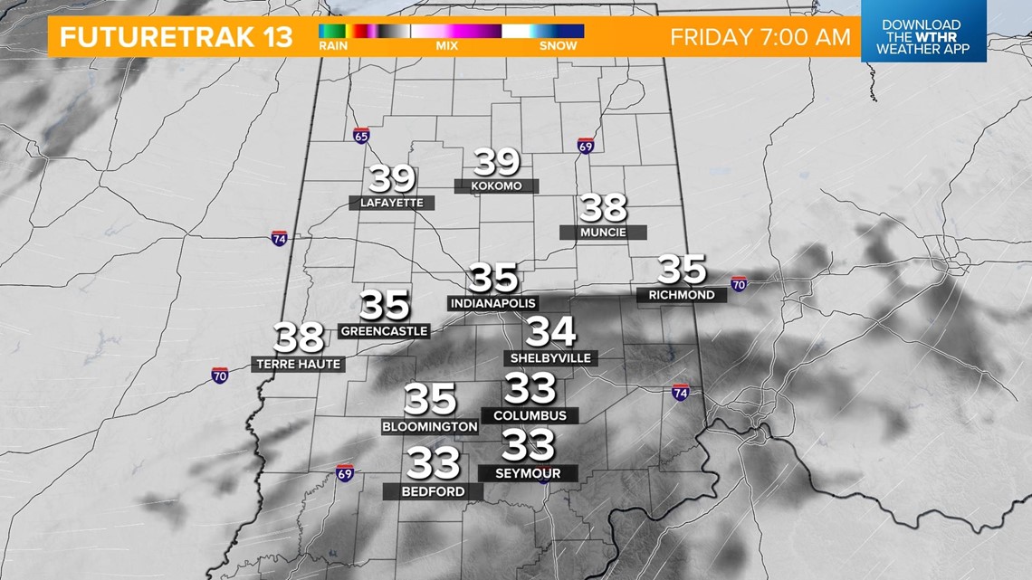
We'll keep it cloudy and cool with a few stray showers on Friday. Morning lows drop back into the 30s with highs near 50.

