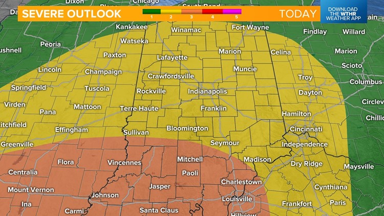
INDIANAPOLIS — Steady rain and cloud cover is just what the doctor ordered today to lessen potential of a high end, widespread severe weather event in central Indiana. With that said, all of the WTHR viewing area remains at risk of storms capable of producing either damaging wind, tornadoes, and/or flooding — mainly within the 4-10 p.m. timeframe.

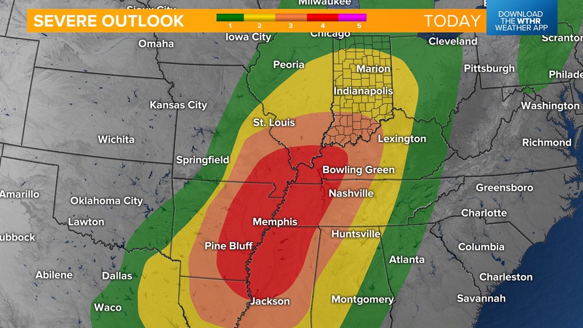
During that time, the wind fields over central Indiana will be strengthening and spinning, so any storms developing could rotate or transfer the high wind to the surface. Thus far, cloud cover has limited heating/instability locally, which lowers the overall potential for us and displaces the greater potential of a high-end event closer to the Ohio River and southwestward to the Mid-South.
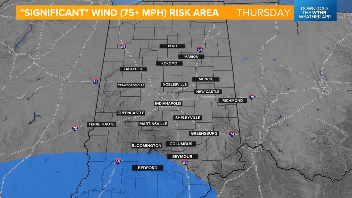
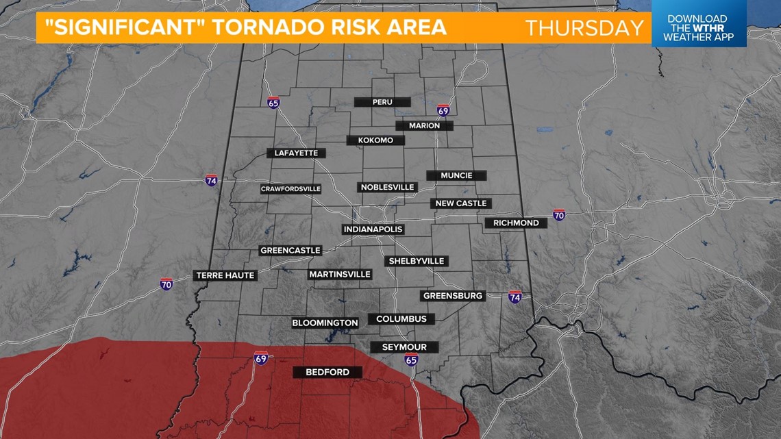
Please remain Weather Aware as we still expect warnings to be issued in parts of our viewing area before midnight. And there's still a chance of either significant wind (75+ mph) and/or a significant tornado in southern Indiana. We'll update as needed.