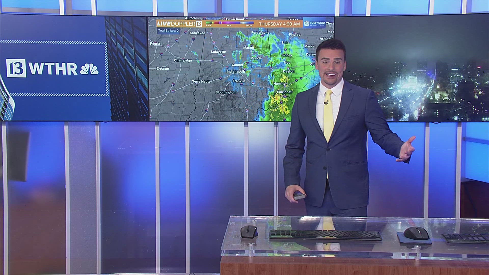
INDIANAPOLIS — It's definitely the "air you can wear" blanketing a good portion of the eastern U.S. with dewpoints hovering near 70°. This moist air isn't leaving anytime soon and with multiple upper air disturbances pivoting through the Ohio Valley, plan on rounds of locally heavy rain each day in central Indiana.

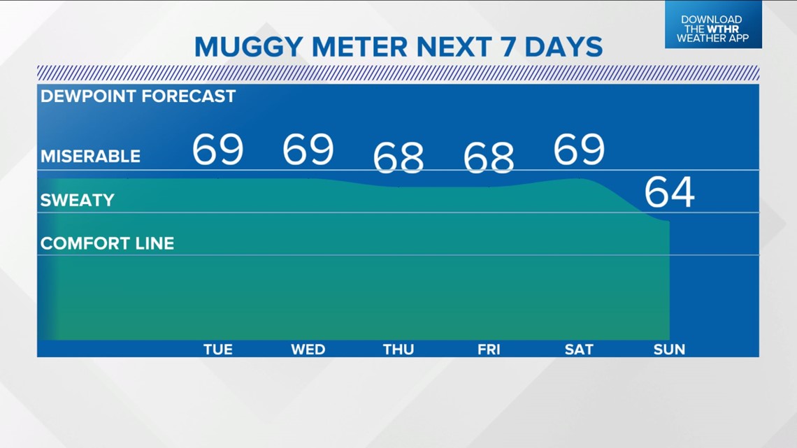

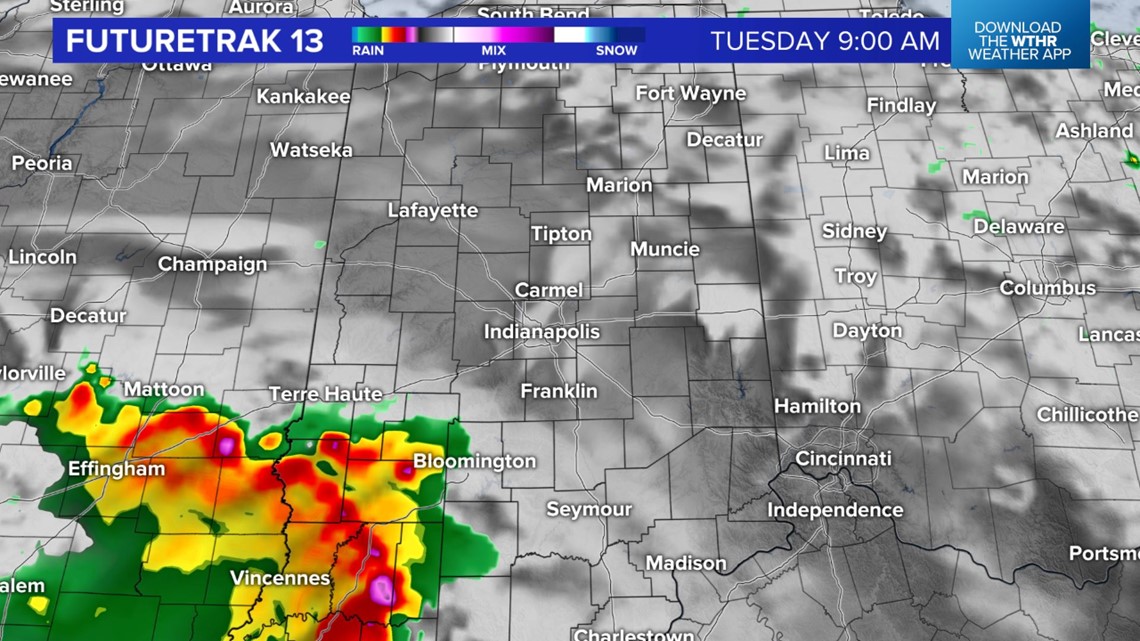
This doesn't mean every yard gets drenched, but anything on radar has heavy rain potential. It will be a good idea to monitor radar closely before heading out. Latest model data shows several rounds of downpours and thunderstorms on Tuesday.

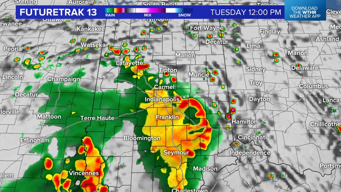

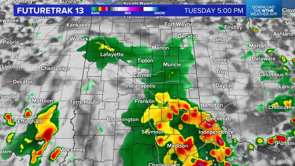
There is a daily chance of this same weather heading into Friday before this pattern breaks down for what looks like a quieter weekend. Stay Weather Aware, and be prepared to move indoors if the sky opens up.


