INDIANAPOLIS — We're still looking at a stormy set-up this afternoon as another storm cluster develops back in Missouri.

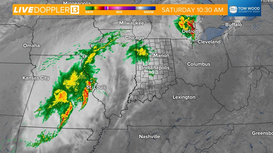
This storm complex will continue to evolve as it tracks closer to central Indiana. Storms will initiate ahead of the main line after 1 p.m.

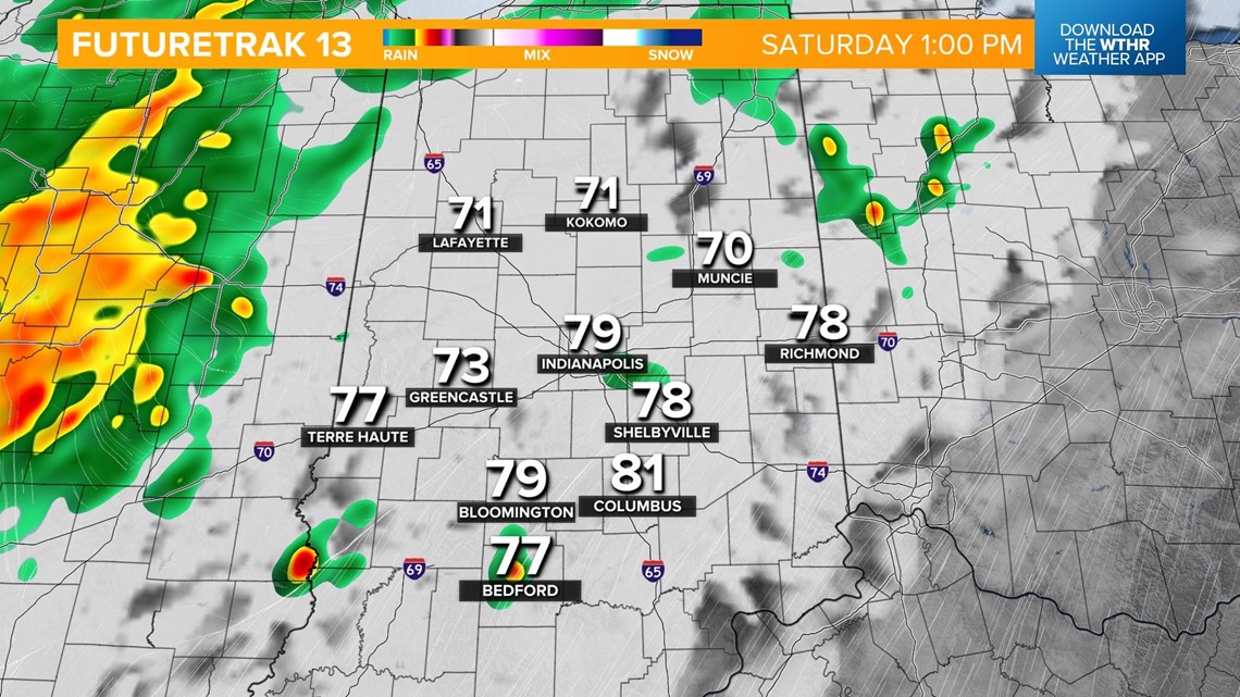
The line will continue to develop from west to east and push into the Indianapolis metro closer to 2 p.m.

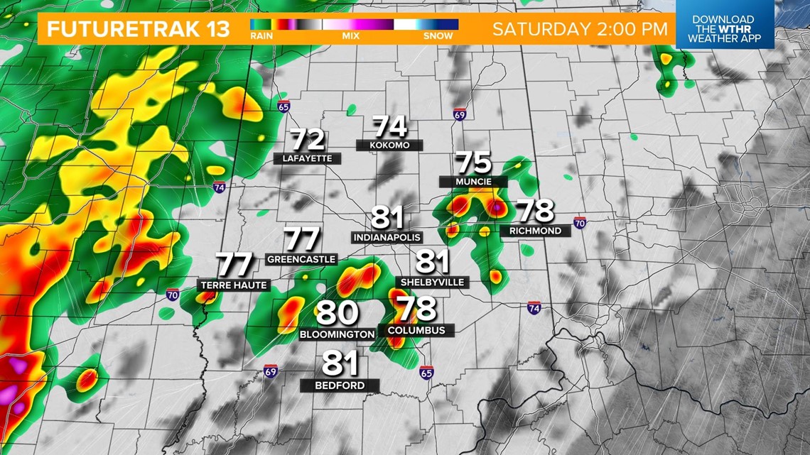
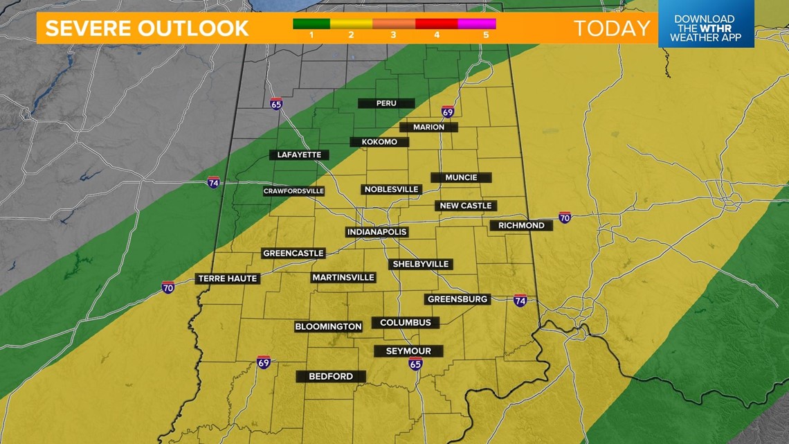
The Storm Prediction Center has placed most of central Indiana and all of southern Indiana under a level 2 of 5 for the risk of scattered severe storms this afternoon. Primary threats include damaging wind gusts, large hail, frequent lightning, and torrential rainfall.

Storms continue to become more numerous as the boundary continues to trigger development from 3 to 5 p.m.

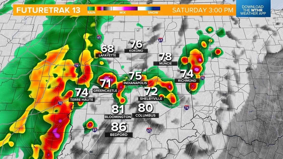

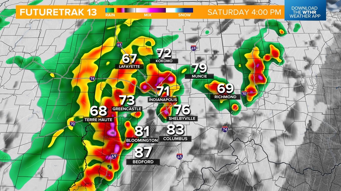

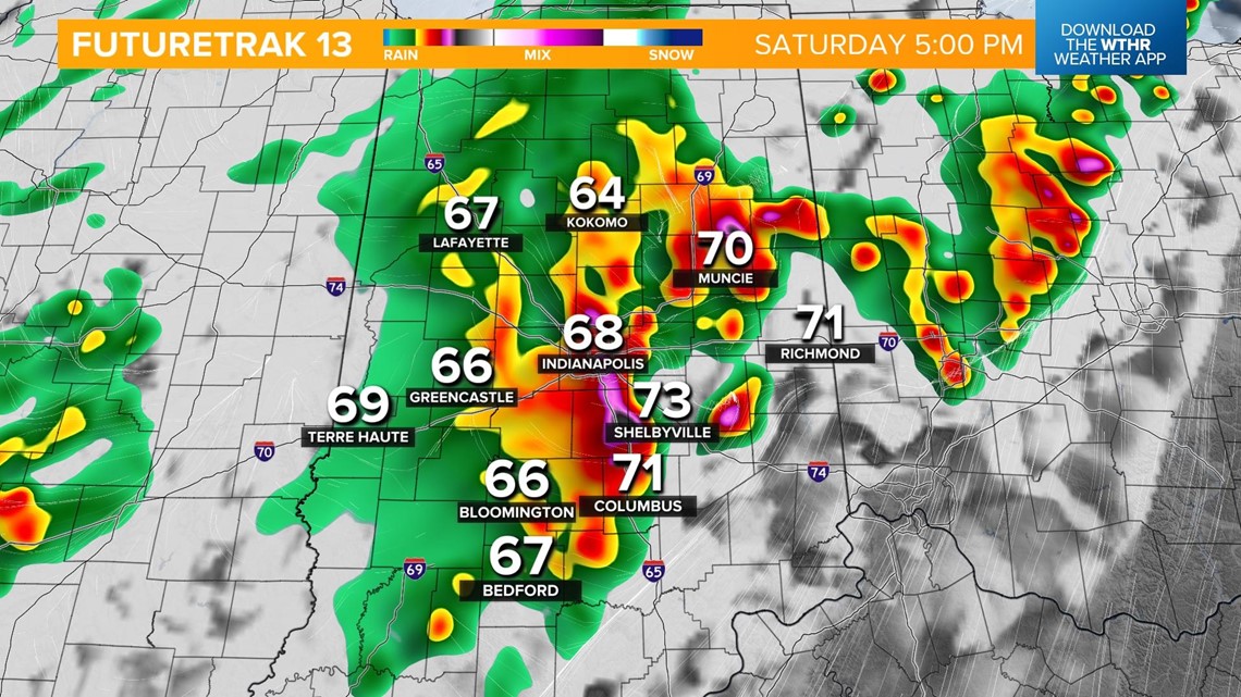
The line will track east after 6 p.m., and we'll have another lull in rain and storms in the early evening.

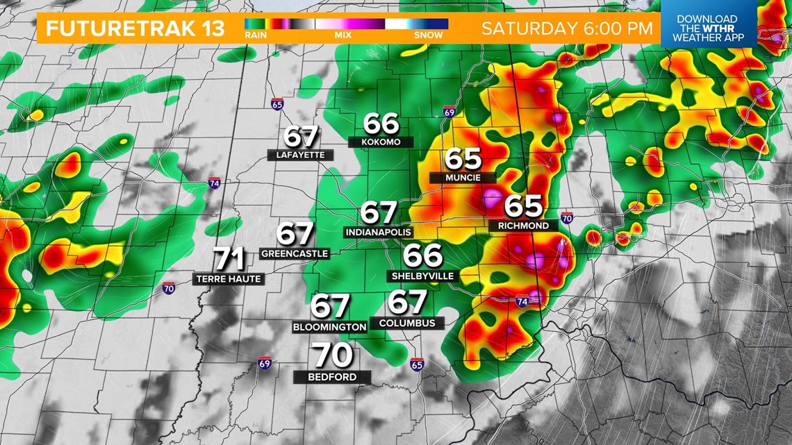
We aren't done with the rain and storm threat for the night though. You'll want a plan B for any outdoor events this evening. Showers and storms will ramp back up around sunset with widespread rain likely into the overnight.

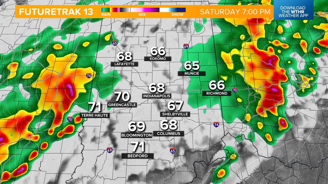

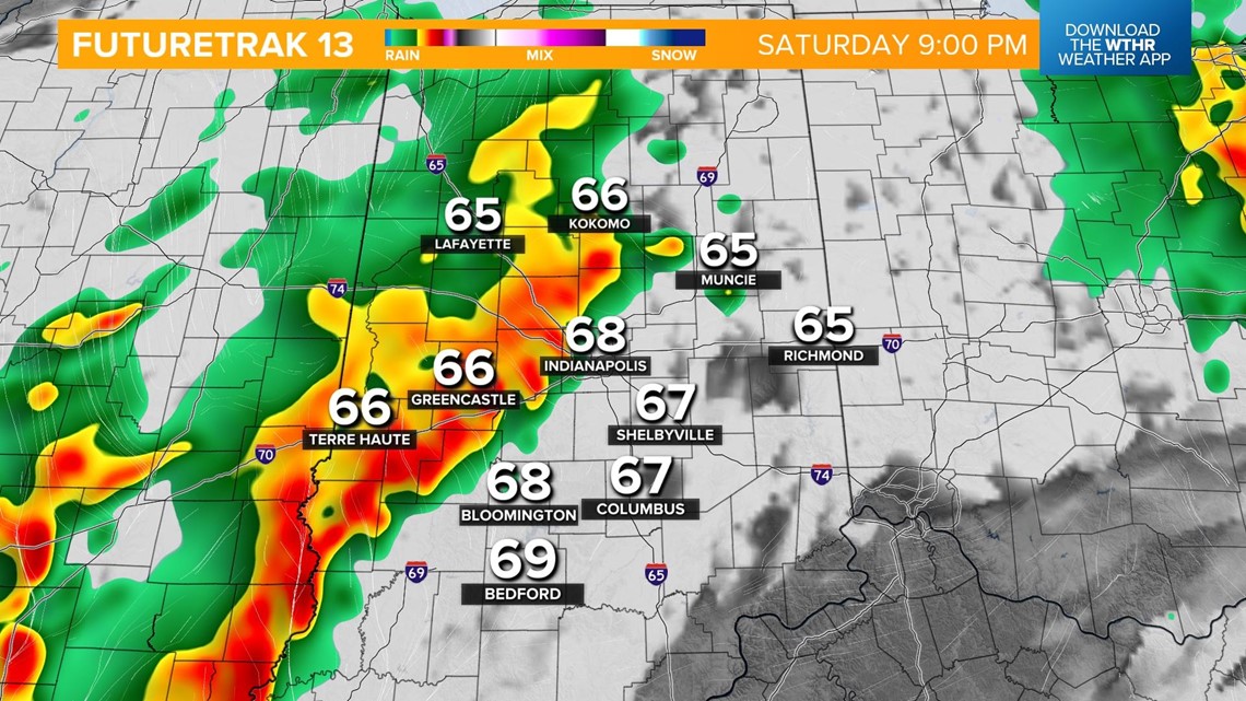
Lingering showers continue overnight and into early Sunday.

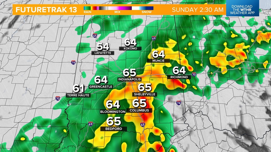
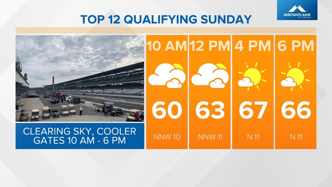
Temperatures will be cooler on the backside of this frontal system with lows in the mid 50s. The sky clears through Sunday morning with sunshine in the afternoon. Cooler temperatures and it will be way less humid with highs only in the upper 60s. It should be a great day out at the Indianapolis Motor Speedway for Top 12 qualifying.

