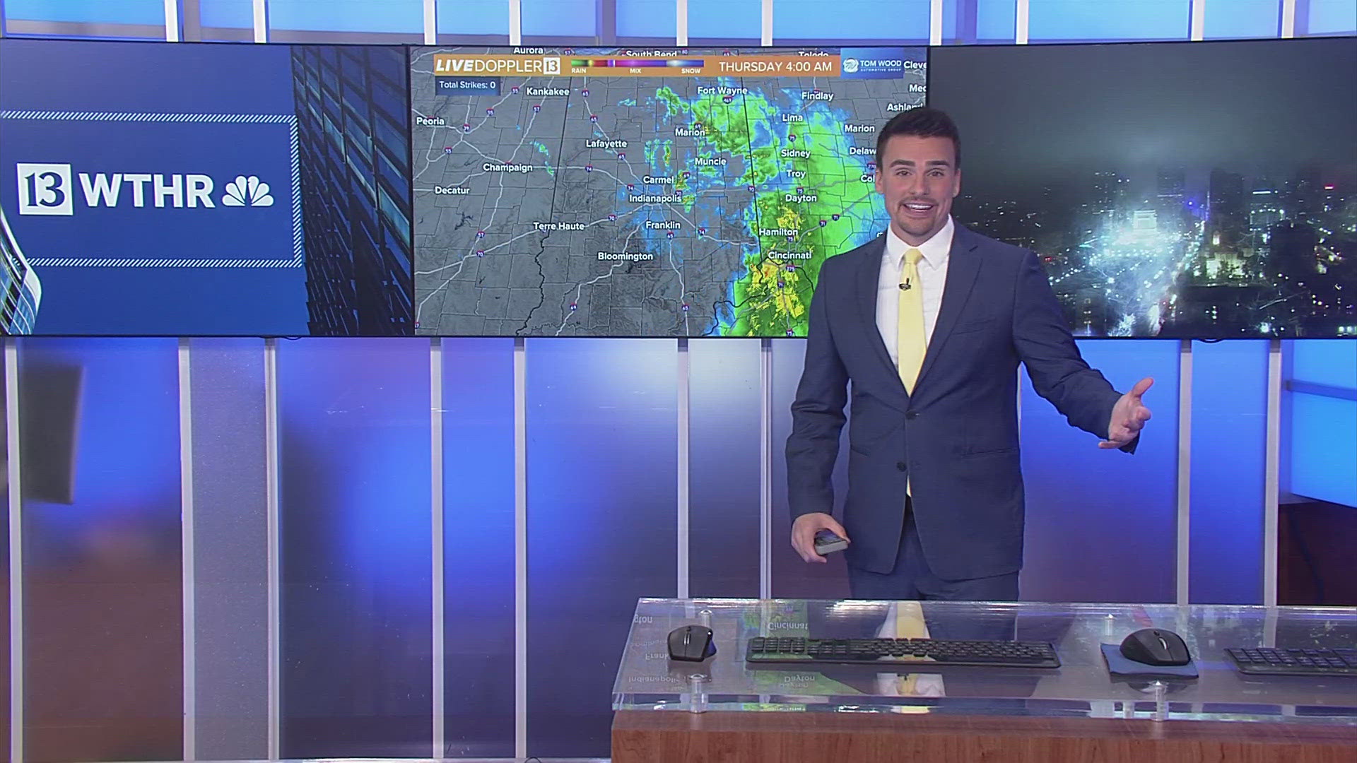
INDIANAPOLIS — Heavy rain and a few storms are in the forecast overnight. The storms are moving slowly and this will increase the threat for high water and flooding. High water is difficult to see when it's dark, so please travel with extra care.
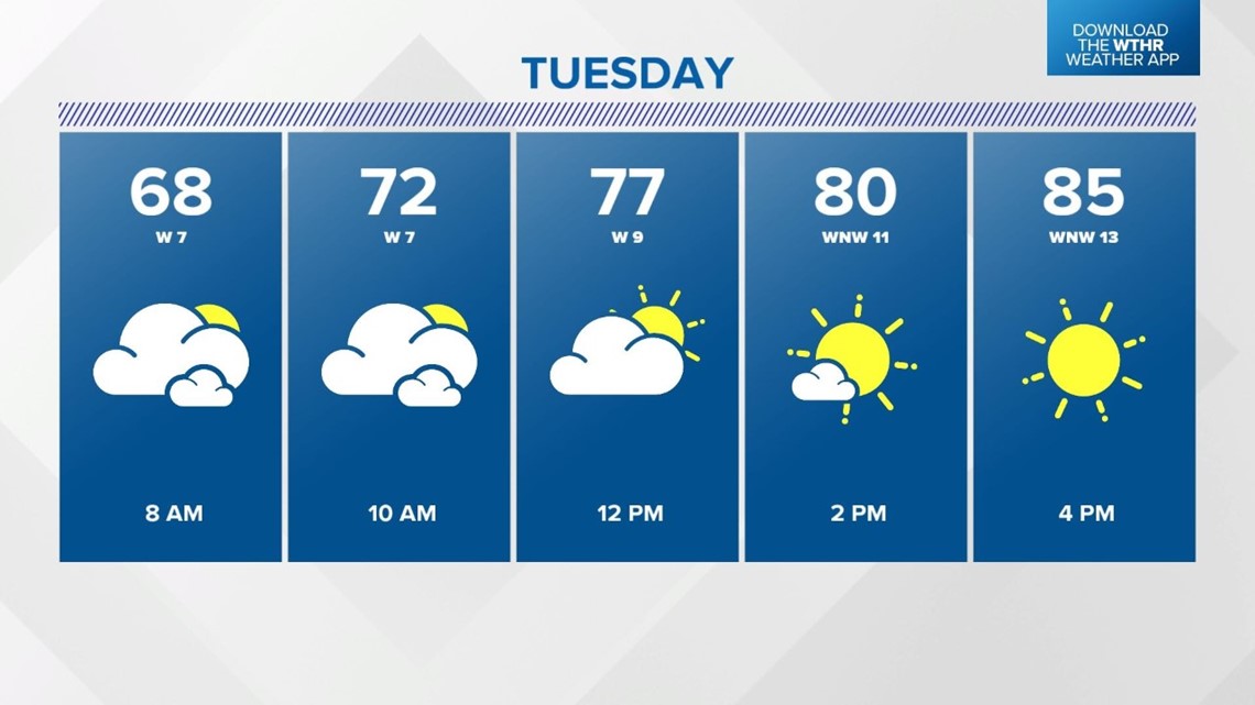
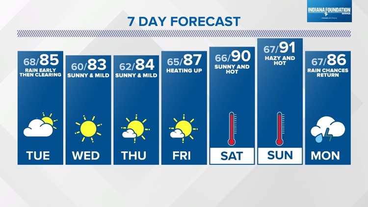
The storms are developing along and ahead of a cold front and that front will change our weather pattern. We had two hot and humid days near 90 degrees Sunday and Monday. You will feel a drop in the muggy meter behind the cold front. Rain chances end early Tuesday and skies will start to clear Tuesday afternoon with highs in the lower and middle 80s.


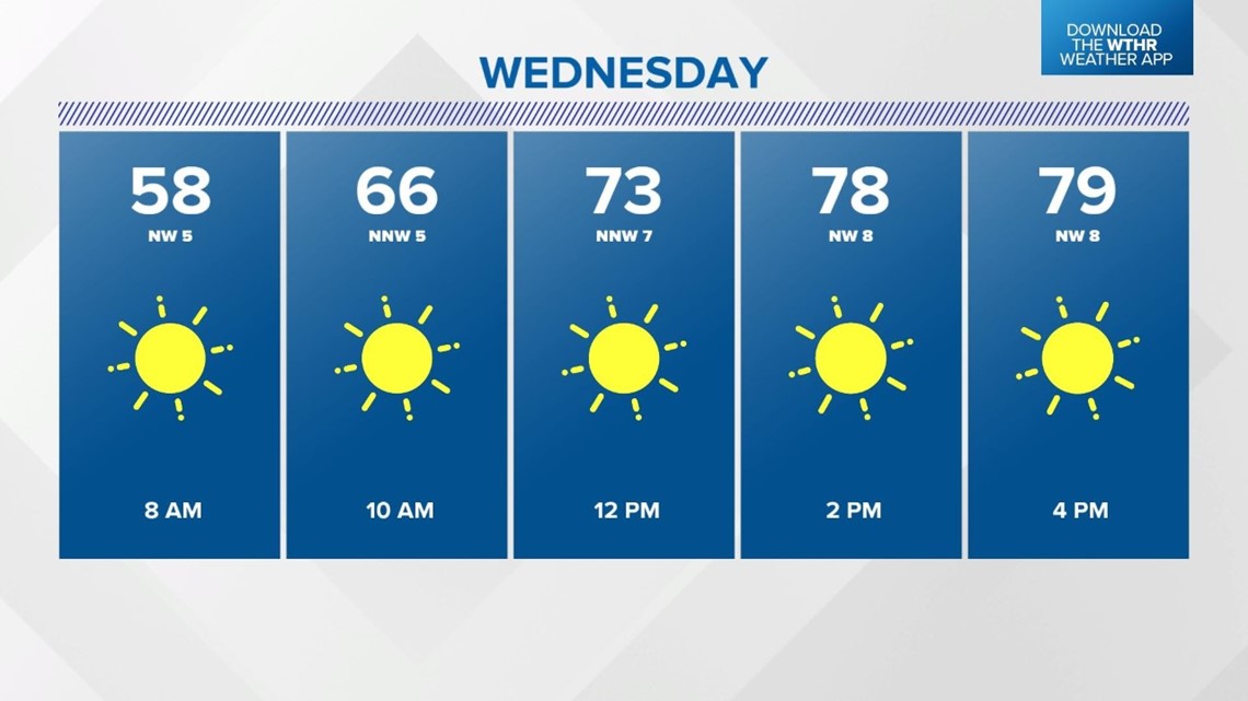
Sunny skies are in the forecast for Wednesday and Thursday. It will be warm and in the lower 80s, but comfortable, too, with low humidity.
The weather pattern starts to heat back for the end of the week and the holiday weekend. Forecast highs are back near 90 on Saturday and Sunday.


