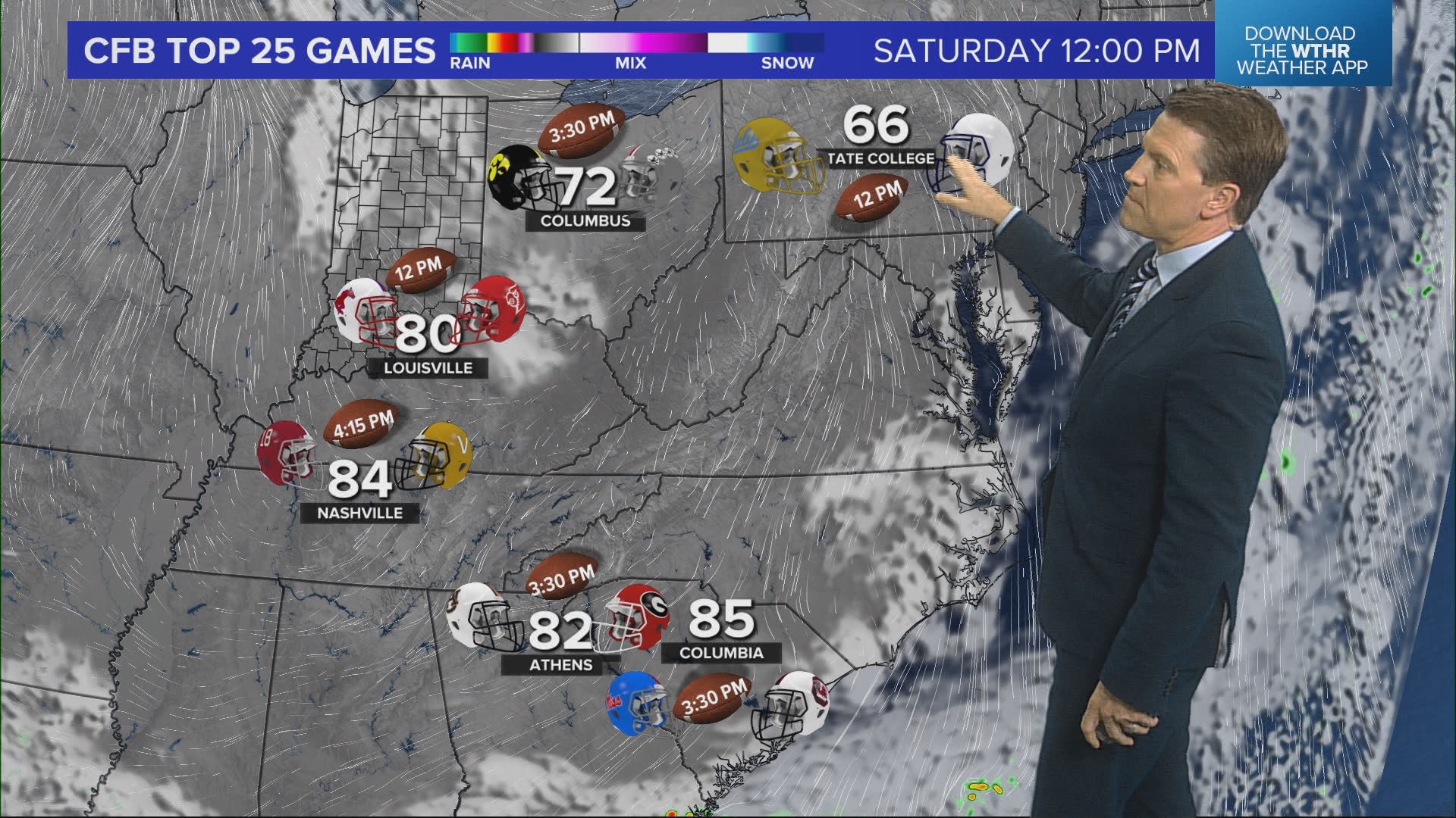
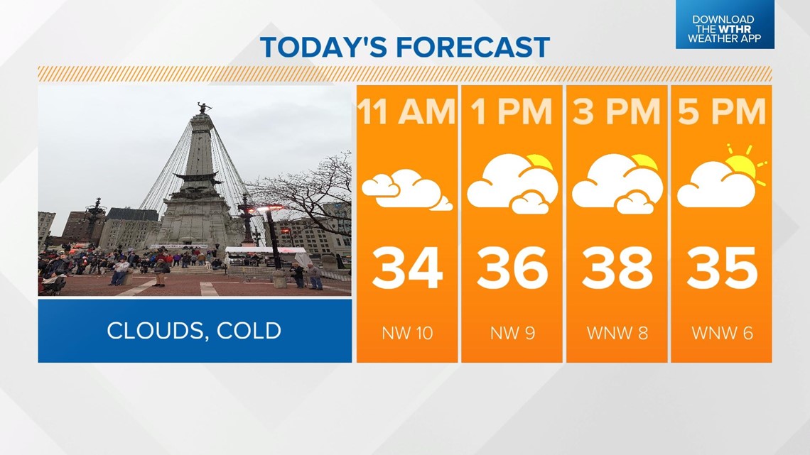
INDIANAPOLIS — After yesterday's overachieving snow event, we'll get a break from the wintry weather today. The exception will be a few lake-effect snow showers across the northwestern tier of the state during the first part of the day. Look for some sunshine breaking through the clouds this afternoon as temperatures remain unseasonably cool with highs only in the upper 30s.

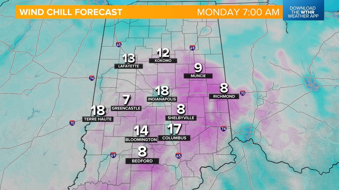
Skies will be mostly clear to partly cloudy overnight. It'll be a cold one with lows in the low 20s and wind chills dropping into the single digits in outlying areas by early Monday morning.

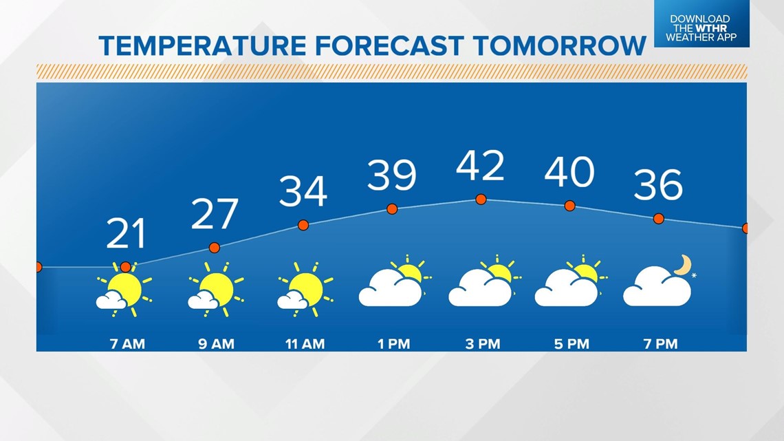
We'll see a slight warming trend on Monday with highs back in the low 40s -- this will be the warmest of the week. Skies start off mostly clear with clouds building in the afternoon as our next storm system approaches.

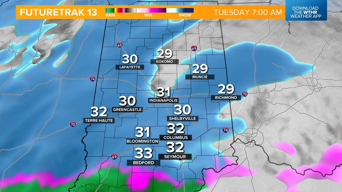
This storm system brings a combination of snow and rain early Tuesday morning. A wintry mix of rain/snow will be most likely across southern Indiana where temperatures will be a few degrees warmer.

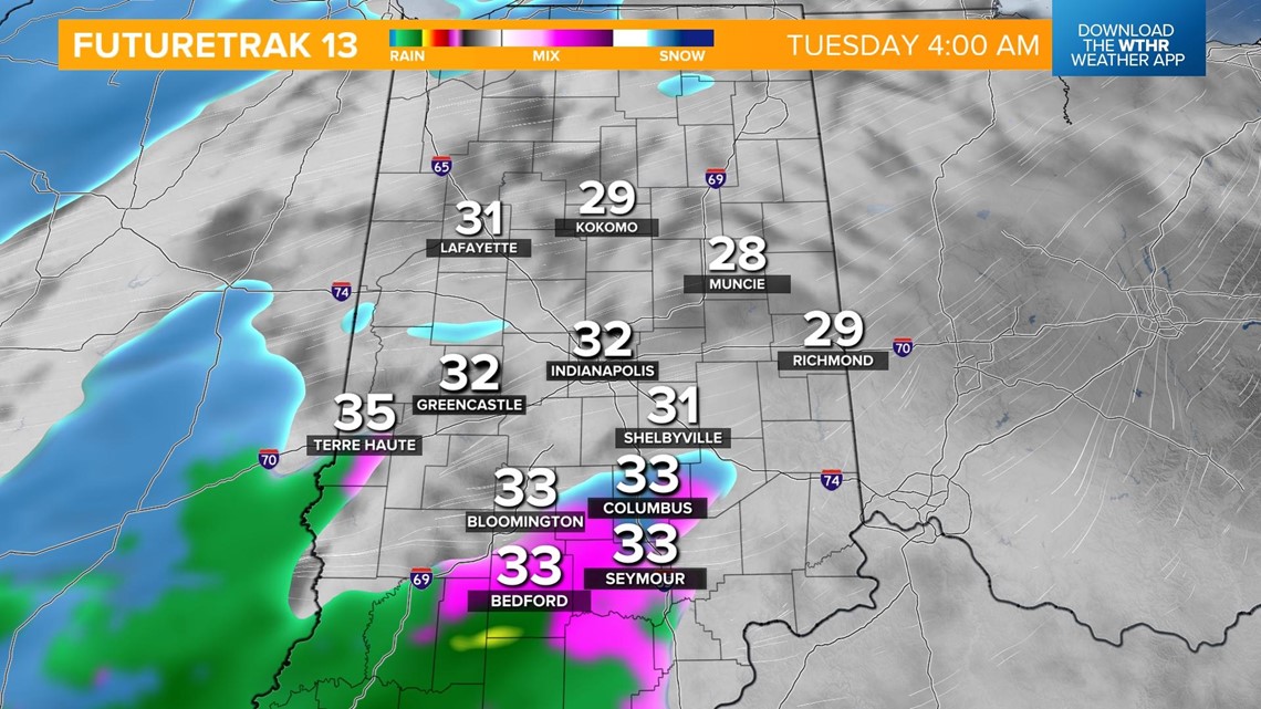
This will all transition to snow by the Tuesday morning rush hour making for tricky travel during the first part of the day on Tuesday. Light snow accumulation looks to be possible with this system.


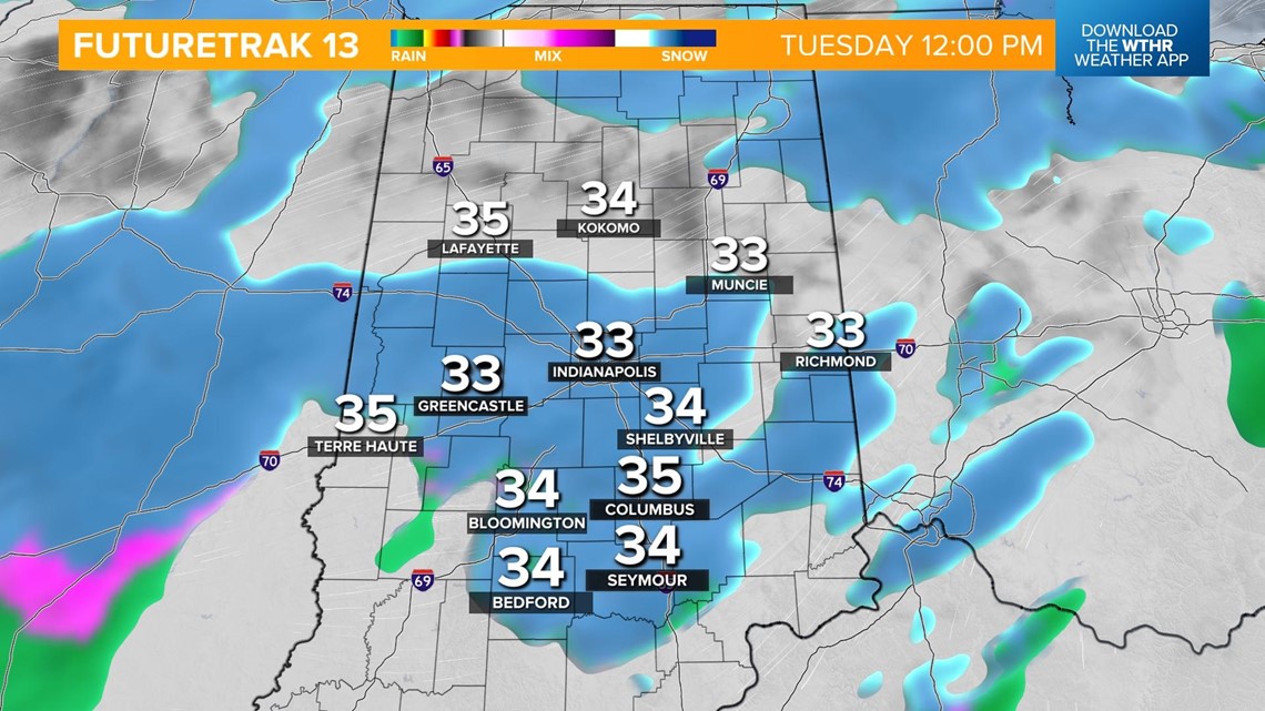
Temperatures will top out in the upper 30s as this system wraps up Tuesday afternoon.