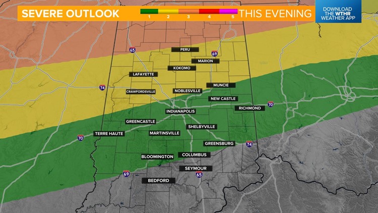
INDIANAPOLIS — The Storm Prediction Center has placed north central Indiana (yellow) under a level 2 of 5 for the risk of scattered severe storms and very northern Indiana (orange) under a level 3 signifying the risk of more widespread severe storms.


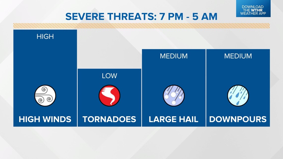
Large hail and damaging wind gusts will be the primary threats and isolated tornadoes can't be ruled out. With an already saturated ground, additional heavy rainfall could easily lead to localized flooding as well. Stay weather aware overnight with multiple ways to receive alerts.

Timeline
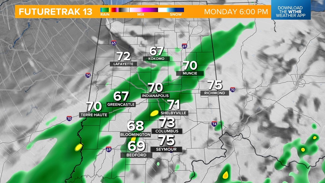
Storms will begin to pop up after 6 p.m. and all modes of severe weather are possible with these initial isolated storm cells.

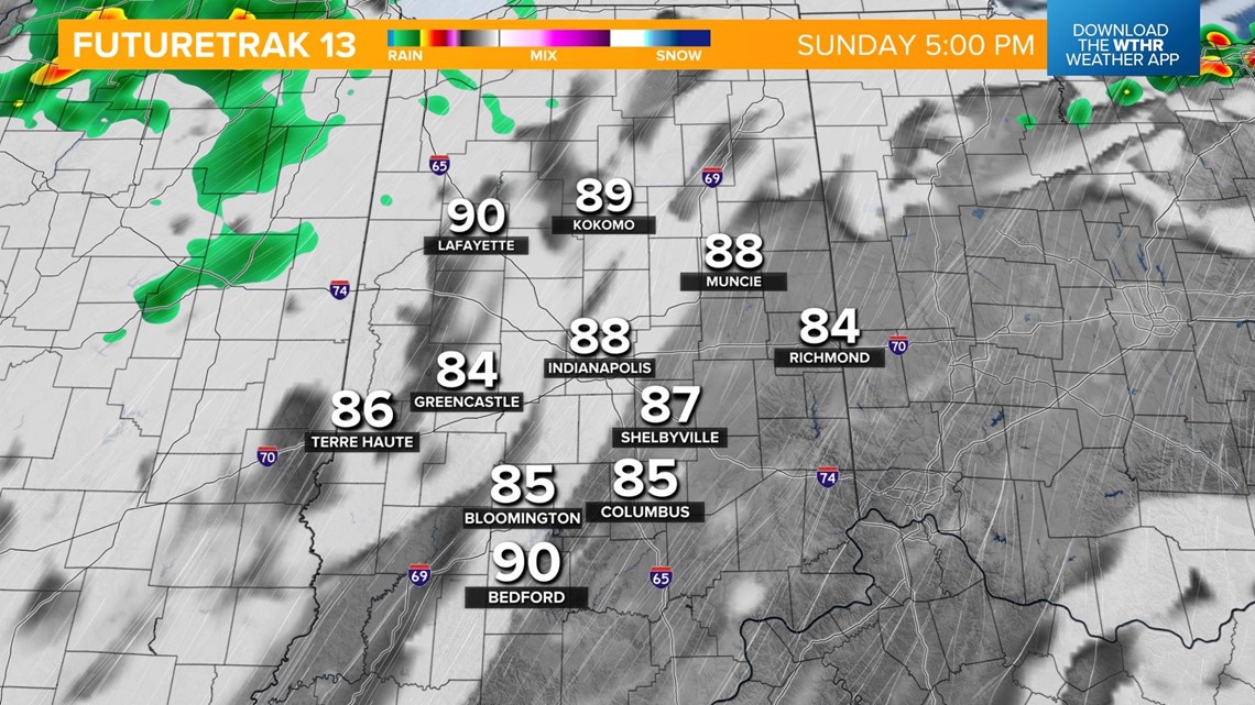

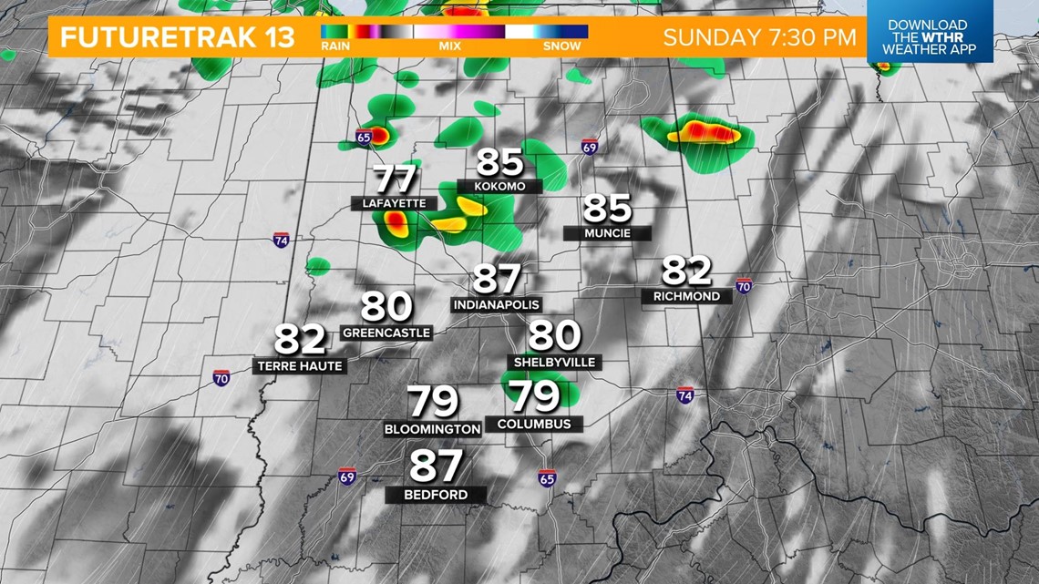
The line of storms that is set to develop along a cold front will push through the state overnight. Damaging wind gusts will be the primary threat here.

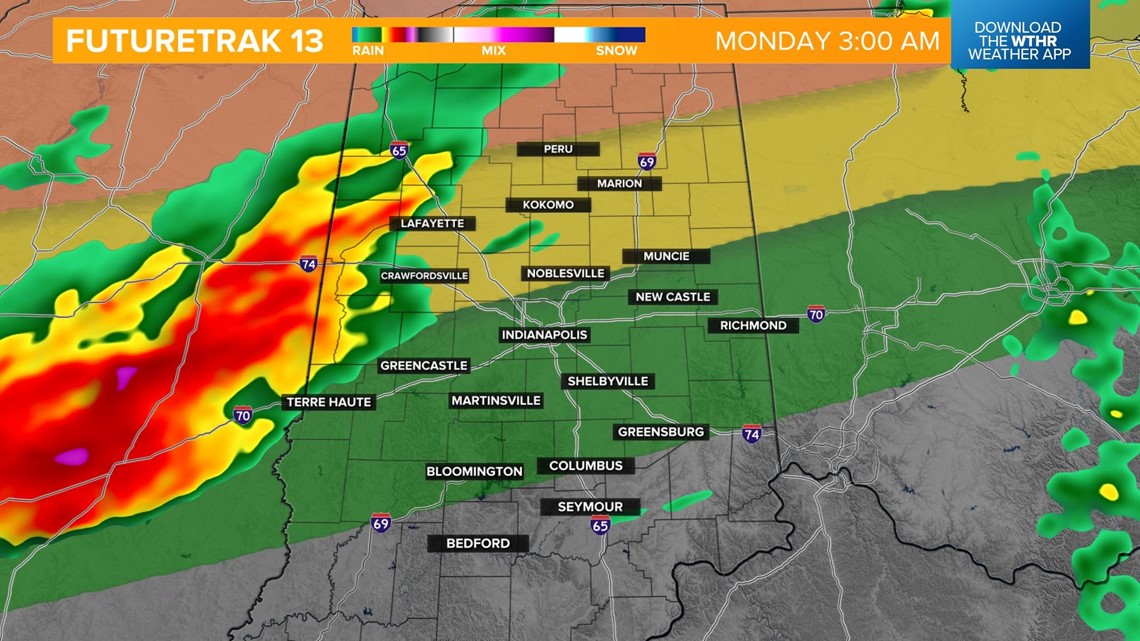
This boundary will push east by Monday morning. A few lingering storms will be possible in the morning with some afternoon dry time.

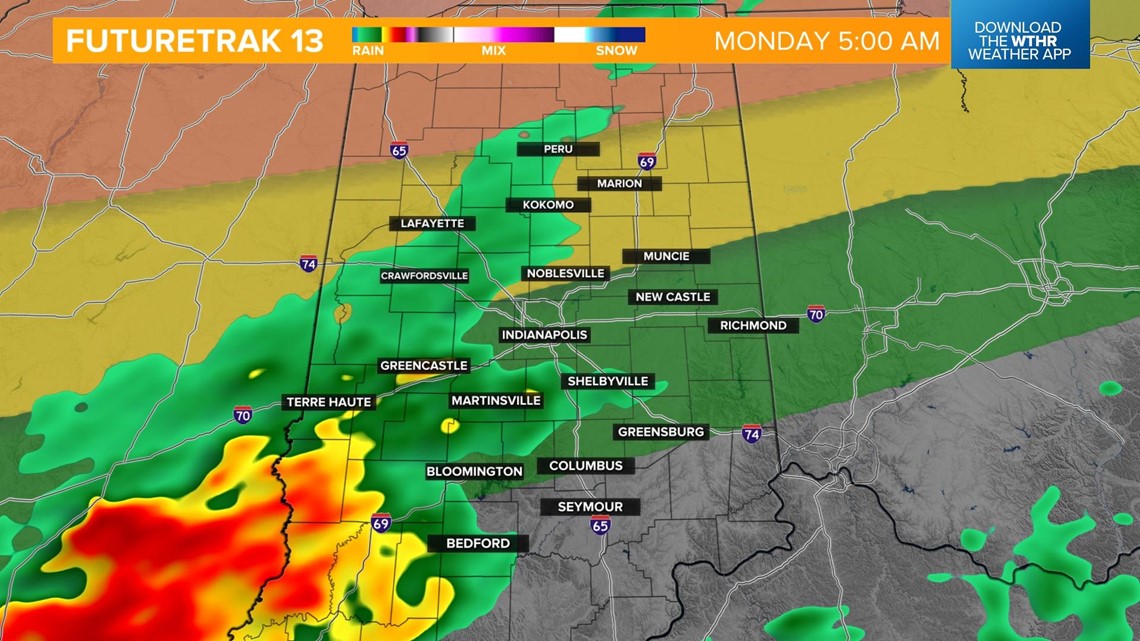
A second swath of showers will be possible in the afternoon before dry air returns in the evening. Temperatures will already be cooler Monday with a high in the low 80s.

