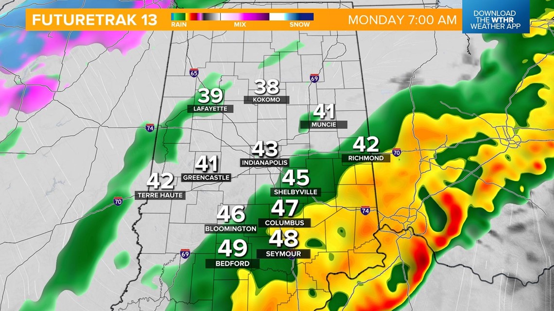
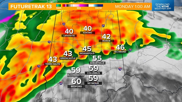
INDIANAPOLIS — A line of overnight storms produced several severe thunderstorm and tornado warnings, but all had expired by 7 a.m. with the exception of a Severe Thunderstorm Watch for Wayne County on the Ohio border of Indiana.
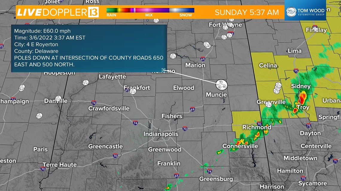
No substantial damage was reported but there were a few wind damage reports from Frankfort and poles down in northern Delaware County and eastern Madison County.

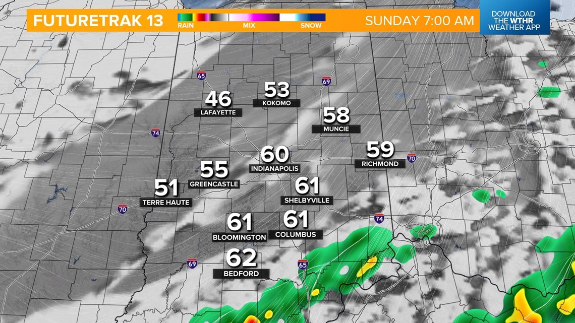
The boundary responsible for sparking the overnight storms will push south and stall out this morning allowing for skies to clear and some dry time through the morning and afternoon today.

We're not out of the woods, though. The Storm Prediction Center has placed the southern third of Indiana under a risk of strong to severe storms late tonight.

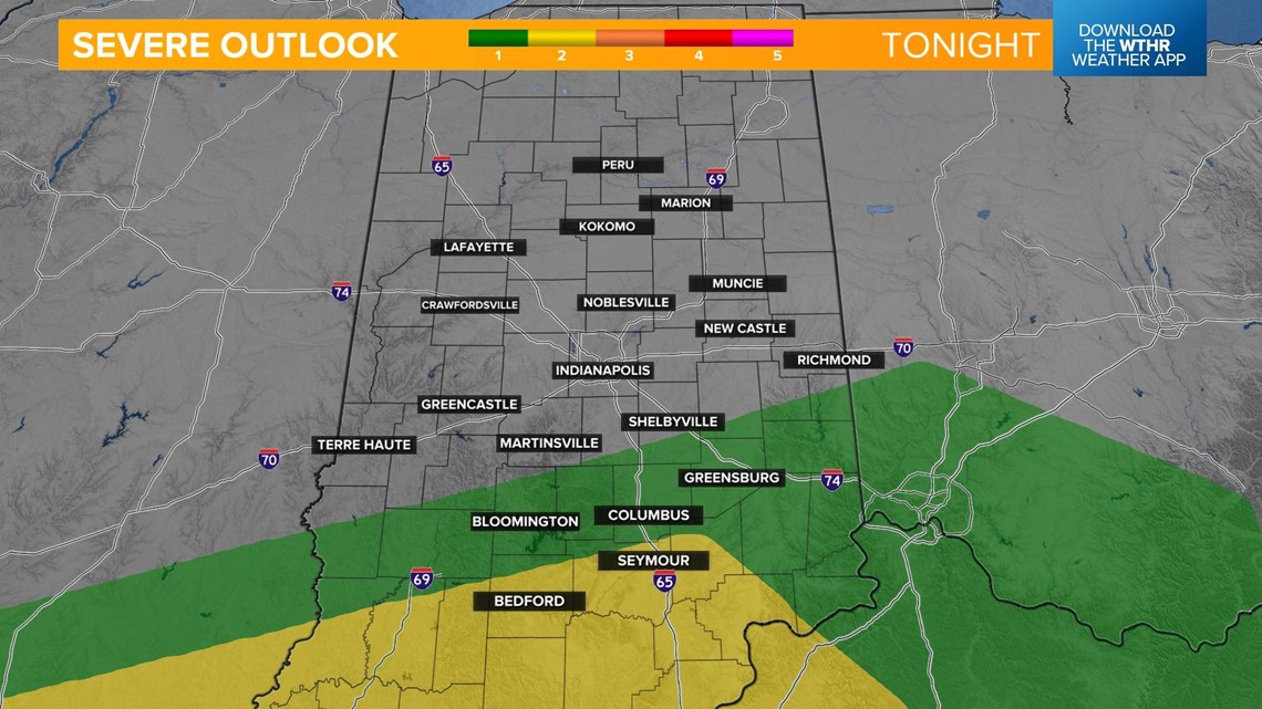
Storms start to develop and move into central Indiana along a warm front after 10 p.m. and storms become stronger and more widespread overnight.

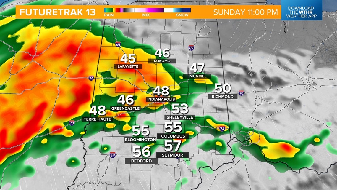
As the cold front approaches closer to 1 a.m., the threat of strong to severe storms capable of producing damaging wind gusts and isolated tornadoes increases.


The line will continue to march east keeping a risk of strong storms in the southern tier of the state through early Monday morning.


The severe risk ends early Monday as rain showers continue, mainly south. Much colder air takes back over on the backside of this cold front with temperatures back in the 40s for much of the day.

